

Te Araroa
New Zealand’s South Island
02/02/2024—03/22/2024
Between December 10, 2023 and March 22, 2024, I tramped the length of New Zealand's 3033km long trail, Te Araroa, from Cape Reinga to Bluff.
I hiked across the South Island on Te Araroa in 50 days—some of the hardest miles I’ve ever hiked, and the most breathtaking.
I forded the Wilberforce and Rakaia Rivers, hiked in the Timaru, Arrow and countless other rivers for many miles at a time, wallowed through mud, was almost fully consumed by sandflies on several occasions, climbed the most beautiful mountains and took snack breaks on soaring passes.
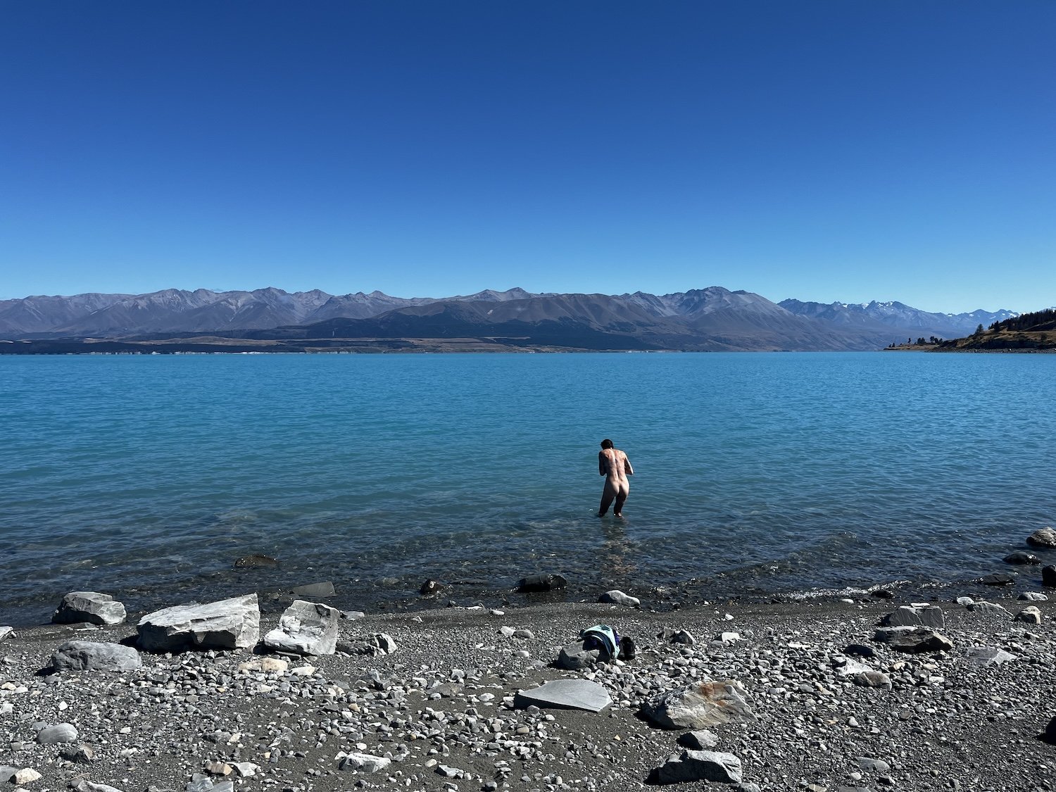
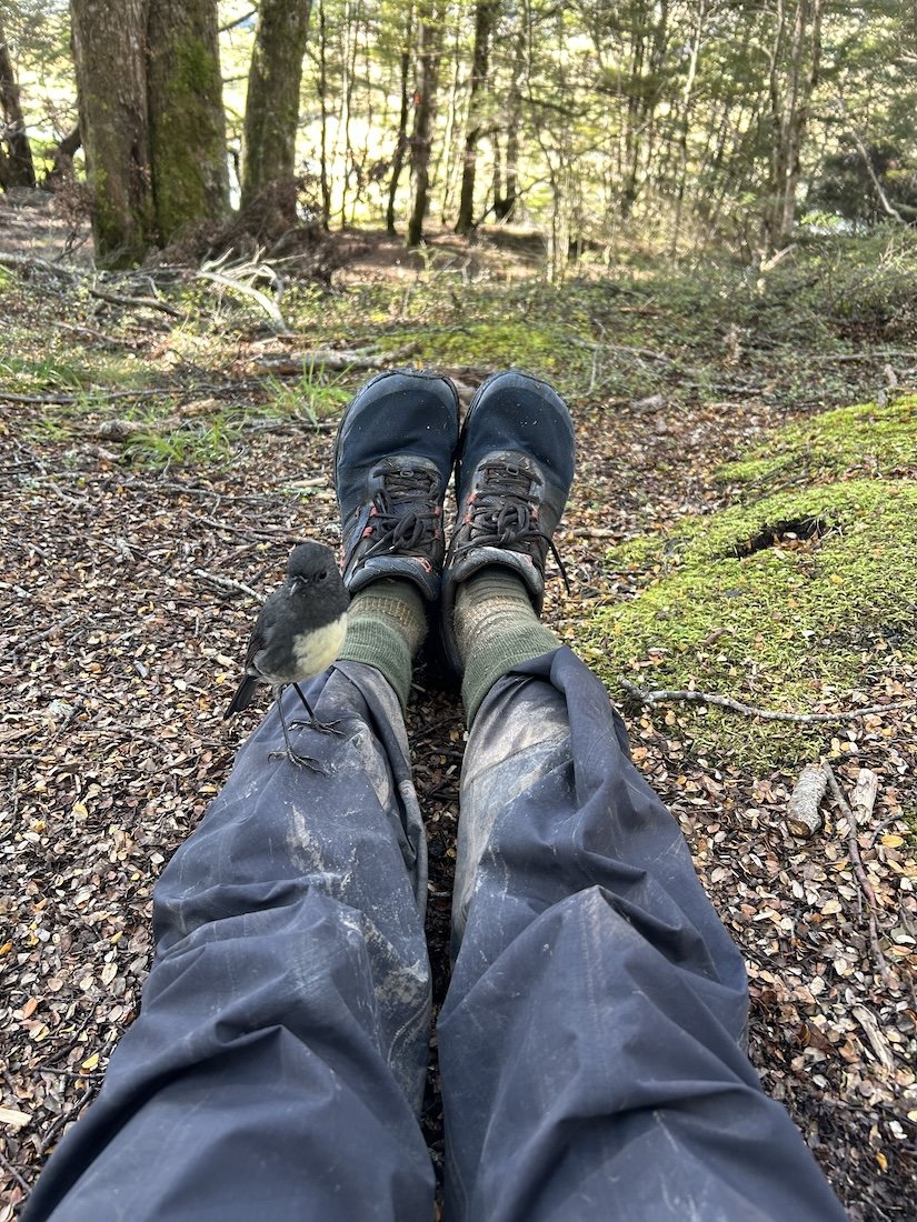
I swam in lakes, I ate a million butter chicken and mince pies, drank gallons of chocolate milk, I took zeros when I needed them and dug deep to make miles despite my growing exhaustion. I fell in and out of love with walking everyday, but we never went to bed angry, and I made friends with every bird who deemed me worthy of notice.
I took an absurd amount of photos—too many—and had to be extremely choosy when making this gallery because I ran out of room.
The world is a big, beautiful place, it’s all worth seeing, even the muddiest parts.

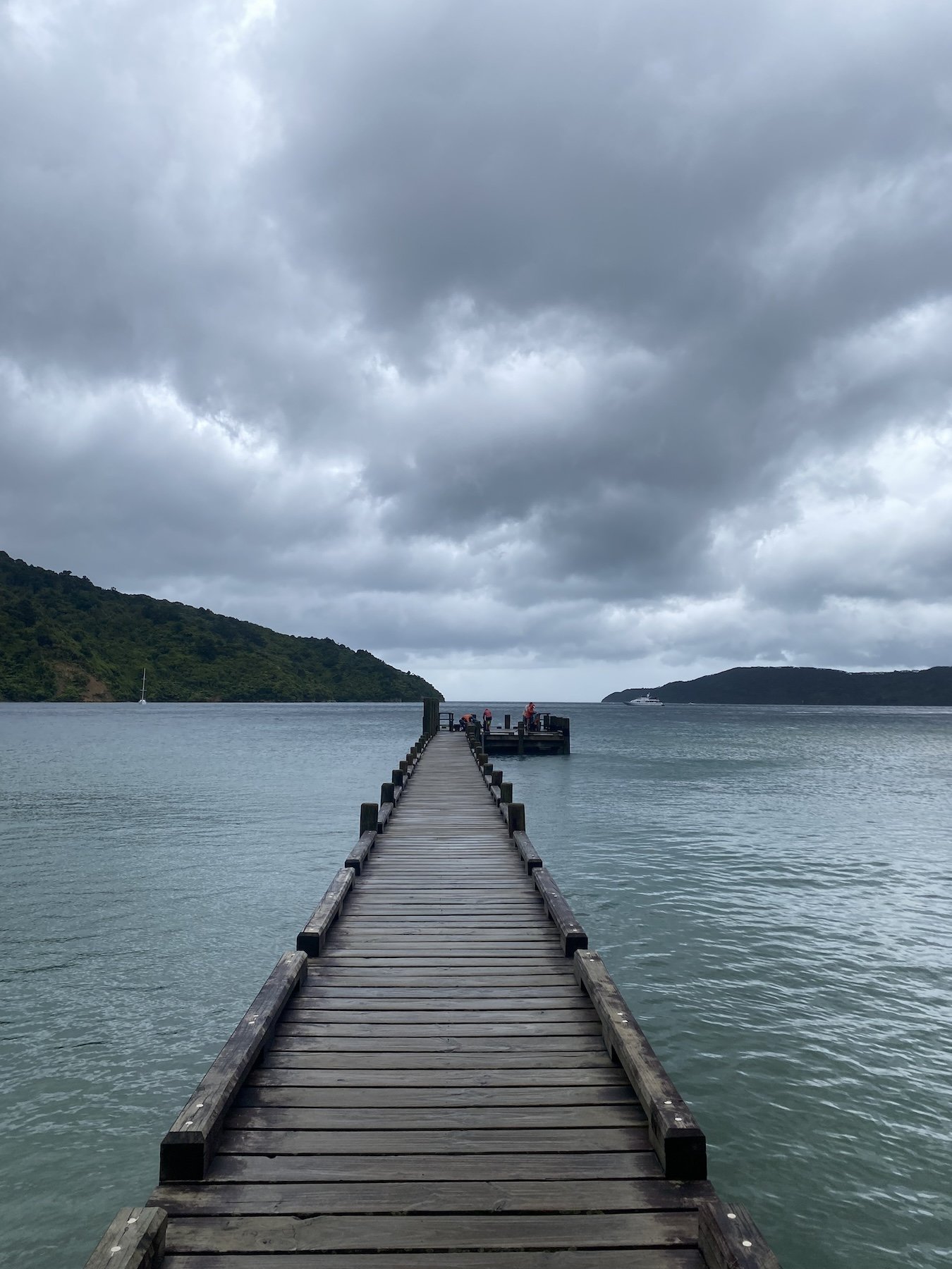
The ferry ride from Wellington to Picton


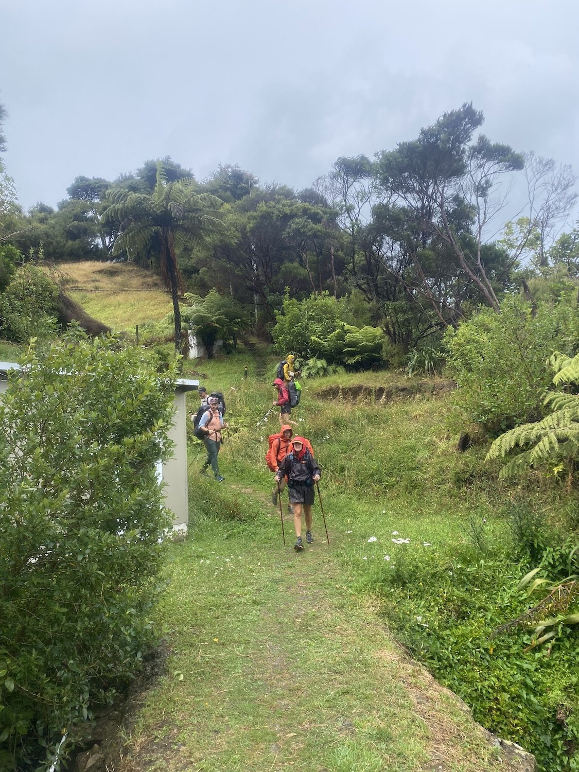
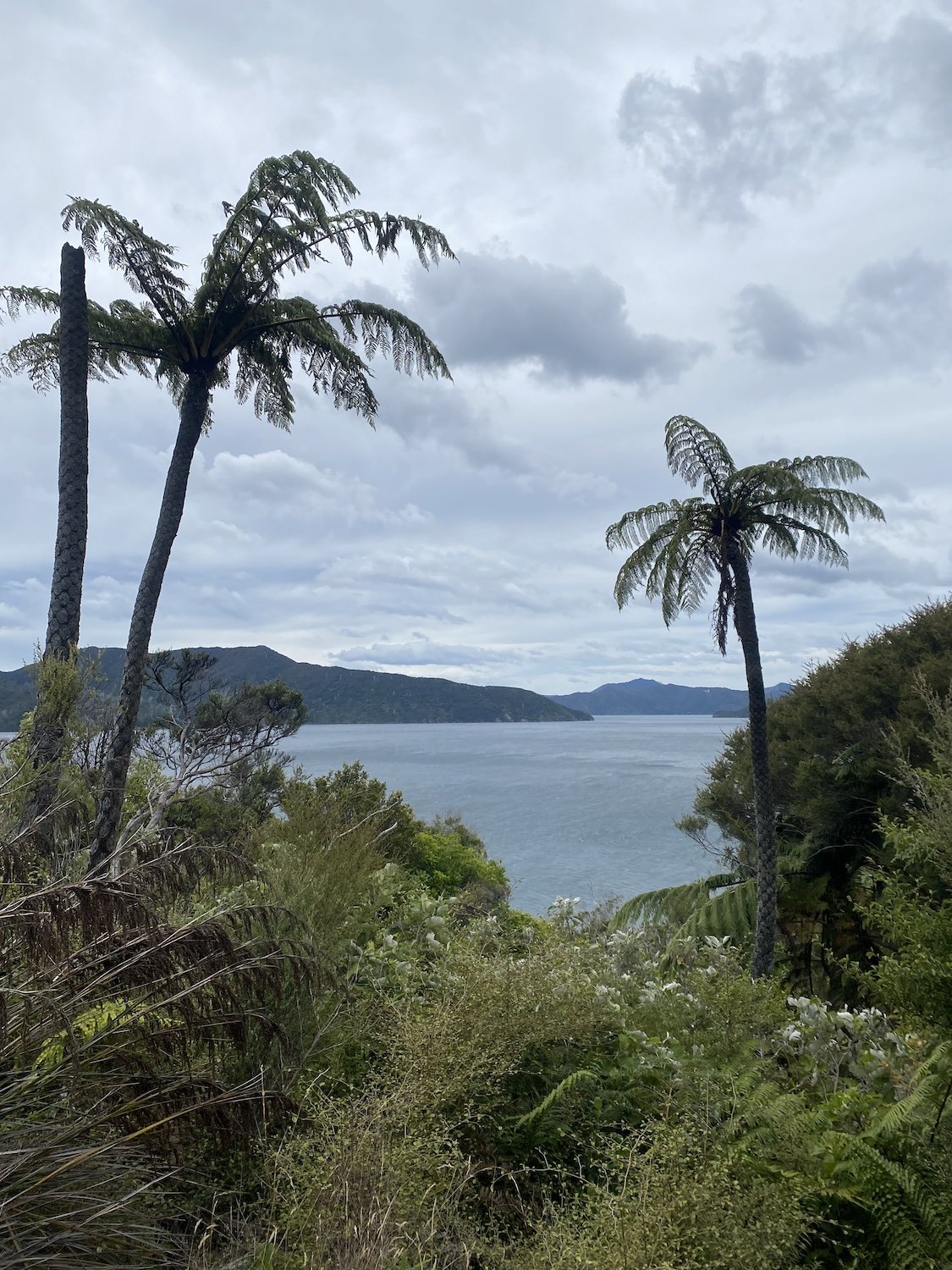
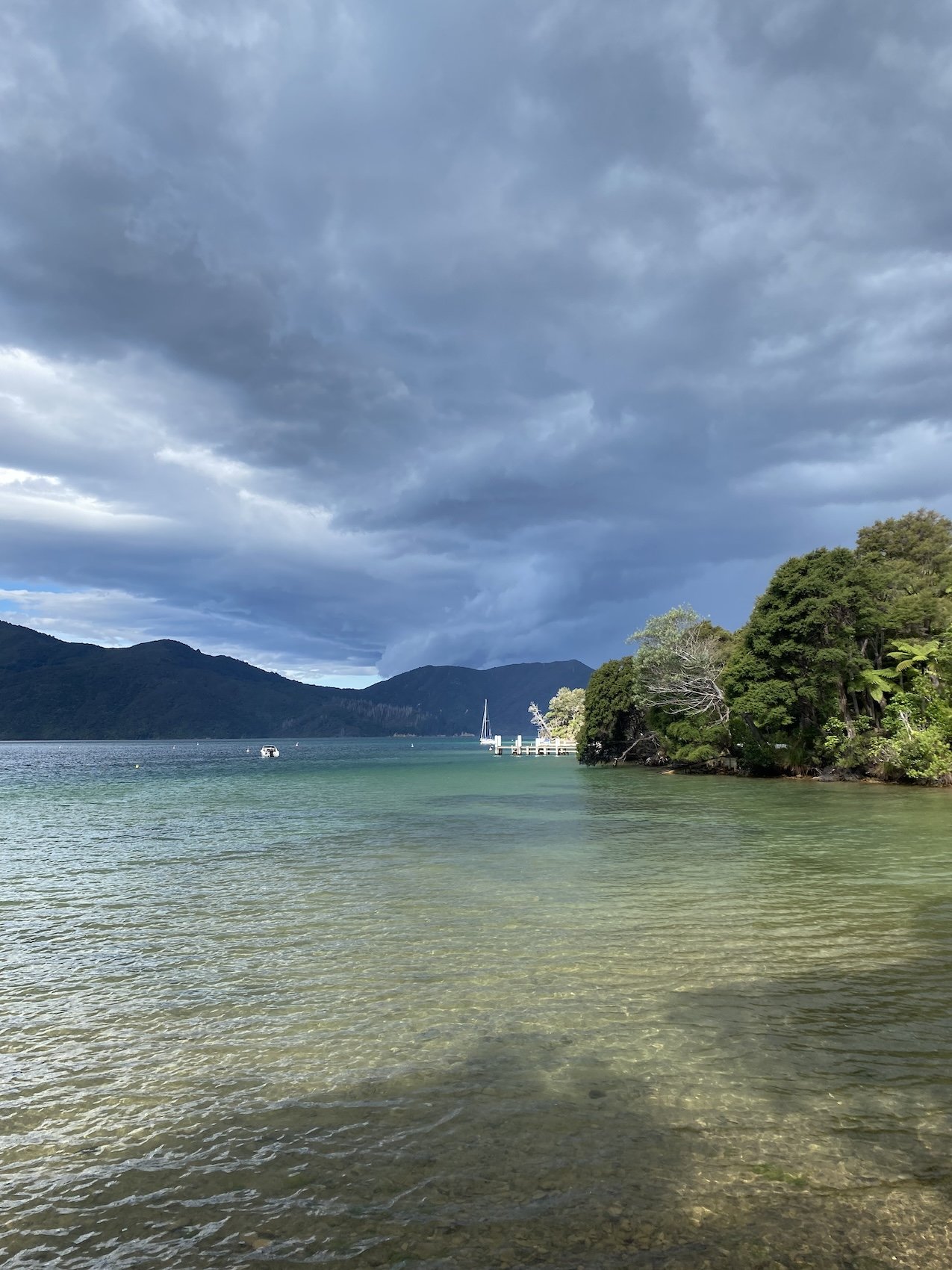
The Queen Charlotte Track


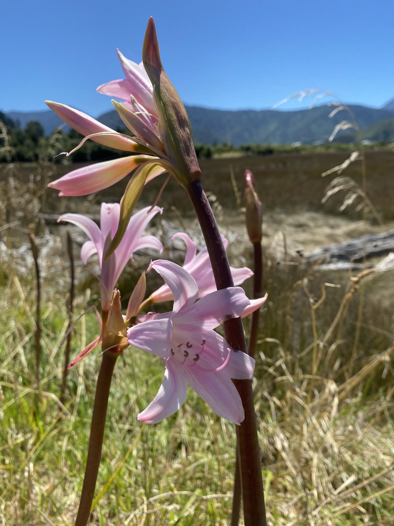


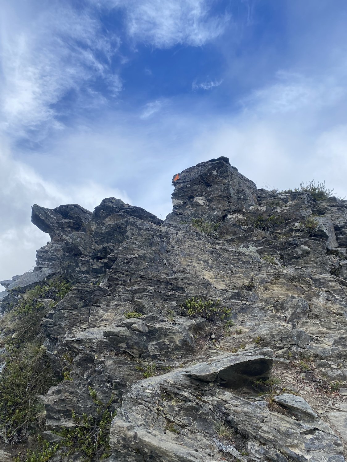
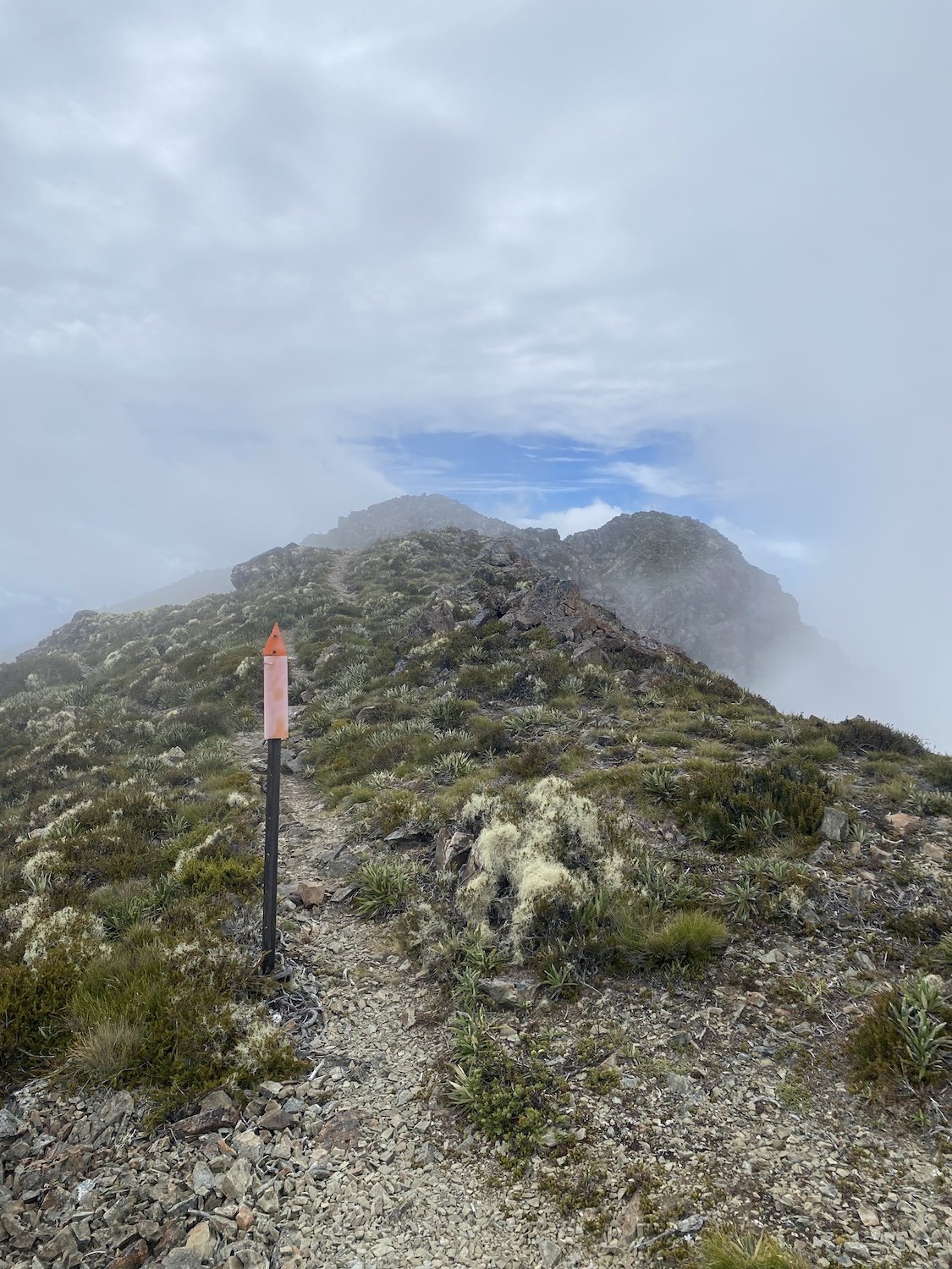
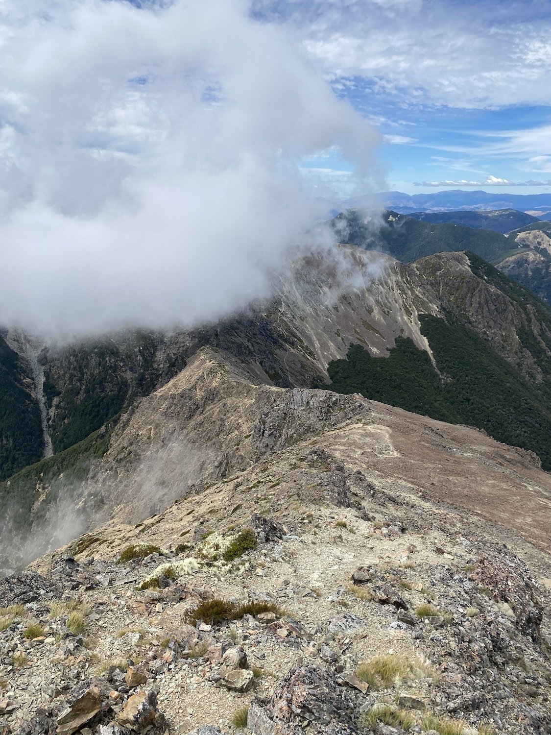
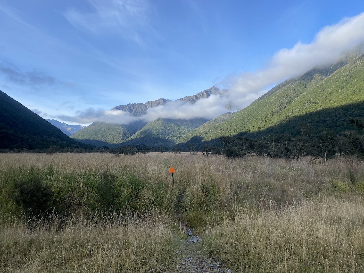
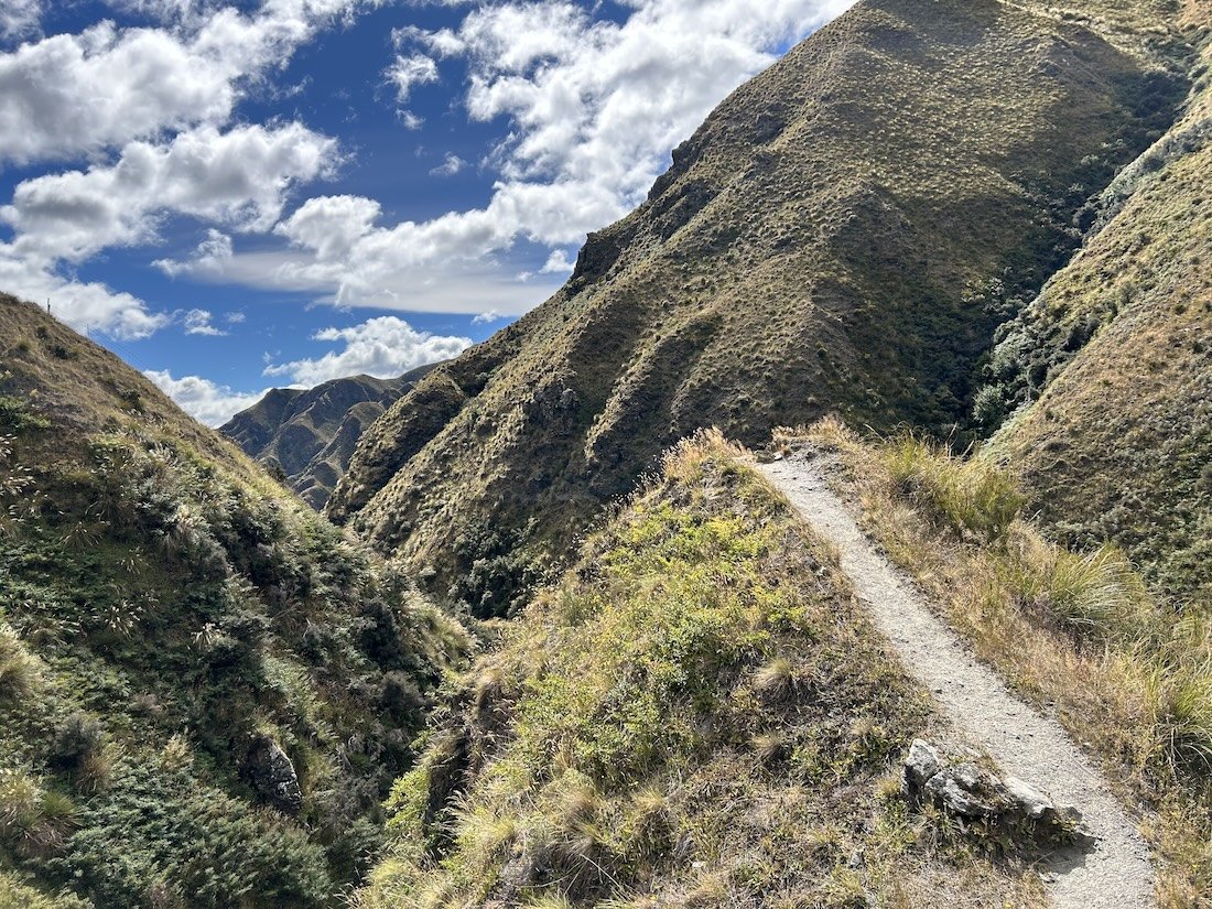
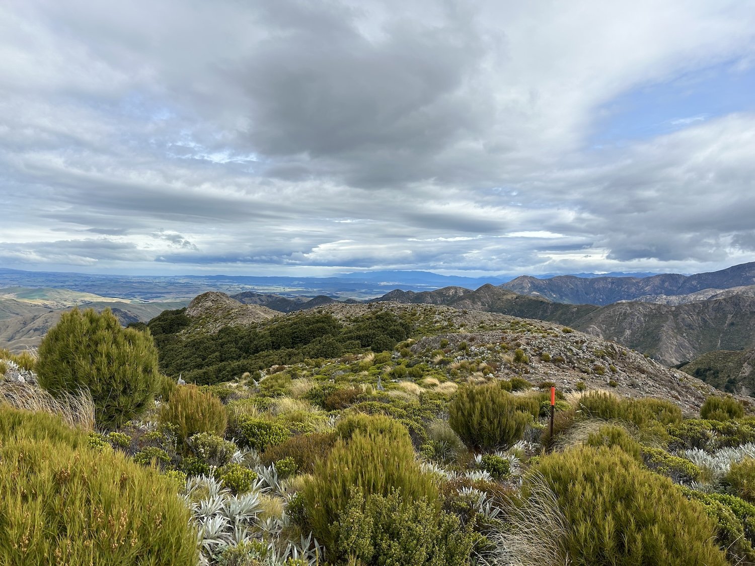
The start of the Richmond Ranges


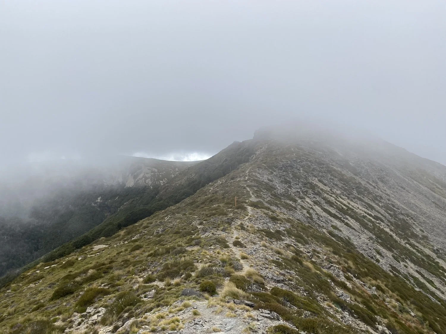


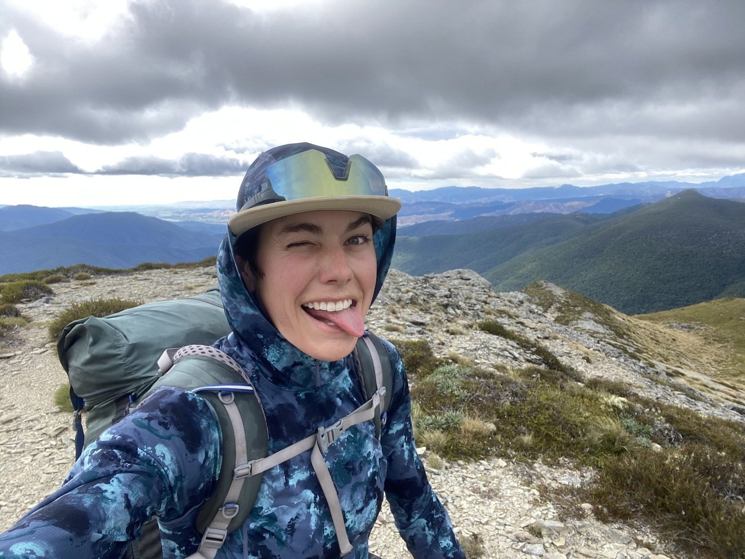
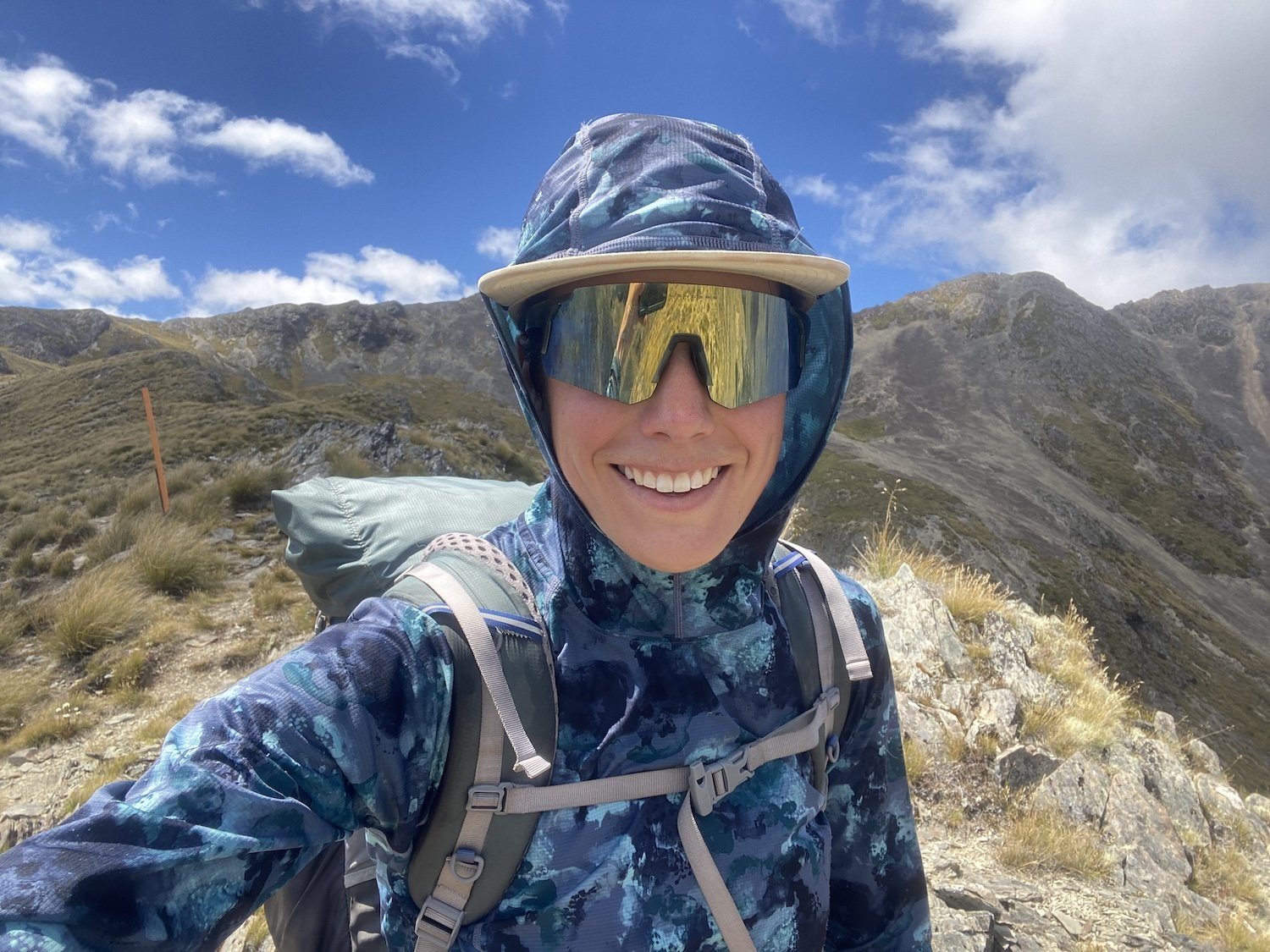
Photo taken by Taki


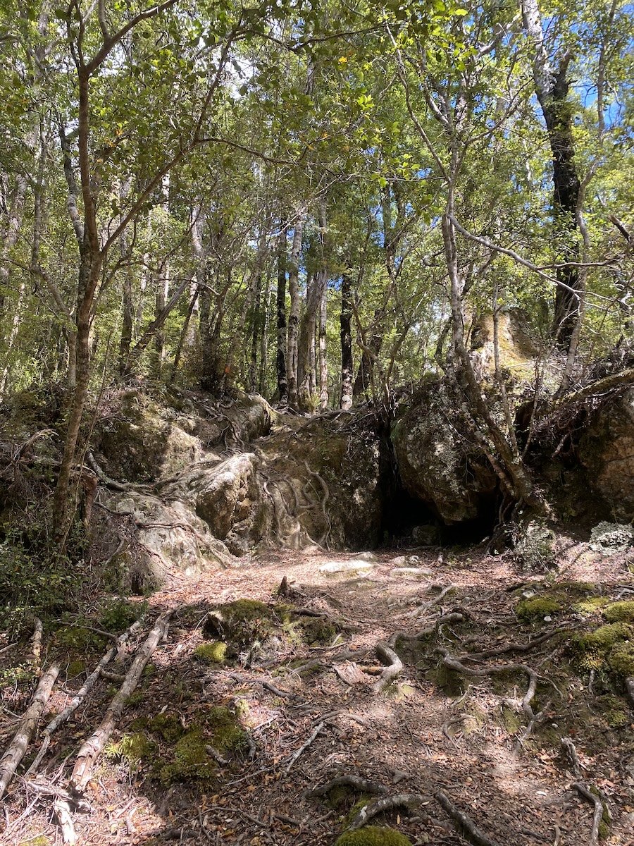
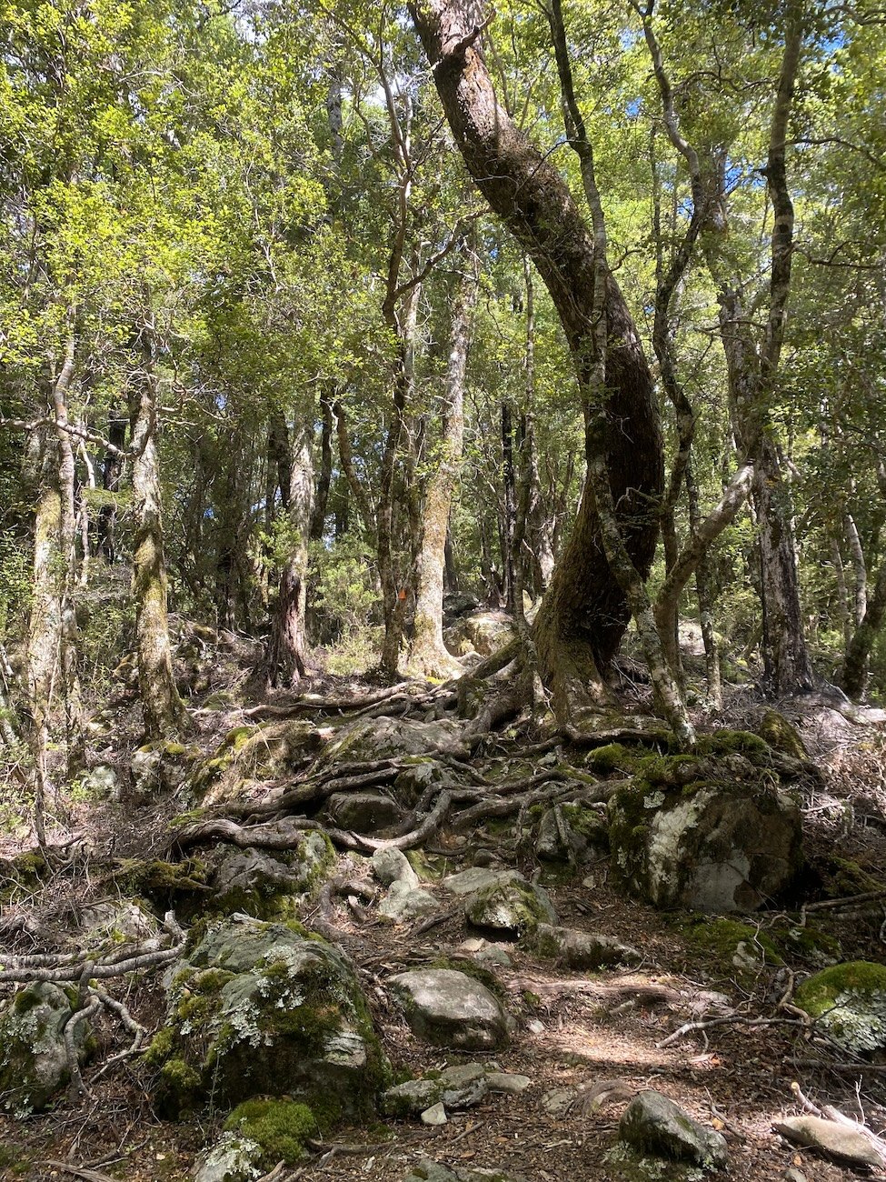


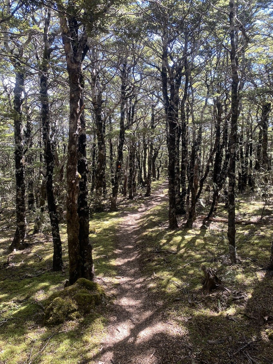

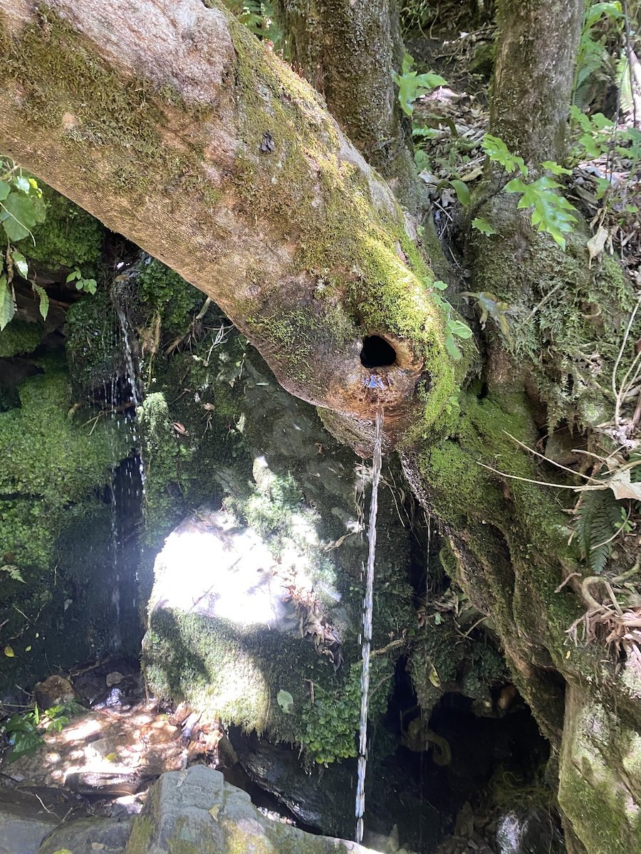
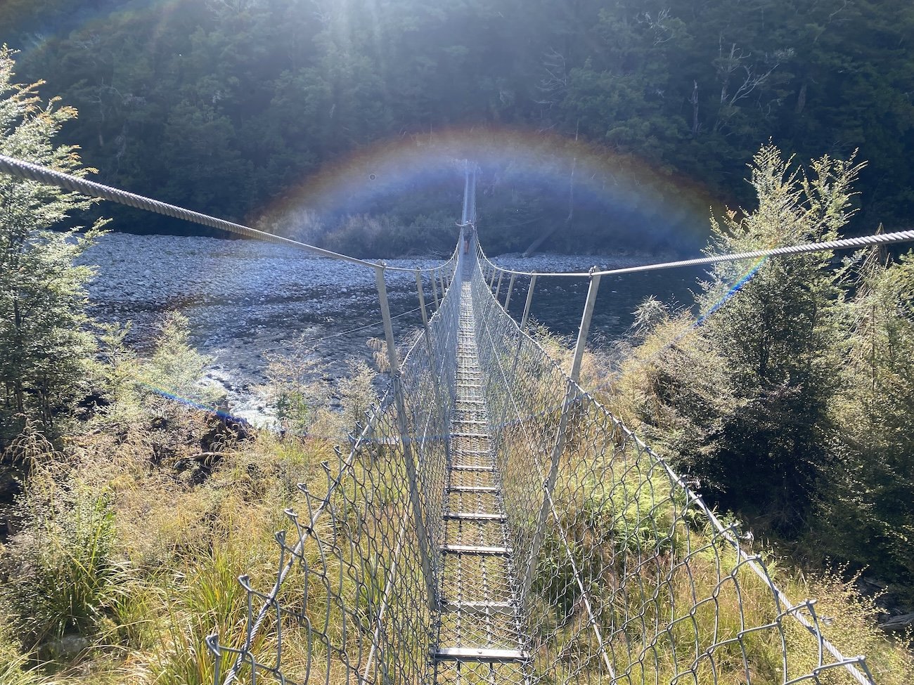
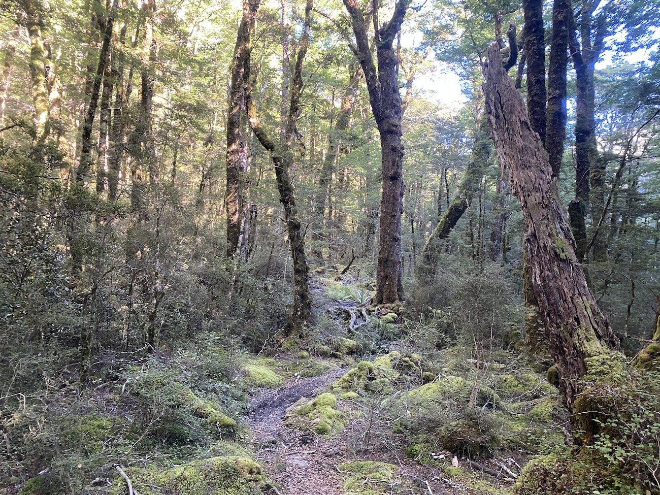
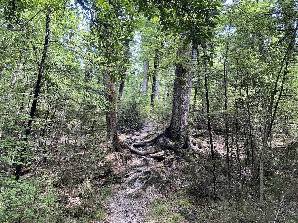
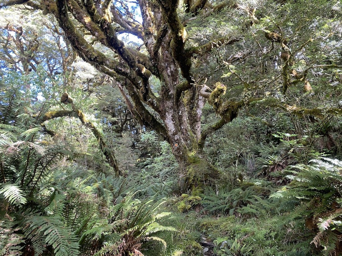
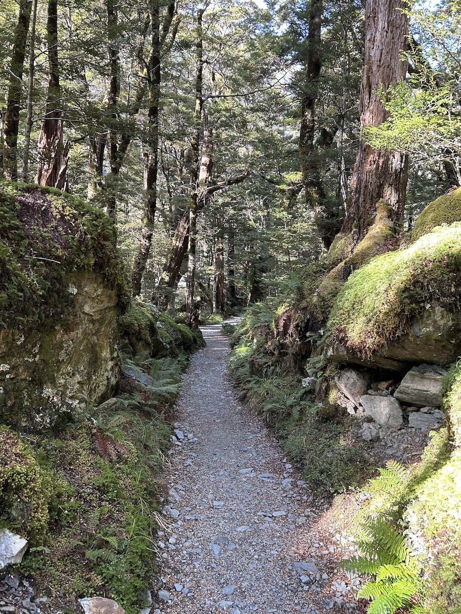
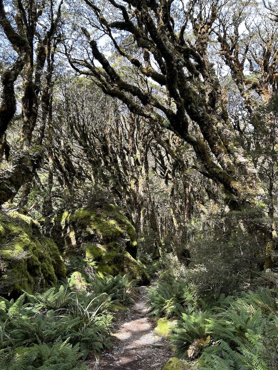
The Wairoa River Track


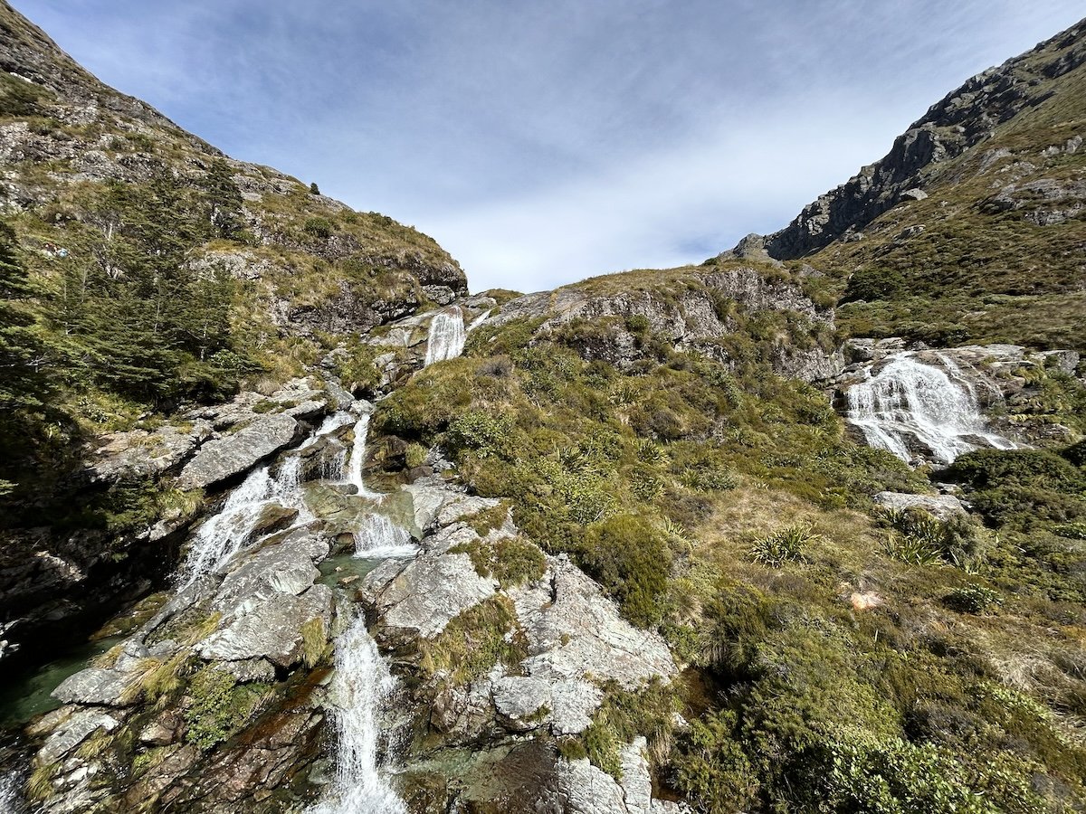
Travers Falls, Nelson Lakes NP


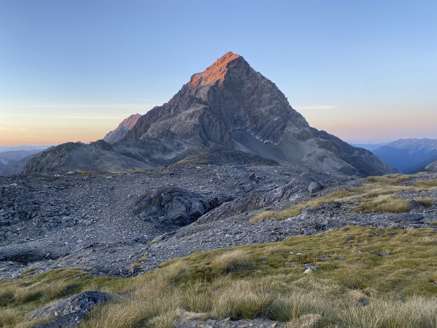

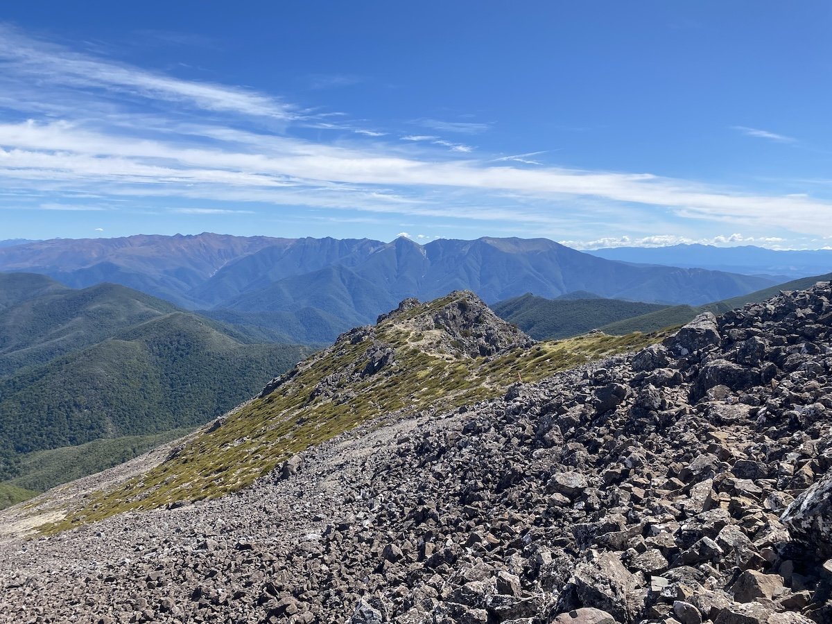
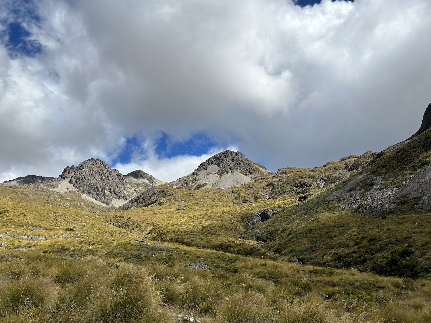
Mount Travers, Nelson Lakes NP
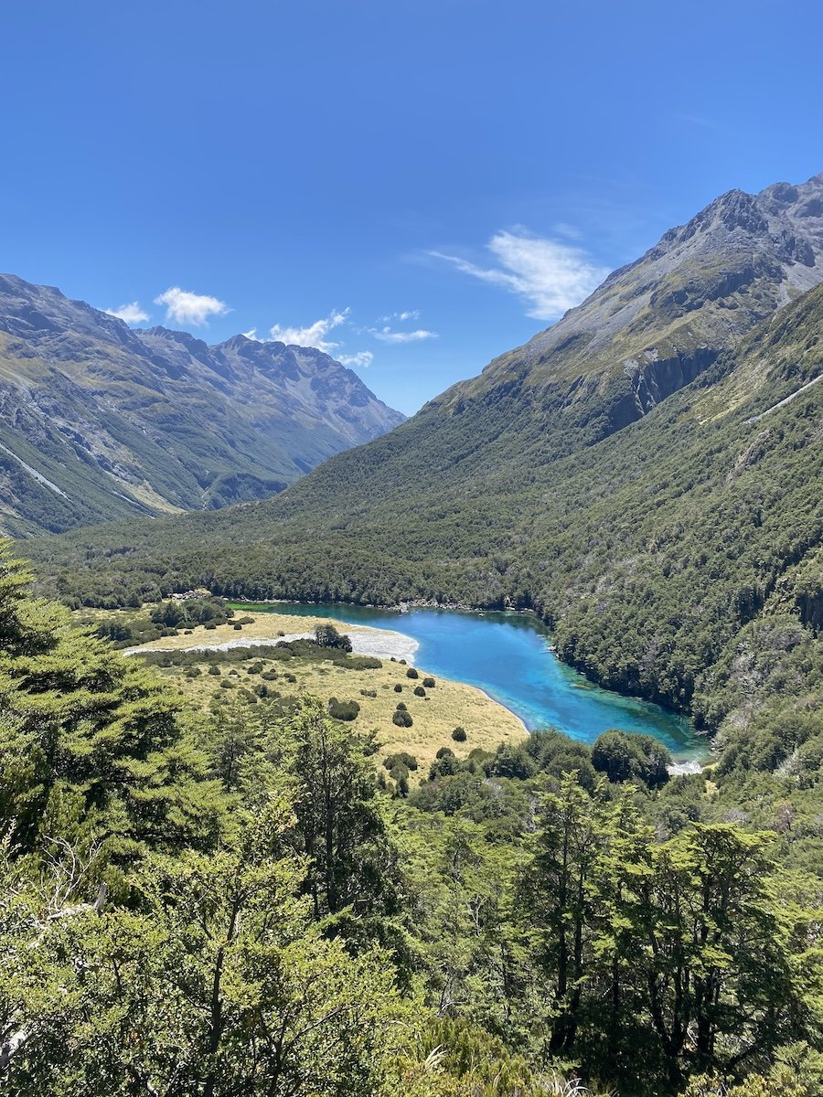
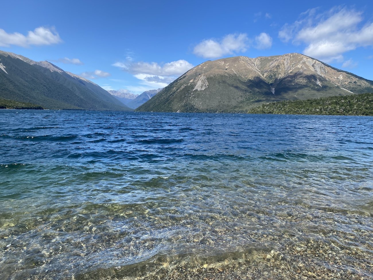
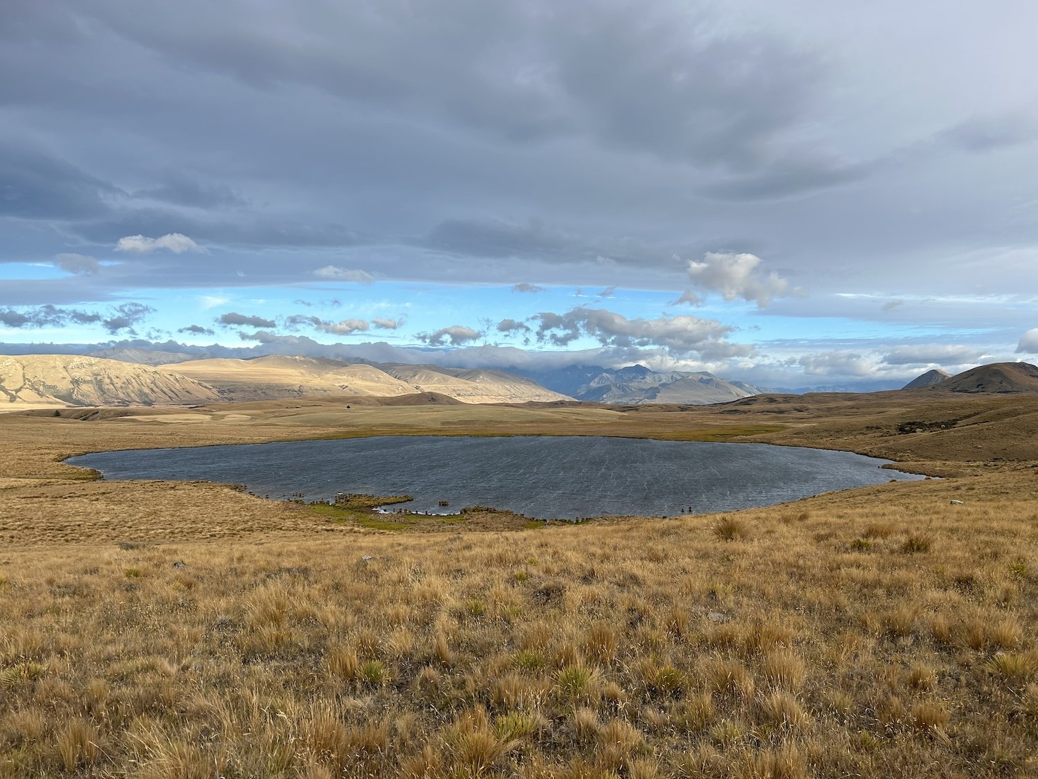
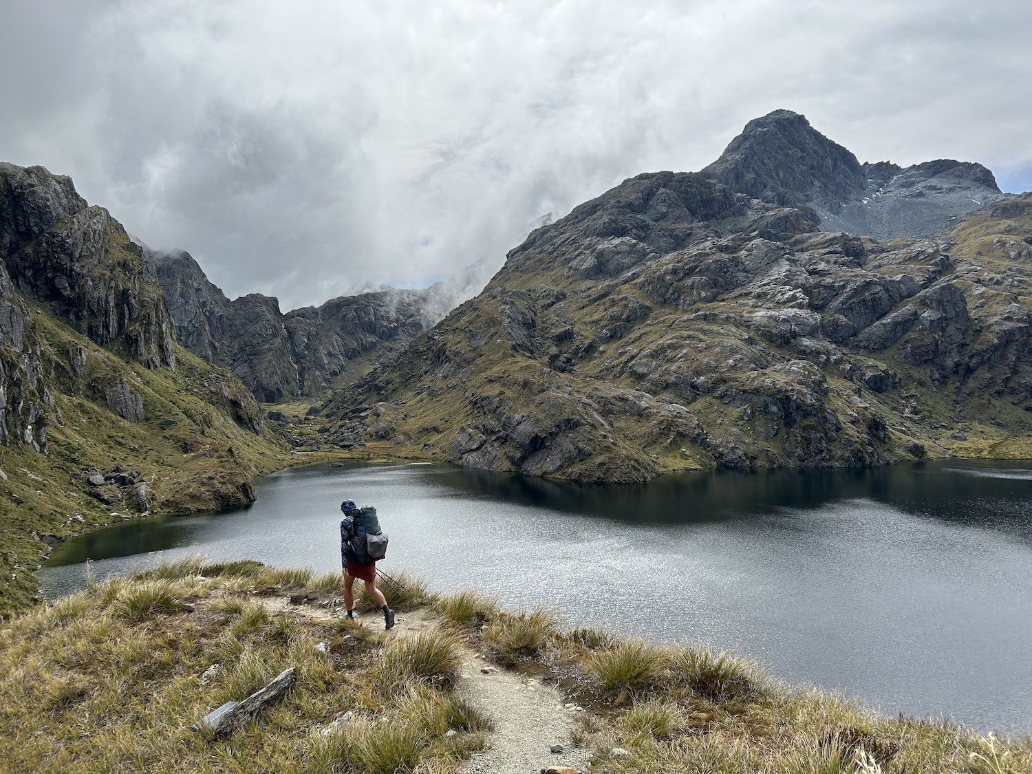
Rotomairewhenua // Blue Lake
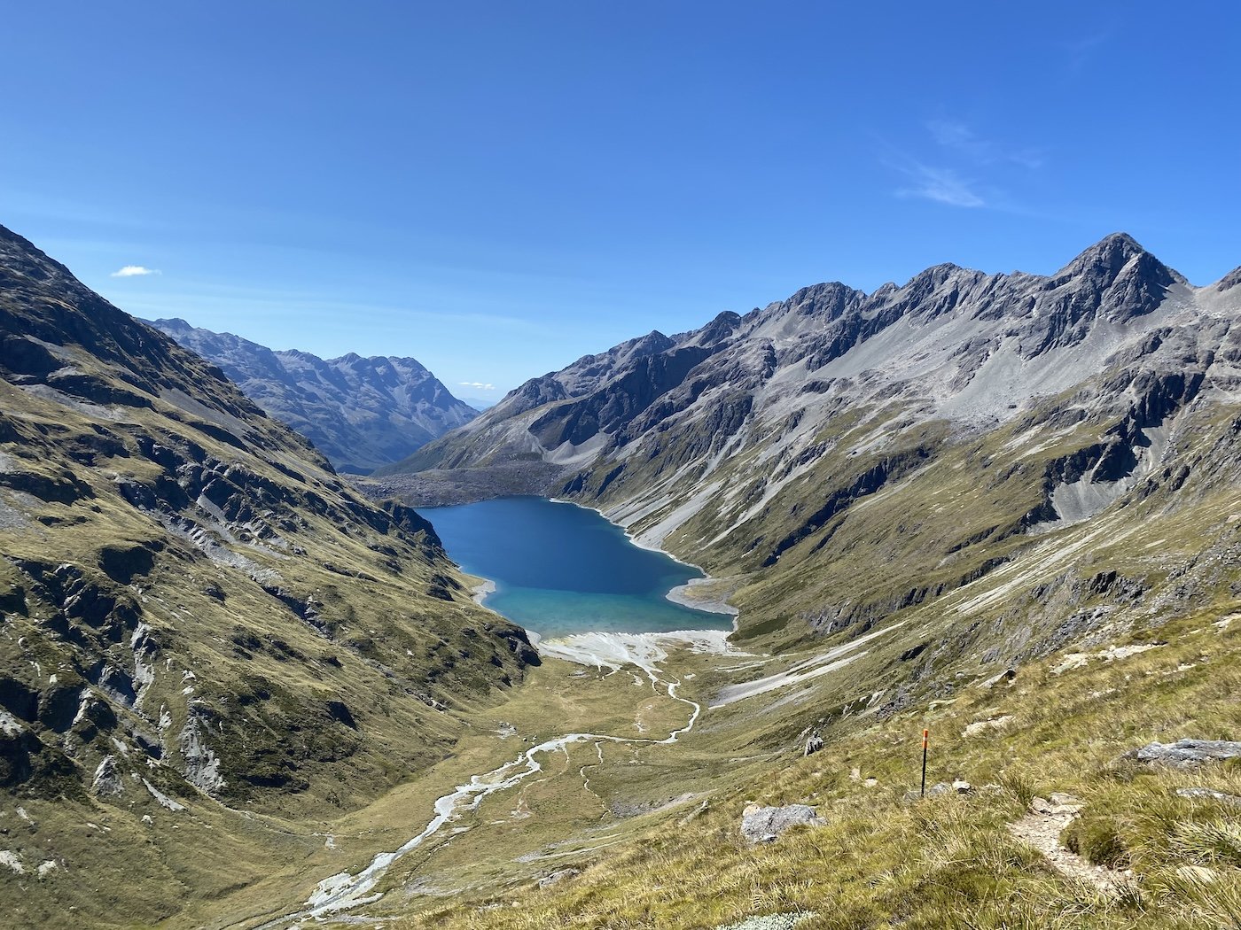
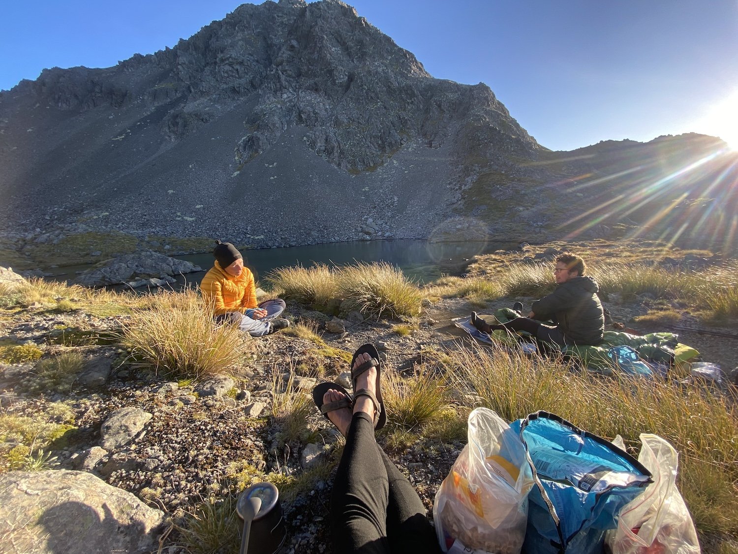
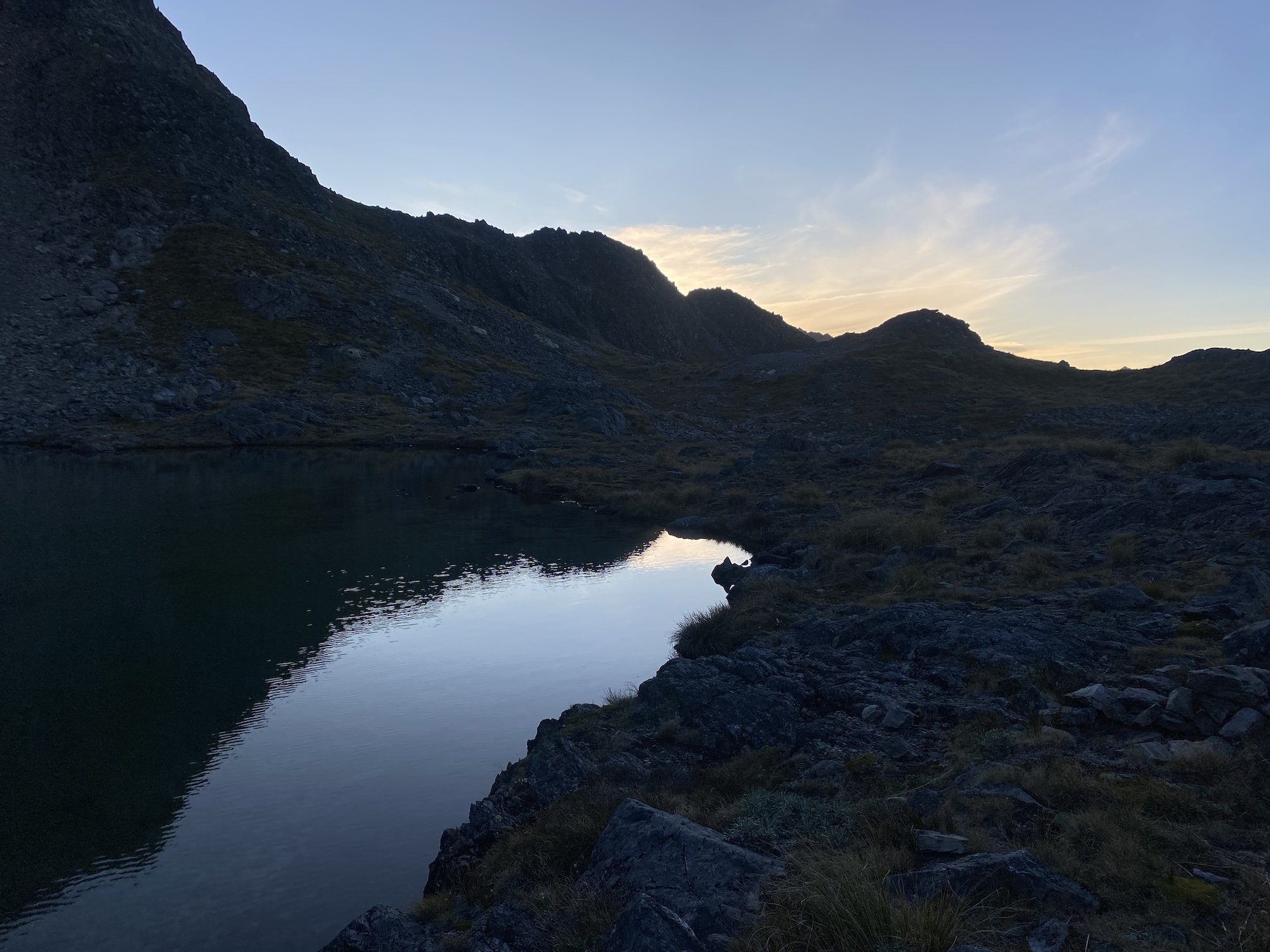
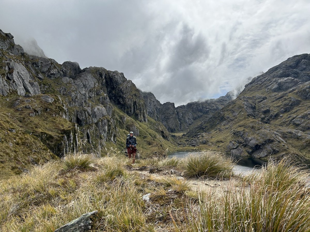
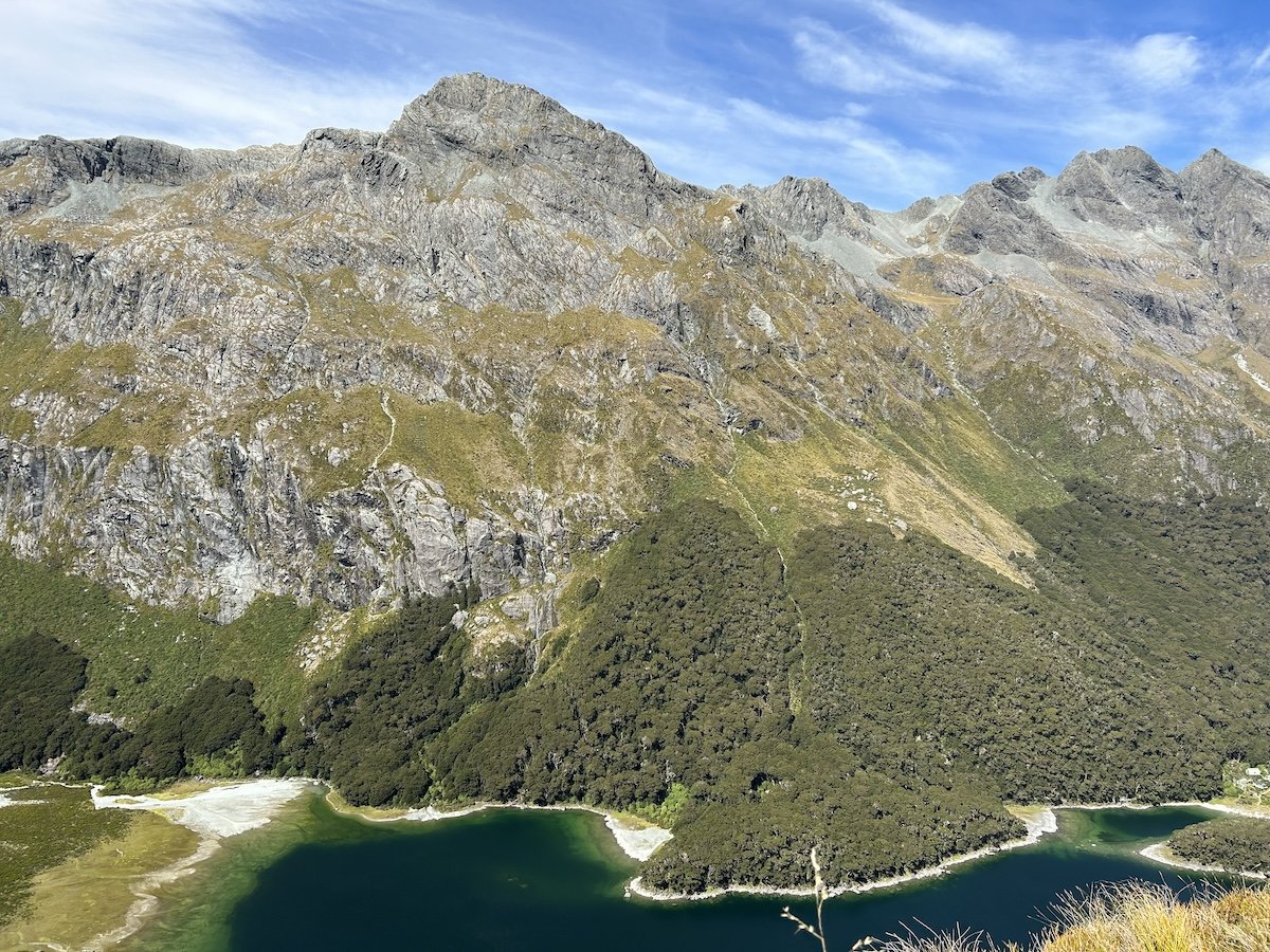
Rotopōhueroa // Lake Constance

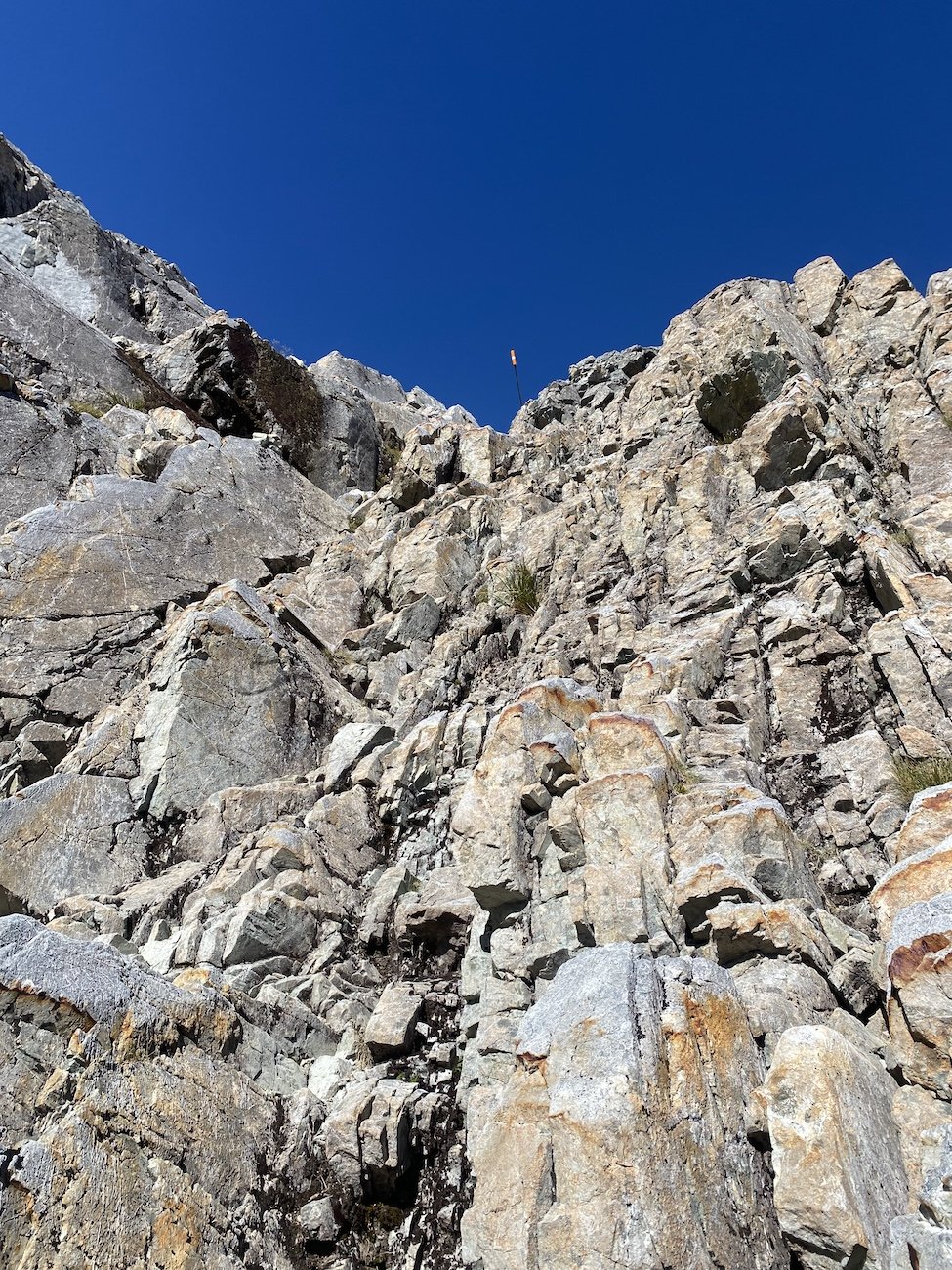
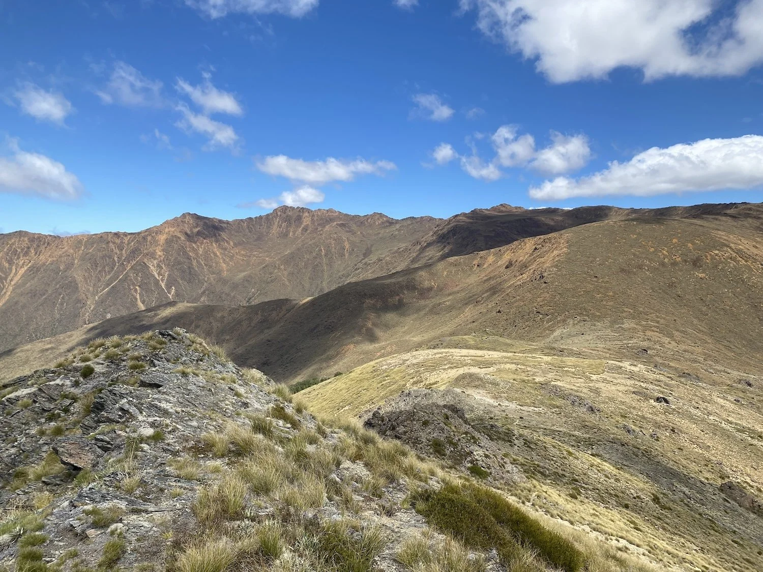
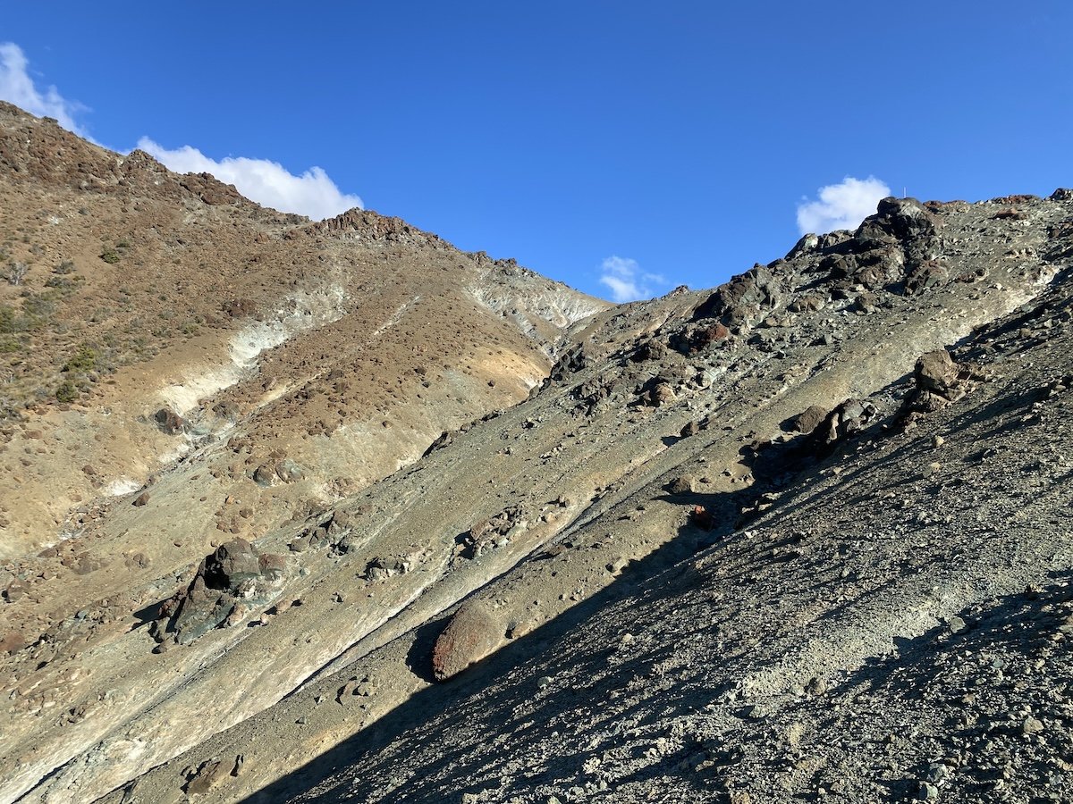
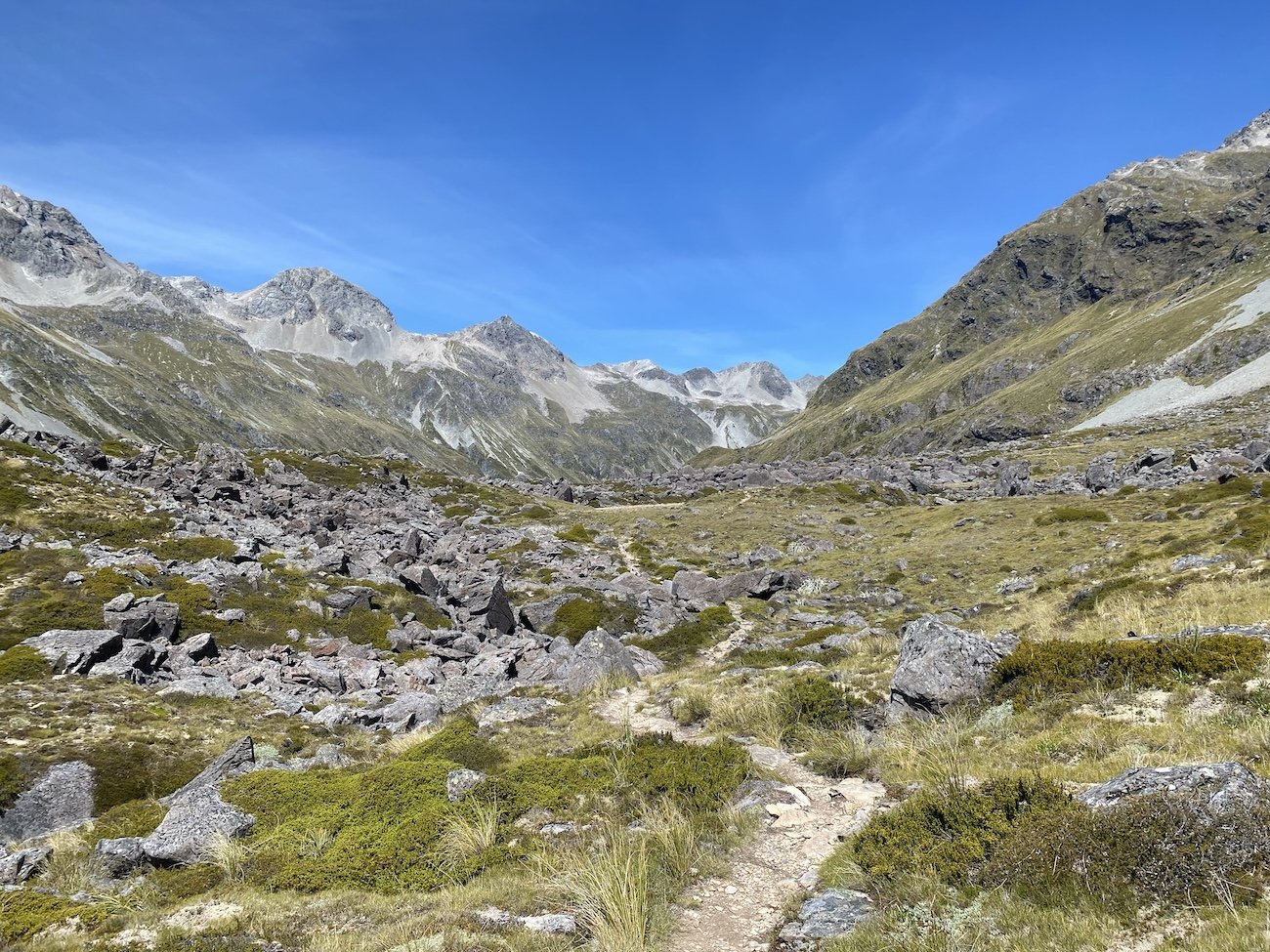
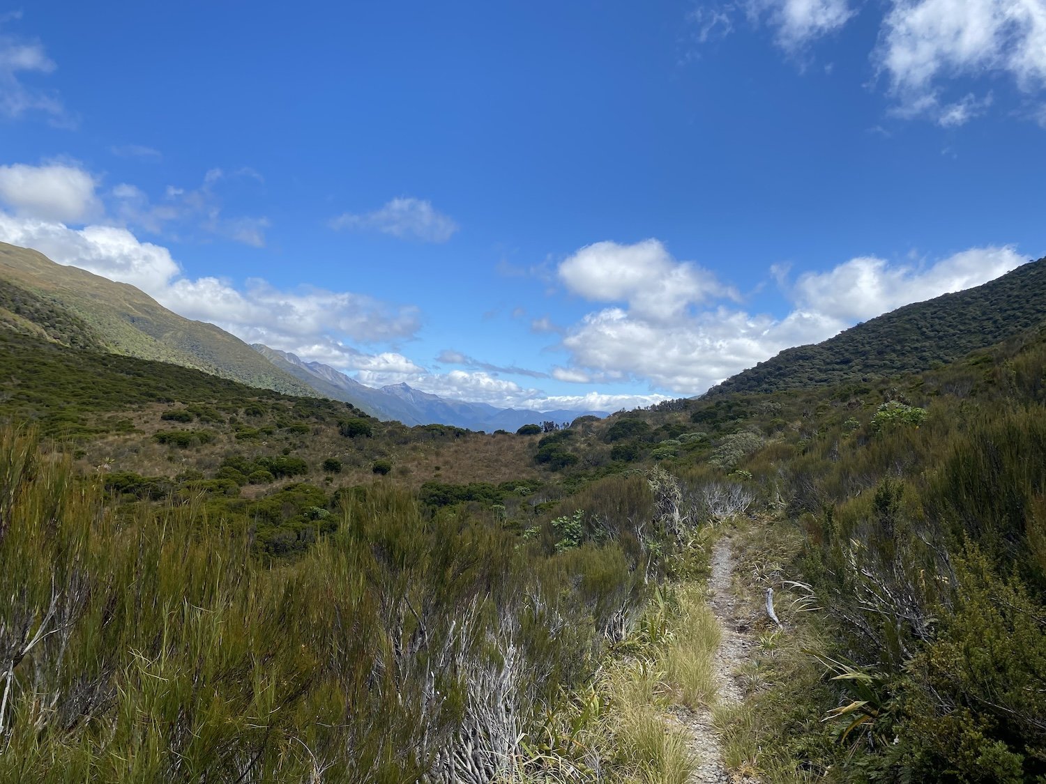
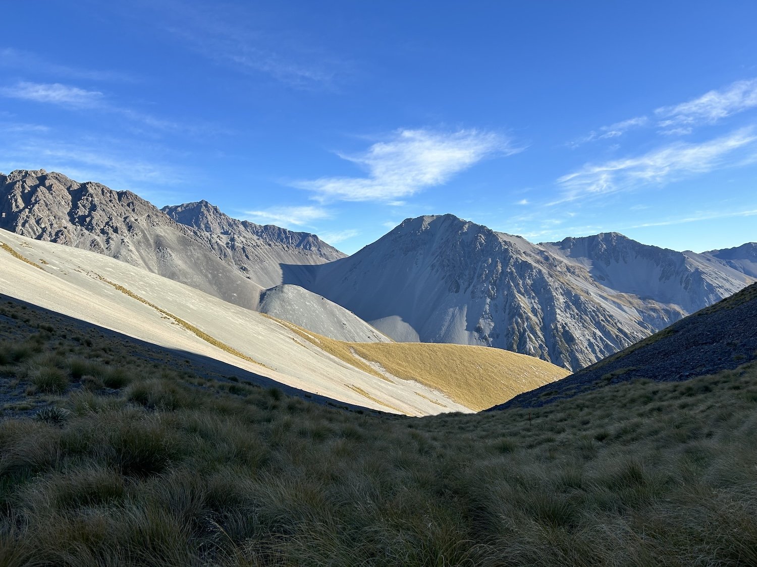
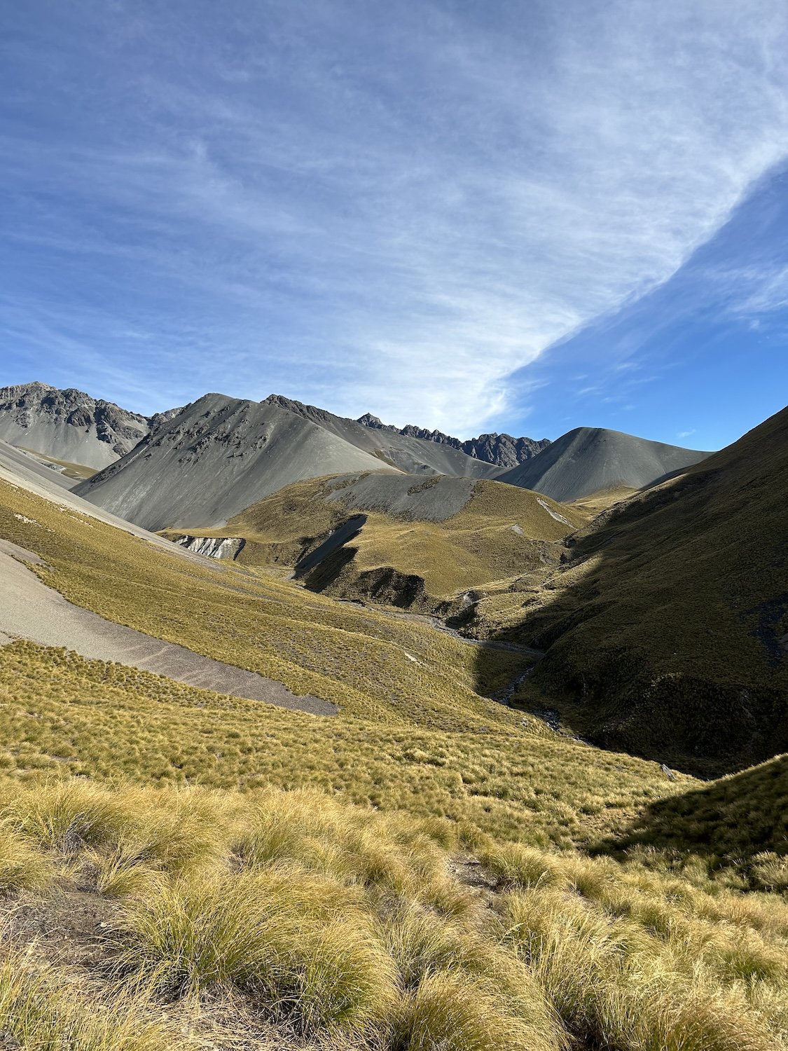
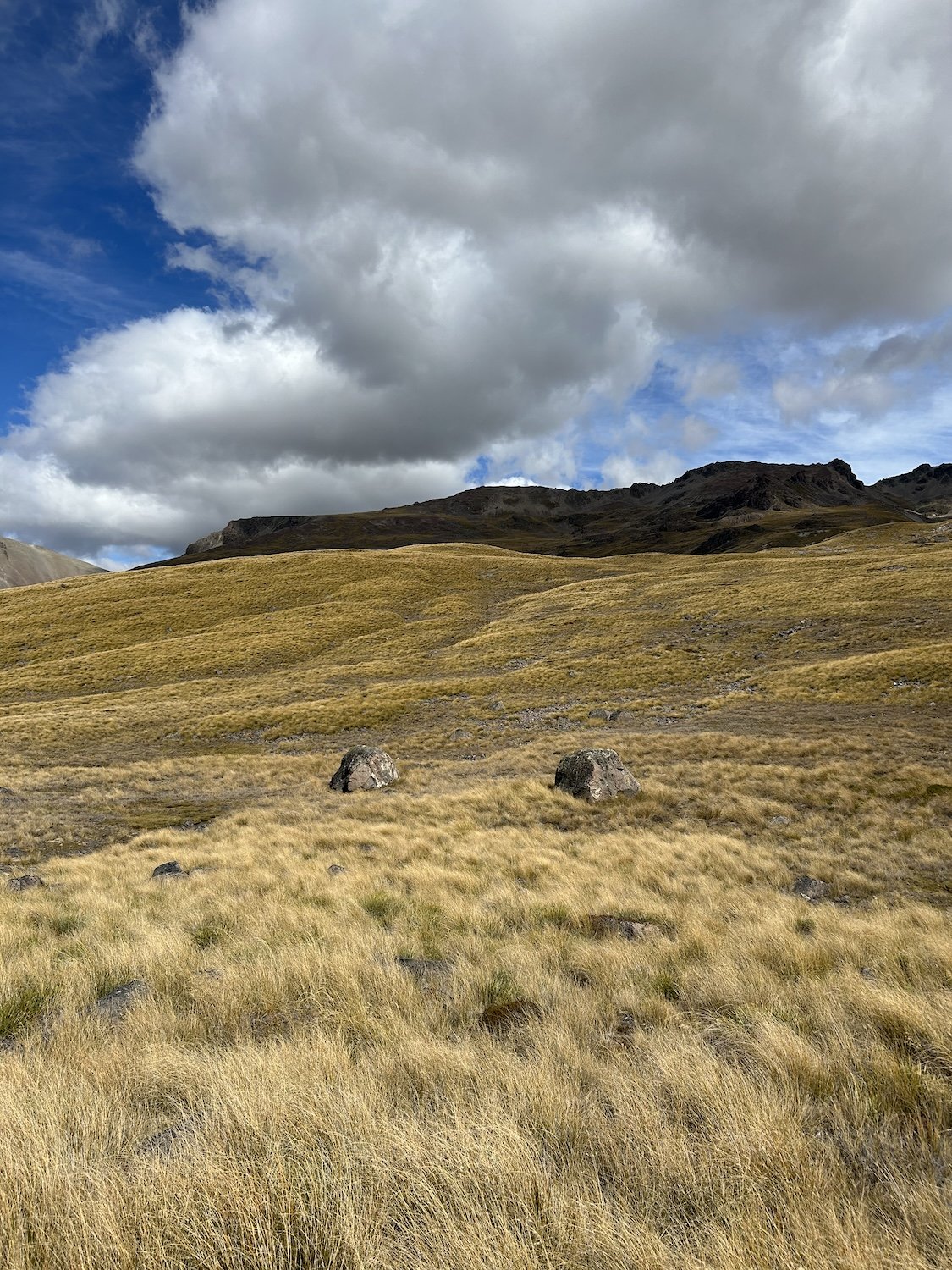
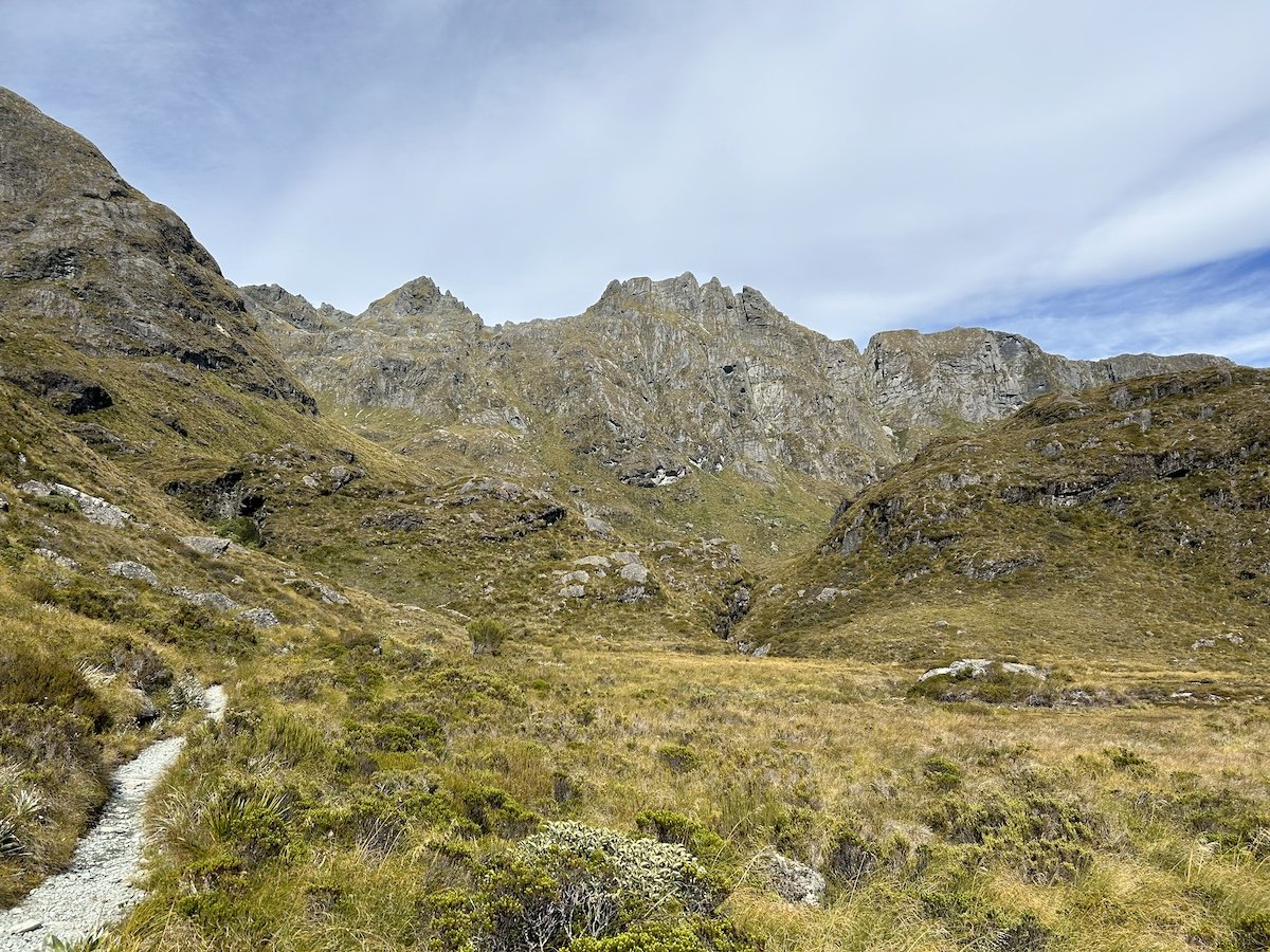
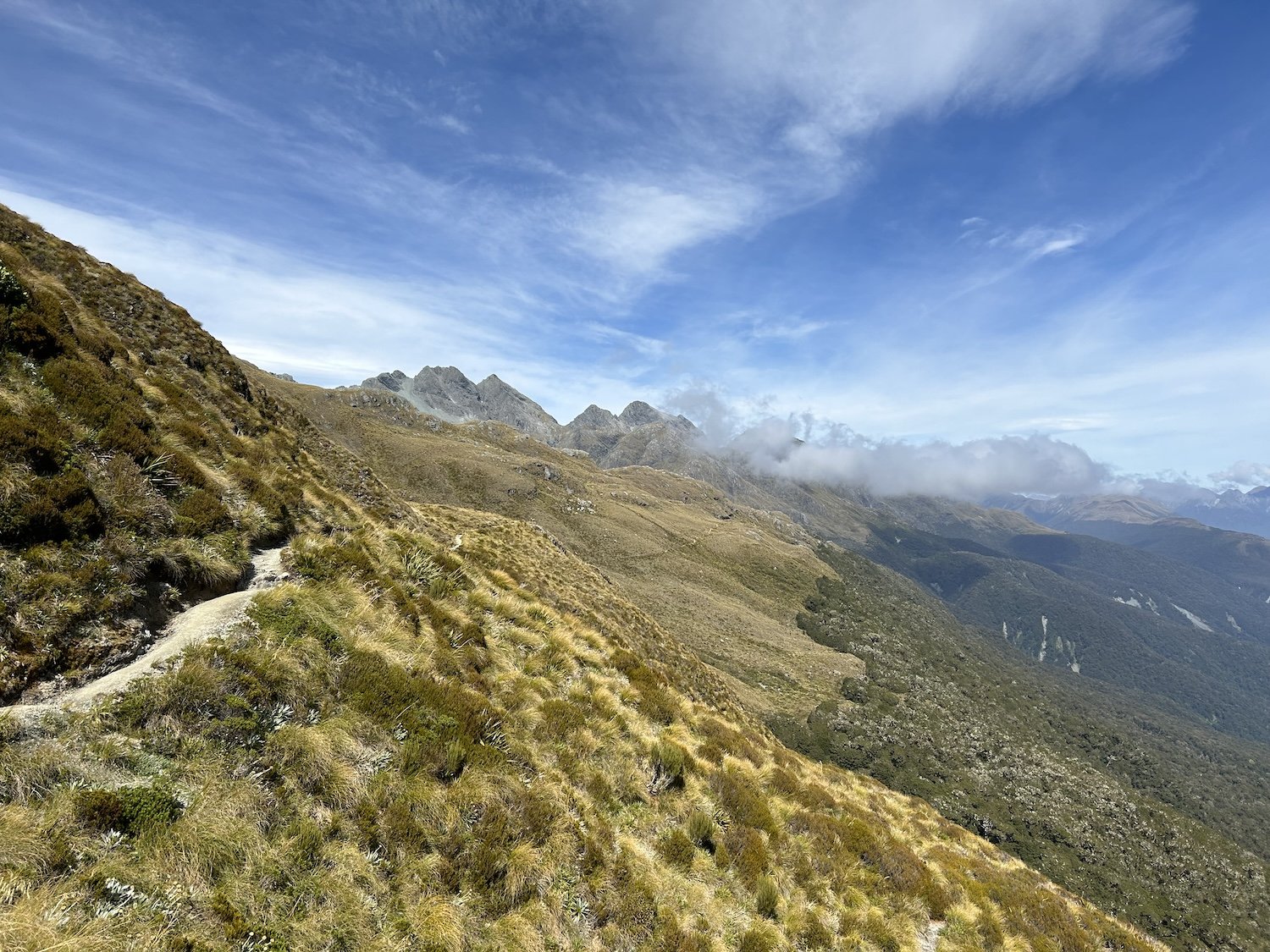
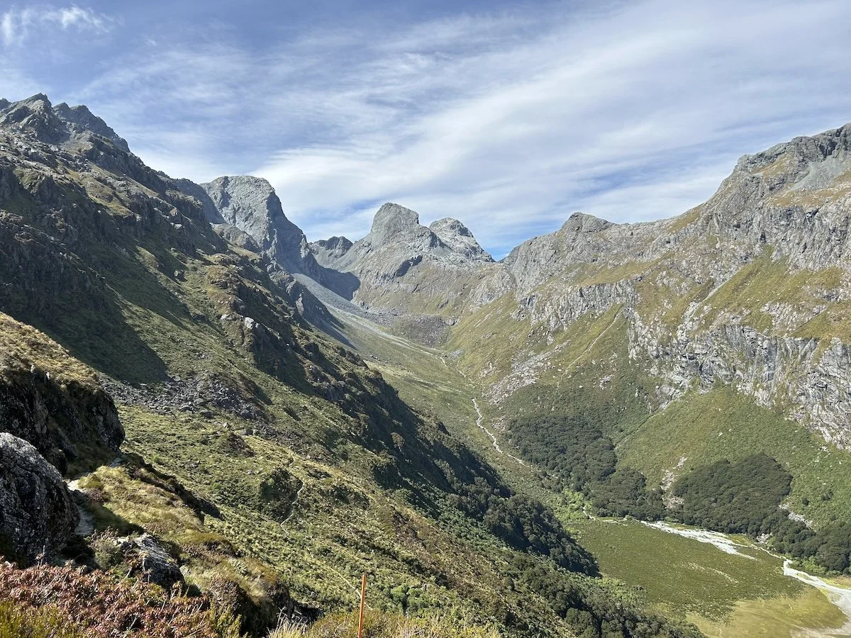
Waiau Pass


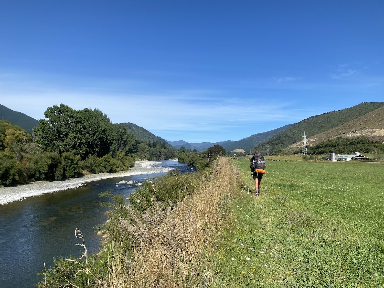
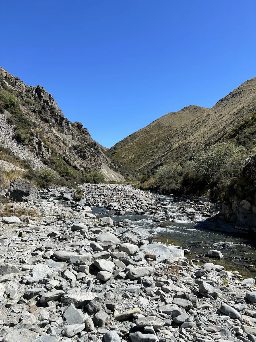
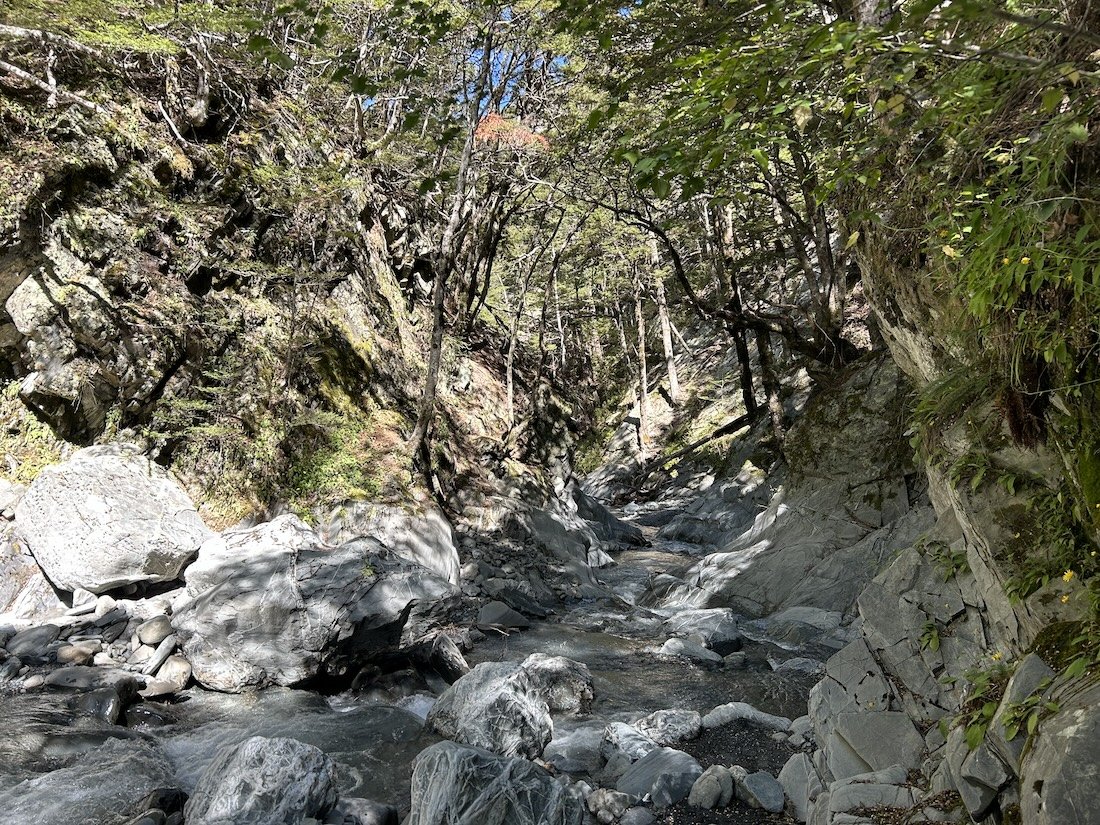
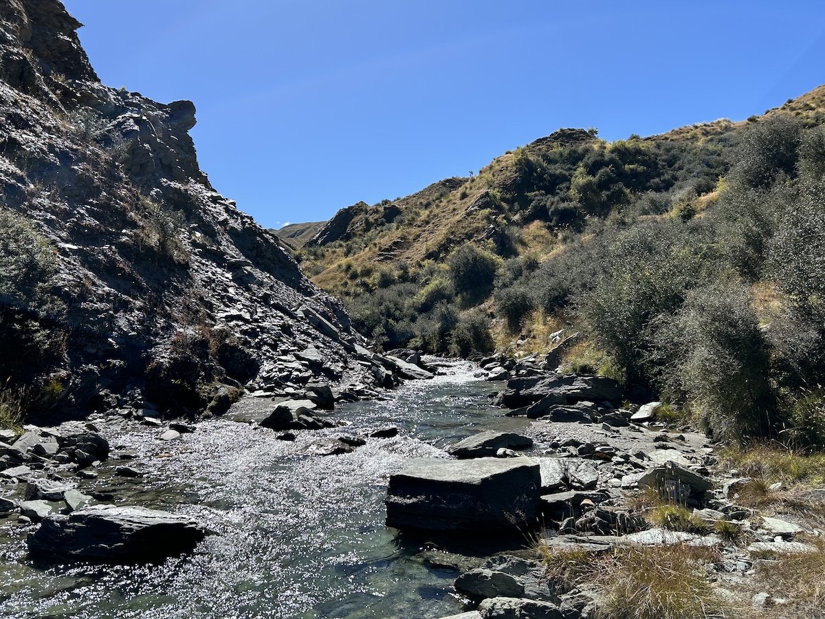
Taramakau River

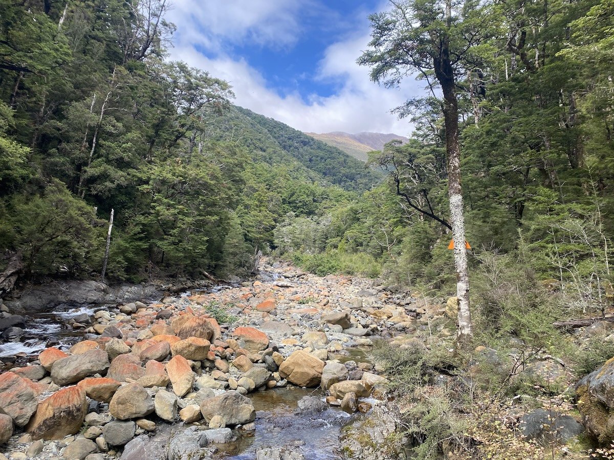
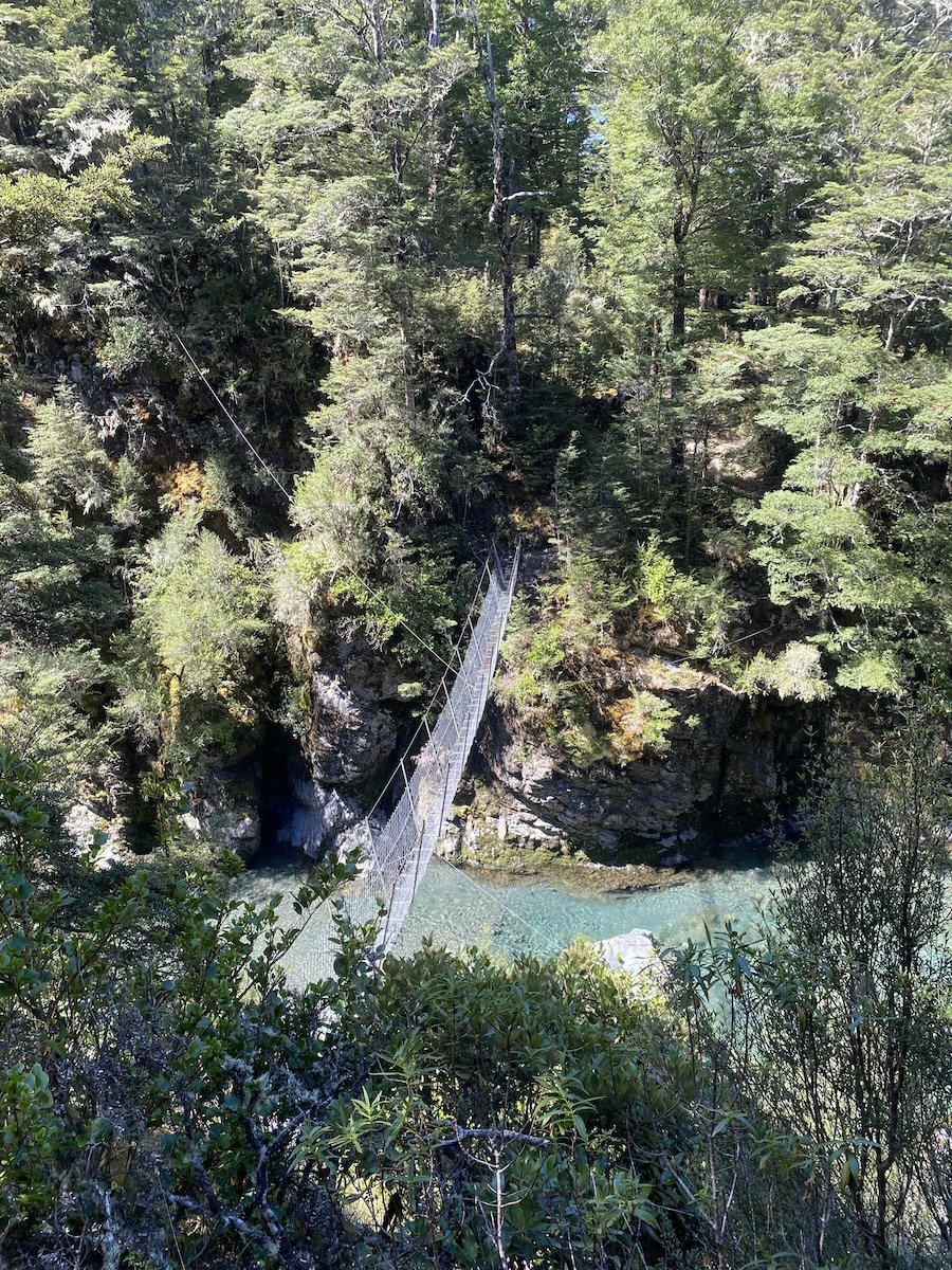
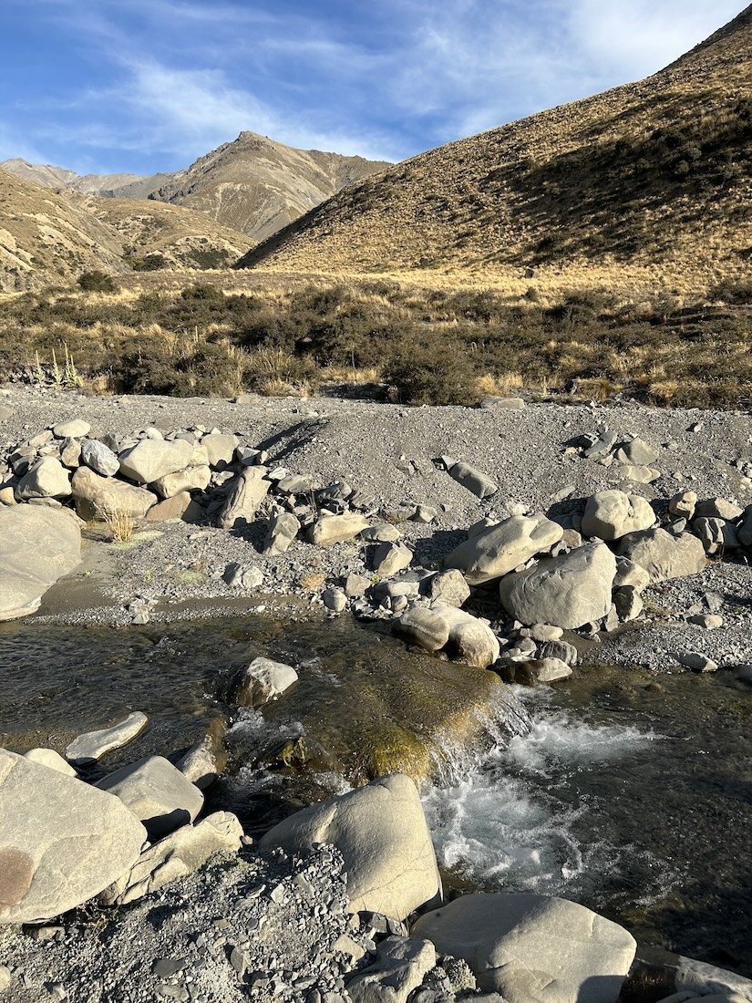
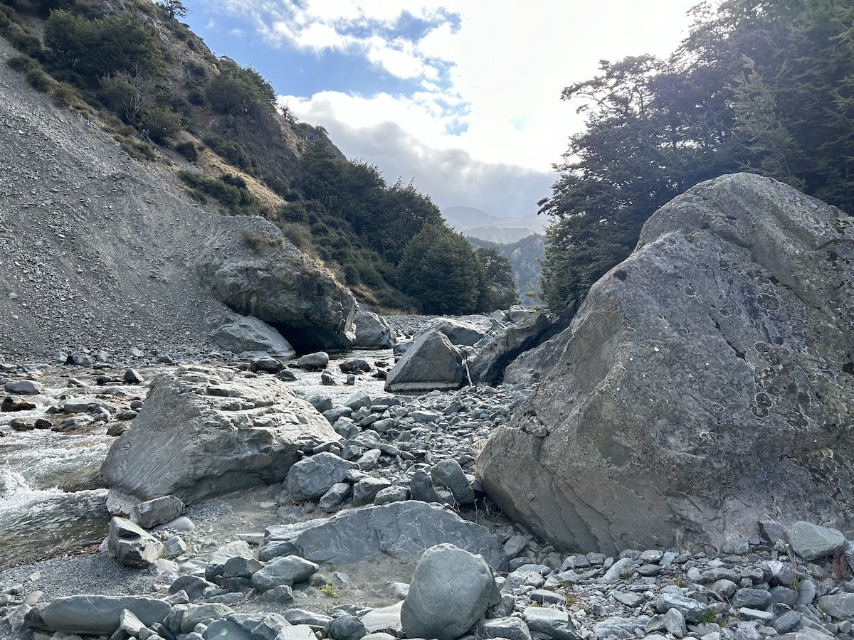
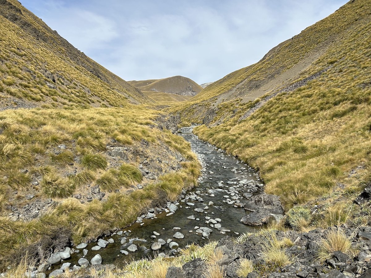
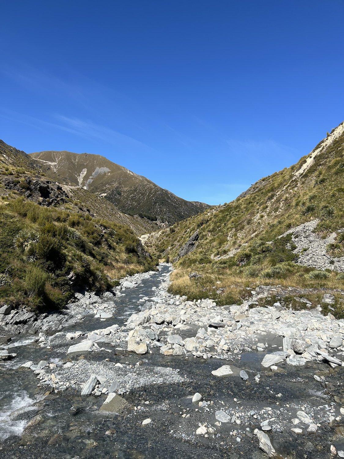
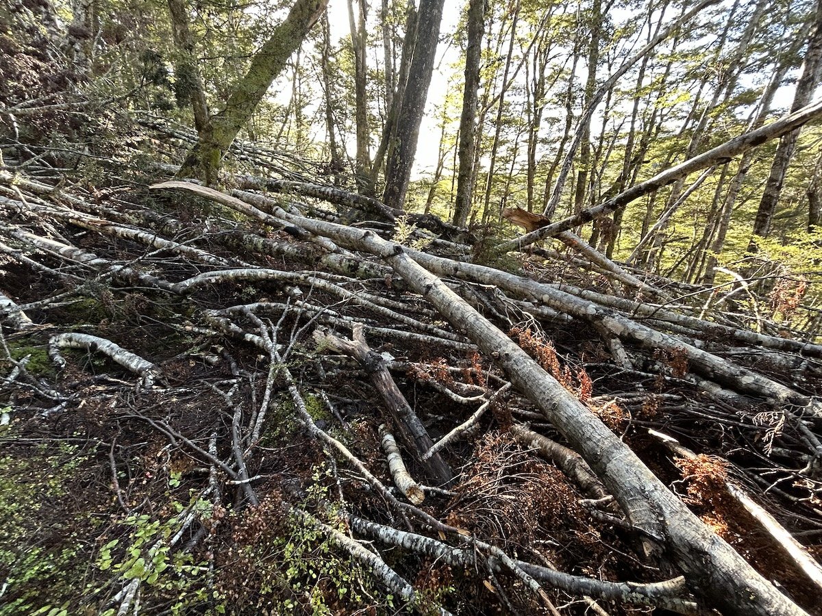
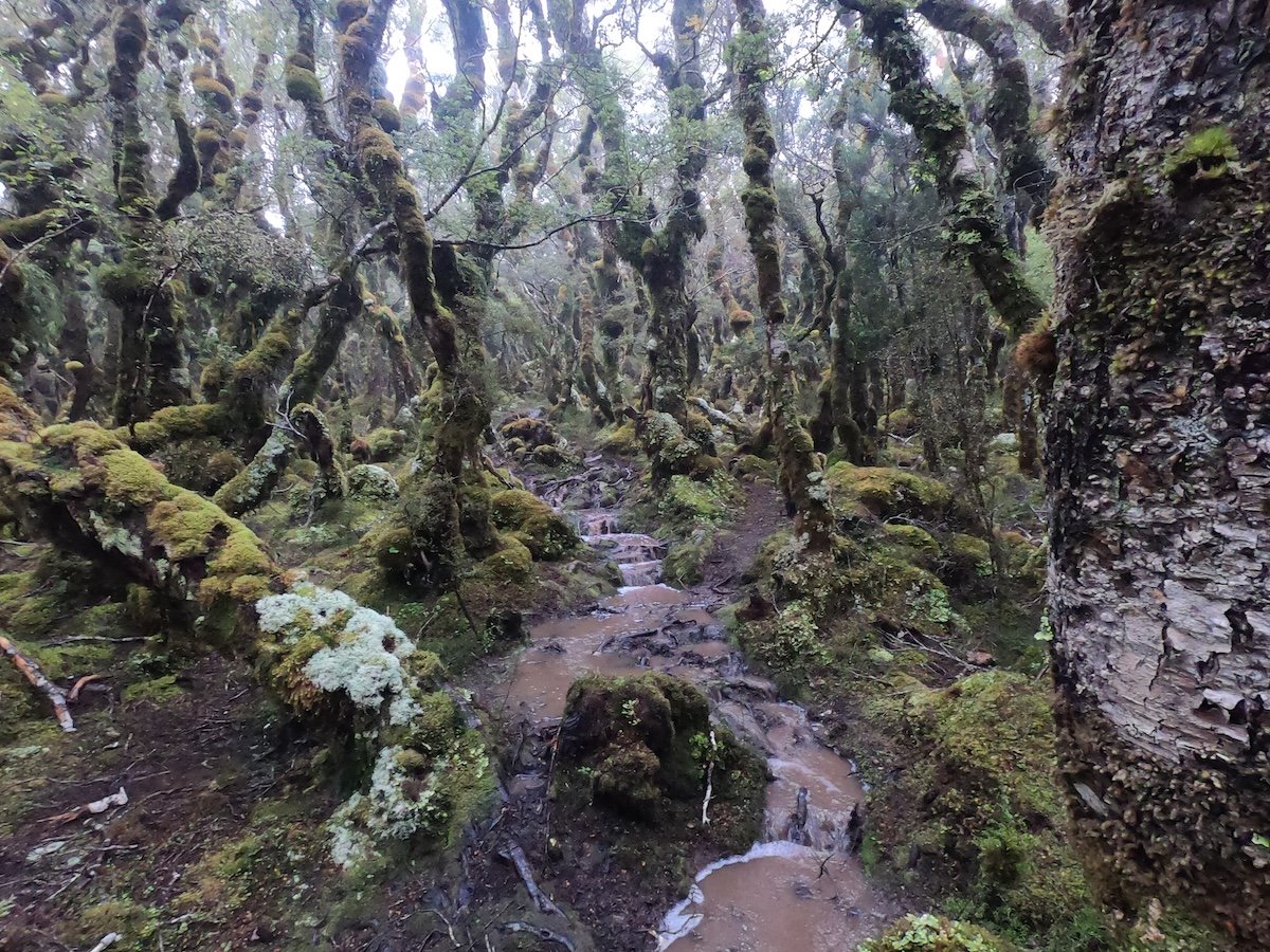
Lower Deception River
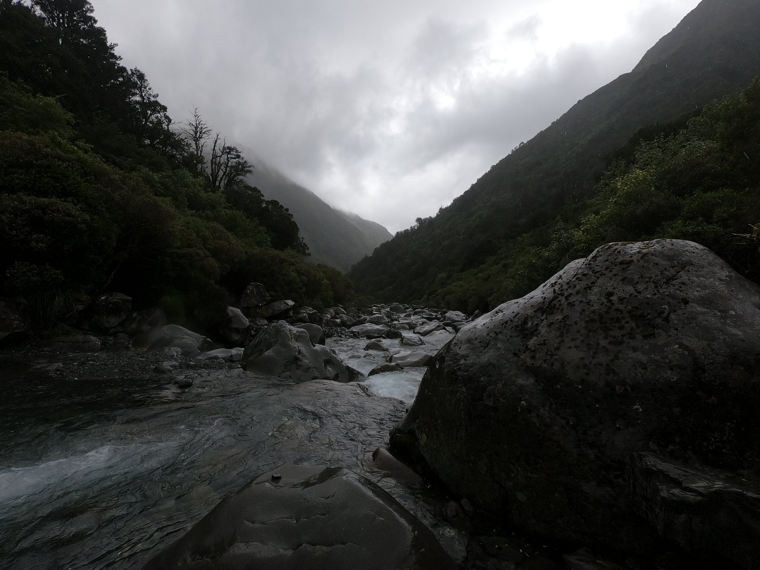

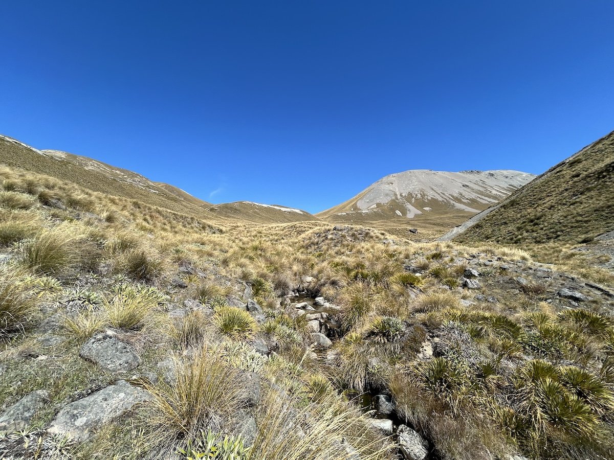
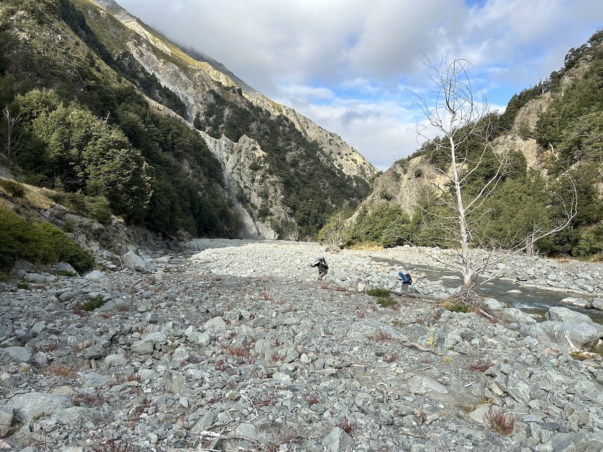
Upper Deception River


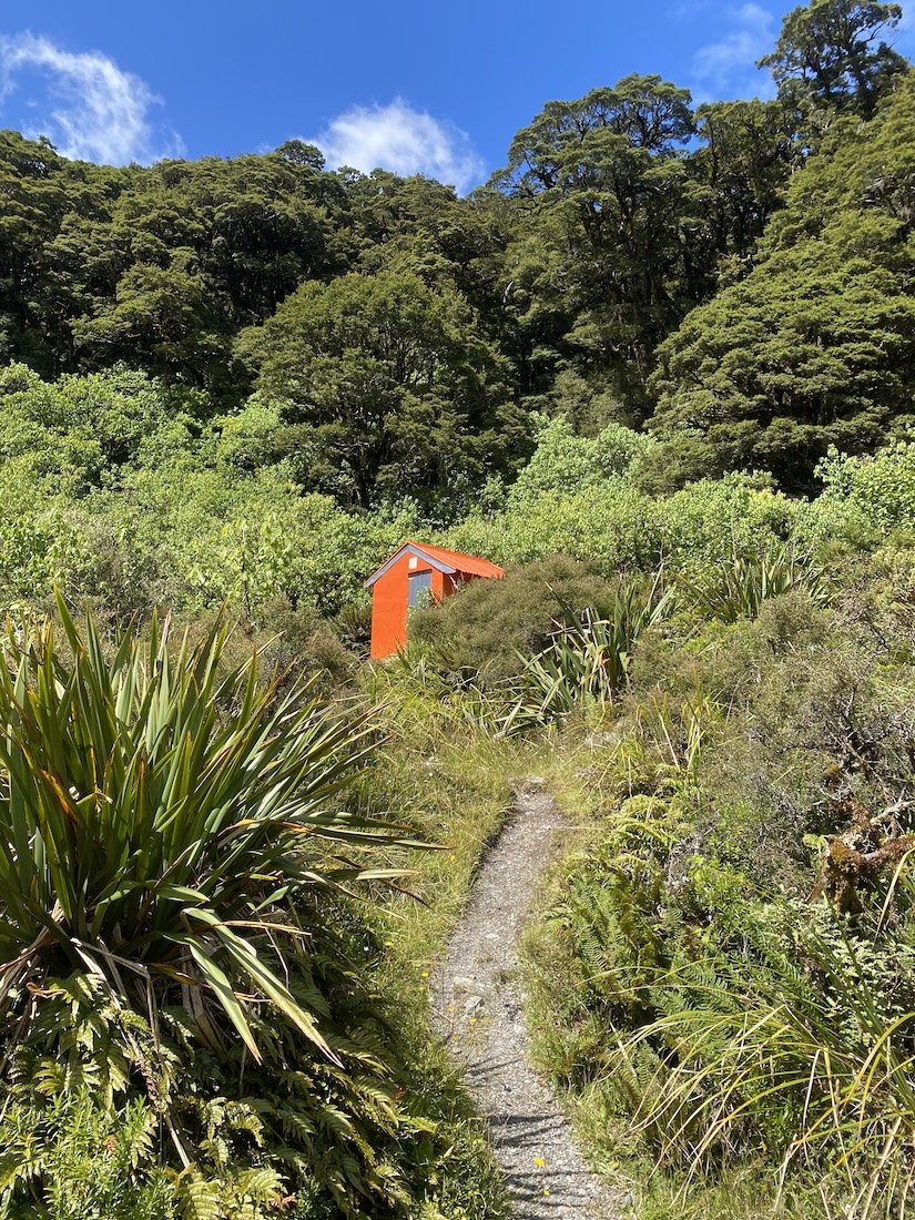
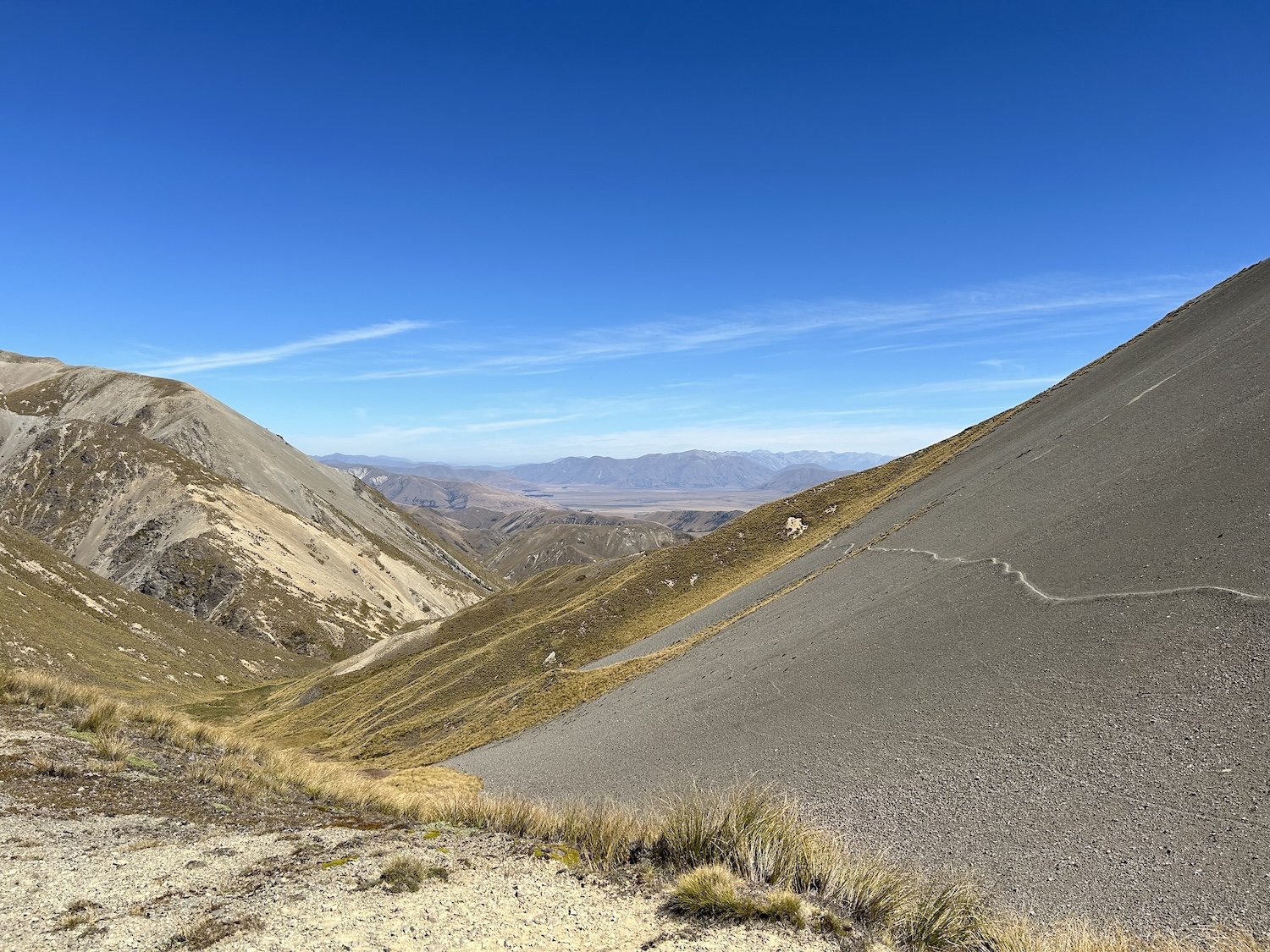
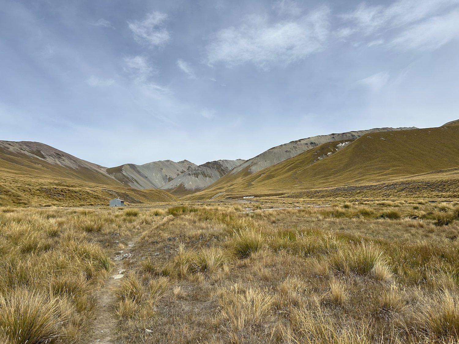
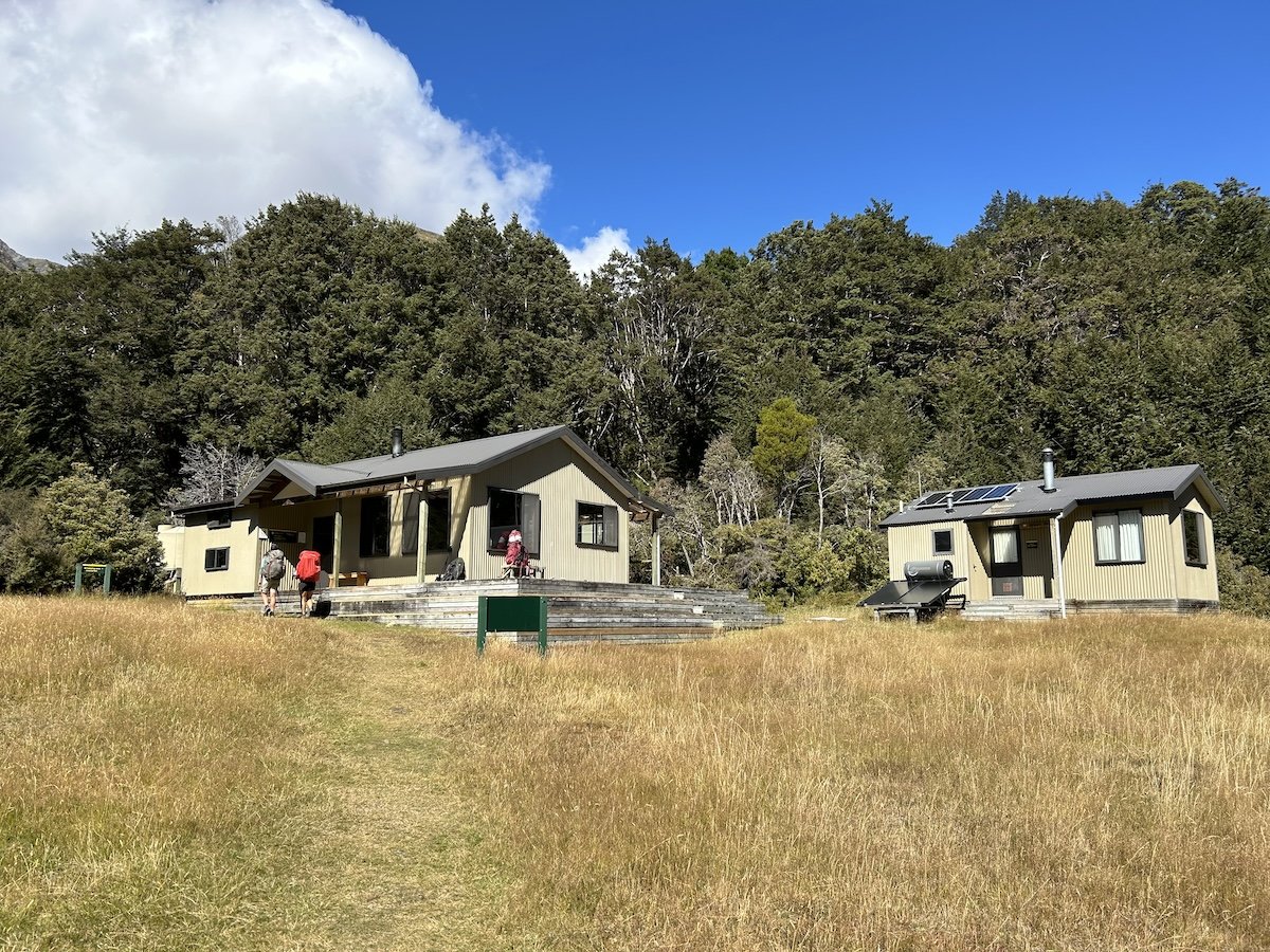
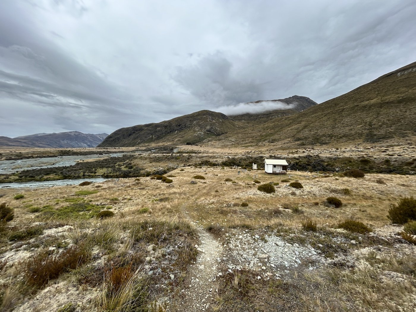
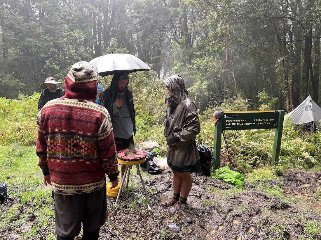
Goat Pass Hut

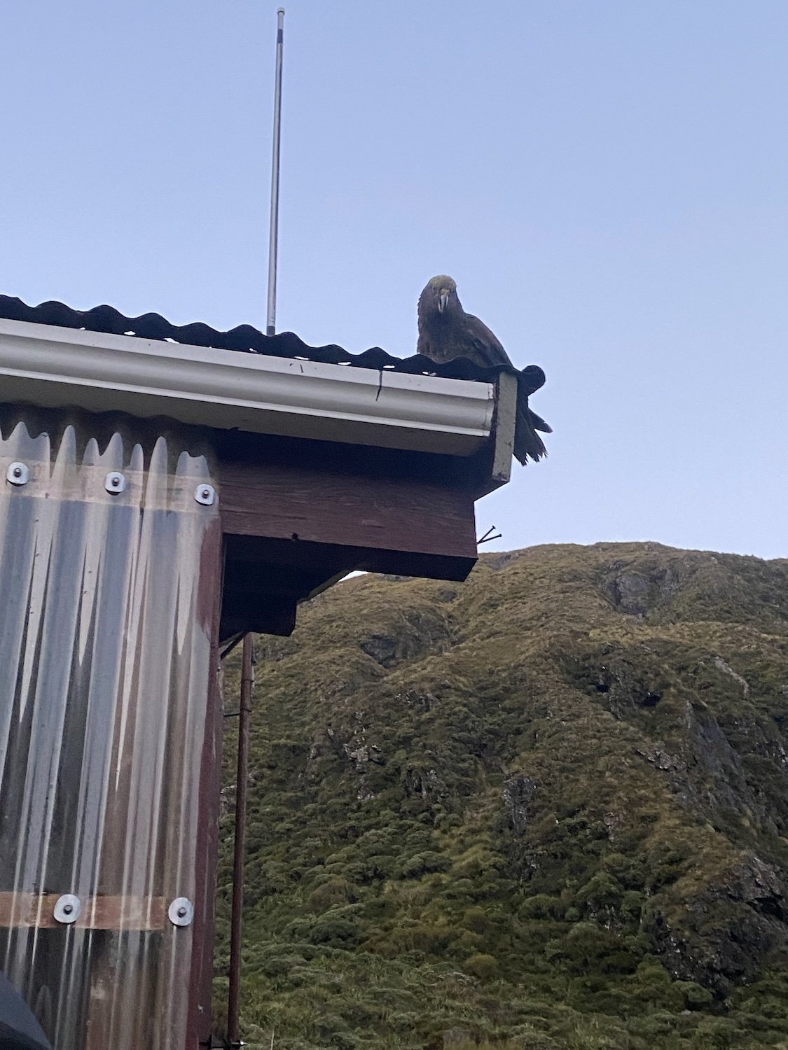
Kea (alpine parrot)


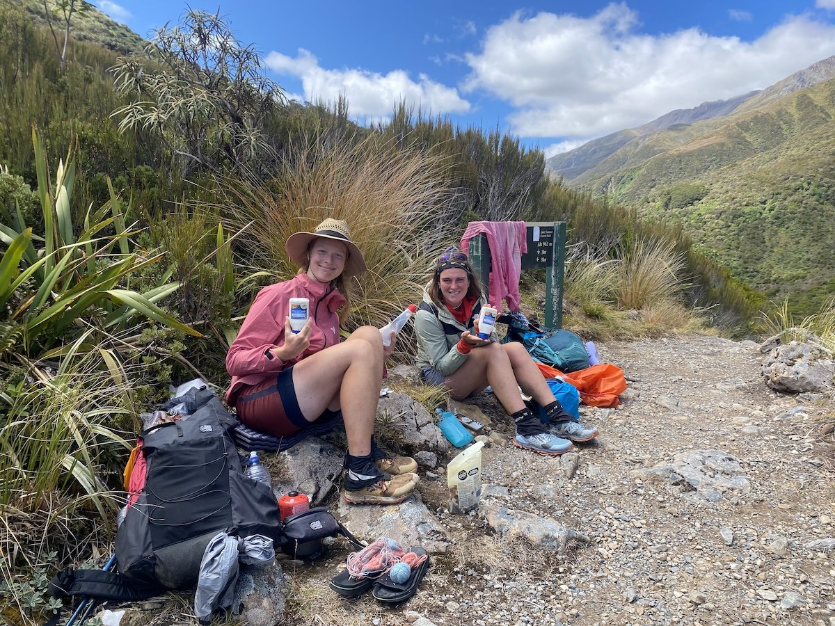
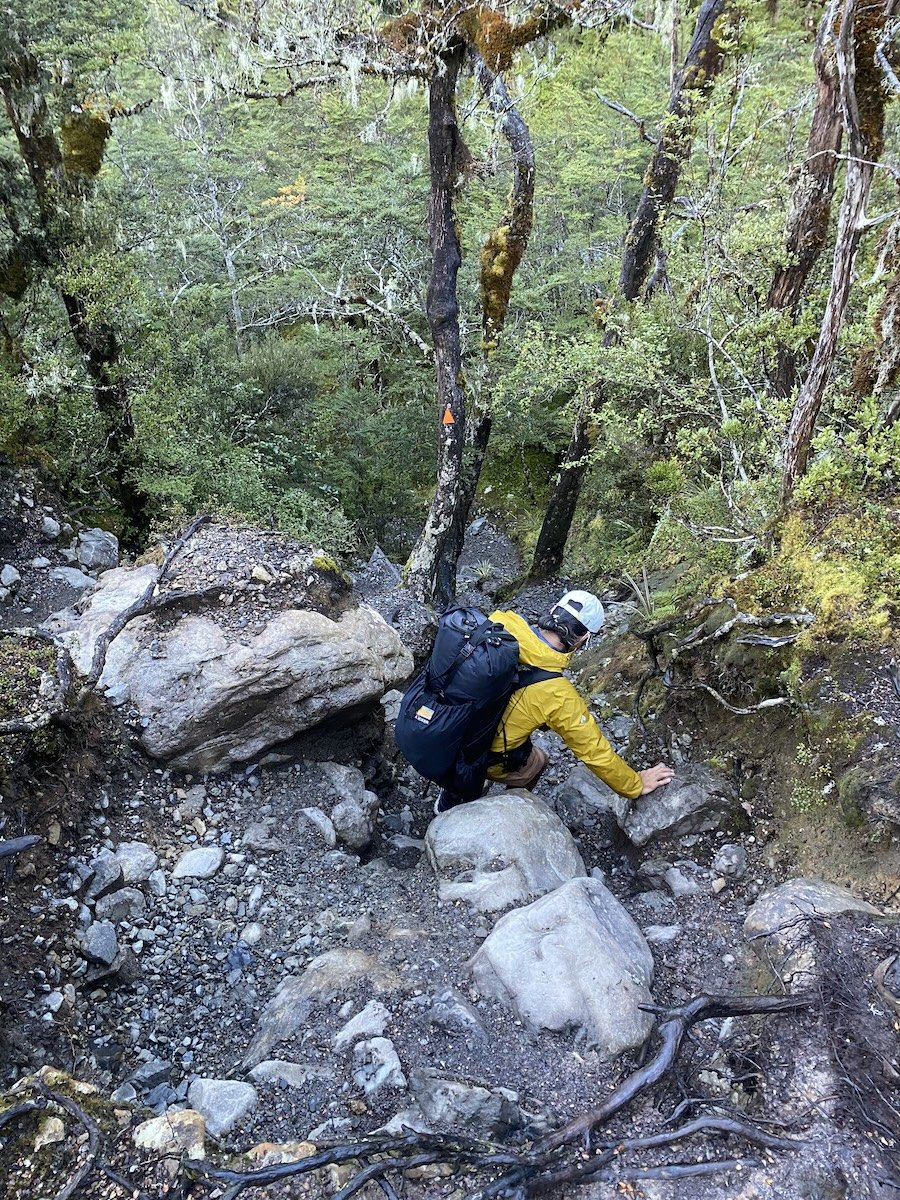
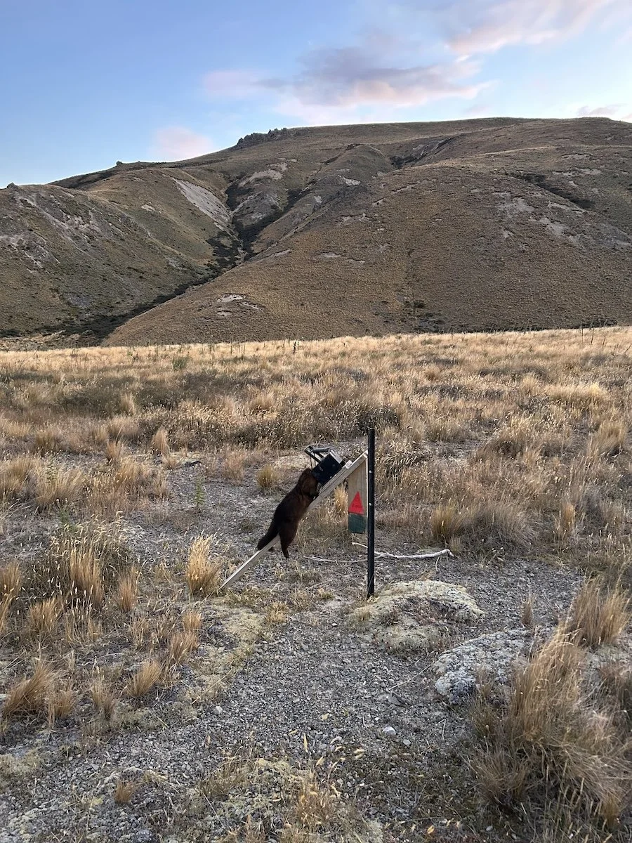
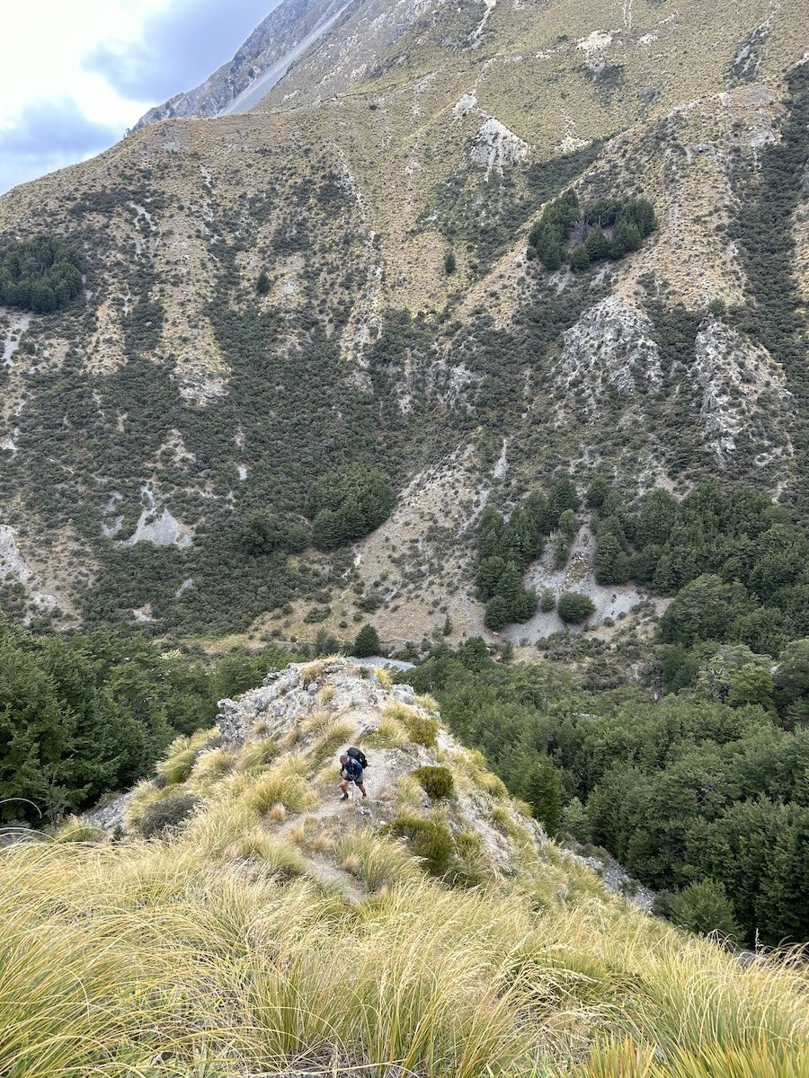
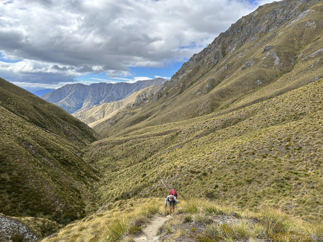
Taki descending from Goat Pass
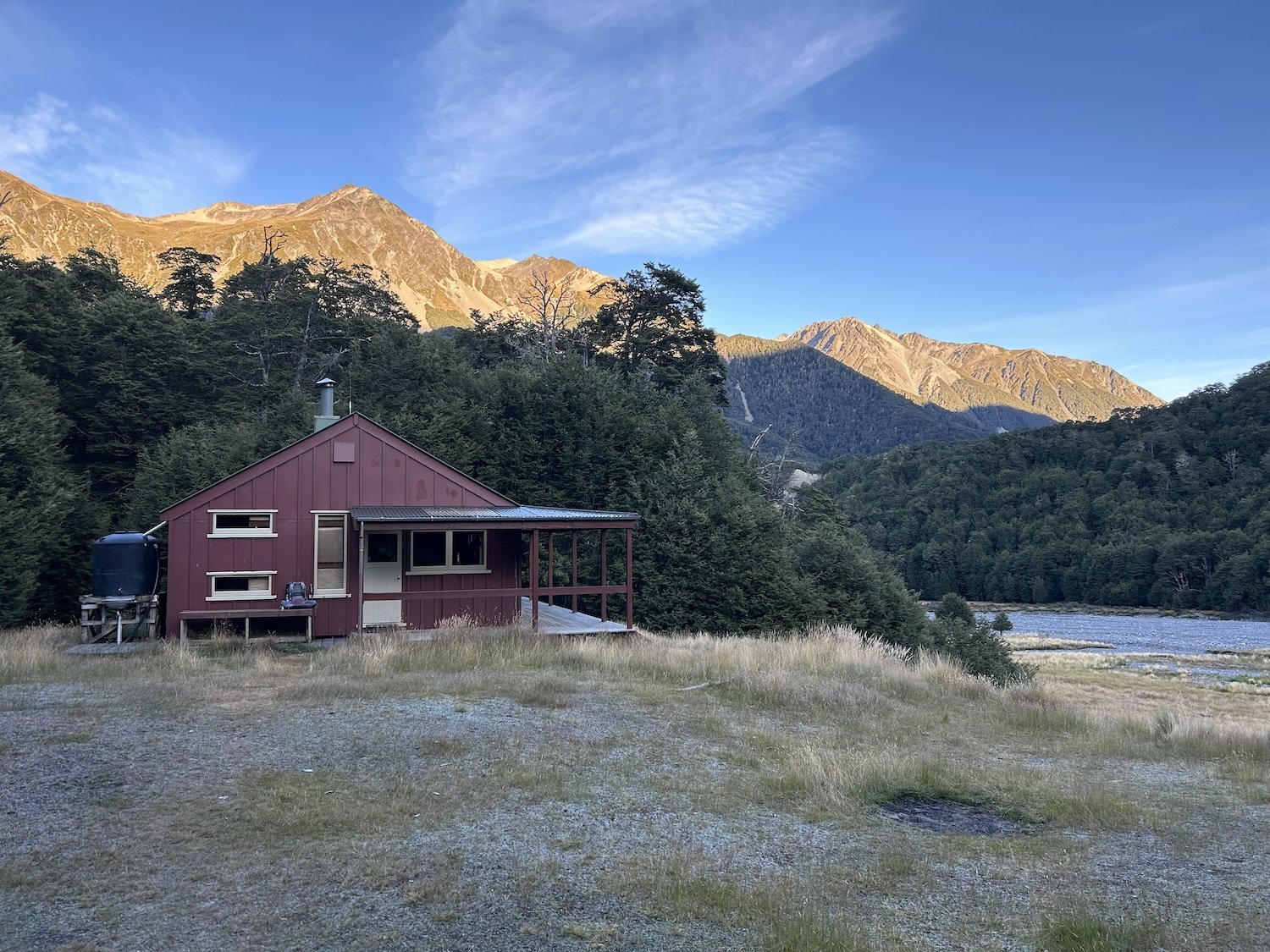
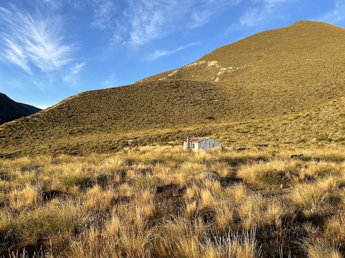
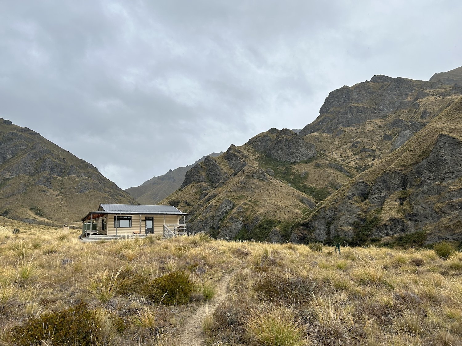
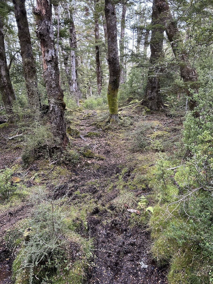
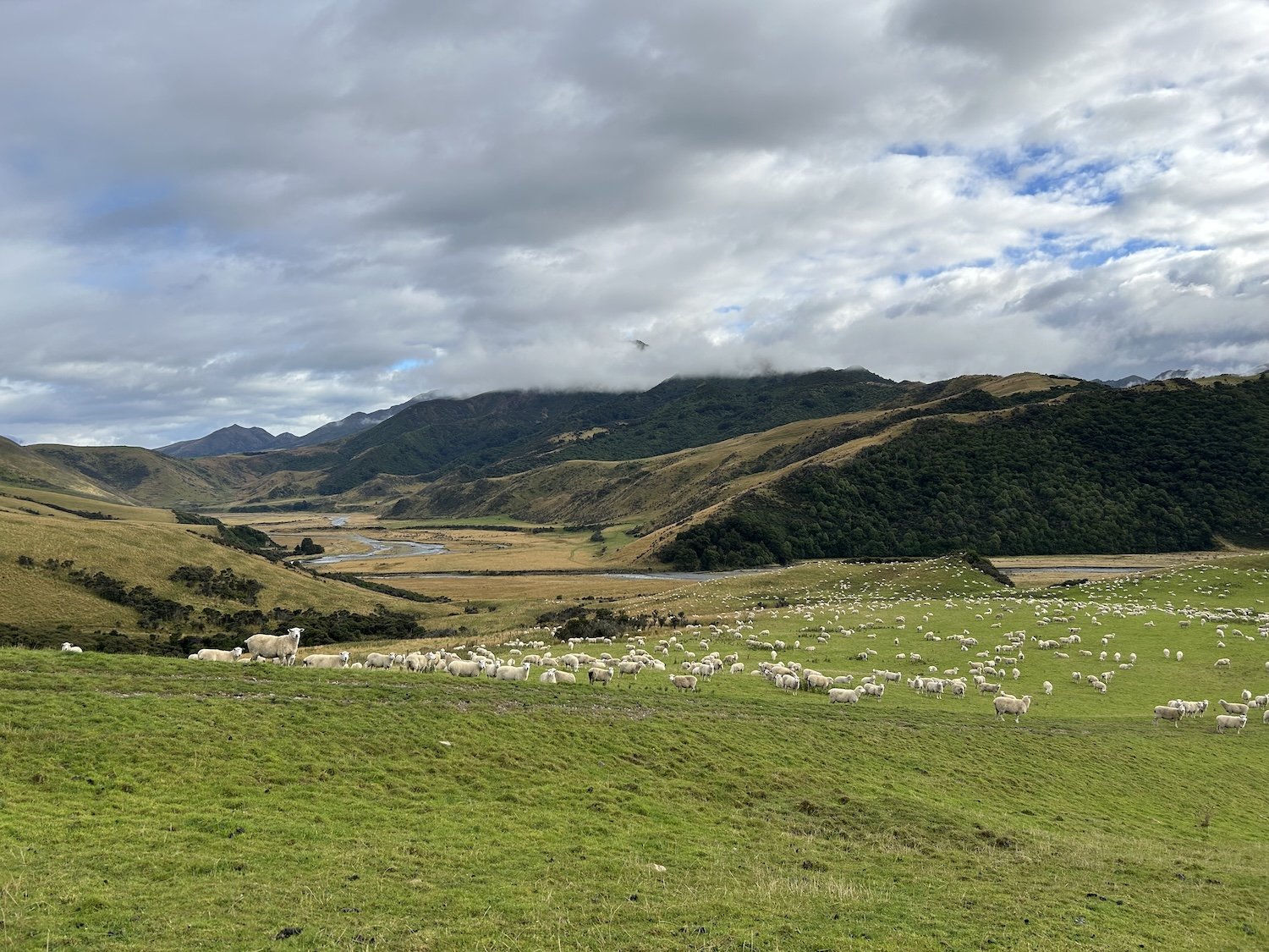
Hamilton Hut
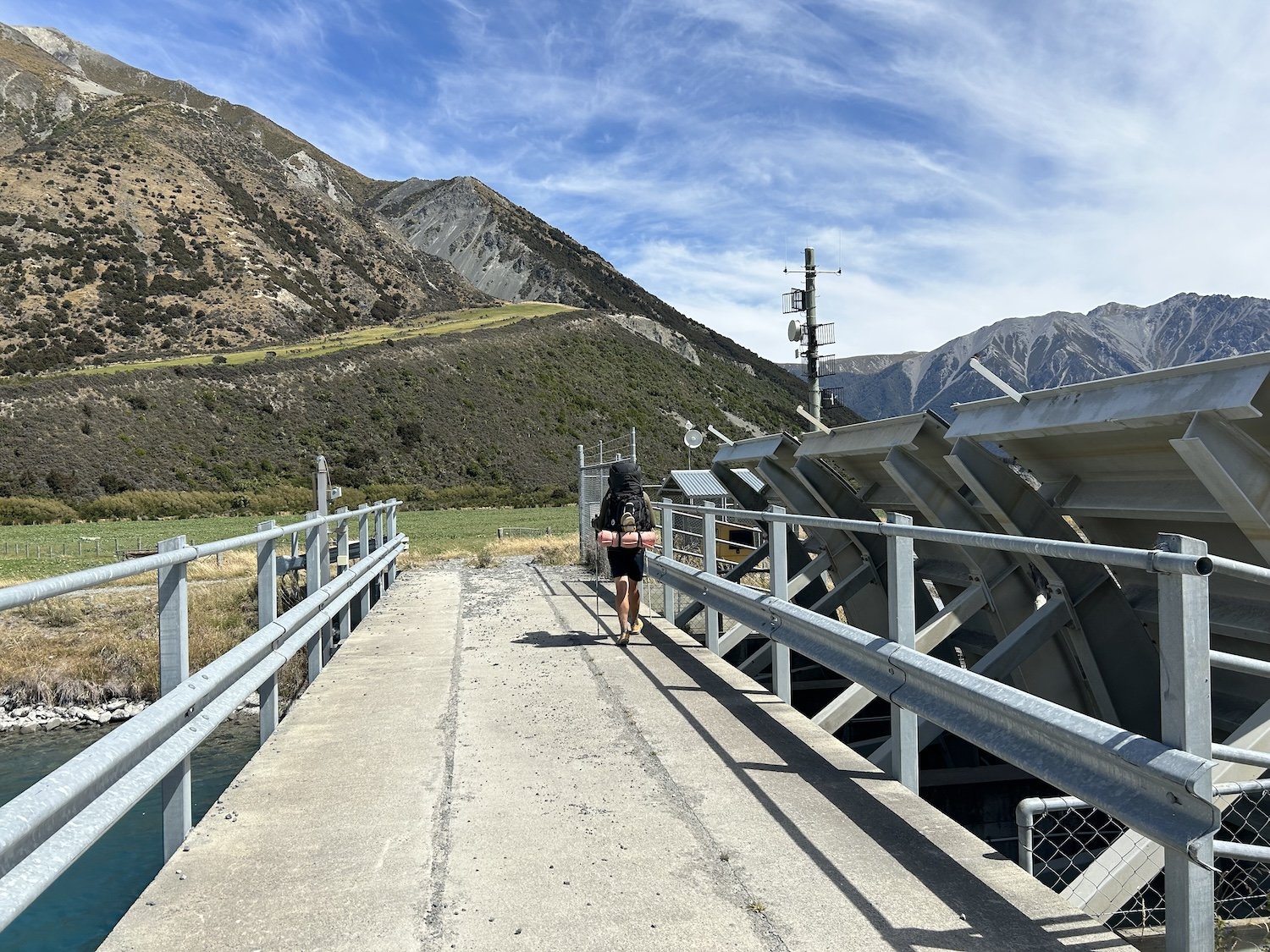

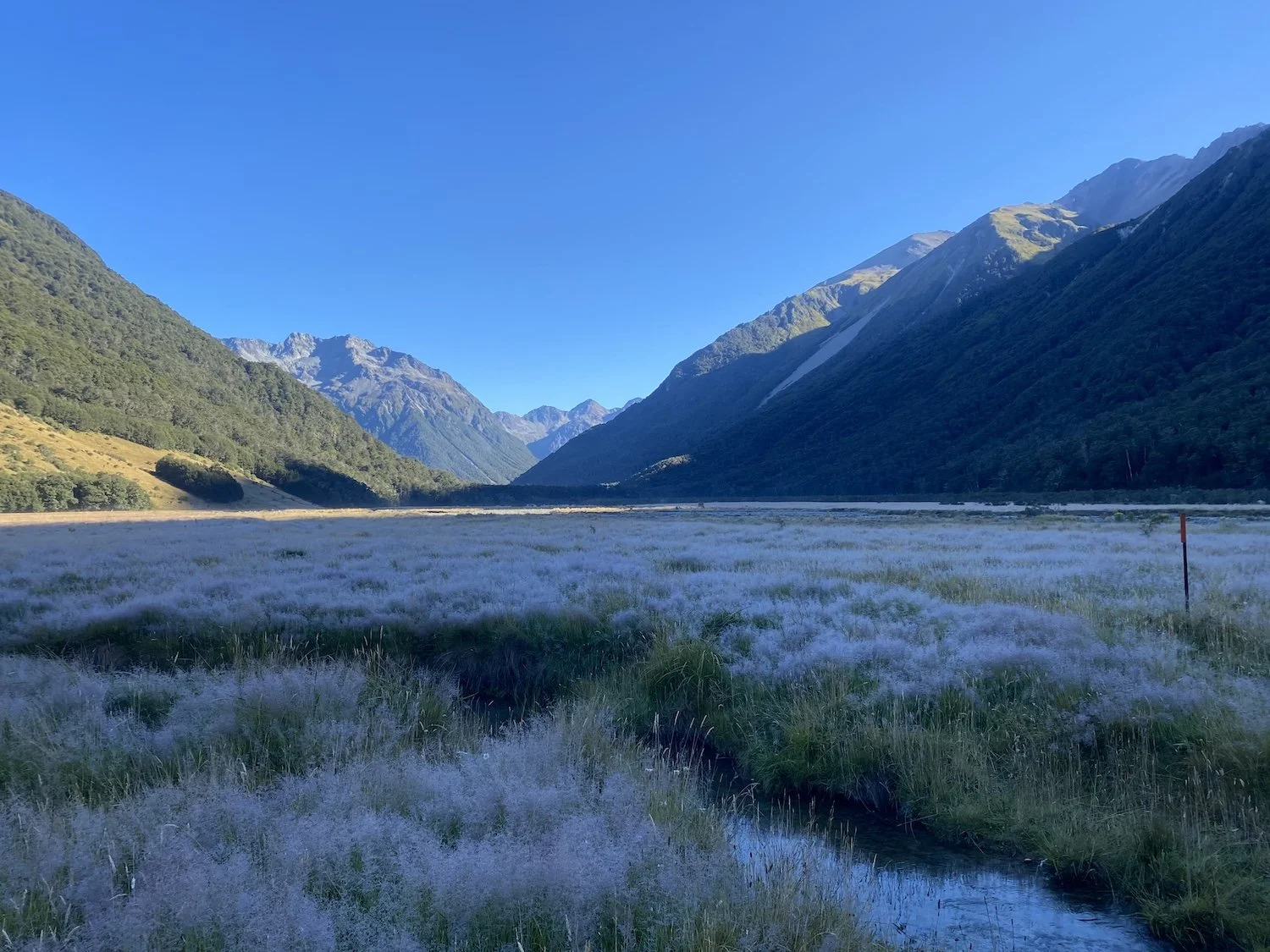
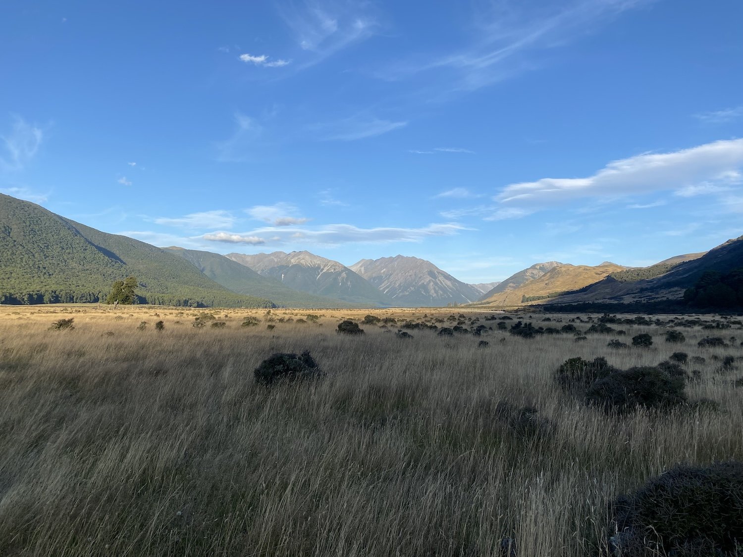
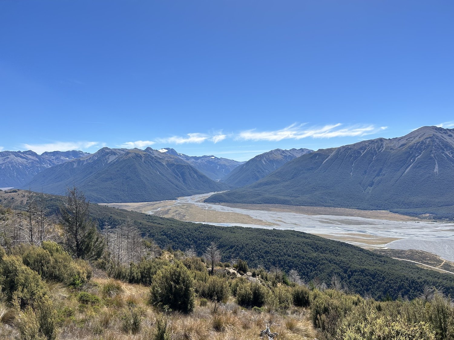
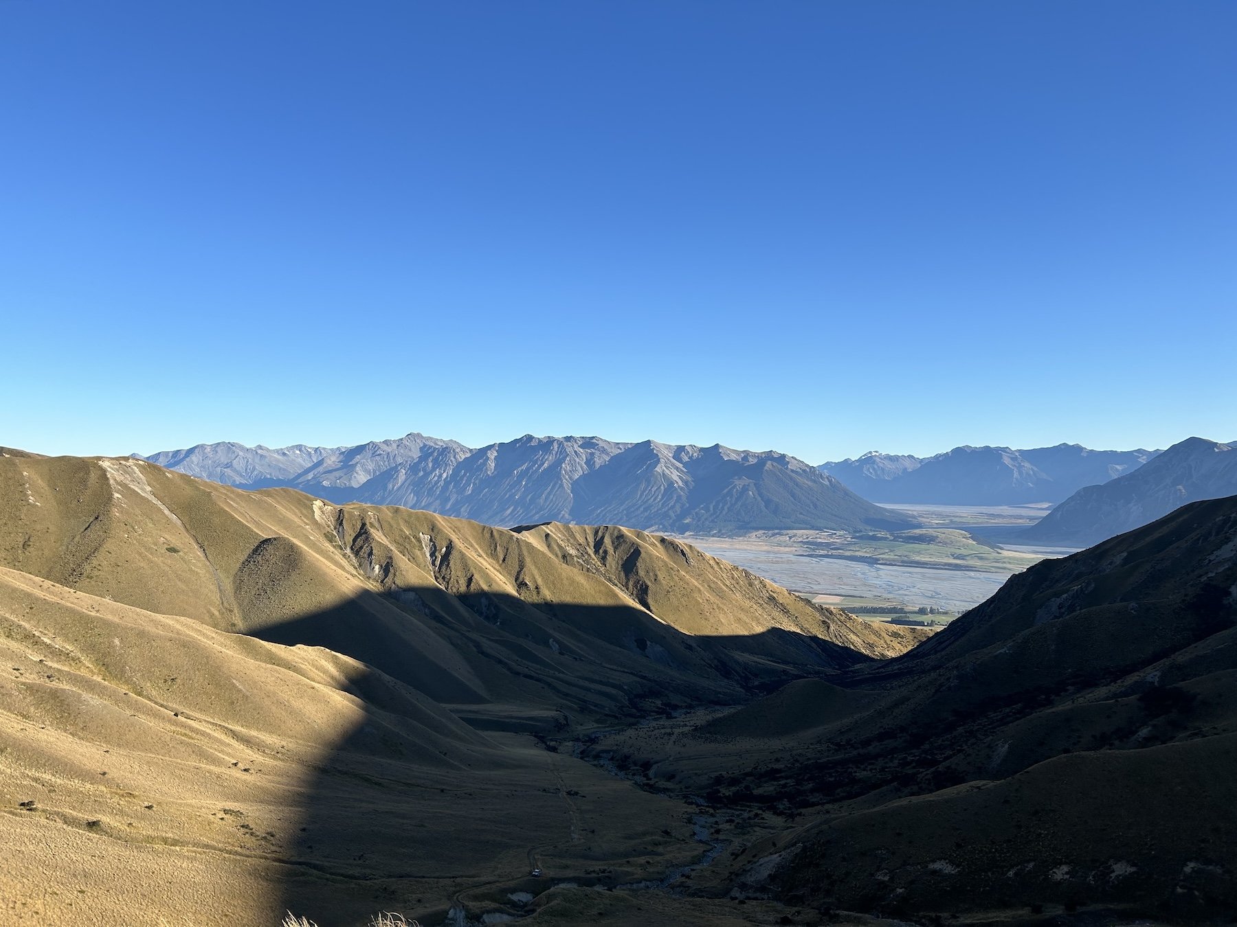
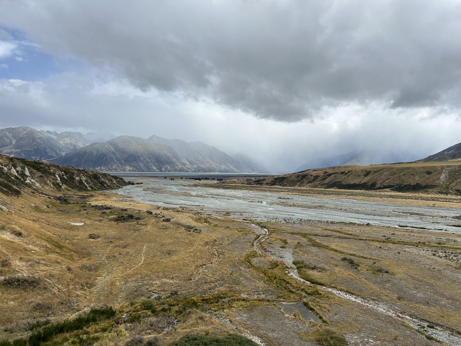
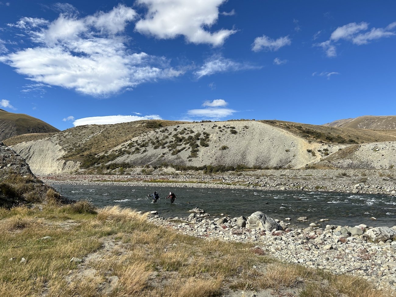
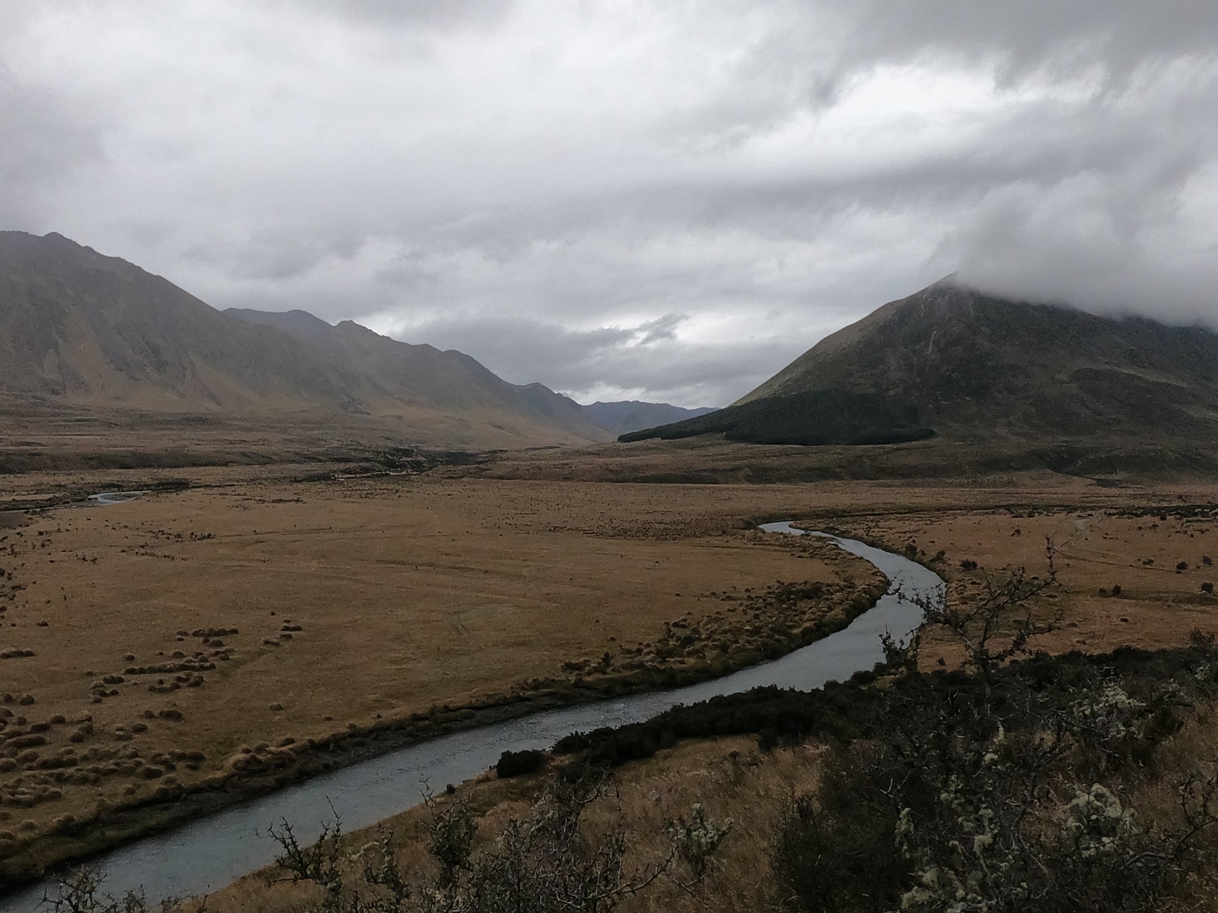
The Wilberforce River flood-plane

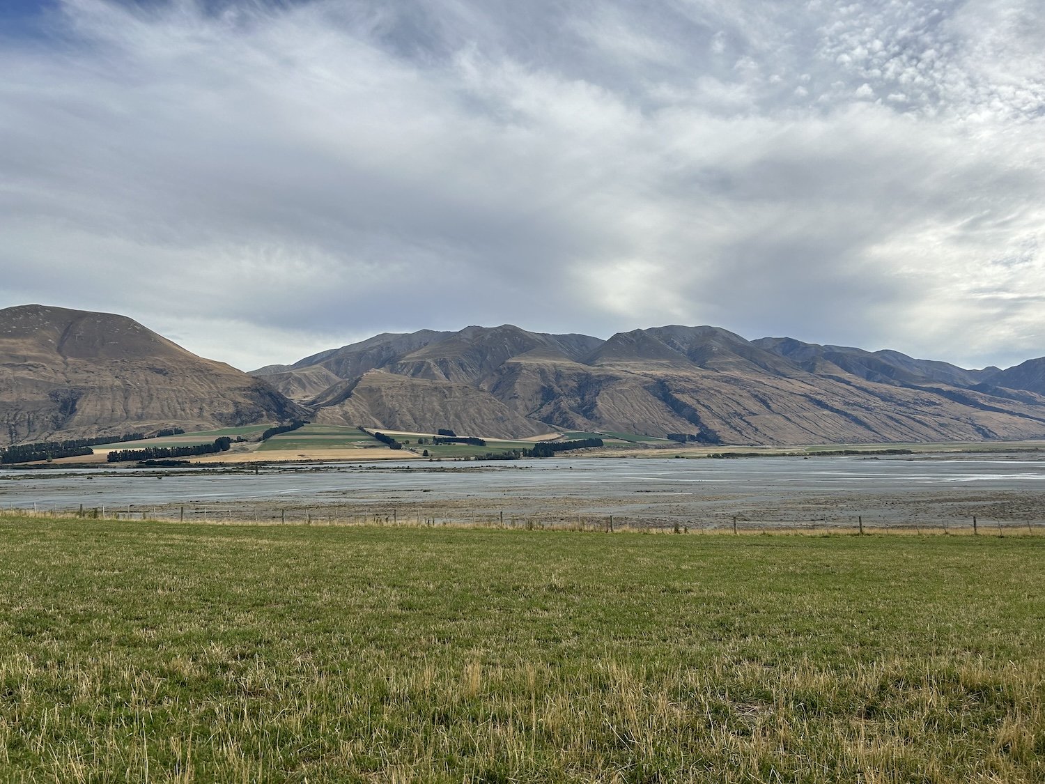
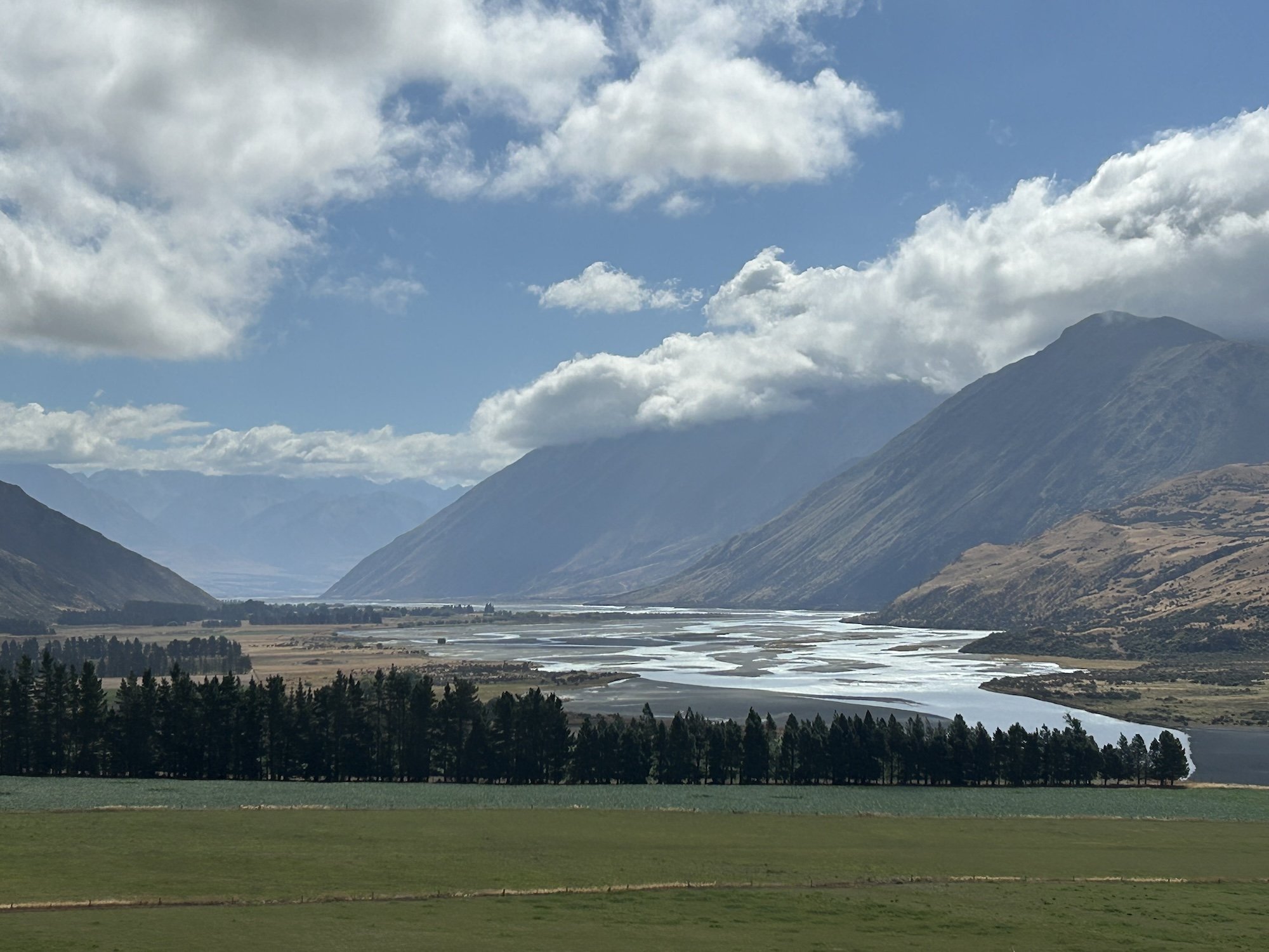
The Rakaia River flood-plane
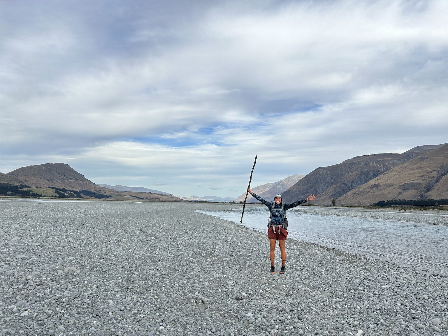
Photo taken by David

Photo taken by David

David and I after fording the Wilberforce and Rakaia Rivers

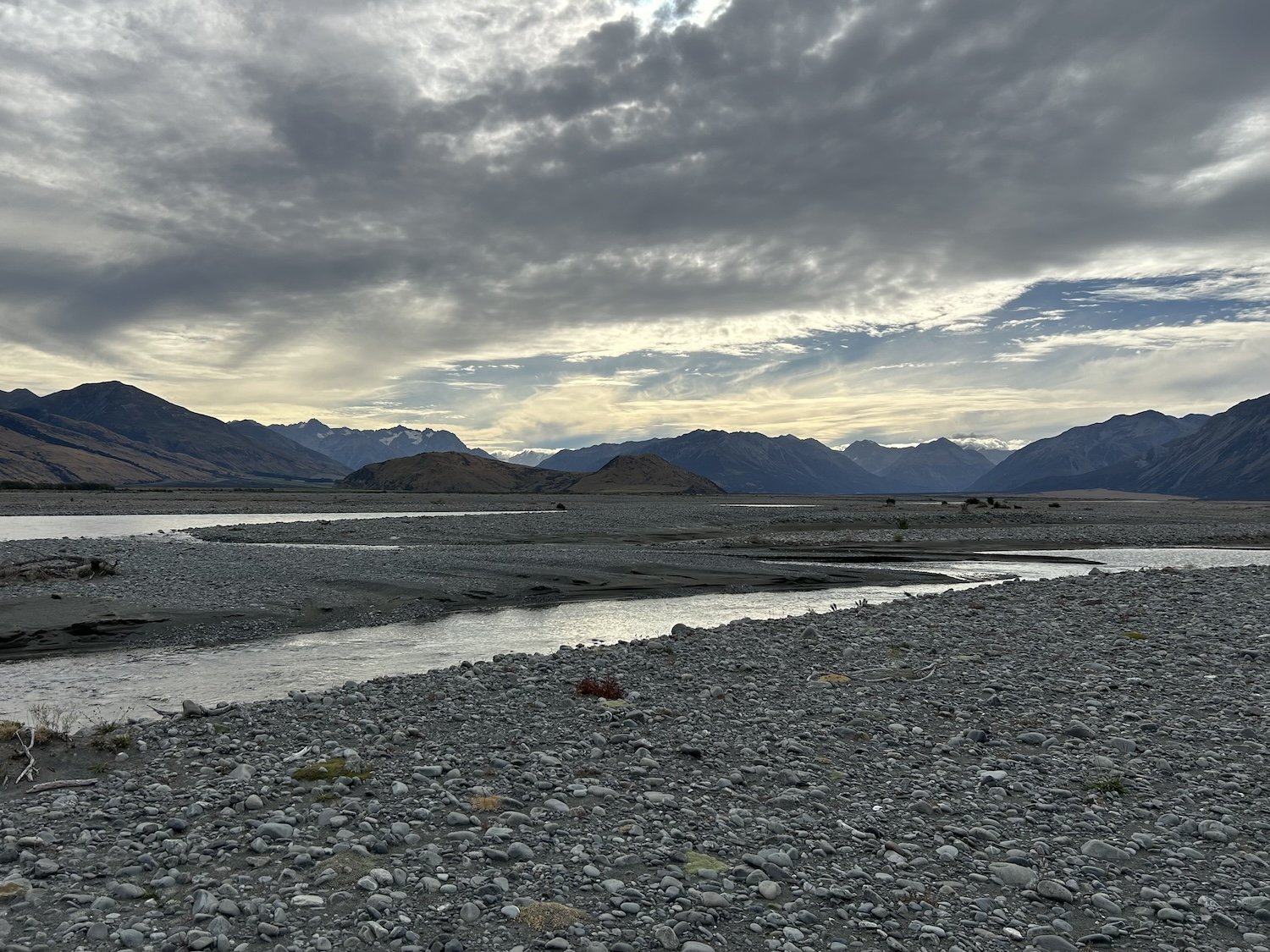
View of the Wilberforce and Rakaia River confluence
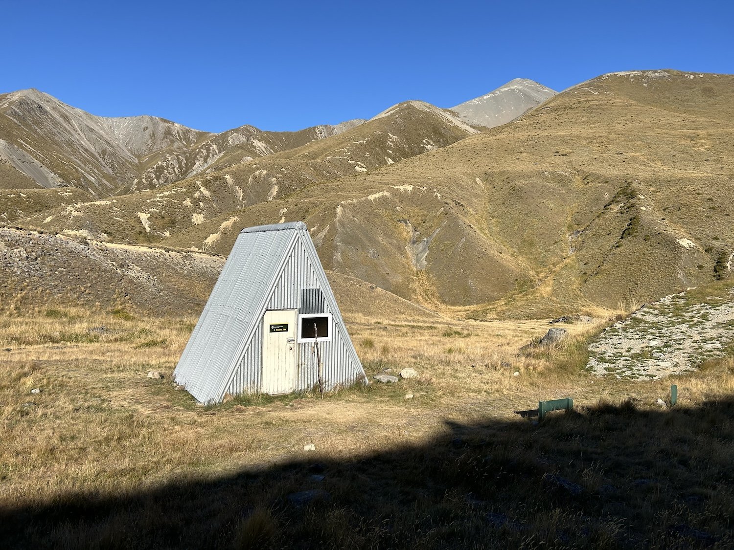
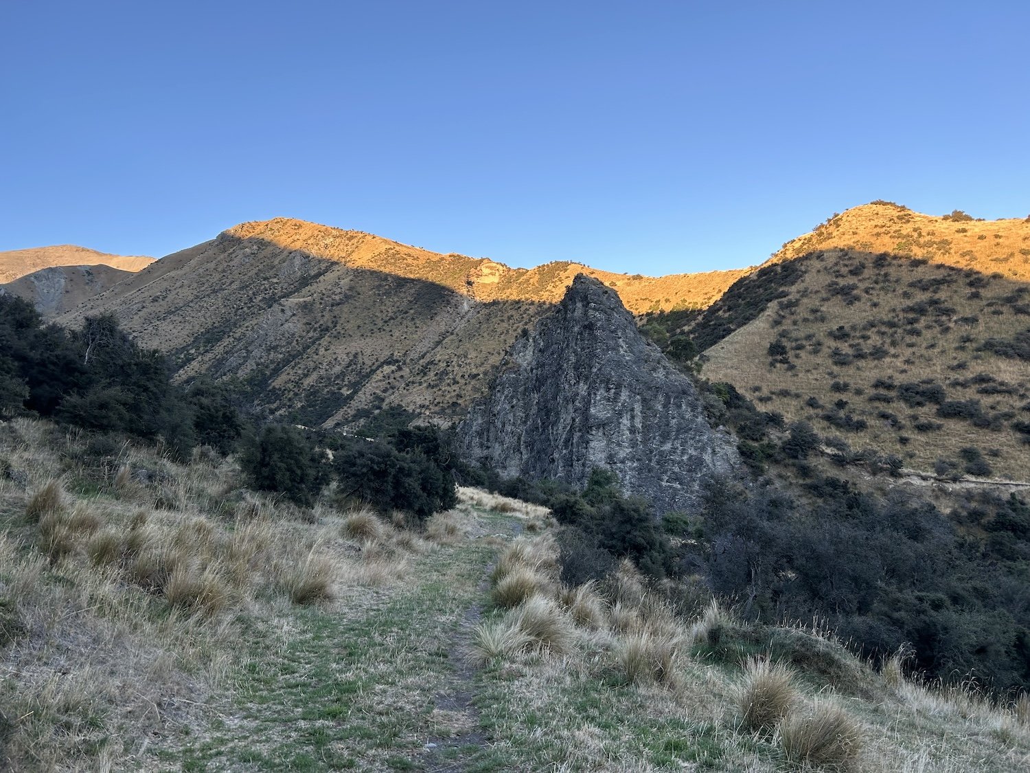
A-frame Hut

Bushtail Possum in DOC trap


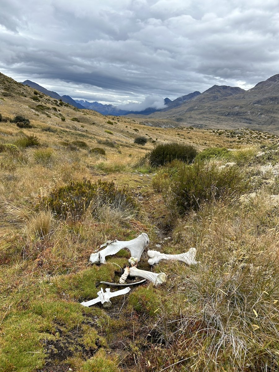
Potts River confluence with the Rangitata


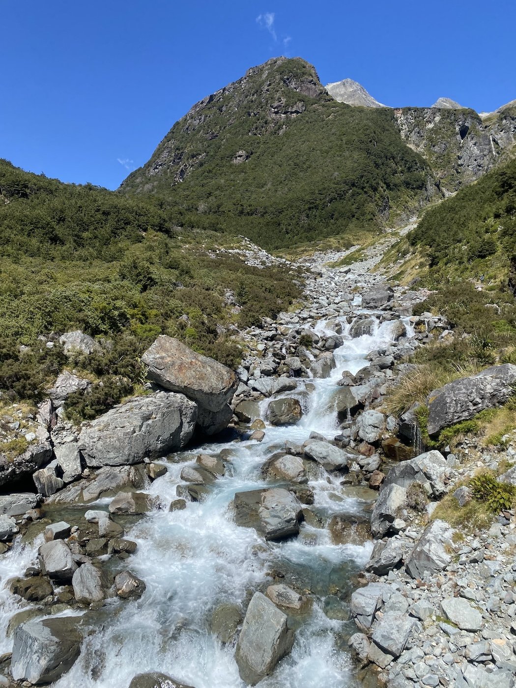
Bush Creek

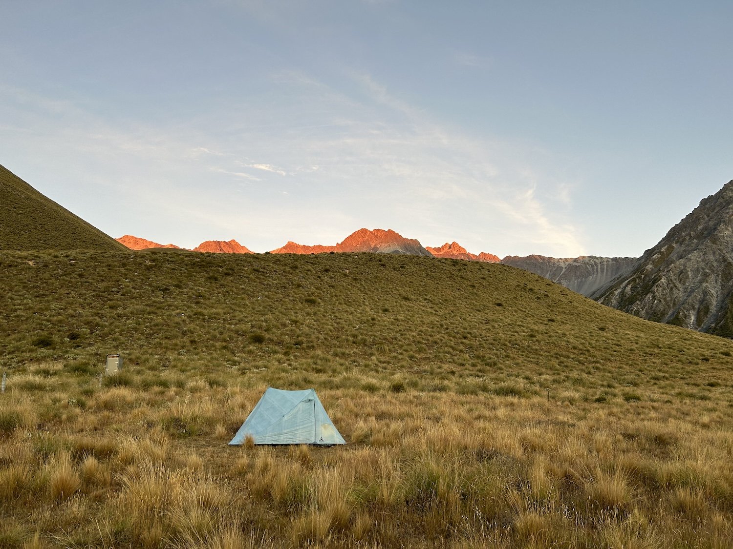

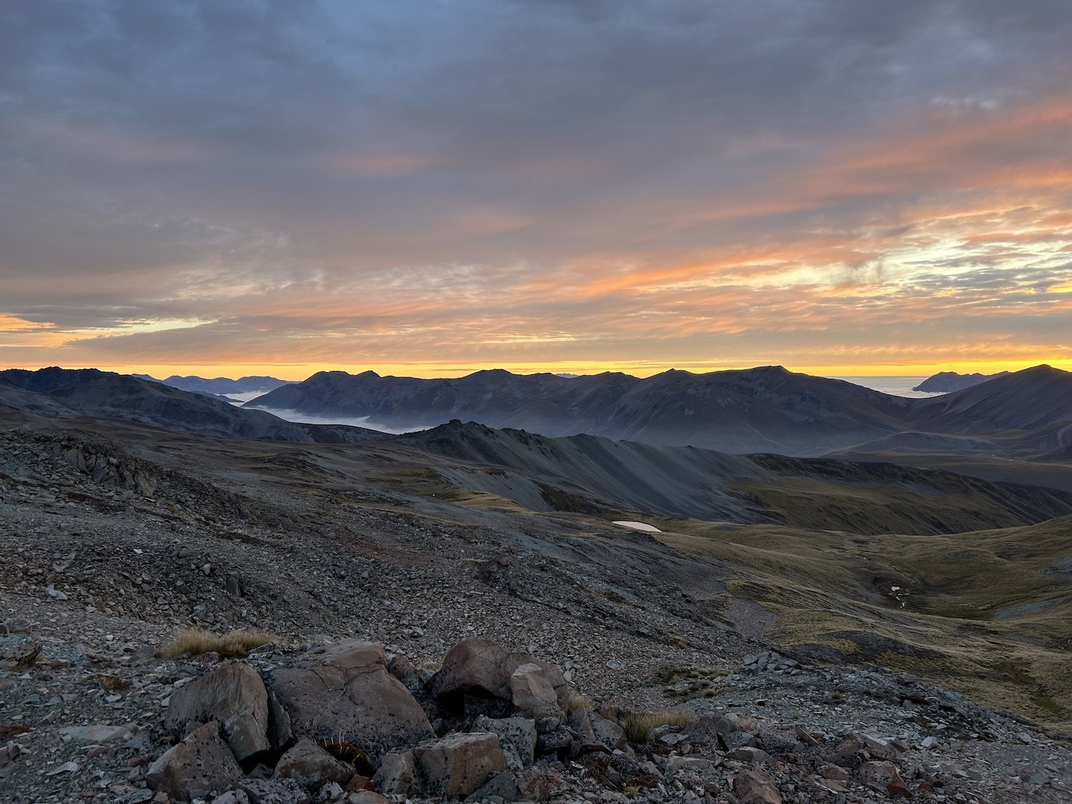
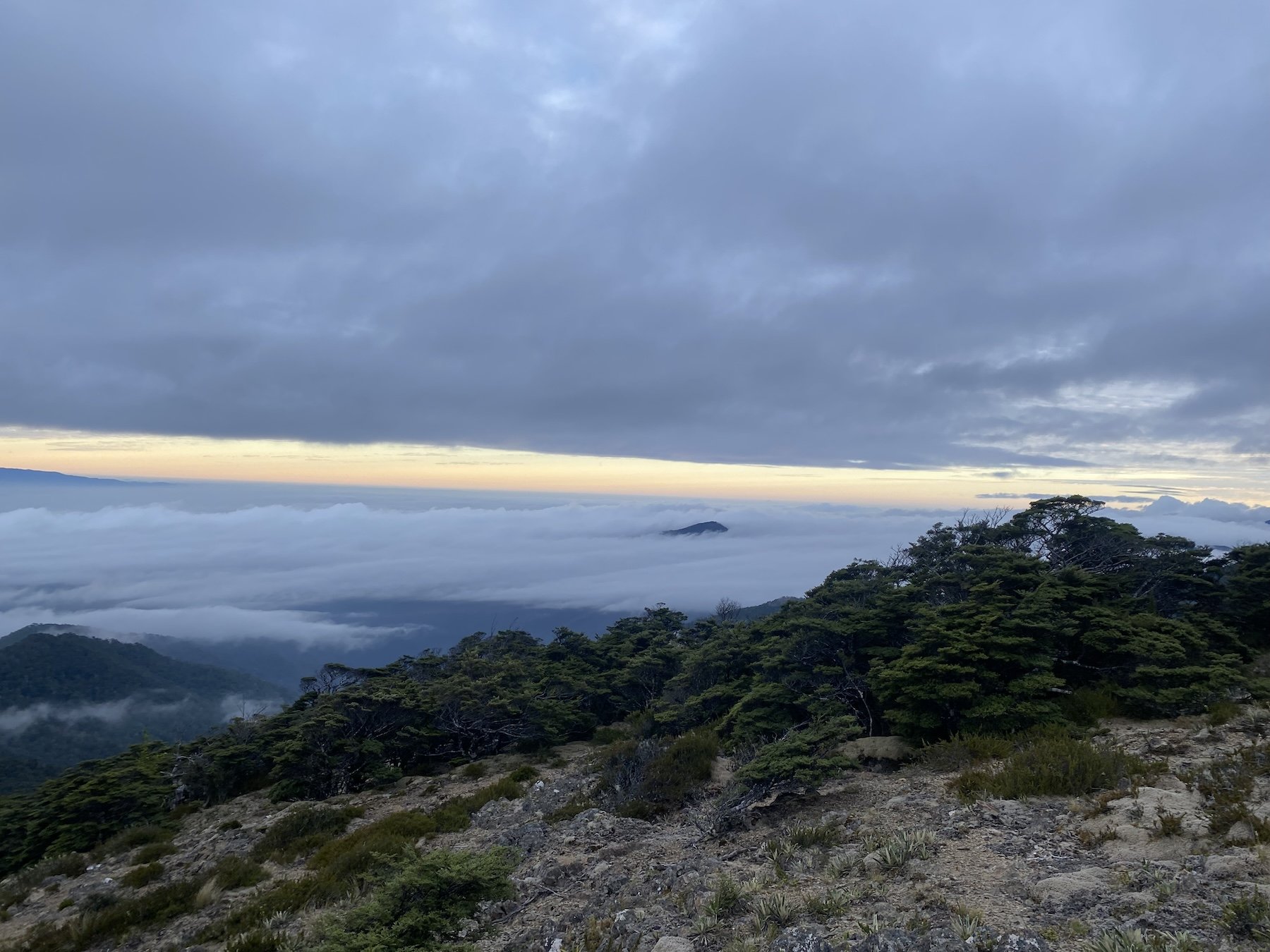
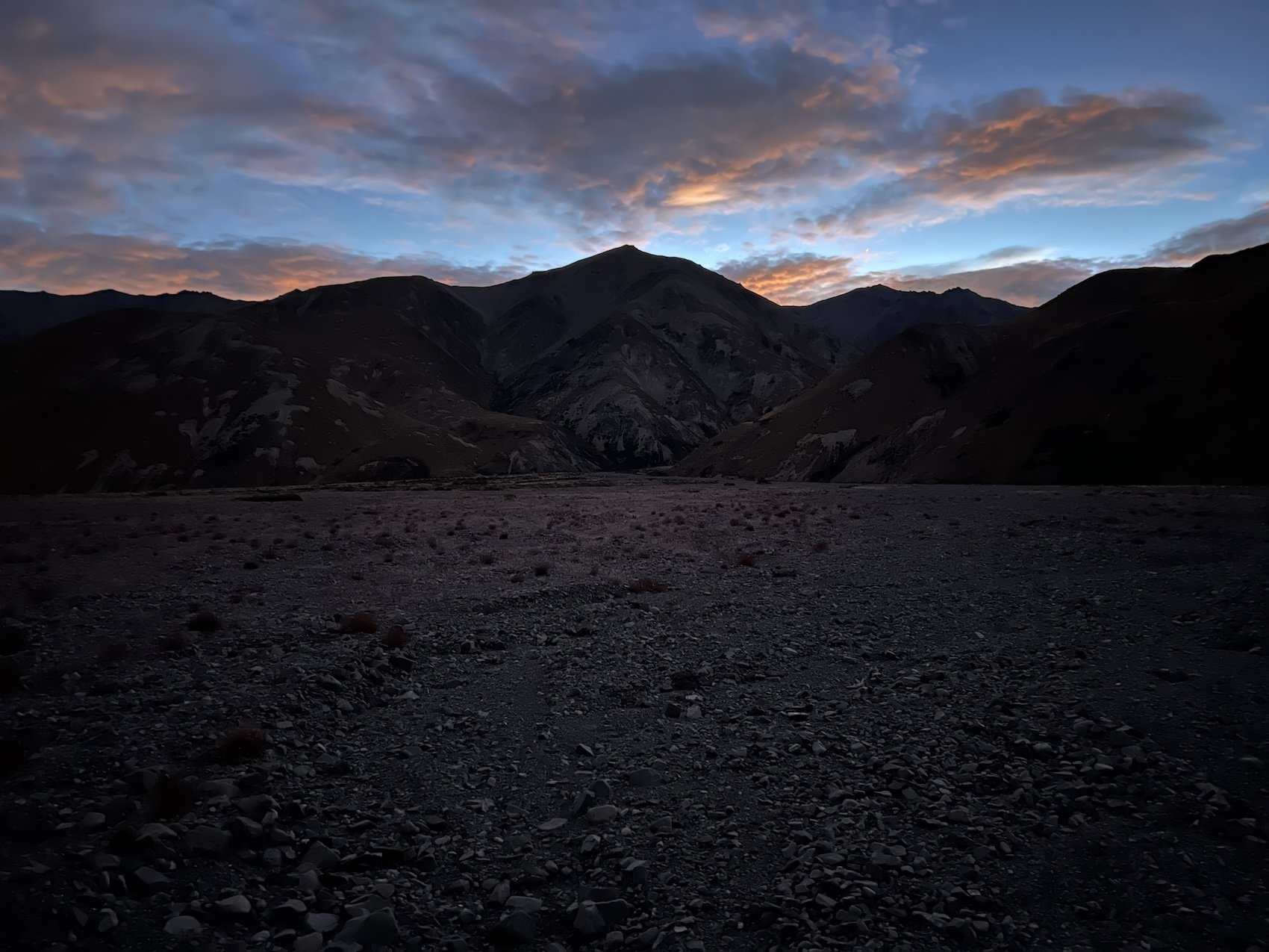
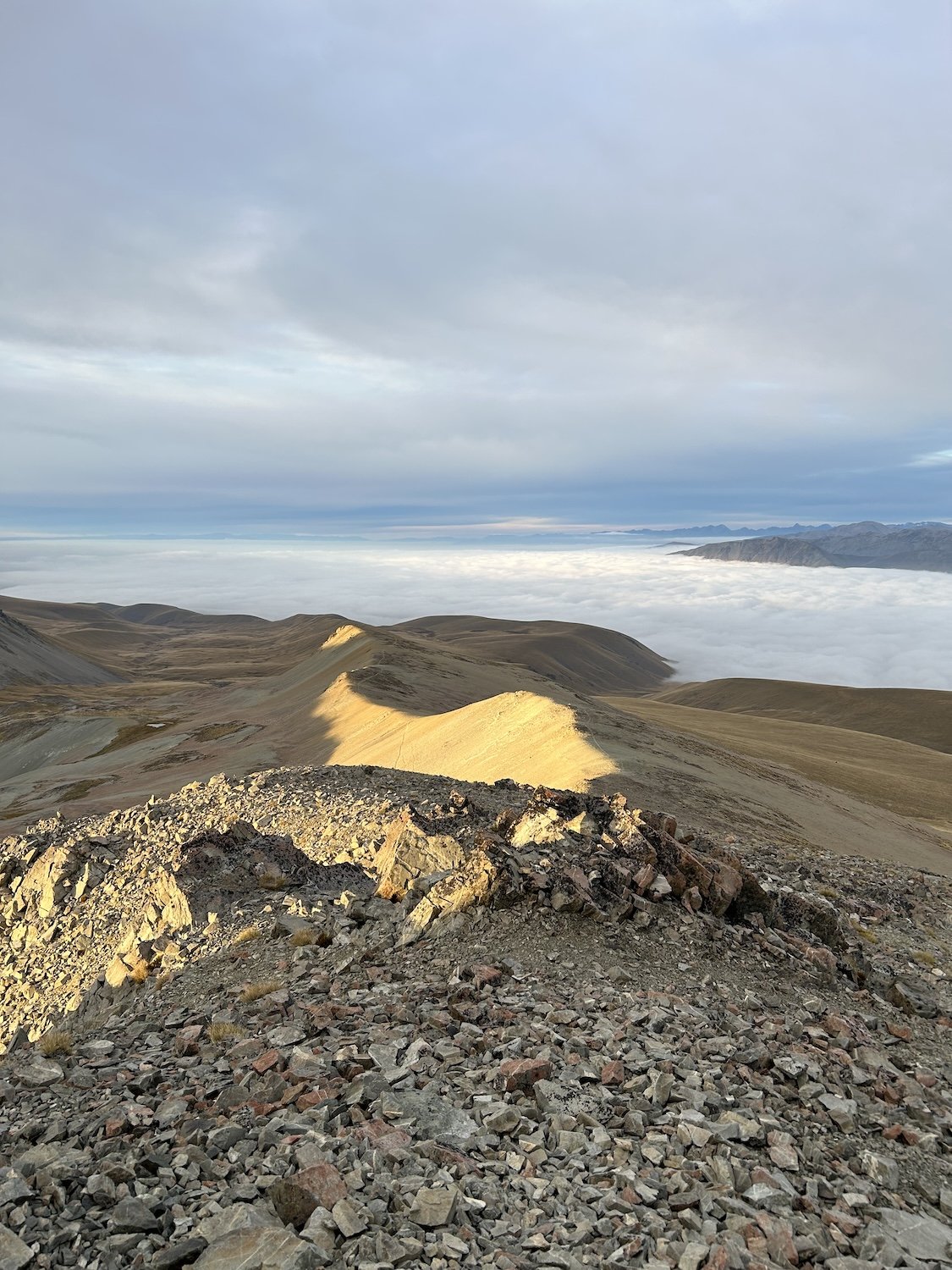
Sunrise on Stag Saddle
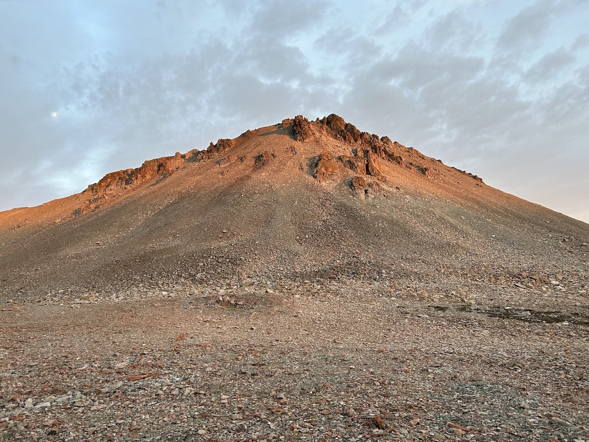
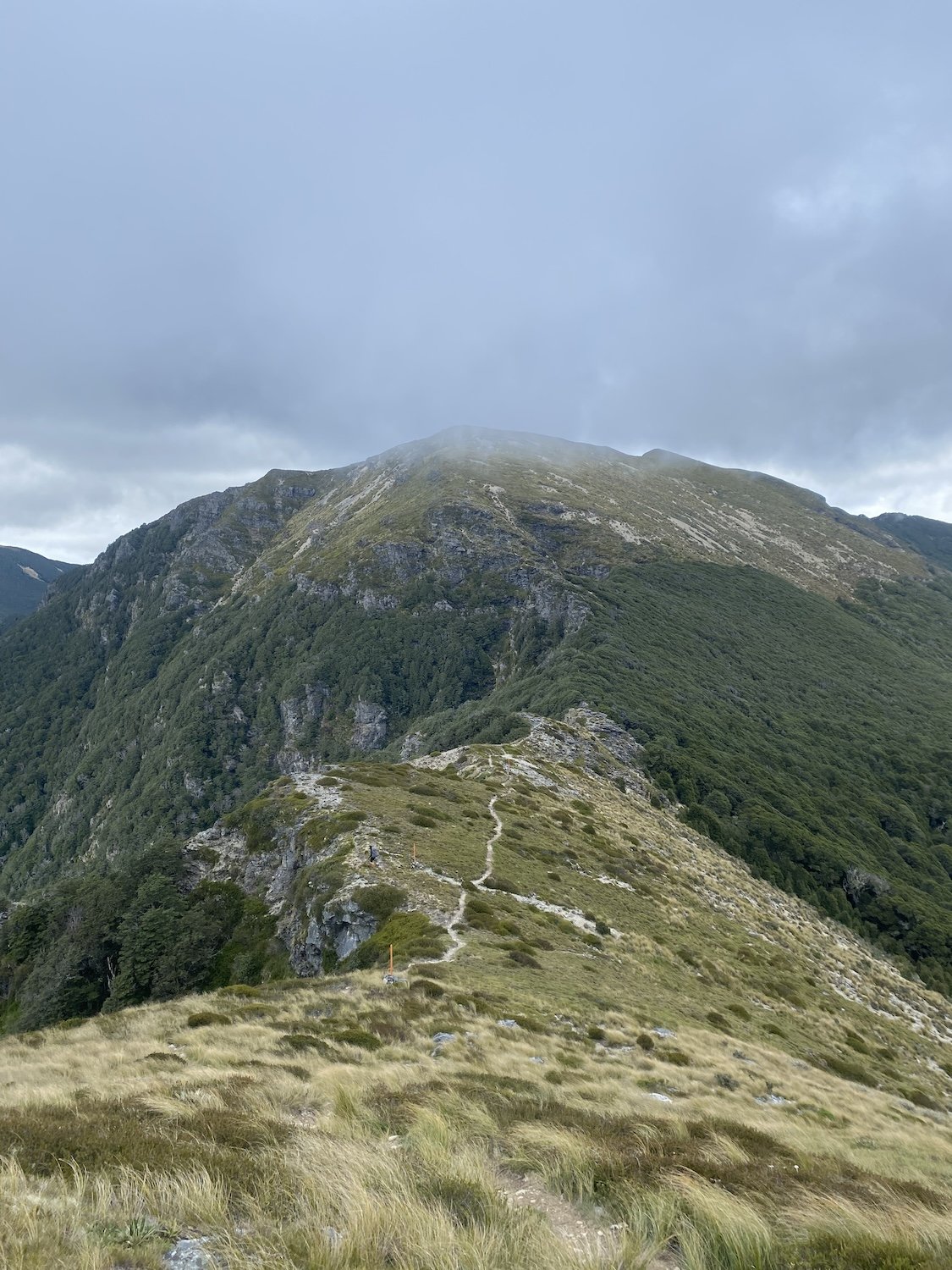
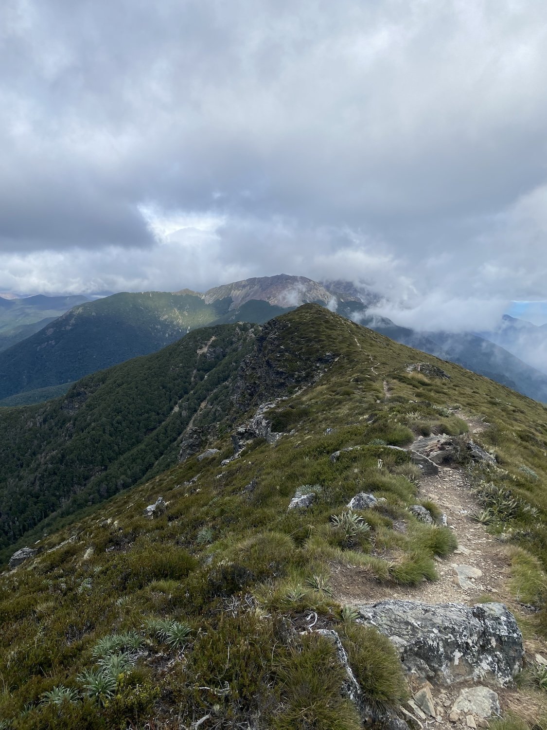
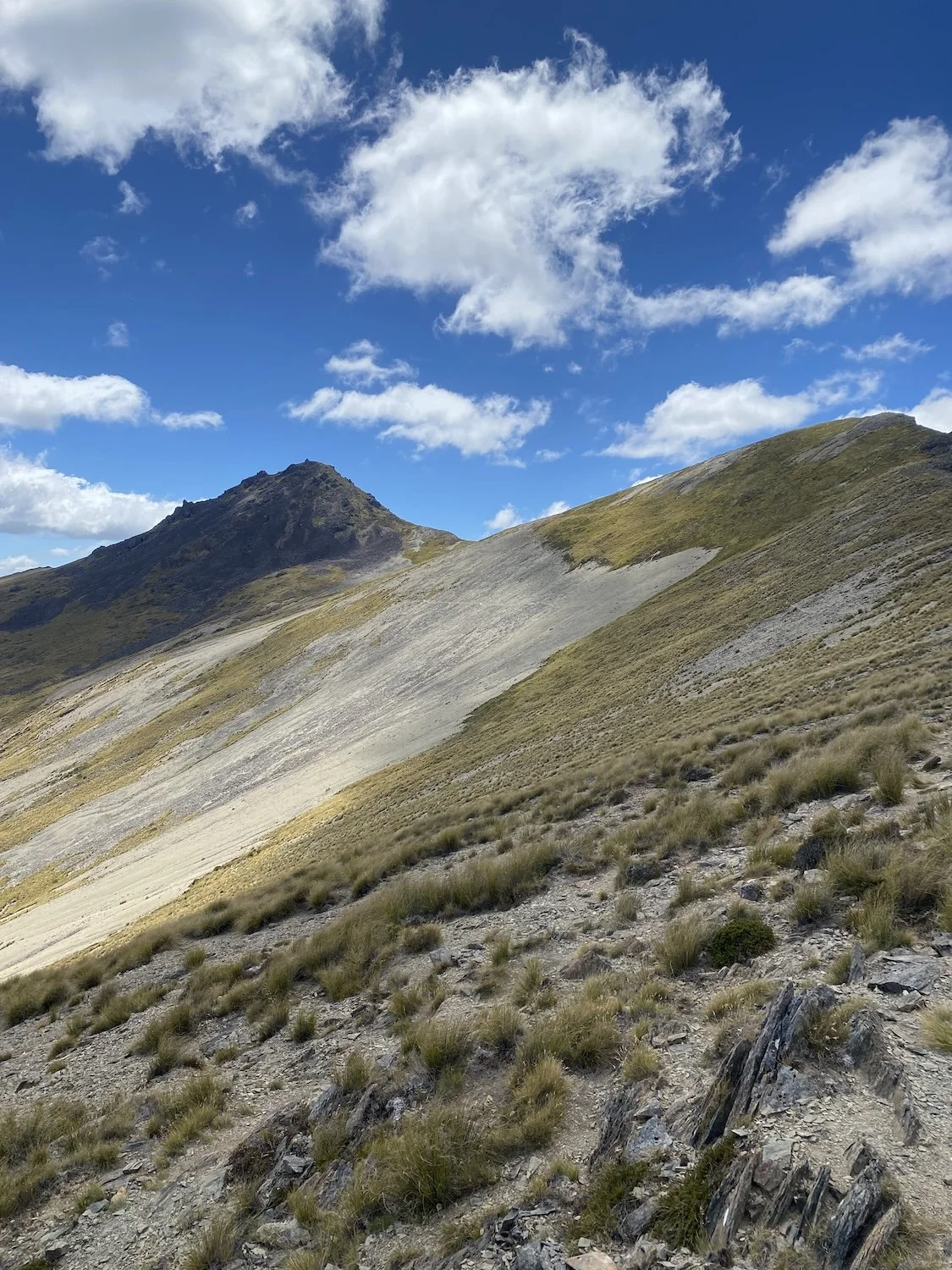
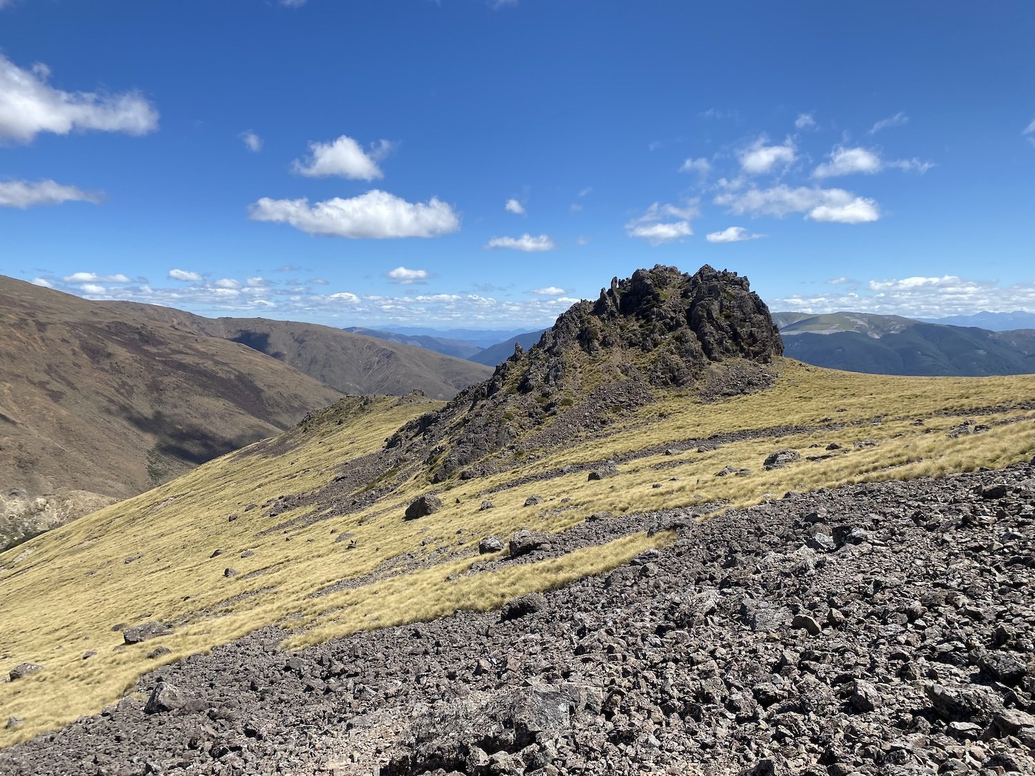
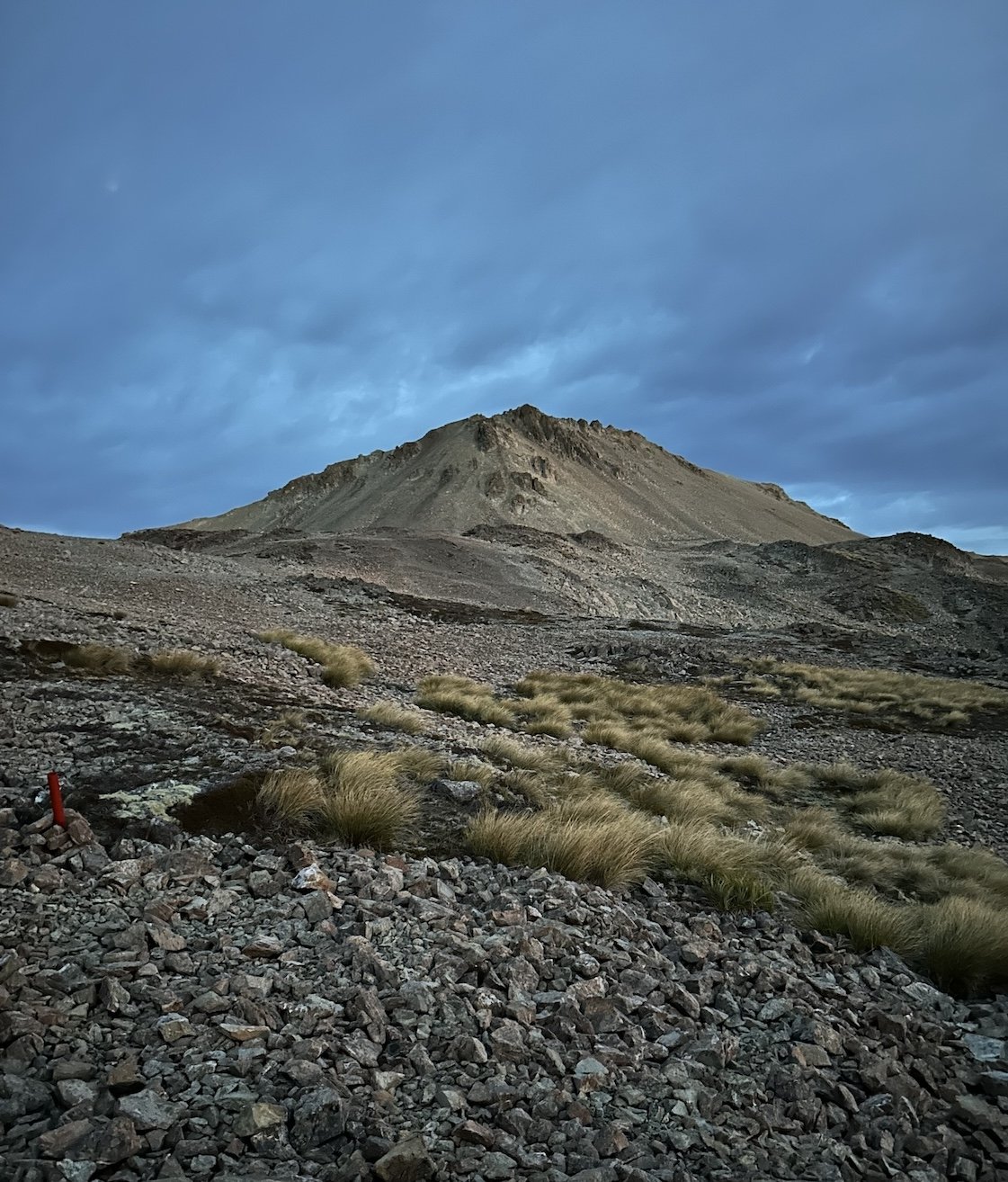
Buezenberg Peak

View of Aoraki // Mt. Cook


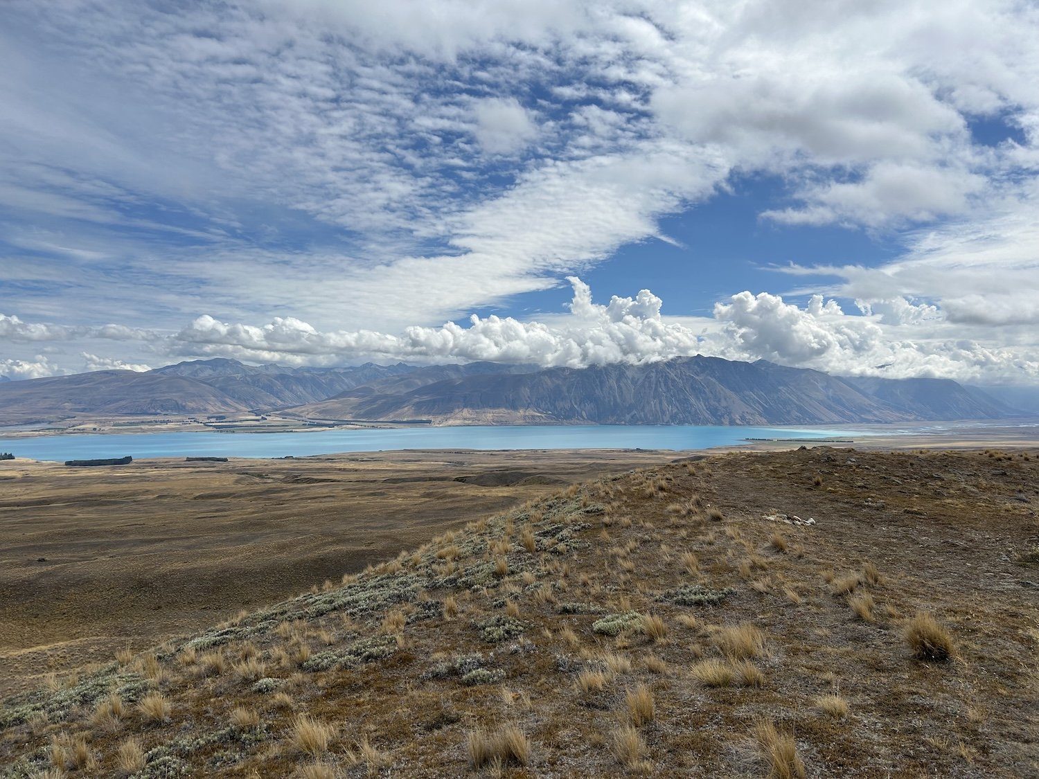


Lake Pukaki, photo taken by Taki


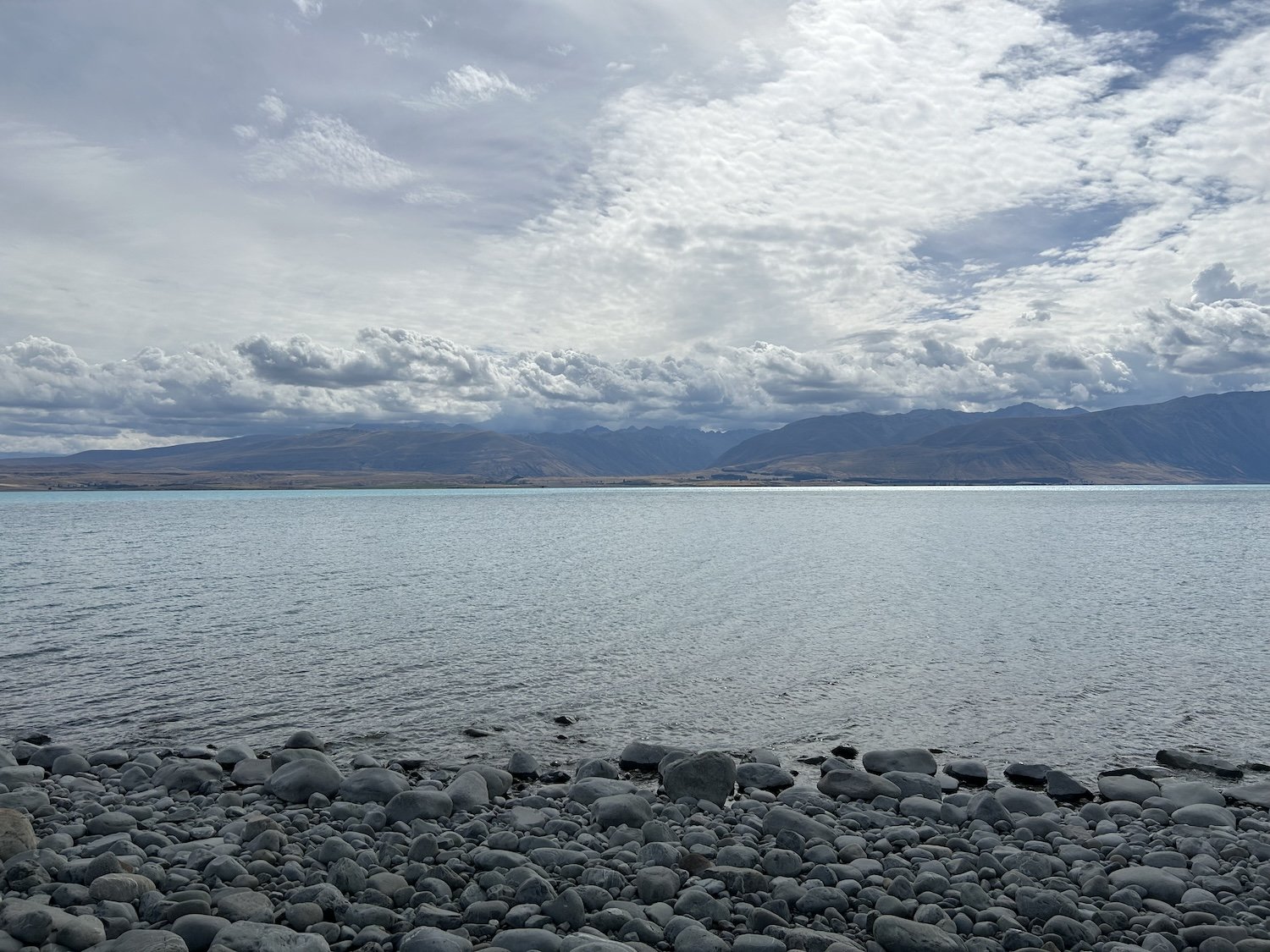
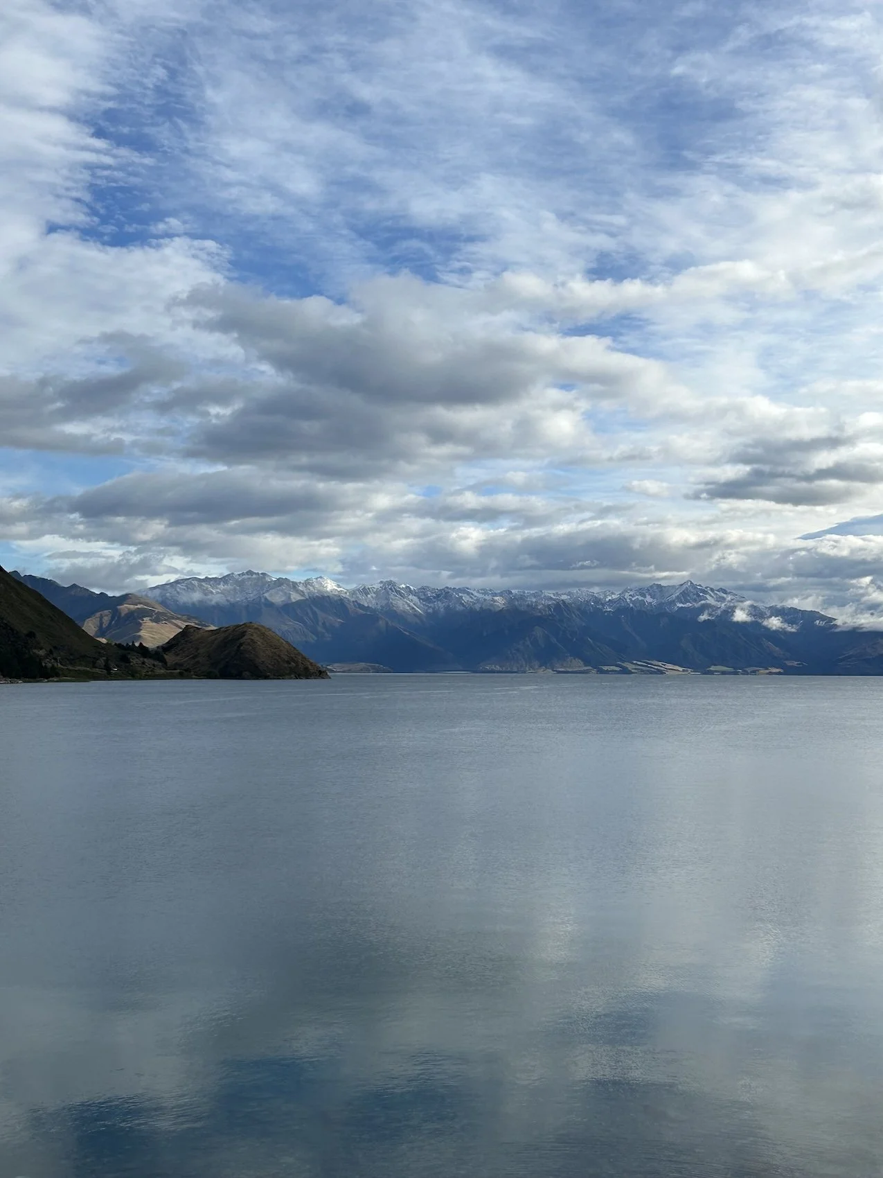
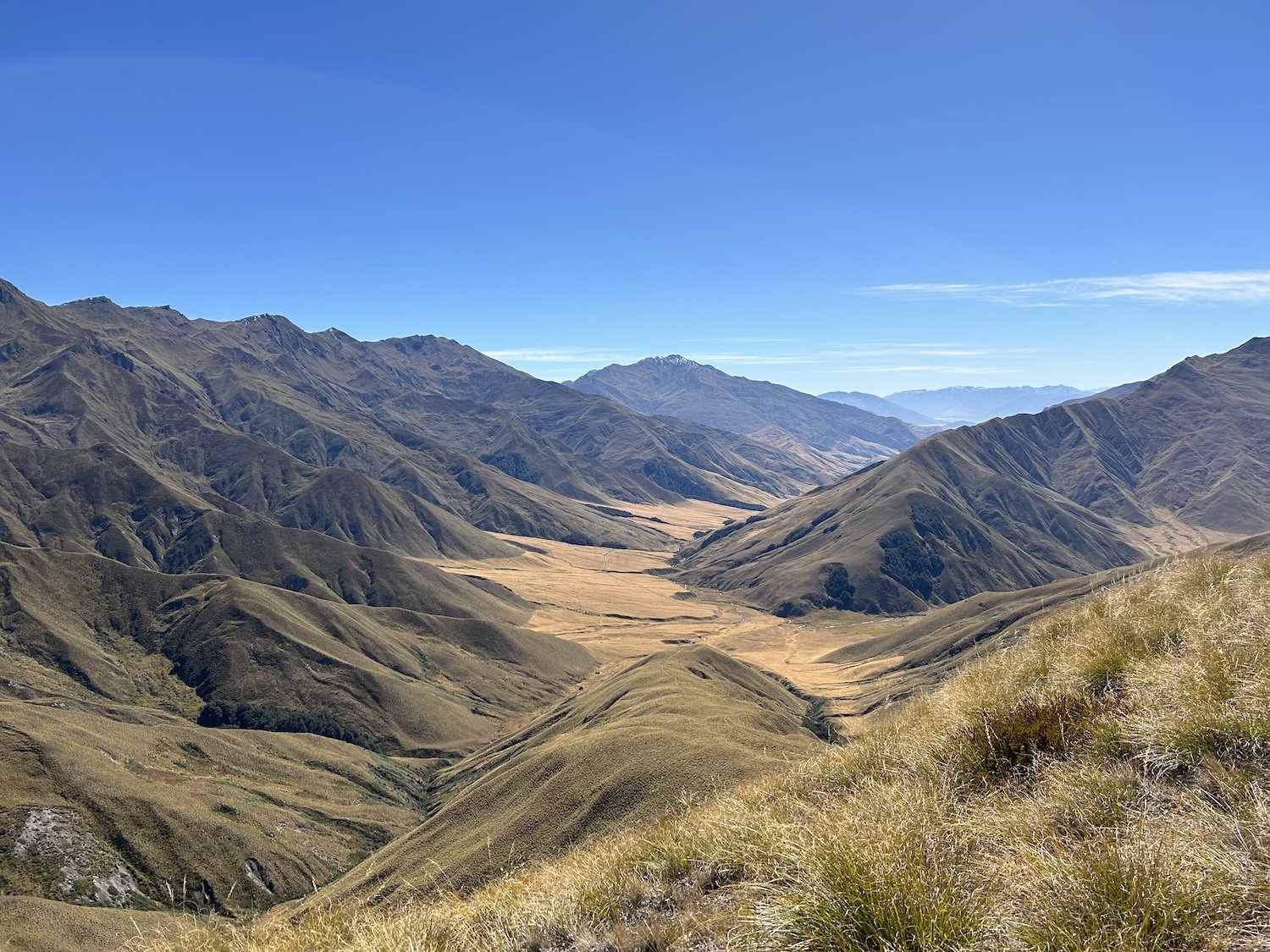
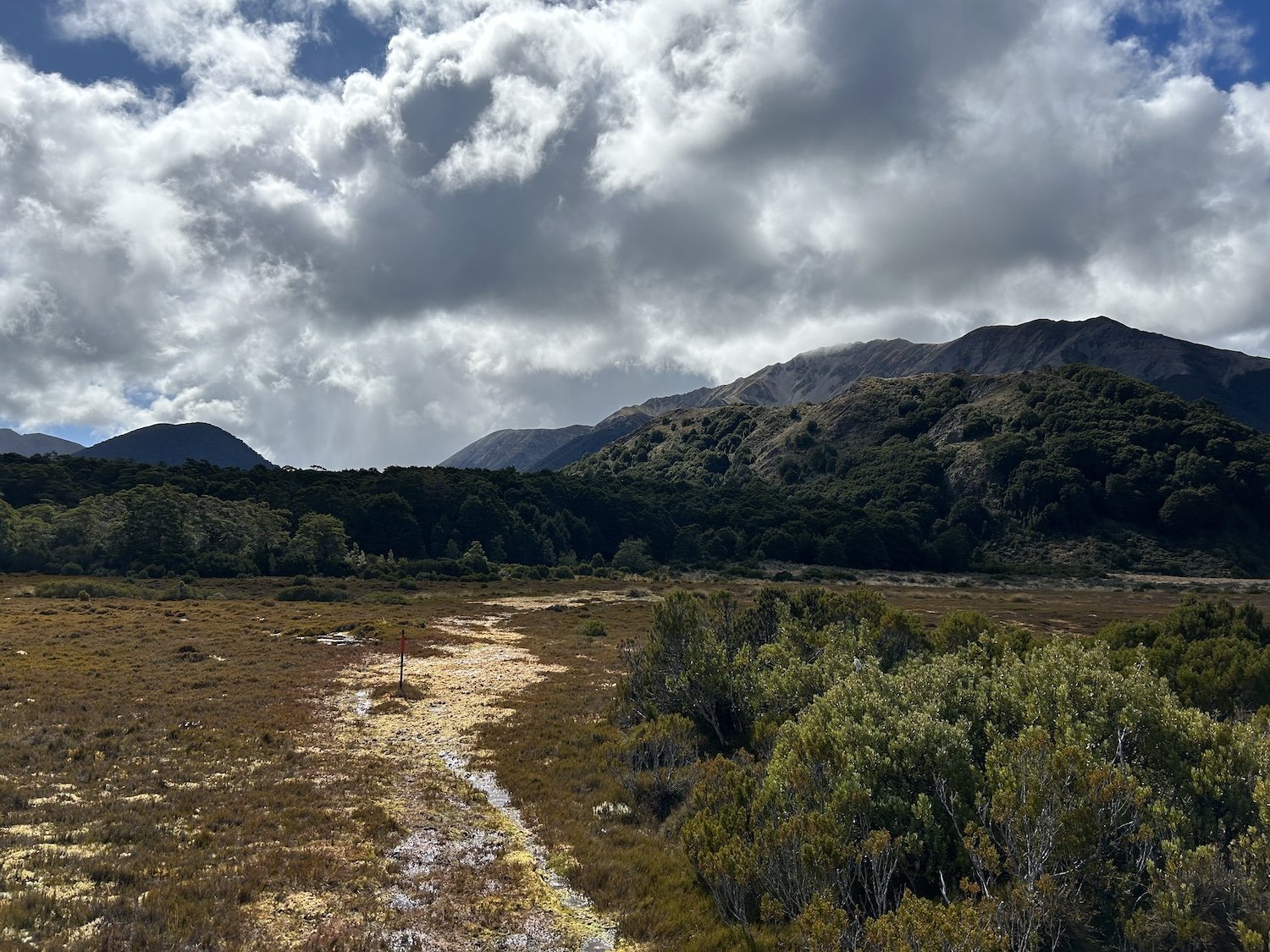
Ahuriri River


Timaru River Walk

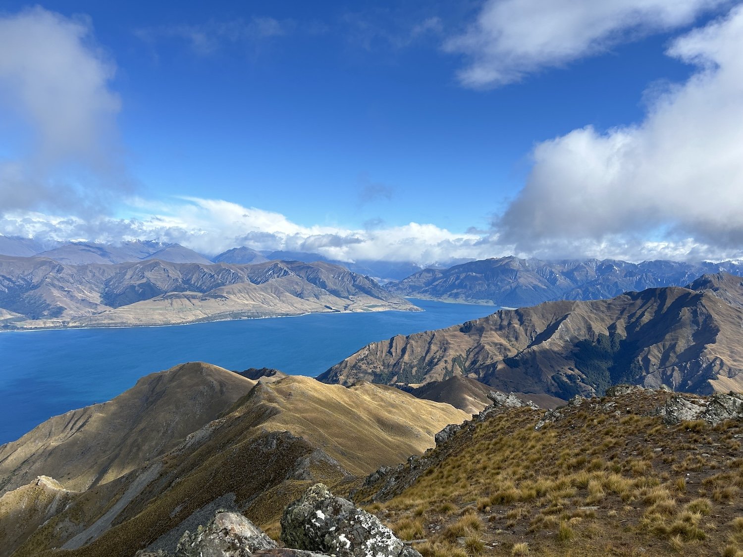
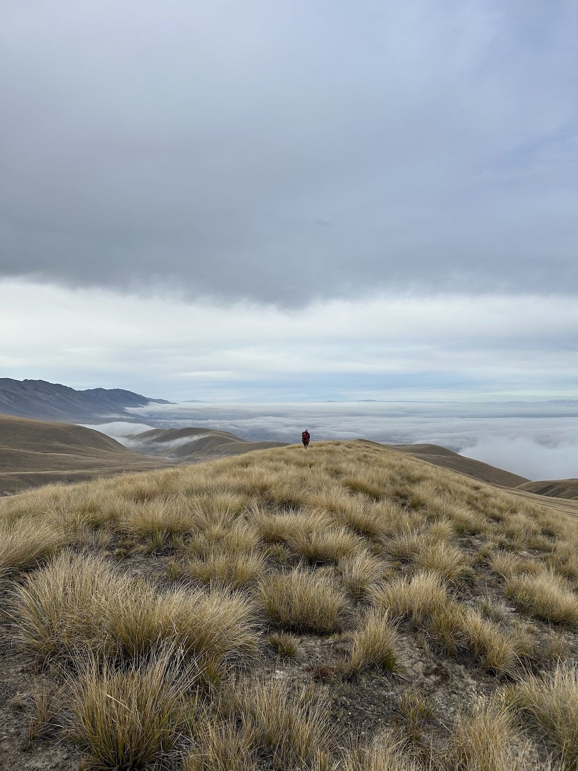
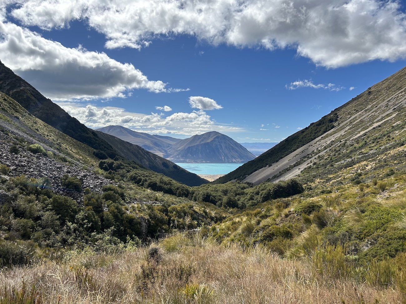
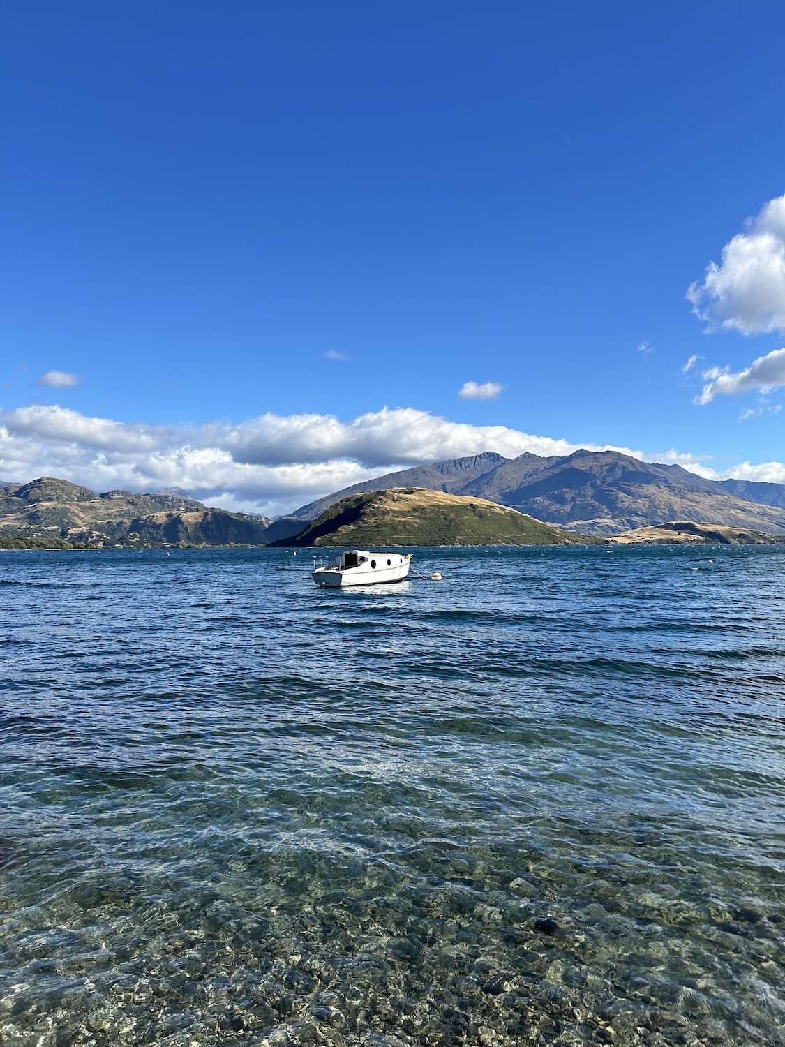
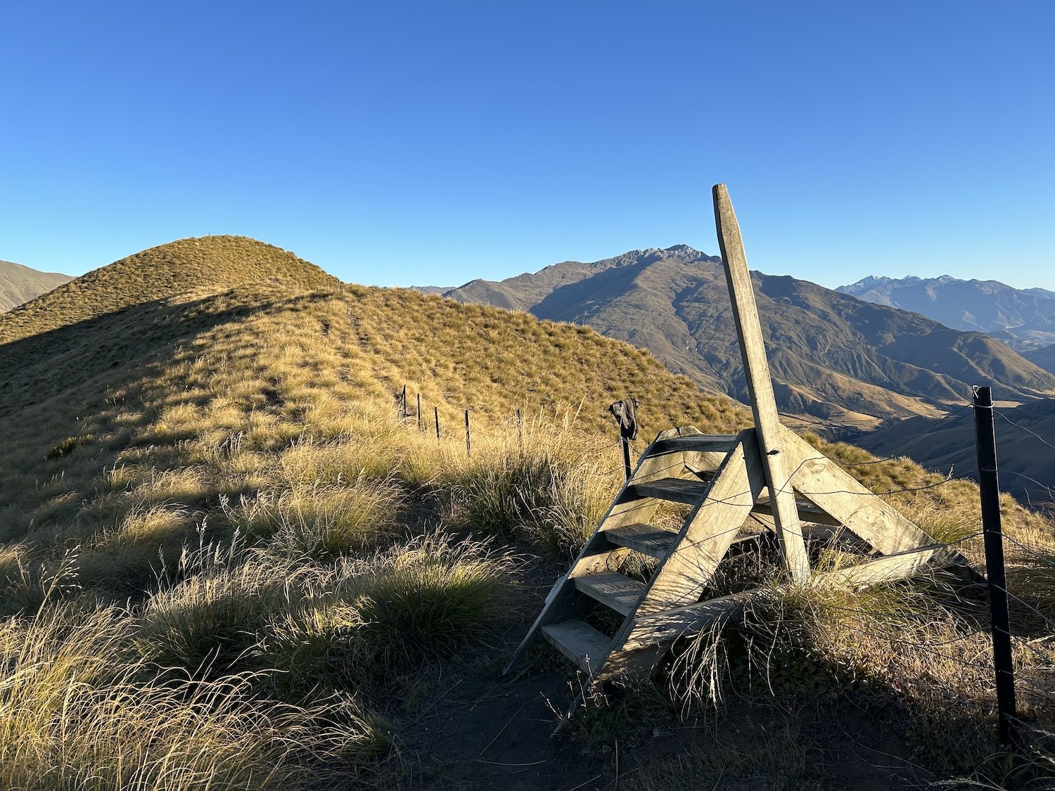
Lake Hawea from Breast Hill

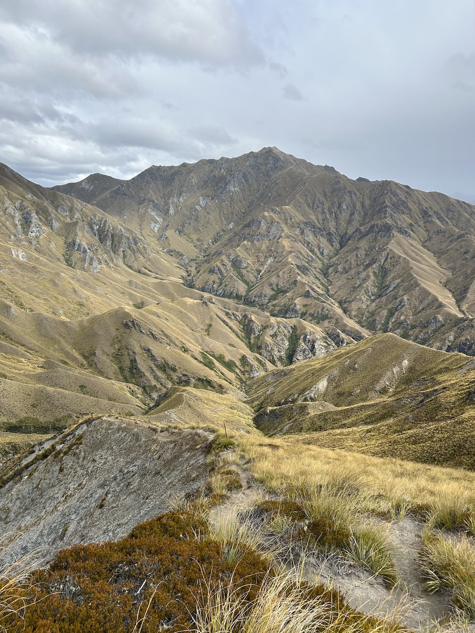
The Motatapu Track


Matagouri Shrub

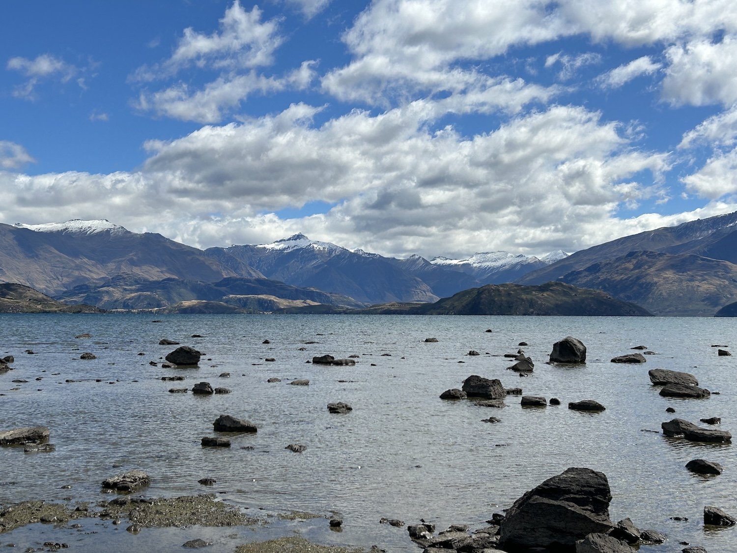
Lake Wakatipu

The Routeburn Track, Harris Lake


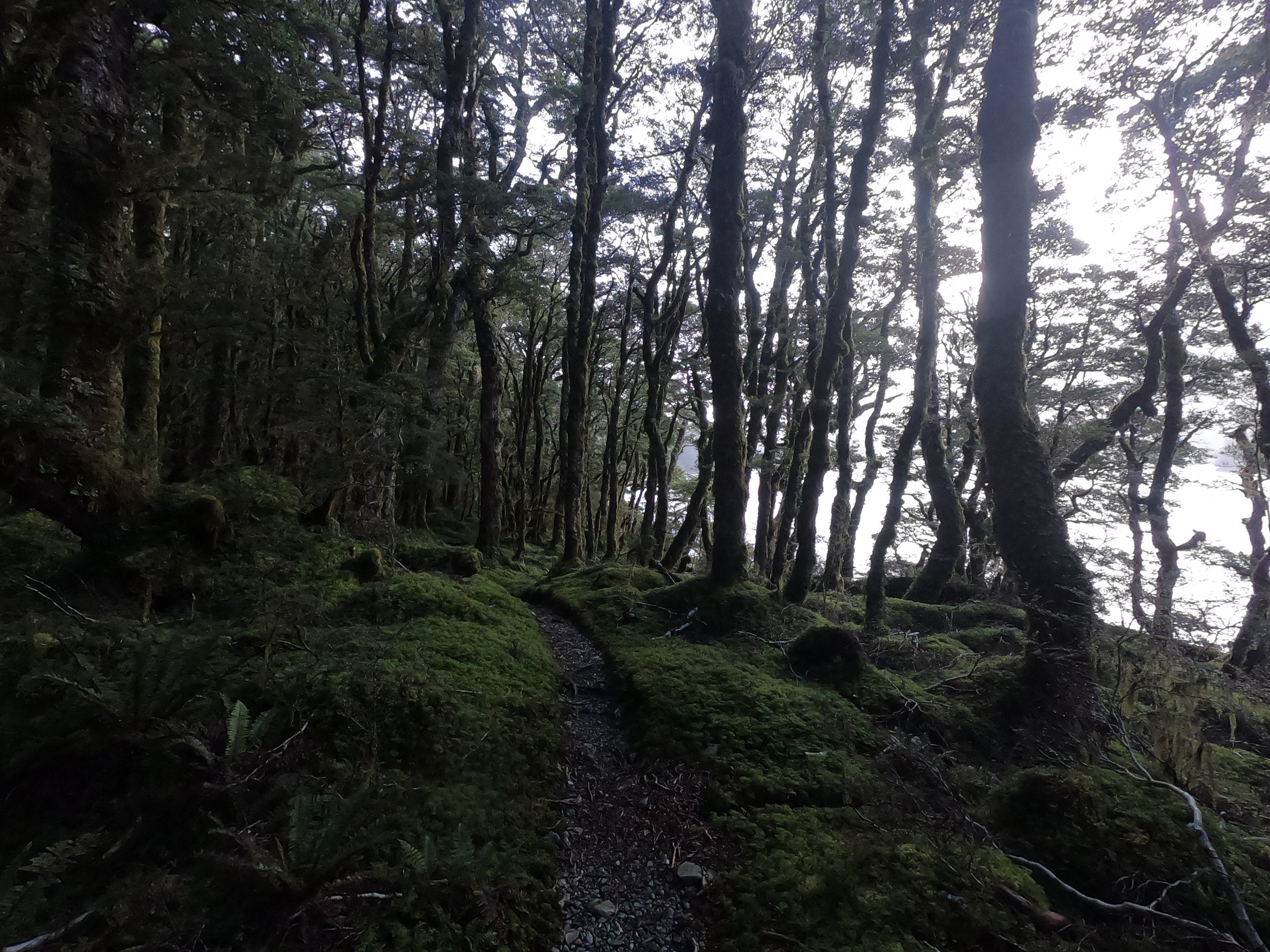

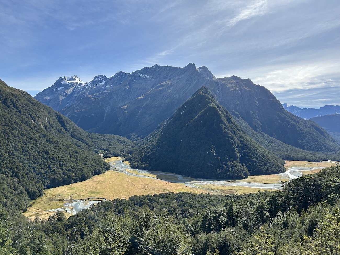
Greenstone Hut

The Mavora Walkway


South Mavora Lake


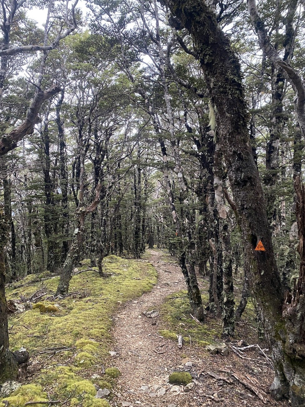
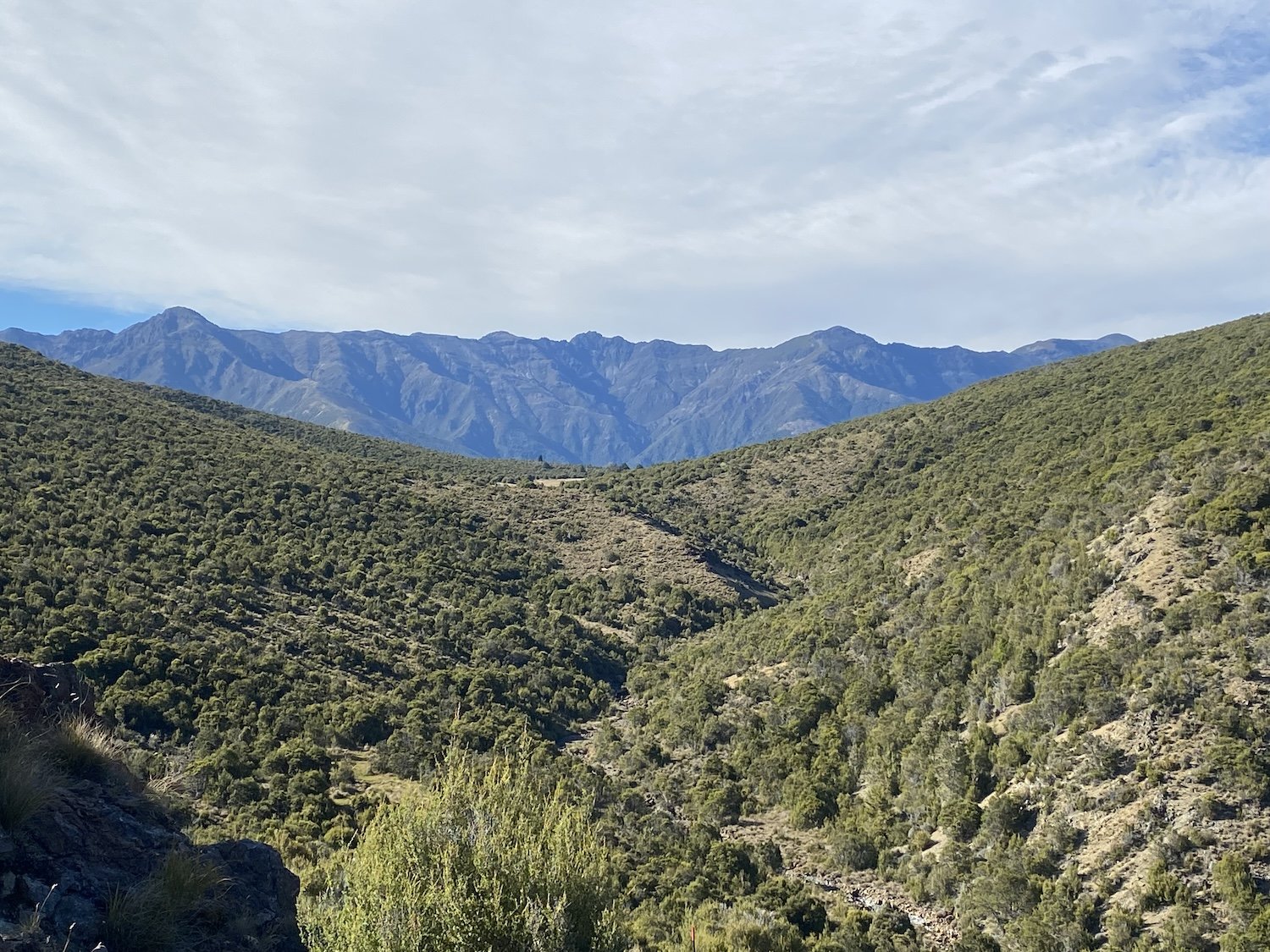
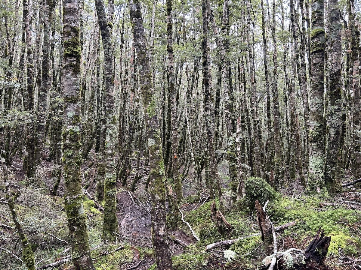
Takitimu Forest


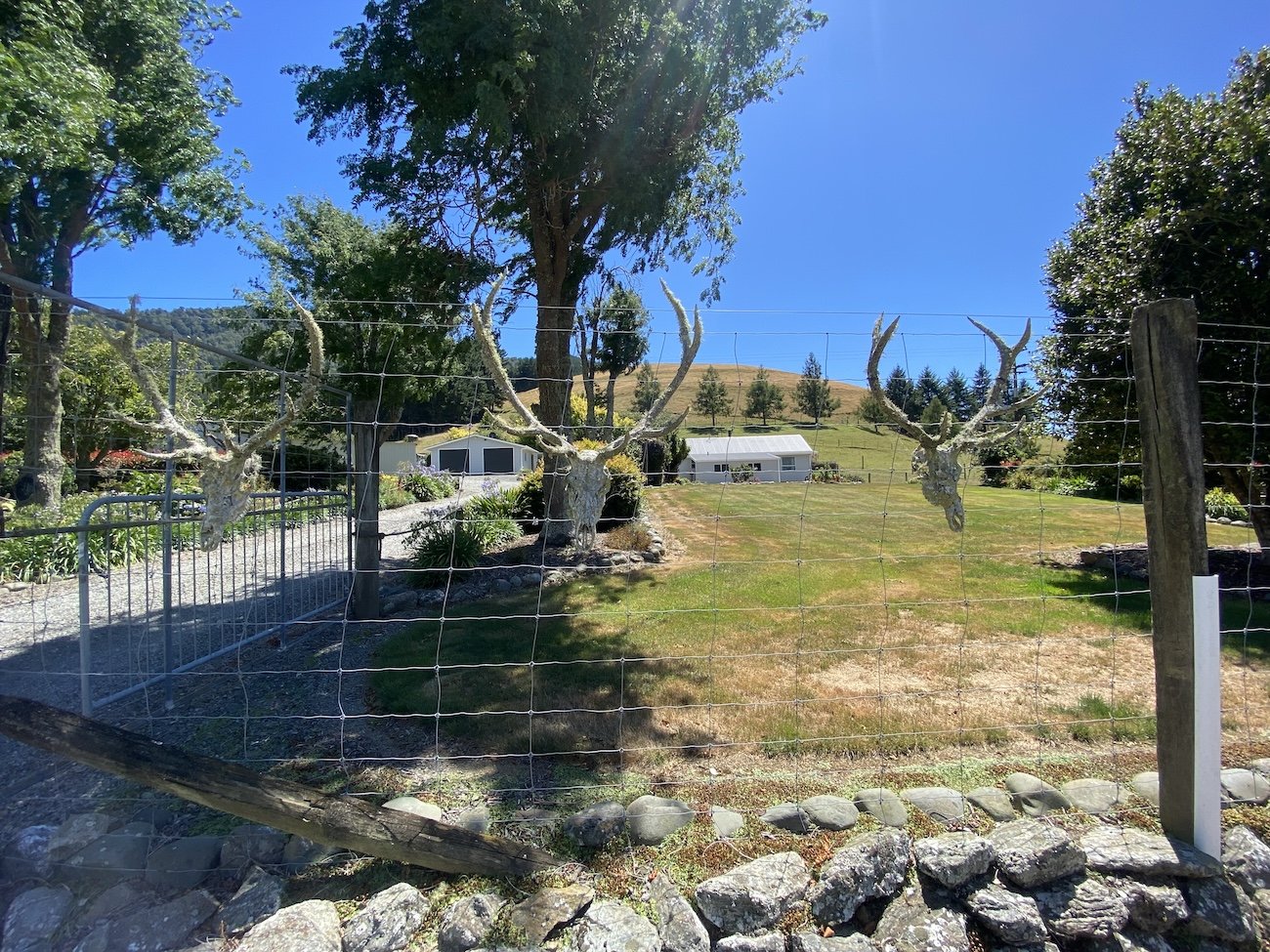
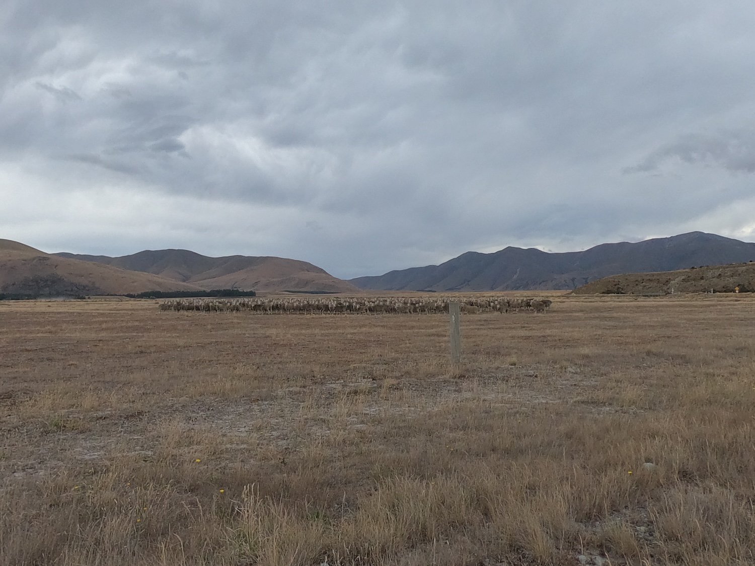
Mount Linton Station


The Longwood Forest


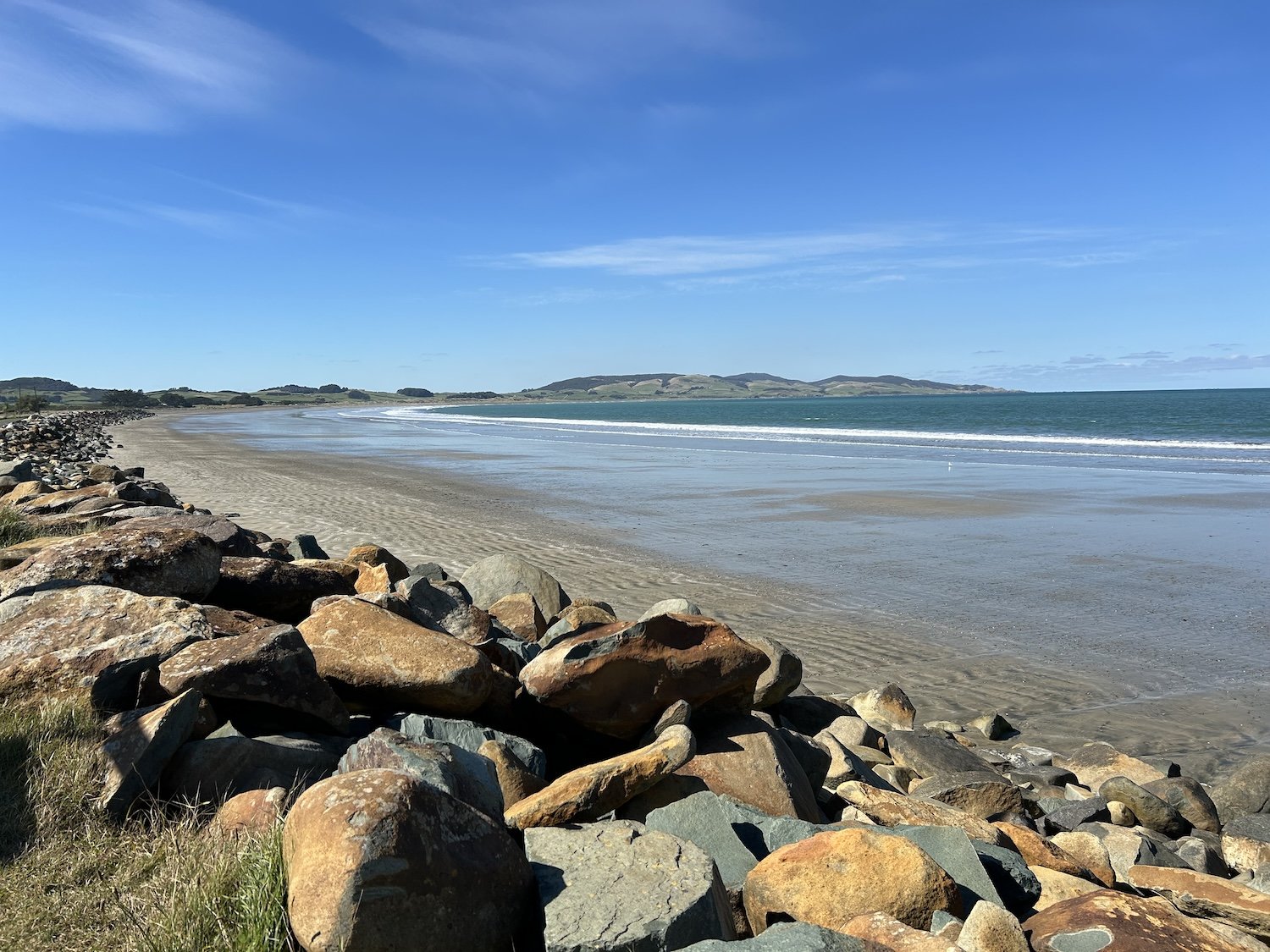

Riverton
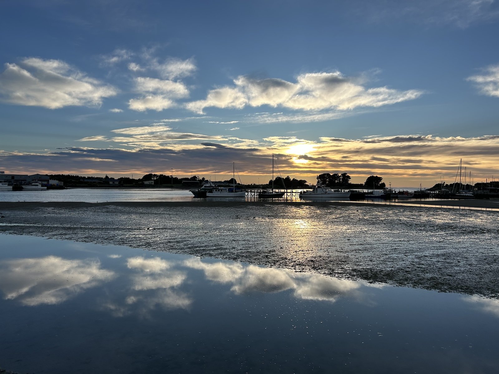


Photo taken by a girl at the view point
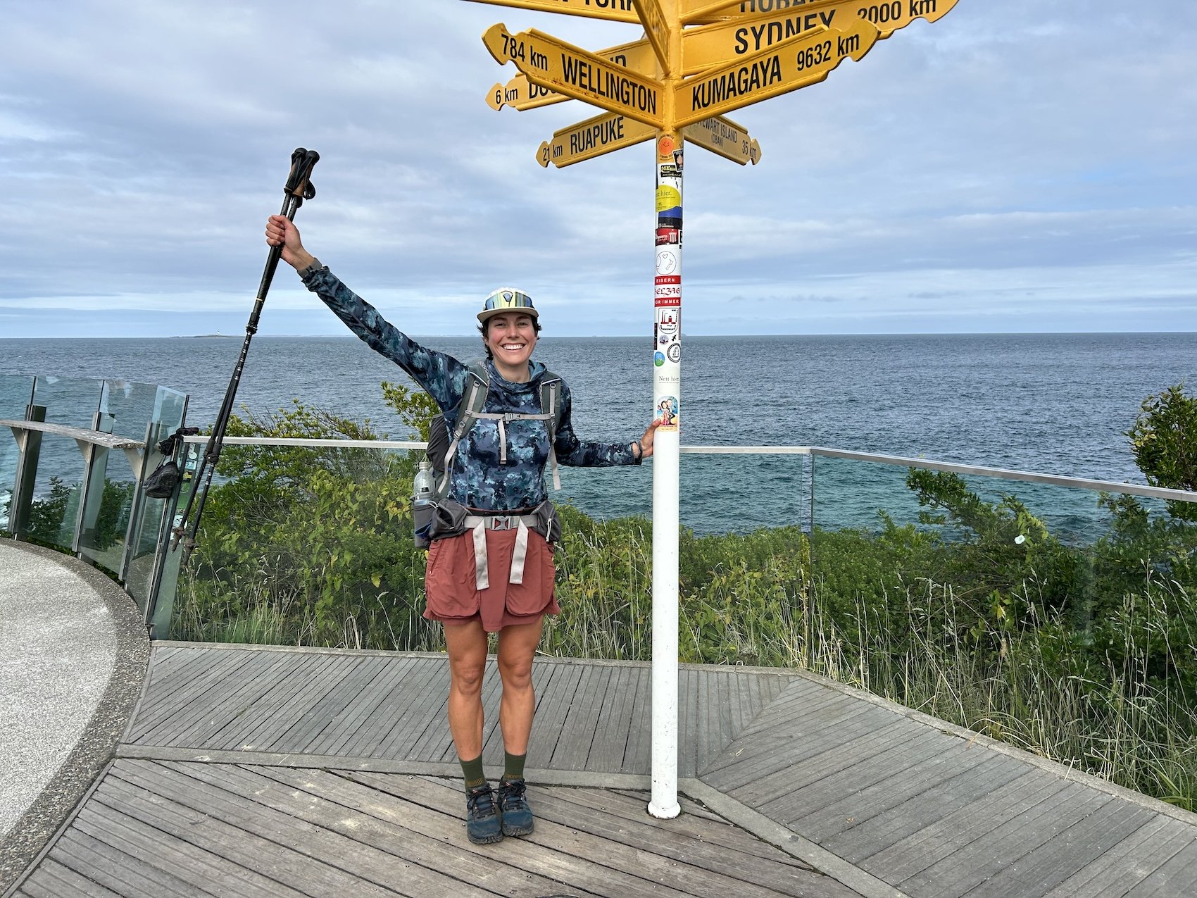
Photo taken by a road biker

Photo taken by a woman at the monument
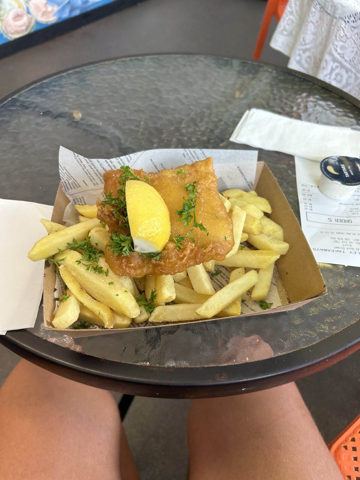
The best fish and chips of the trip in Bluff