

The Grand Enchantment Trail
03/24/25—05/02/25
I walked 837 miles from Phoenix, AZ, to Albuquerque, NM, over the course of 40 days. These were some of the hardest miles I’ve ever walked, completing this trail—recommitting to it every day, even when I was scared, exhausted, and feeling defeated—was the most challenging thing I’ve ever done.
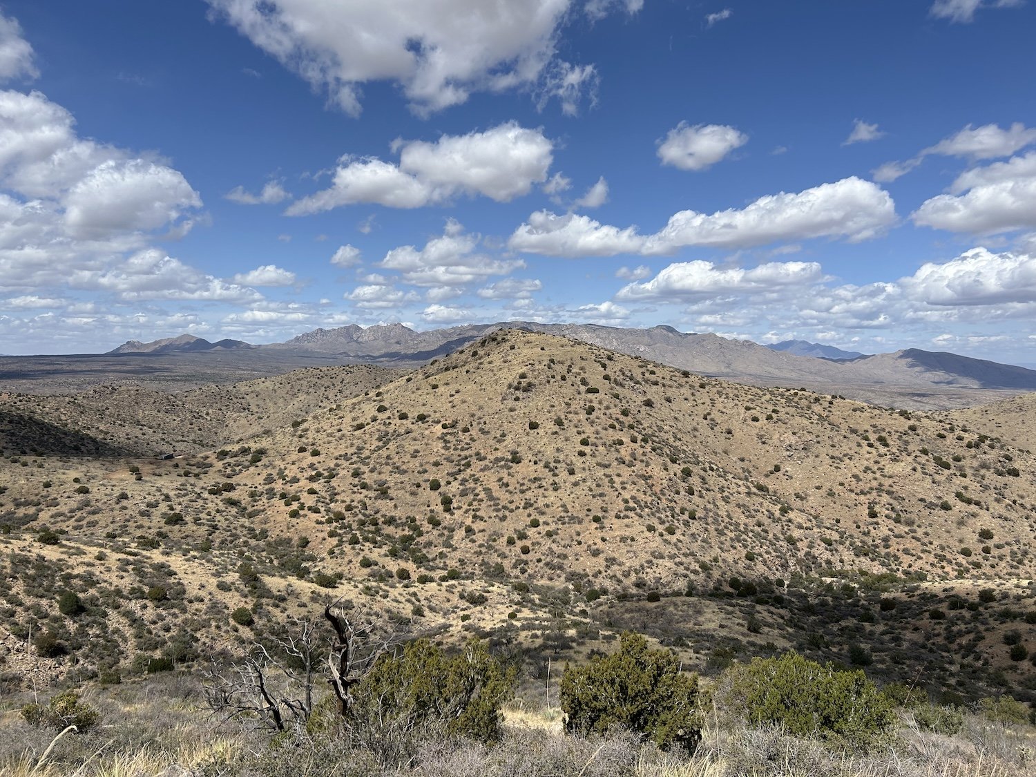
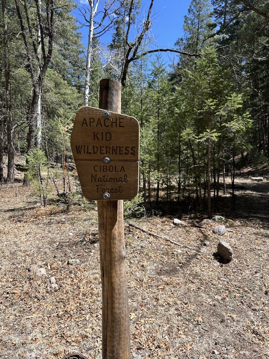
The GET involves long stretches of cross country travel, plenty of burn-scar hiking, long stretches without any water, and plenty of opportunity for critical decision making in a wilderness setting. I traveled across the Sonoran and Chihuahuan Deserts, traversed the Superstition Wilderness, White Canyon Wilderness, Aravaipa Wilderness, Pinaleño Mountains, Old Safford-Morenci Trail, Eagle Creek, Painted Bluffs Primitive Route, San Francisco Mountains, Gila Wilderness, Mogollon Mountains, Aldo Leopold Wilderness Area, Black Range, Apache Kid Wilderness, San Mateo Mountains, Magdalena Mountains, Manzano Mountains, Sandia Mountains and every dry basin in between.
My favorite parts of this trail were walking in the crystal clear waters of Aravaipa Creek, seeing a black bear scratching themself on a big ol’ Ponderosa tree along upper Diamond Creek, and a special encounter I had with a horny toad on the climb up Grassy Lookout.
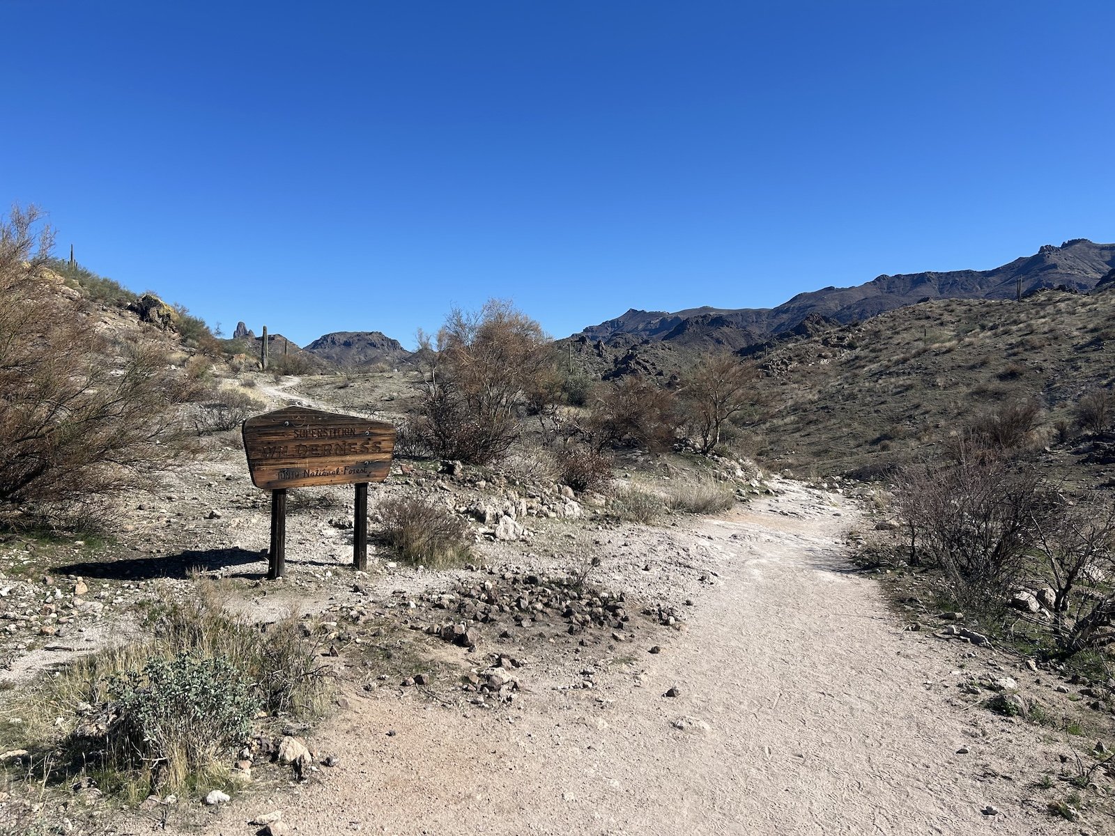
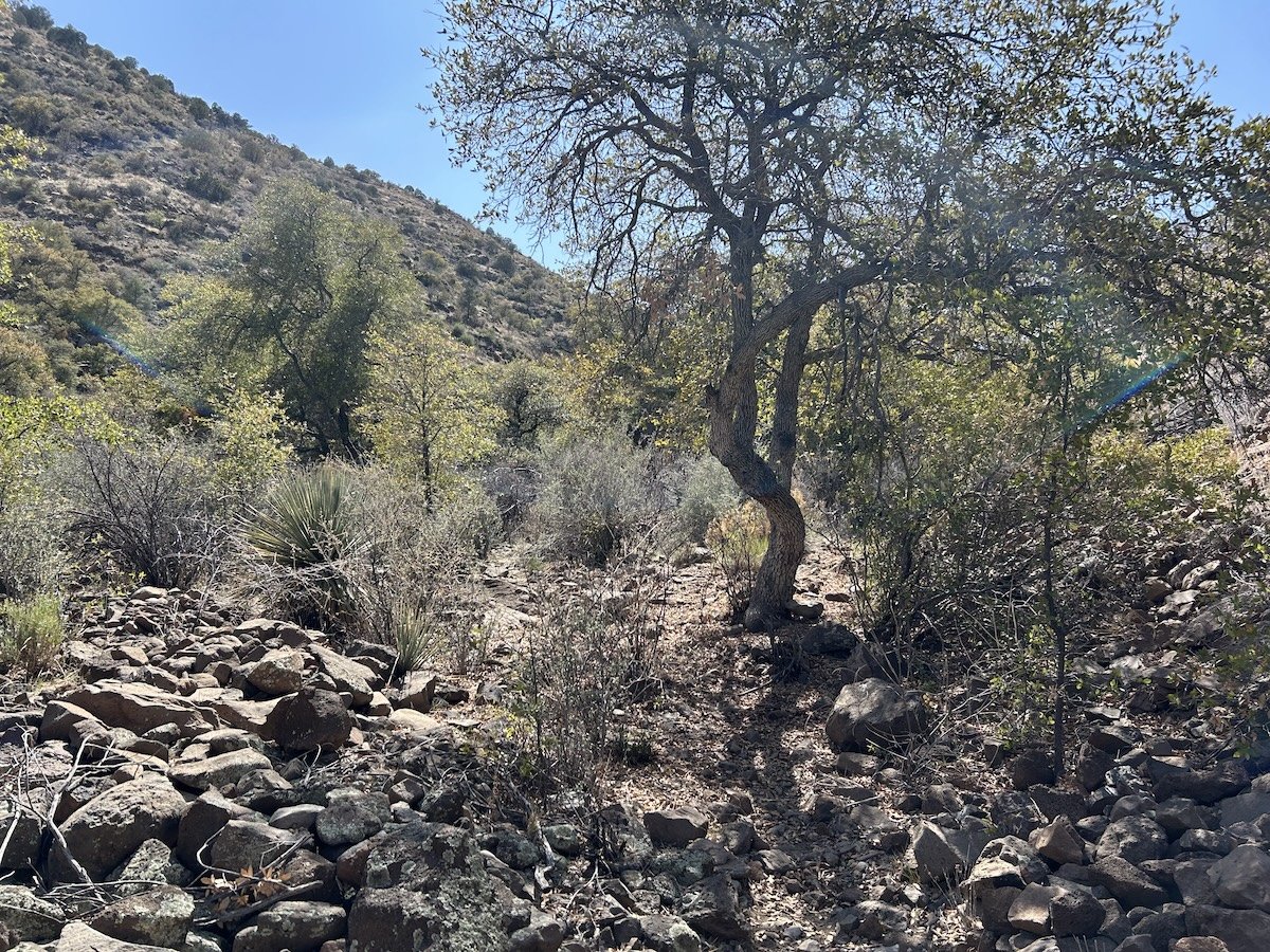
Water Canyon Trailhead

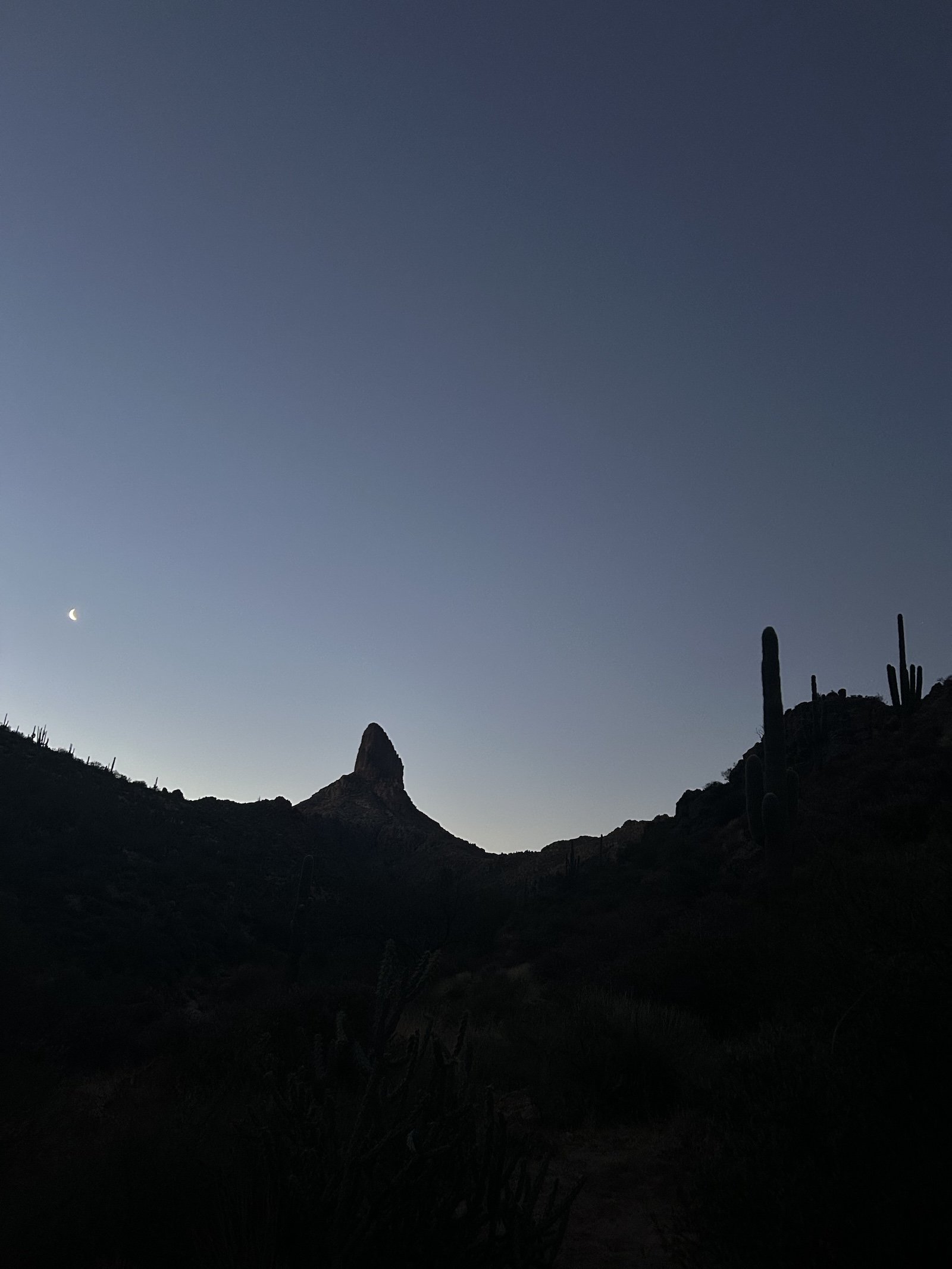


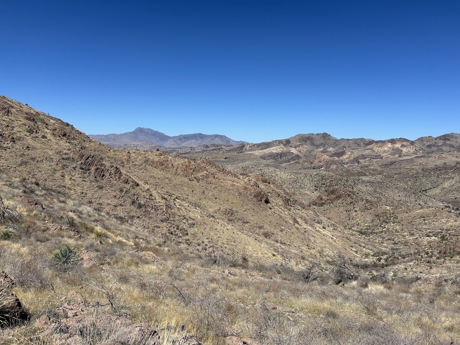

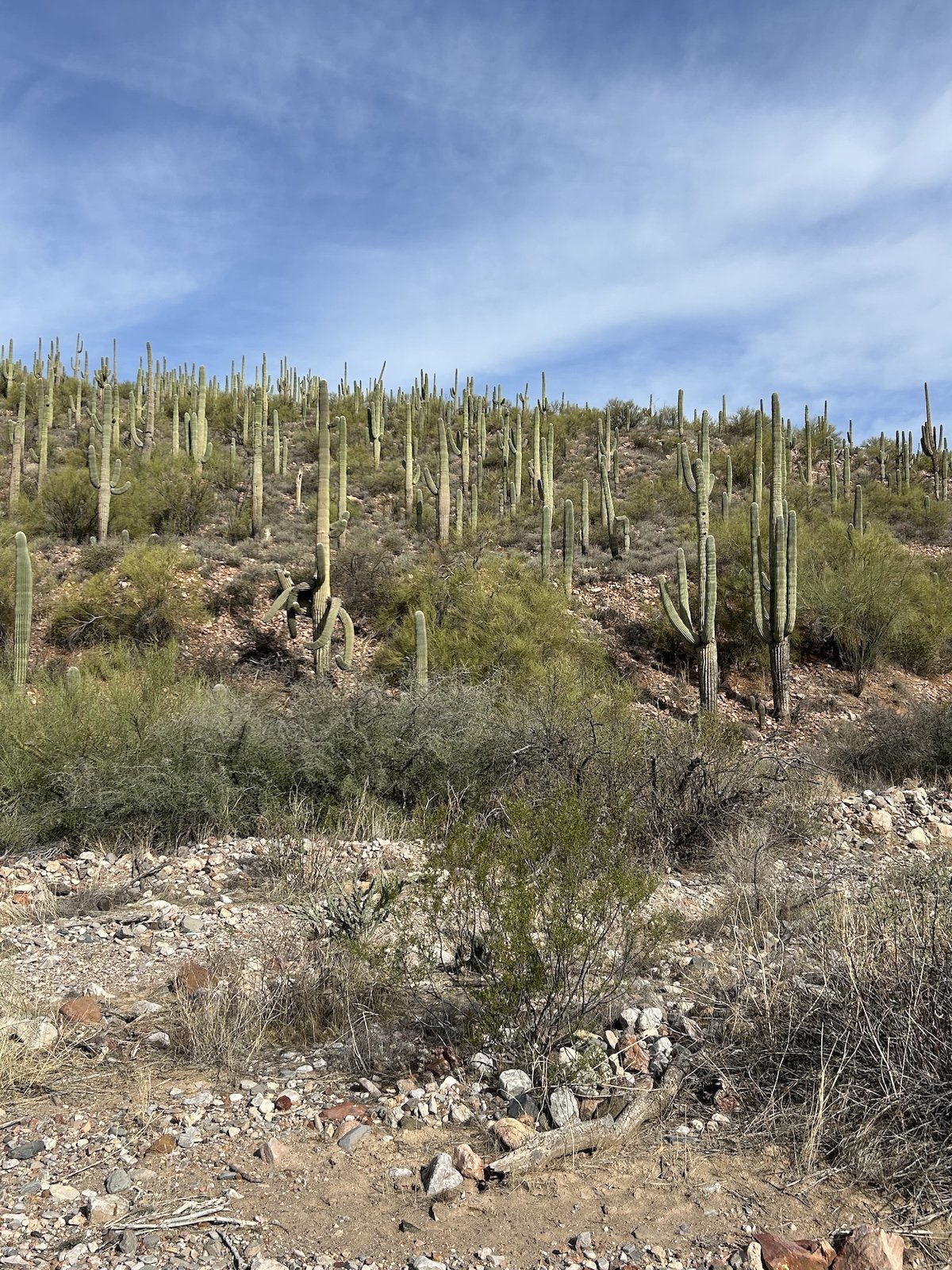
Sunset in the Superstition Wilderness
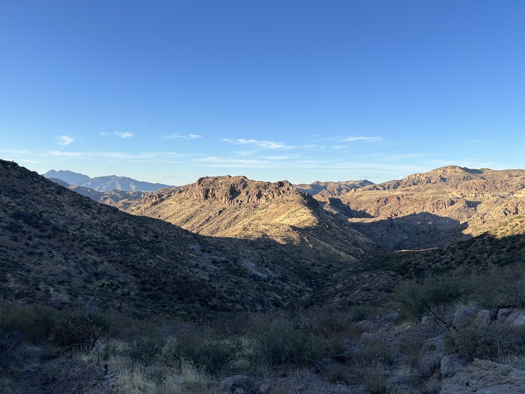
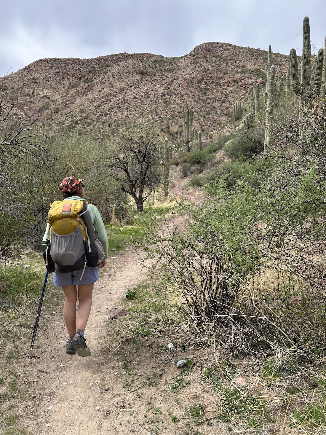
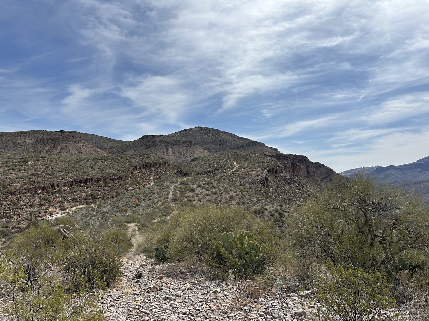
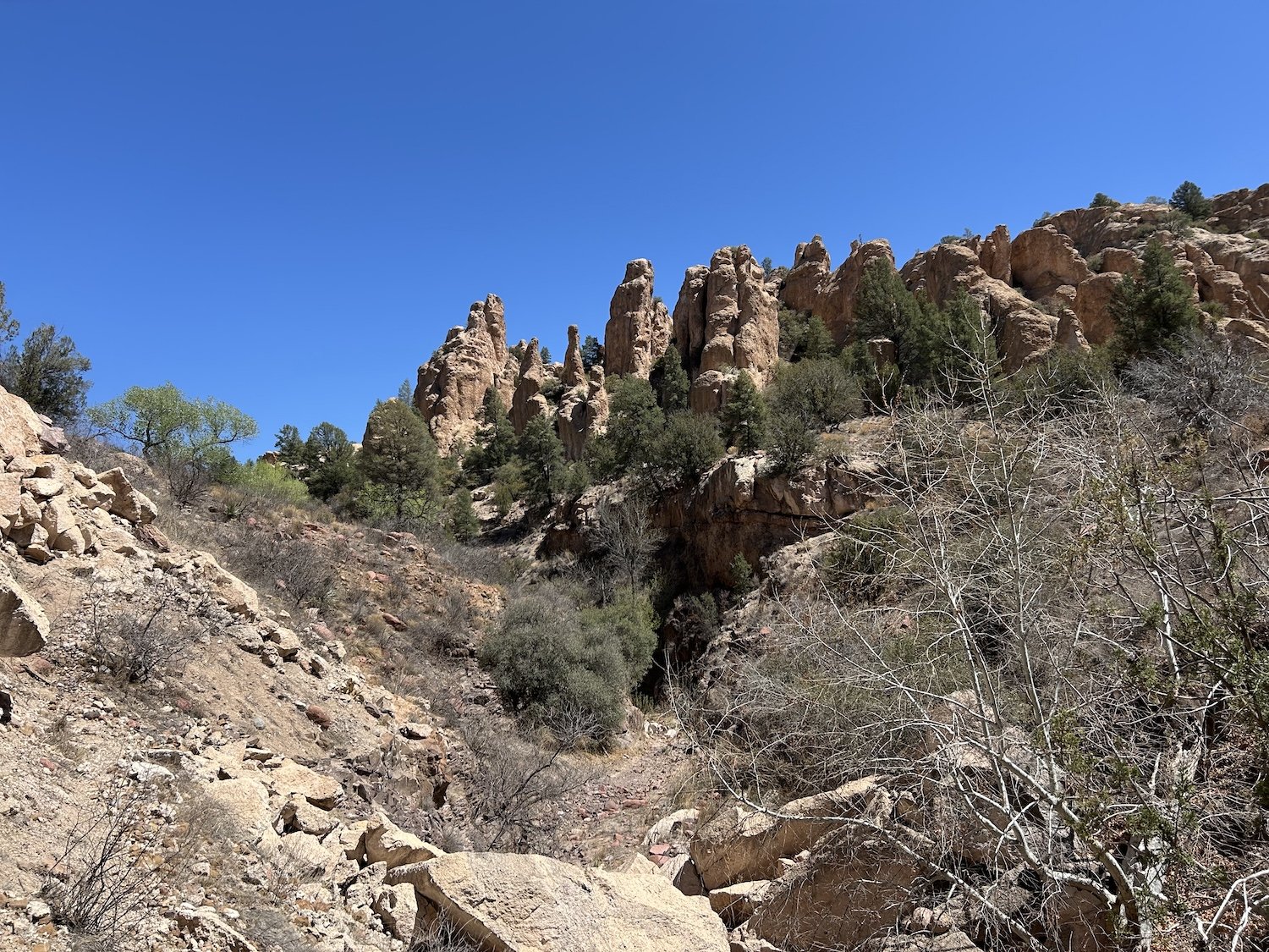
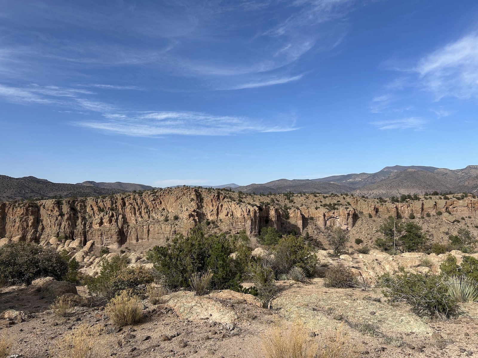
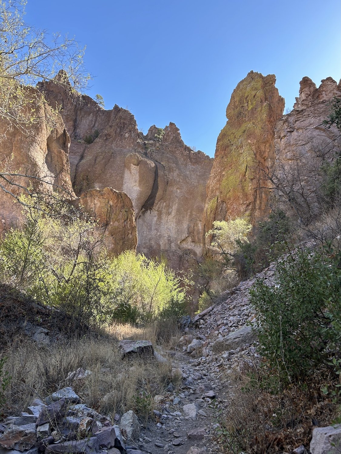
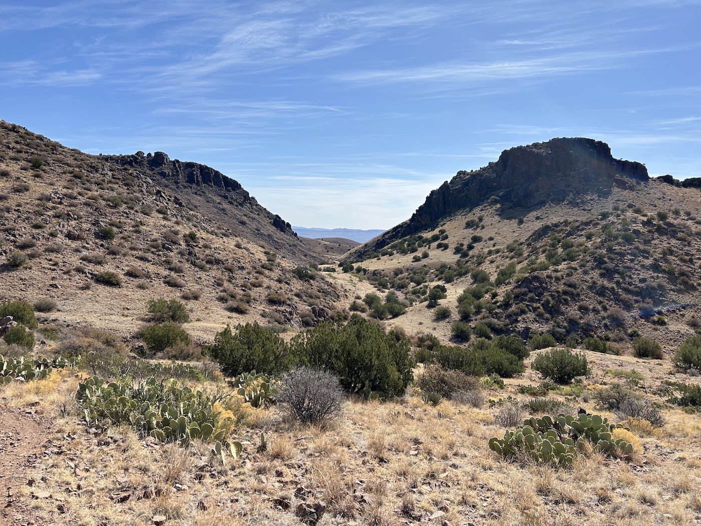
Angel Basin

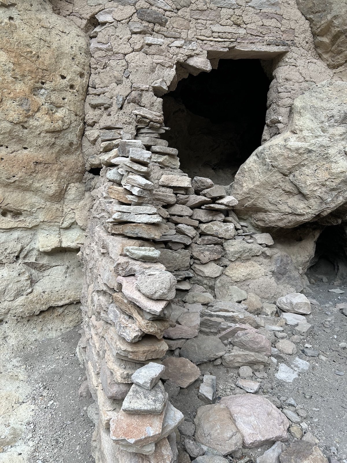
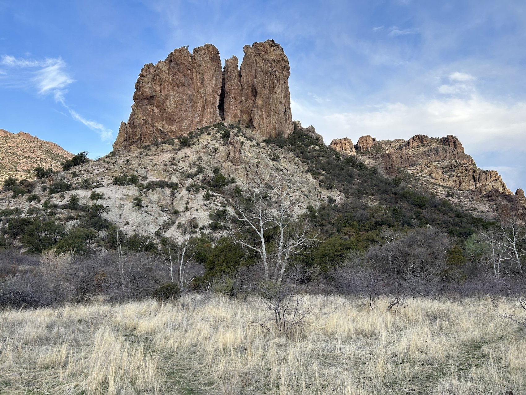
Roger's Canyon Cliff Dwelling

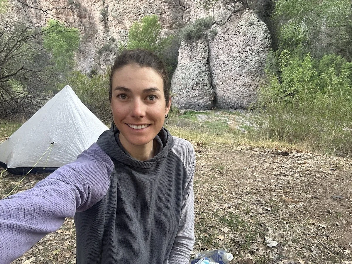
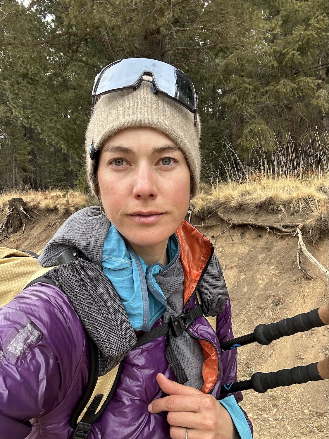
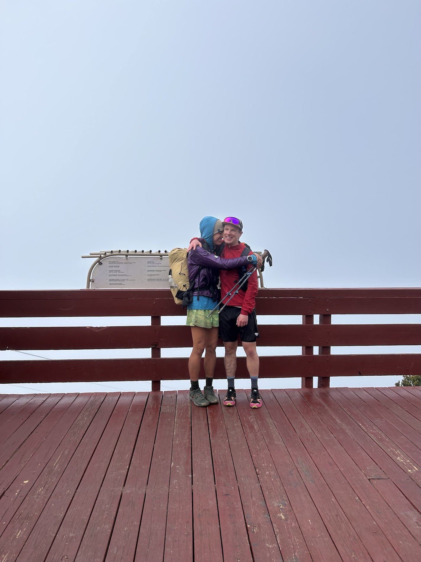
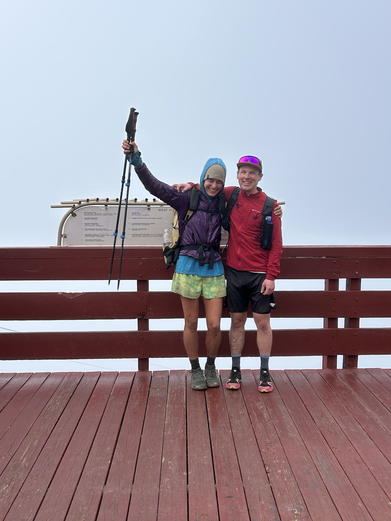
I found Sara Spolrich!

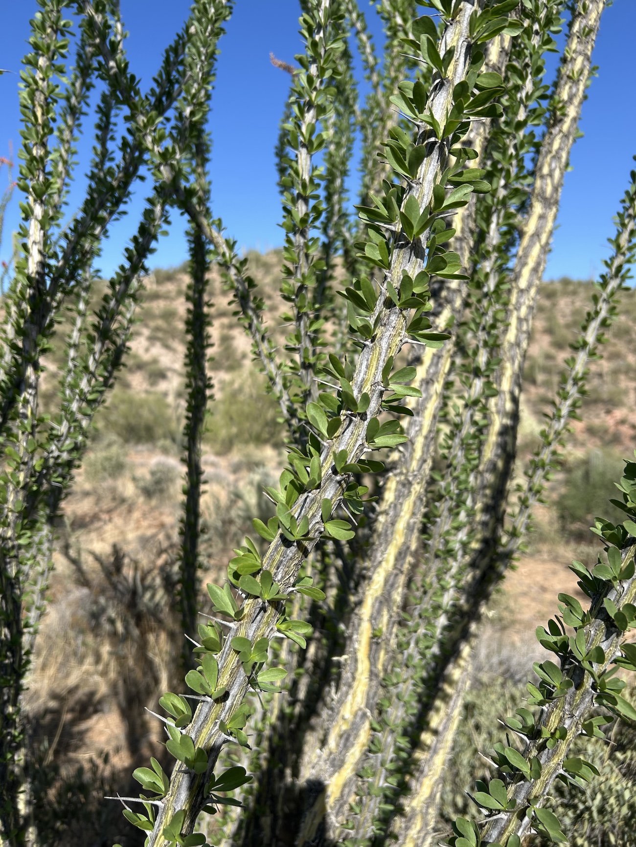
Ocotillo in bloom

heat rash coming into Superior


Walnut Canyon

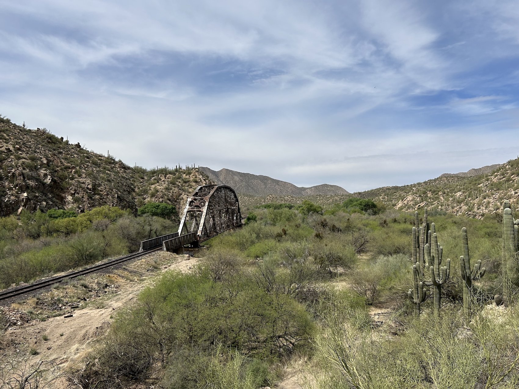
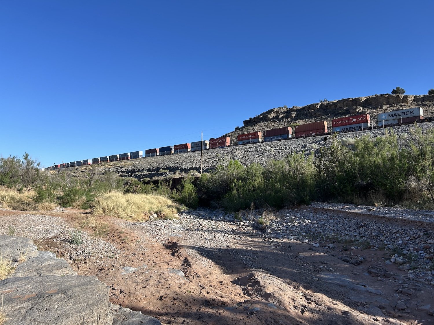
Railway near Kearney
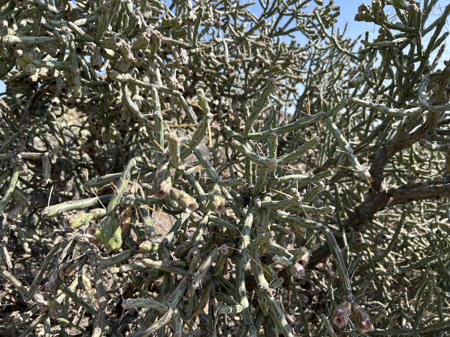
pencil cholla
Putnam Wash
San Pedro River
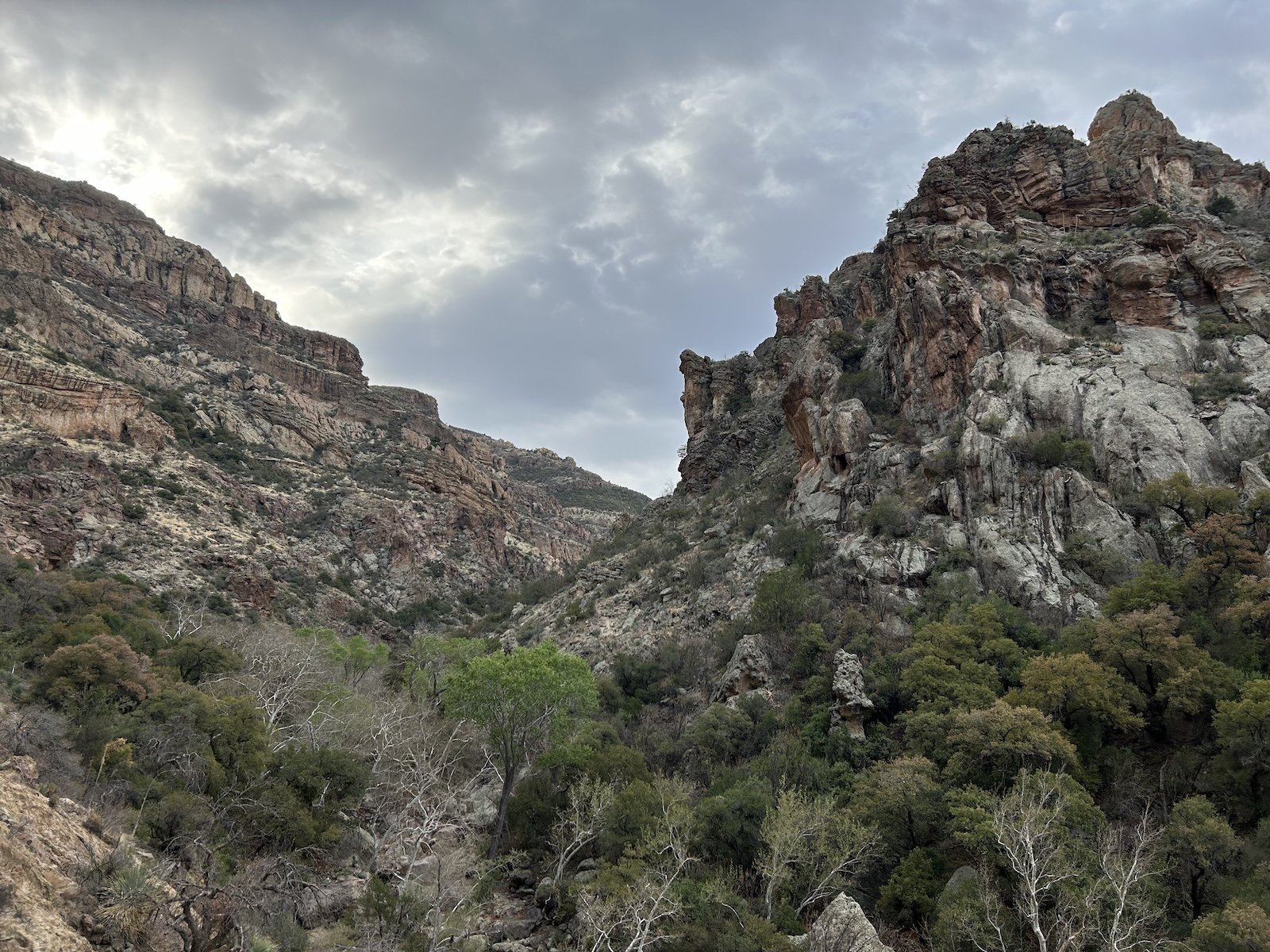
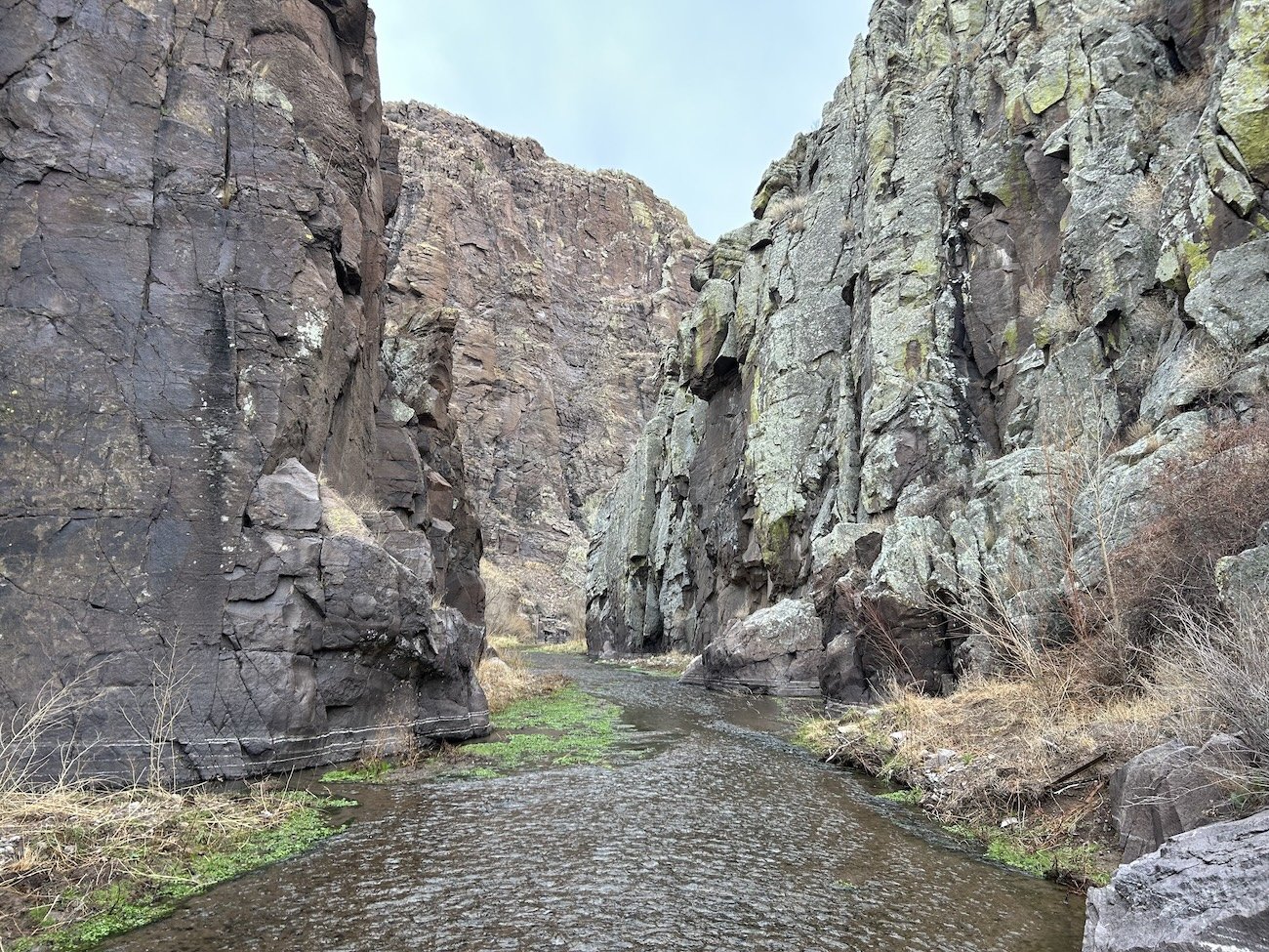
Aravaipa Canyon Wilderness
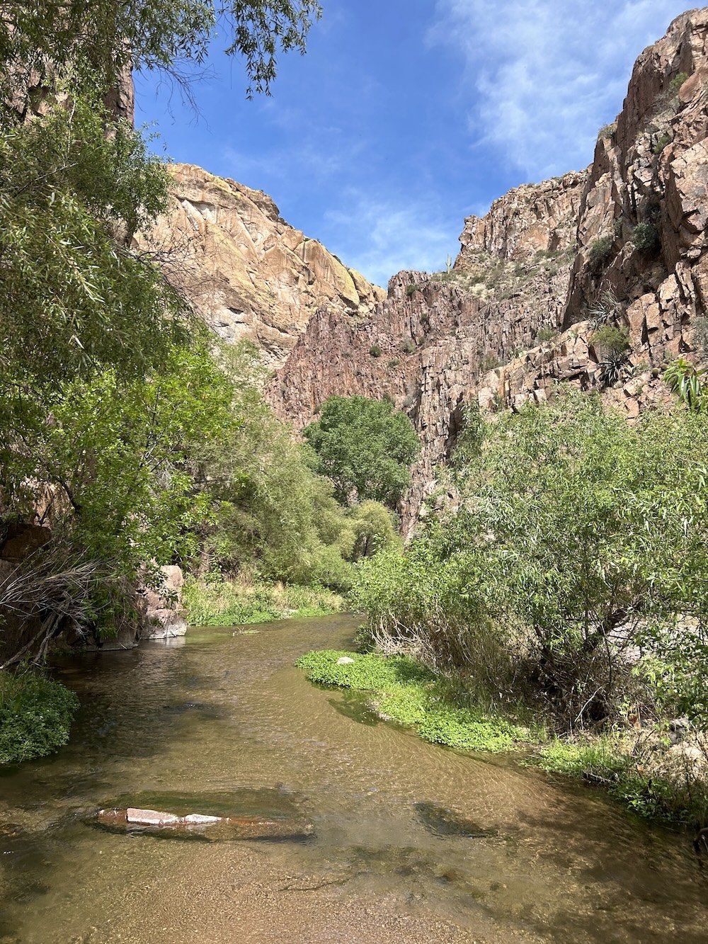

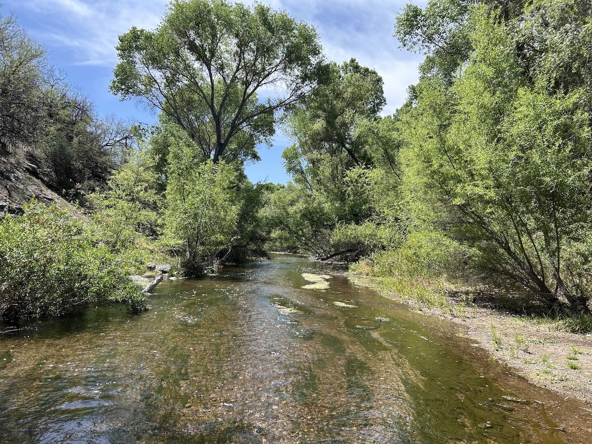
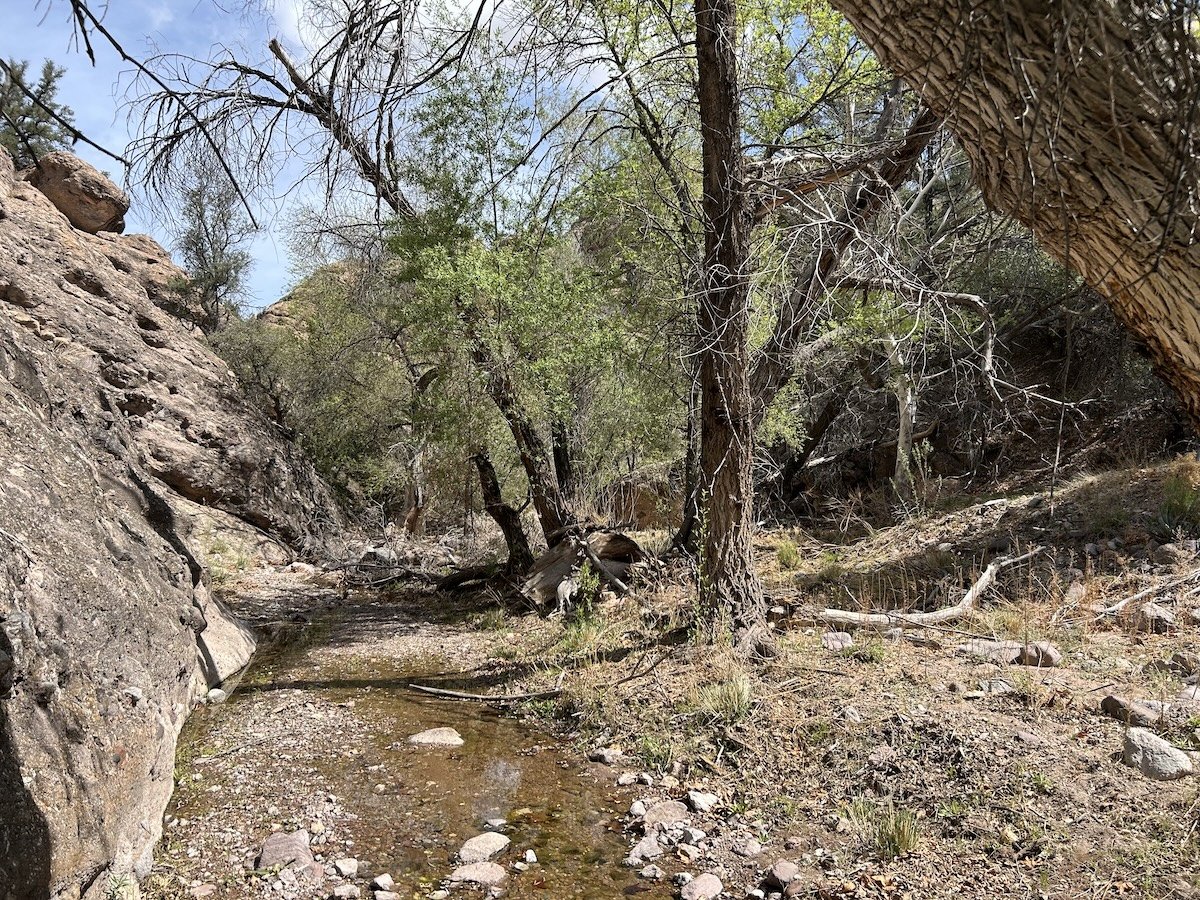
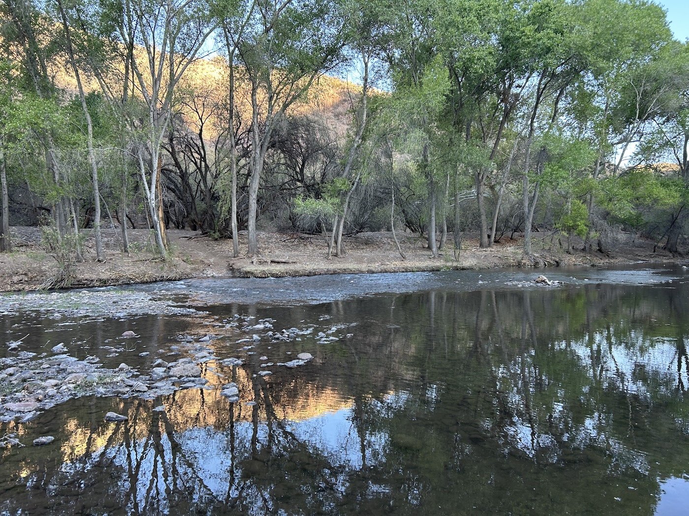
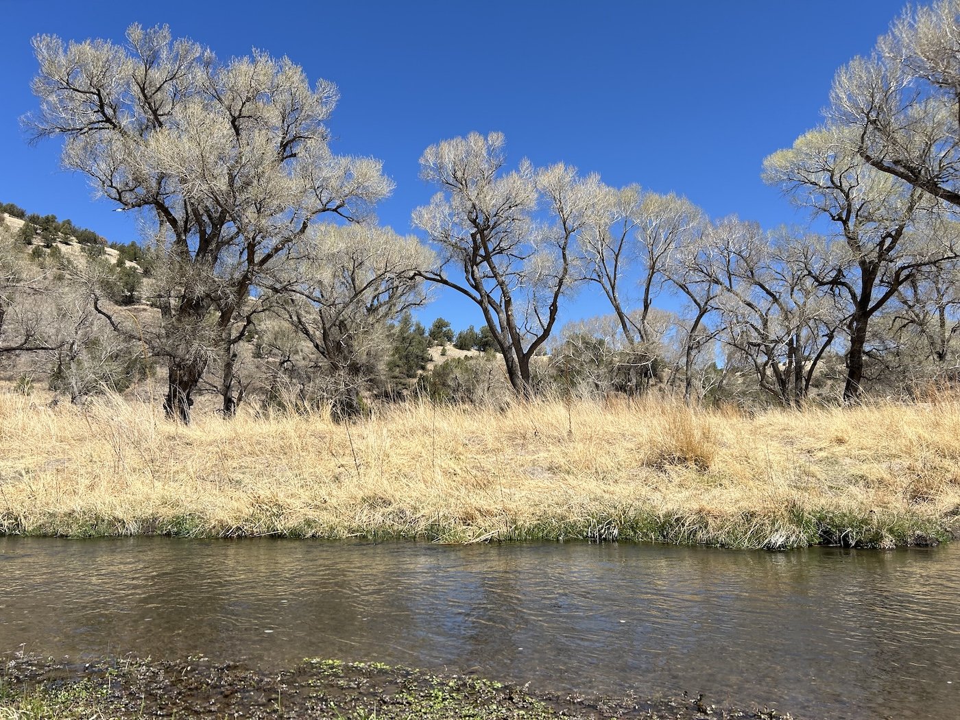
Aravaipa Creek

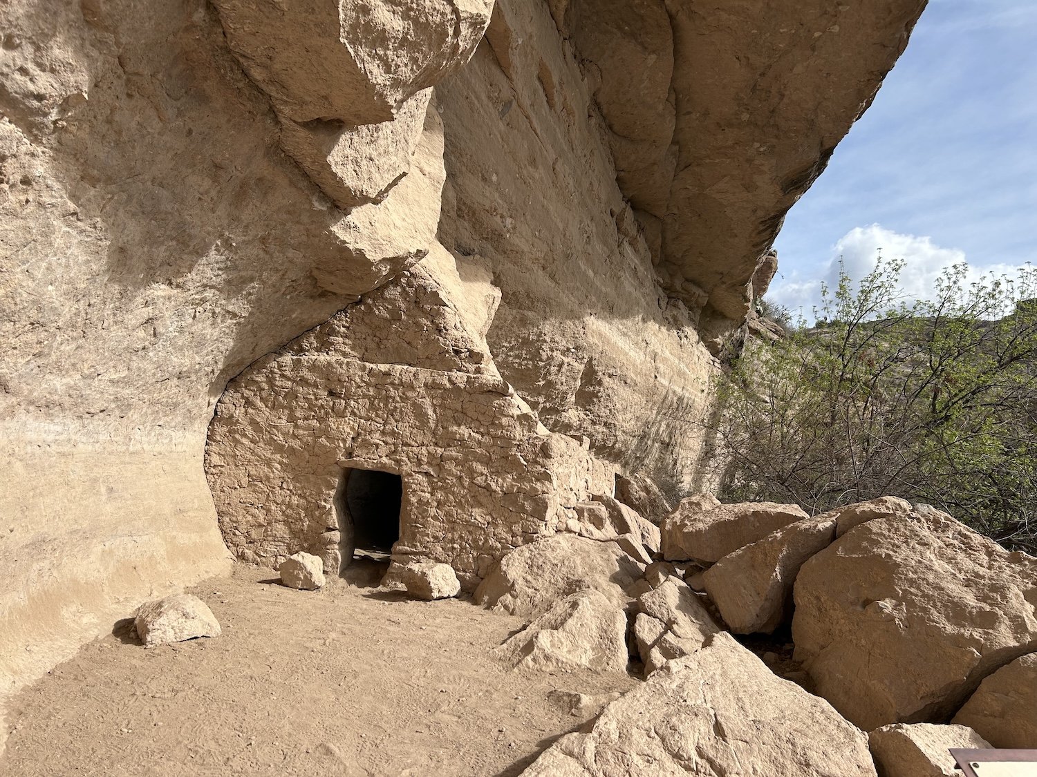
ancient Salado Ruin
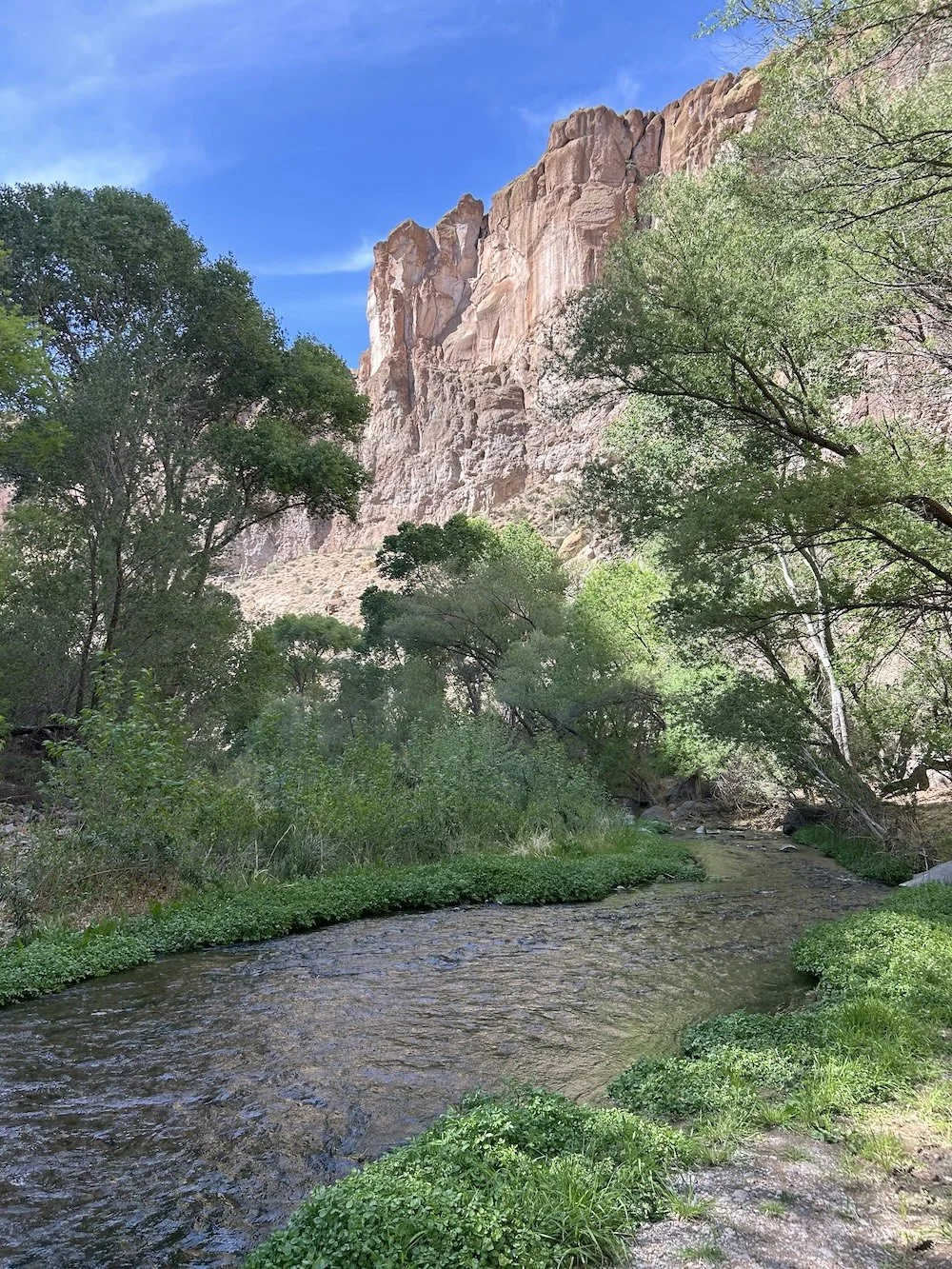
Turkey Creek


Klondyke General Store

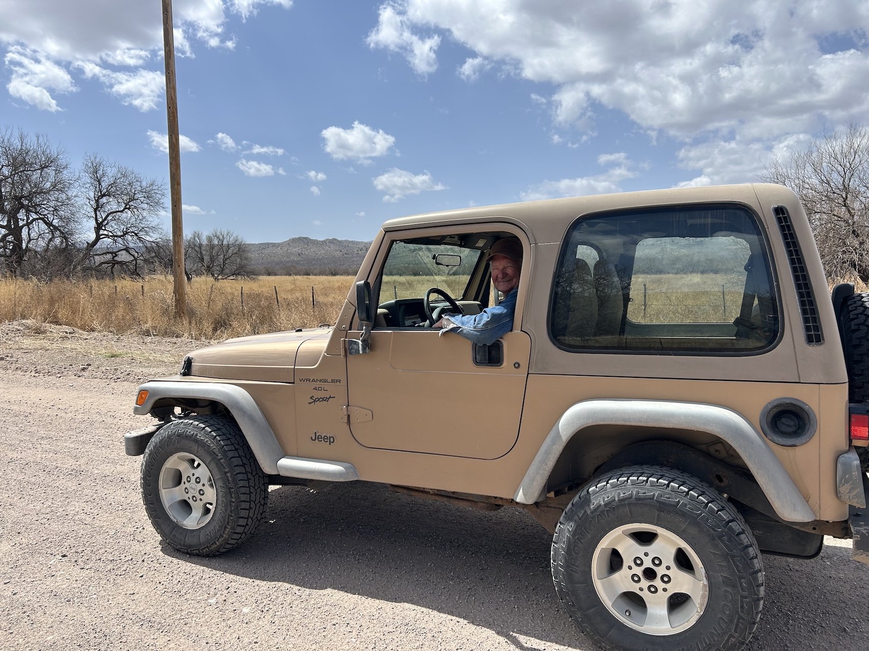
LeeRoy in his cool jeep, Klondyke Rd
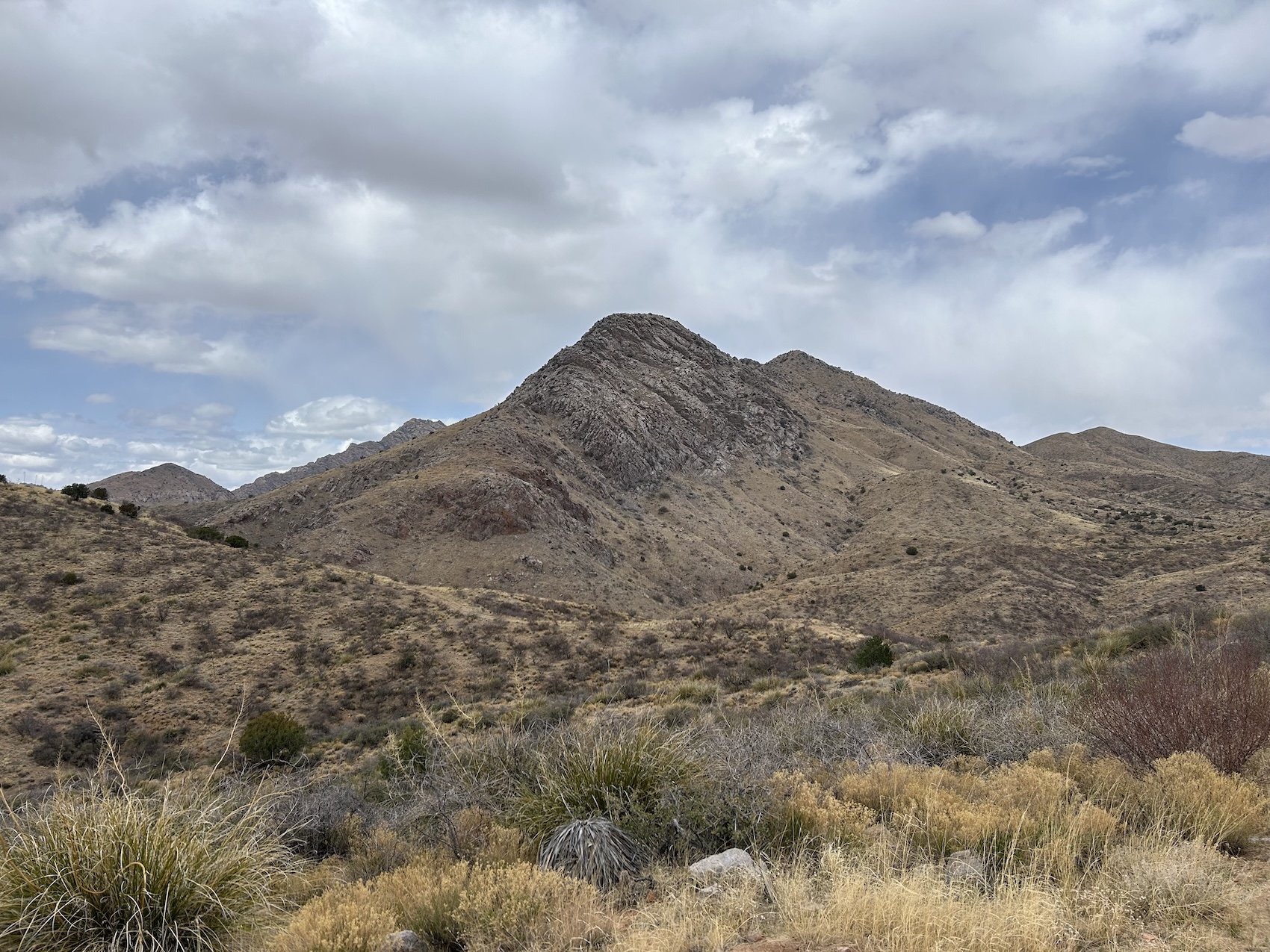


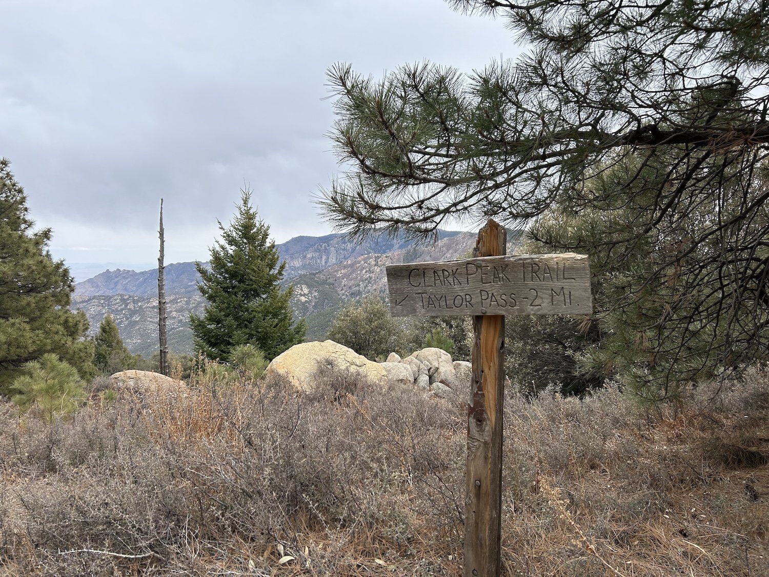
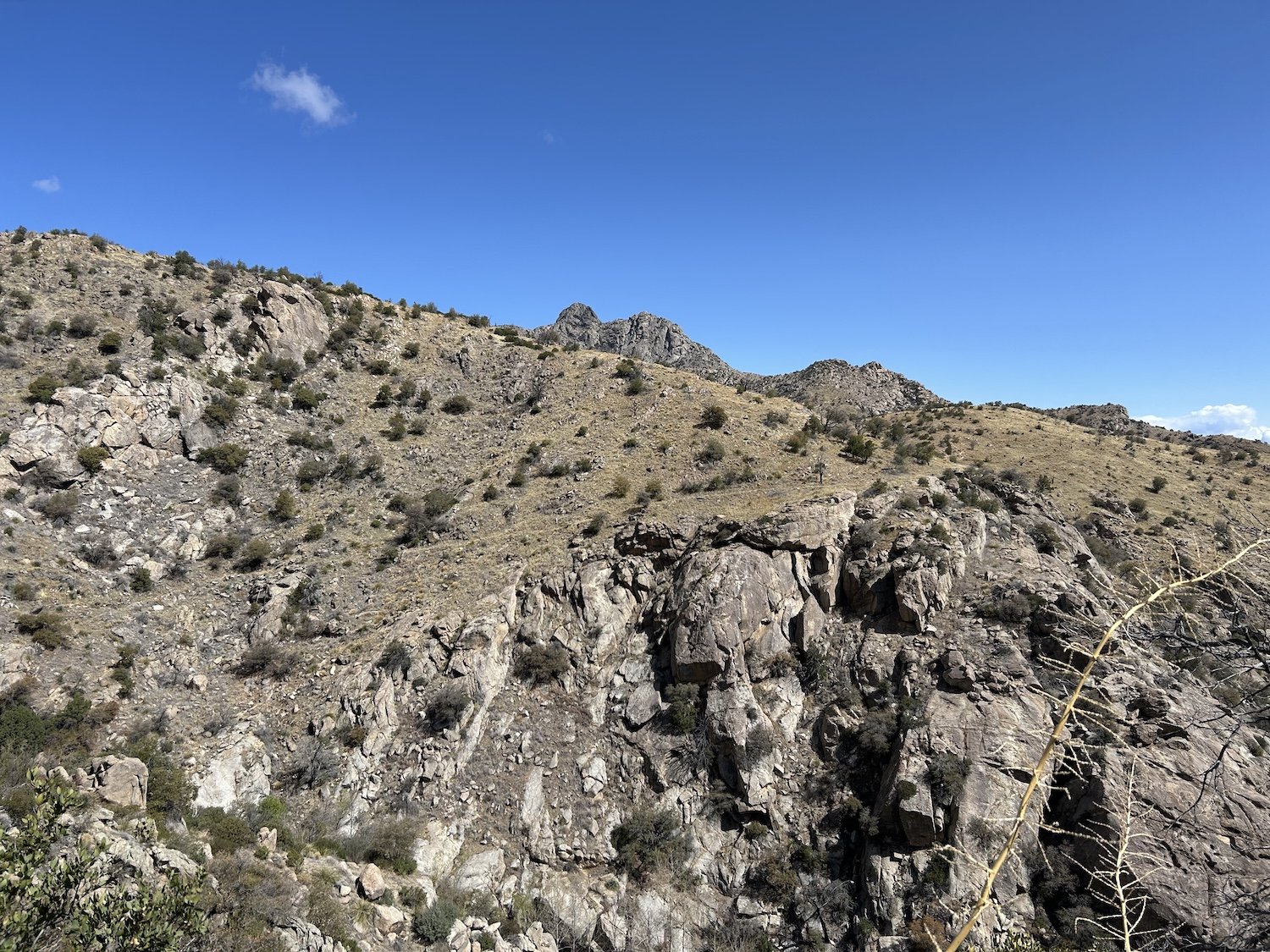
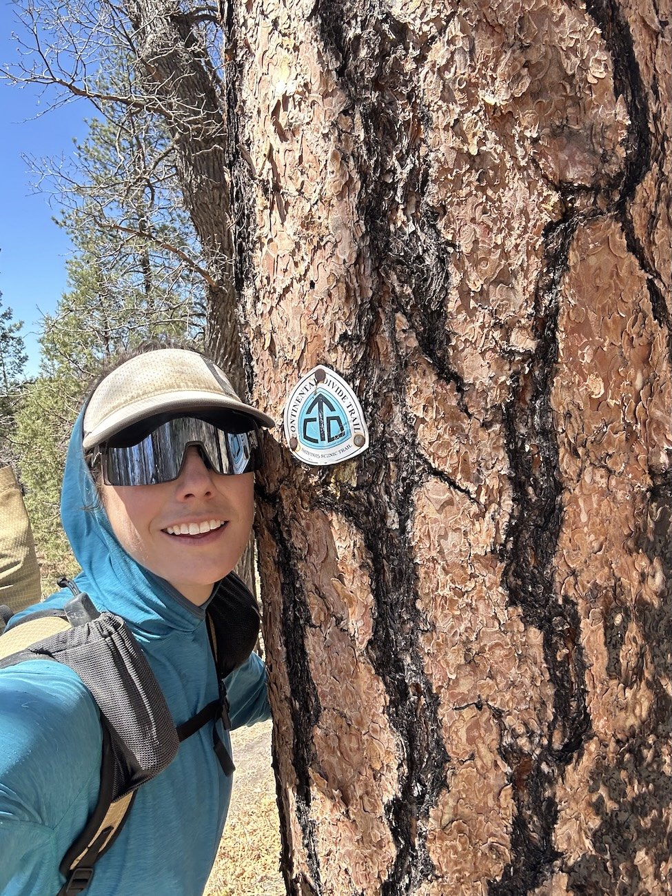
Clark Peak Trail


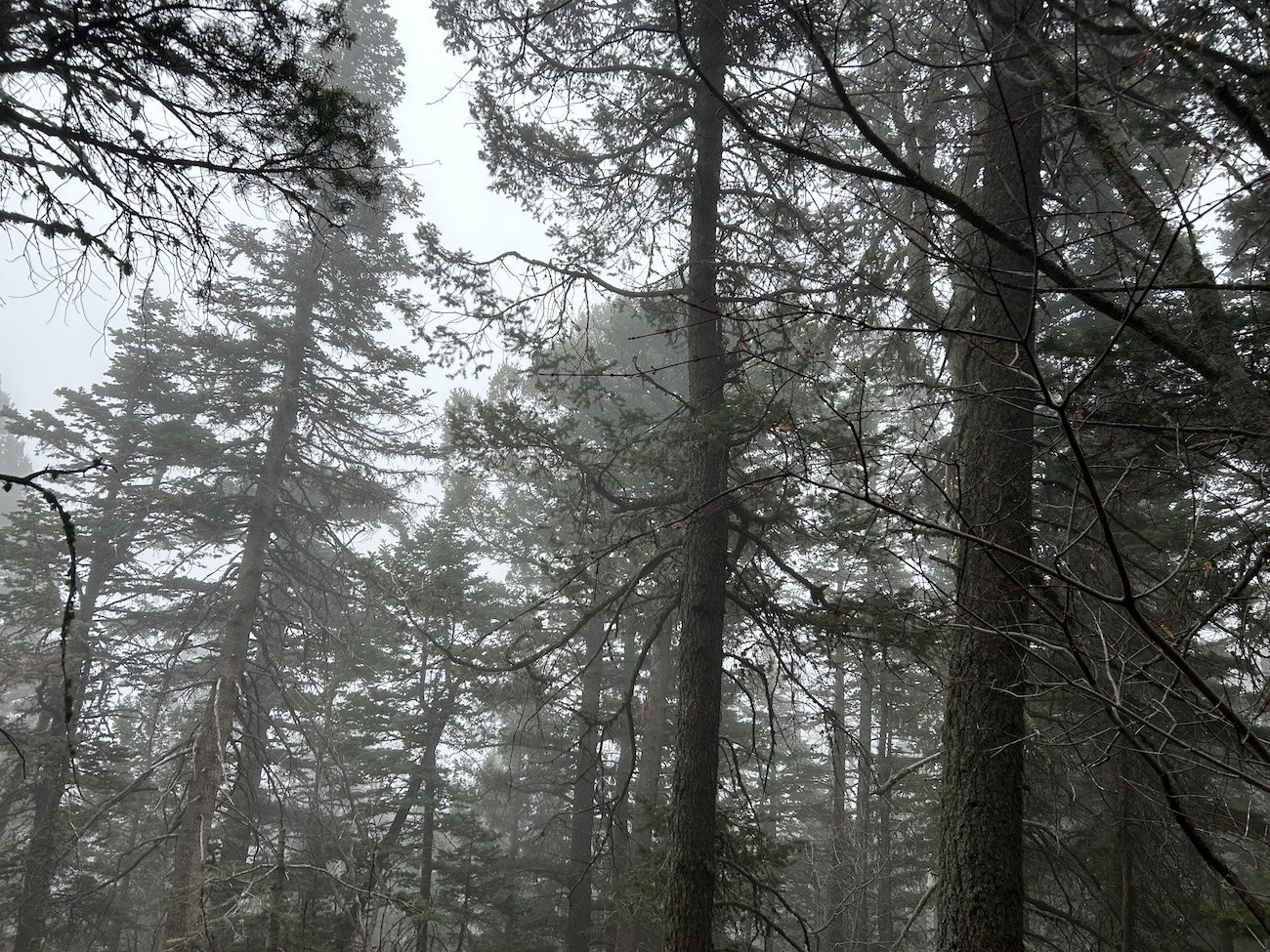
Colder than expected


Joshua Tree on the way into Safford
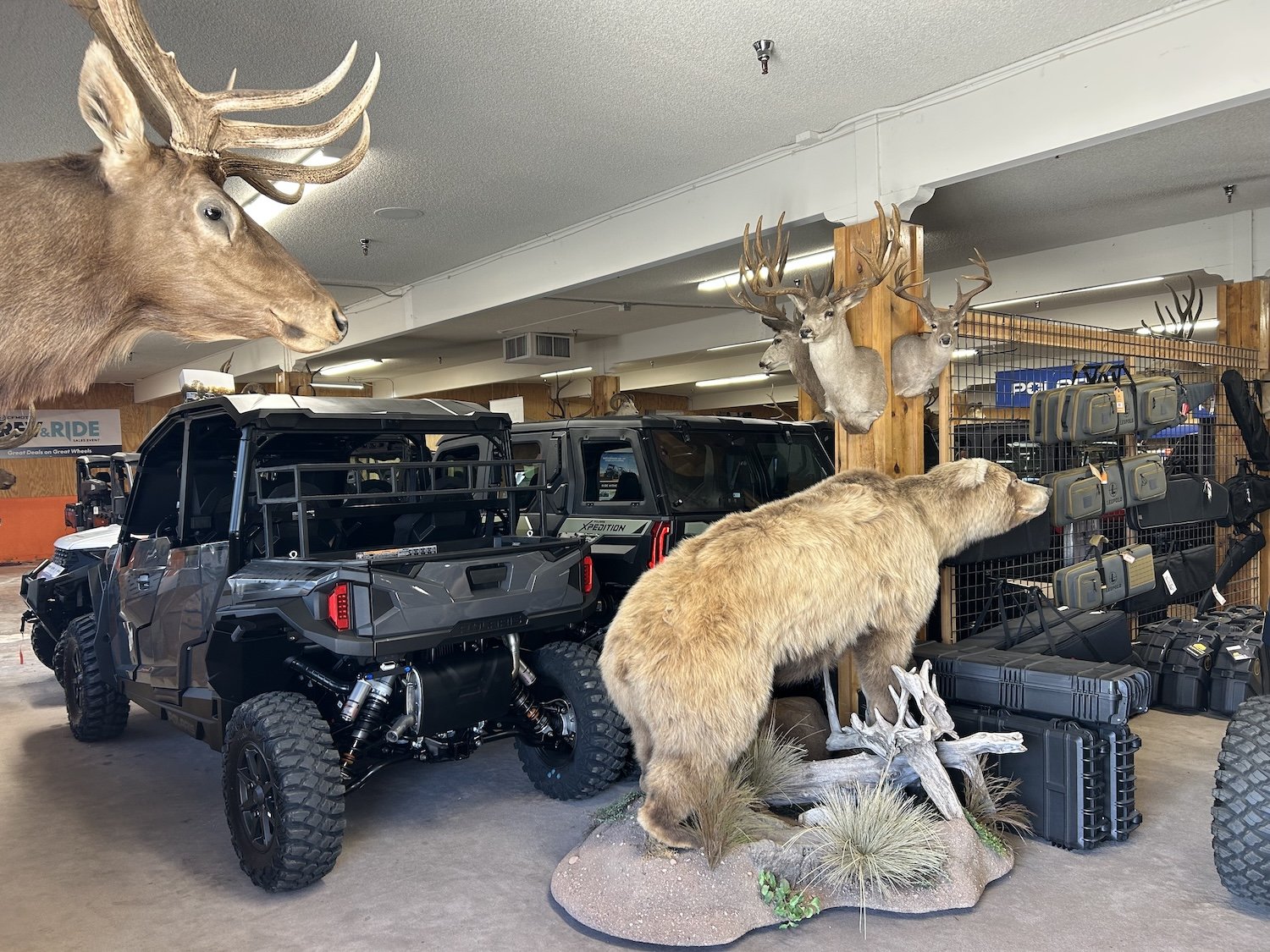
Gila Outdoors

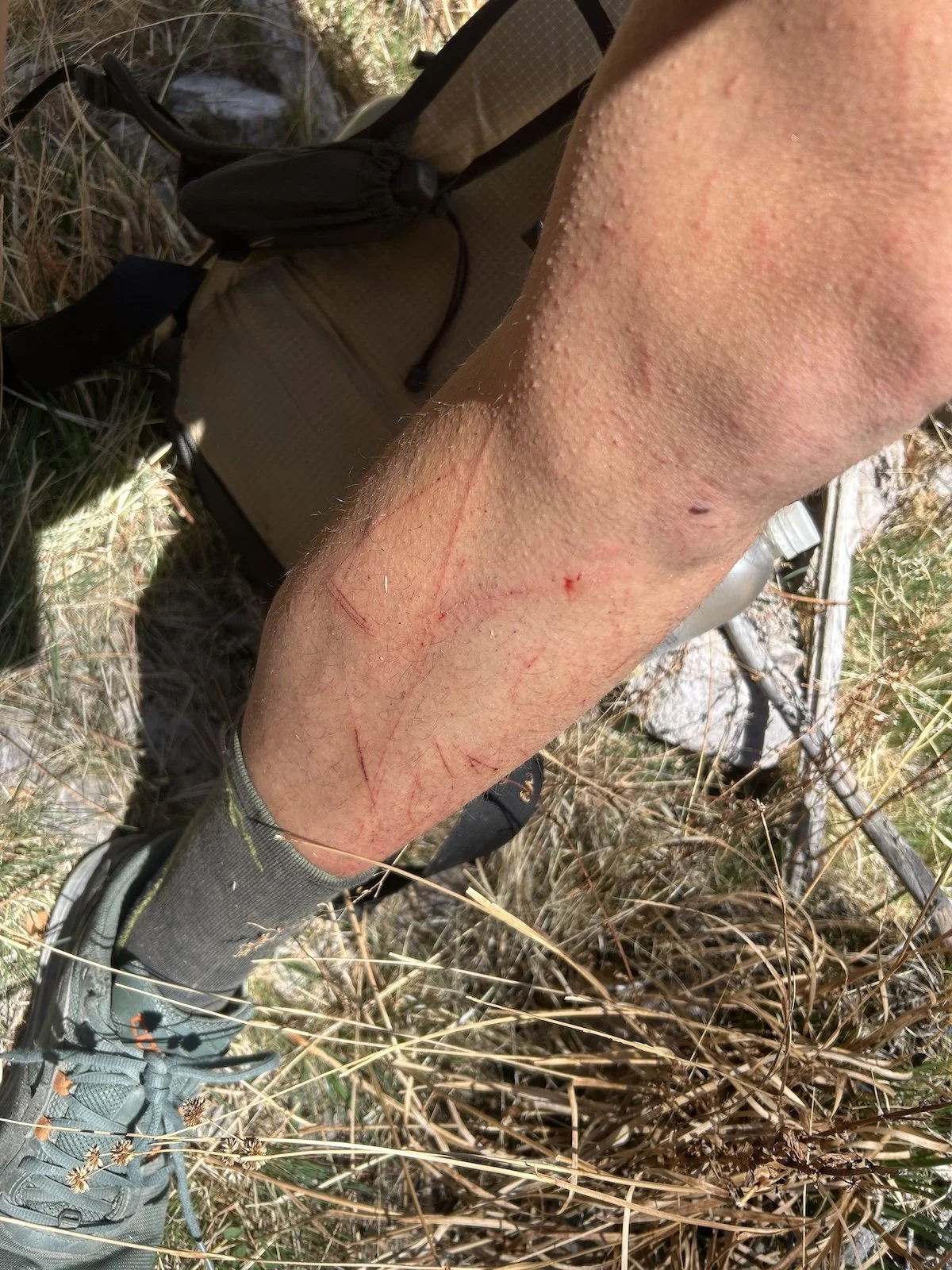
Catclaw scratches

Dirt tan (and real tan)
Cotton Culvert got me

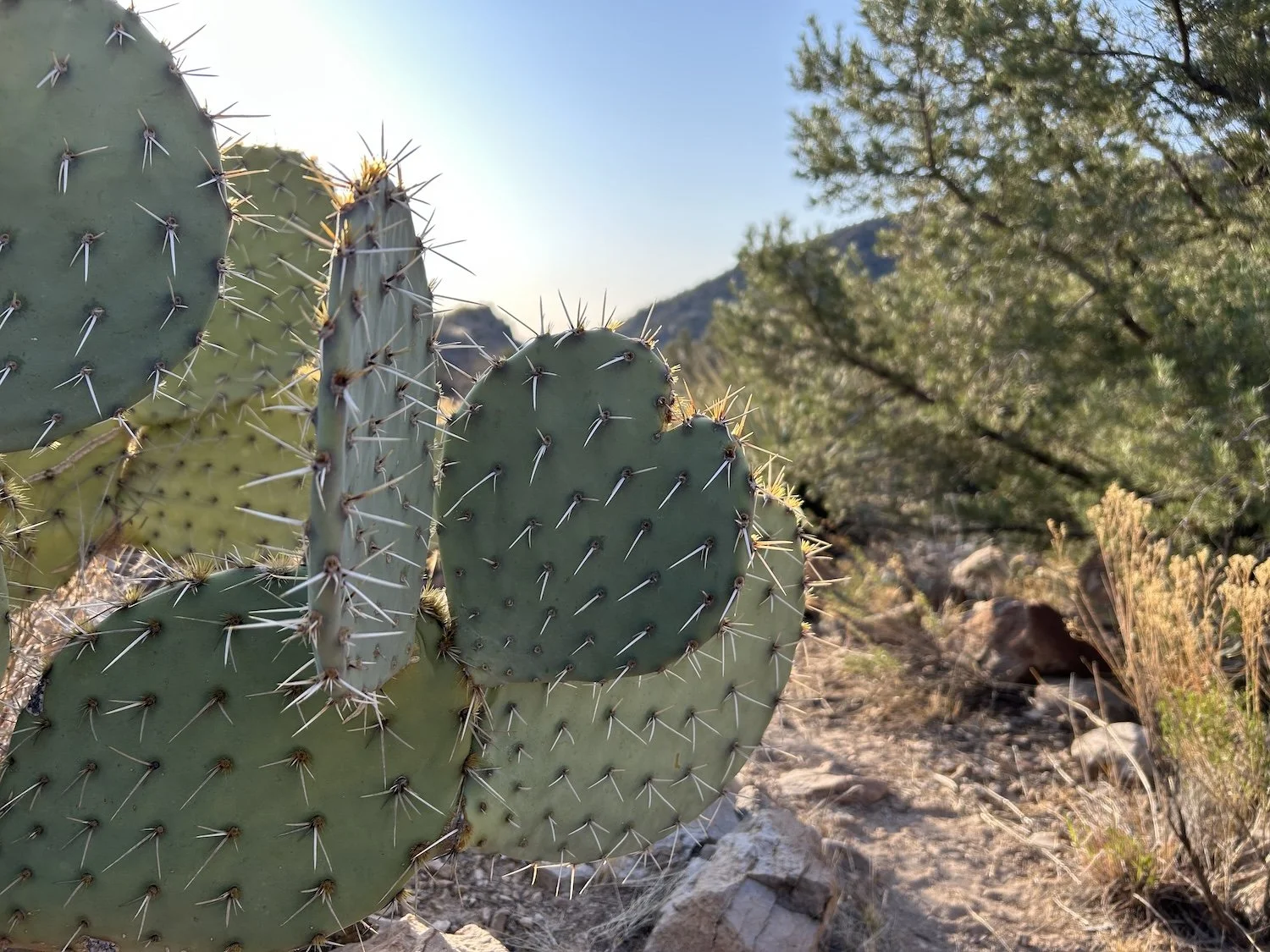
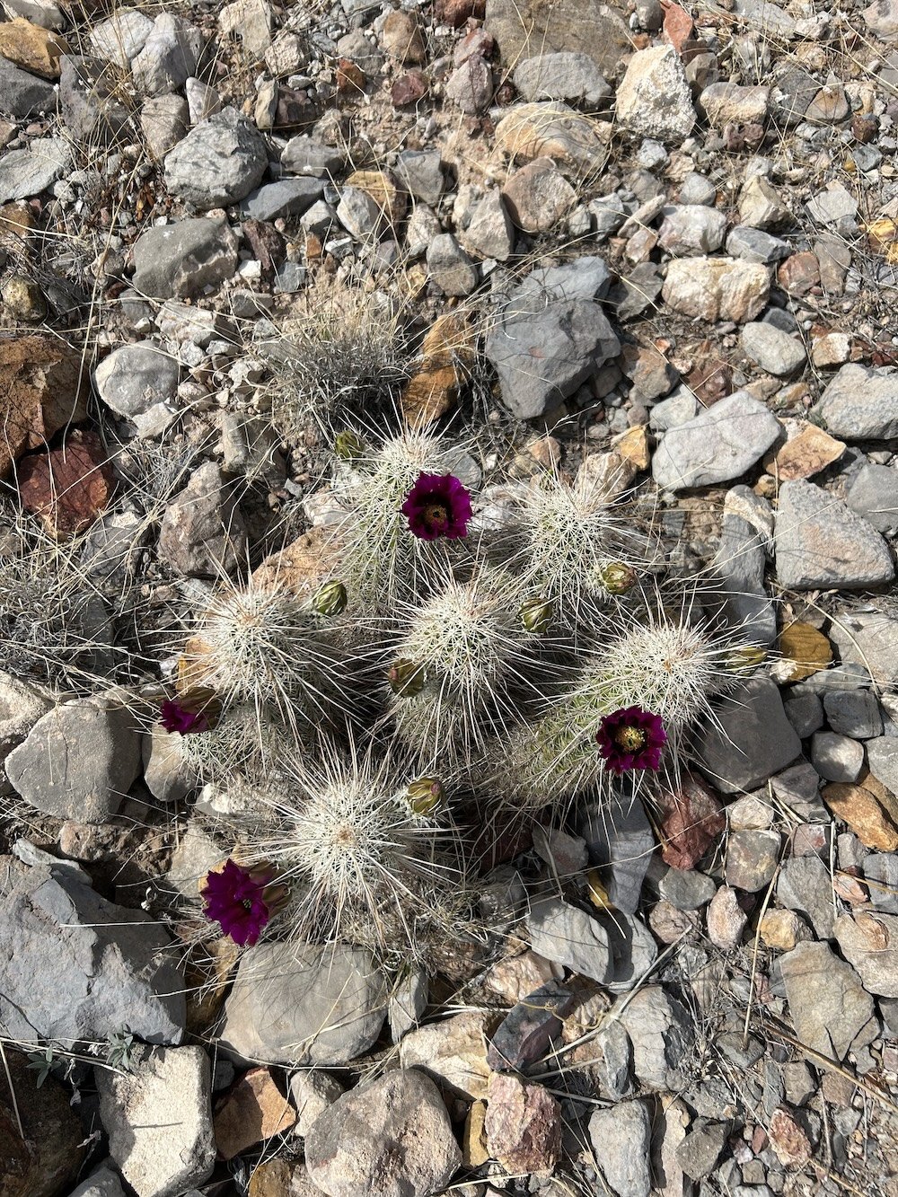
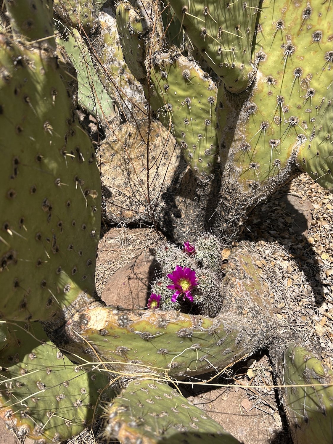
Prickly Pear


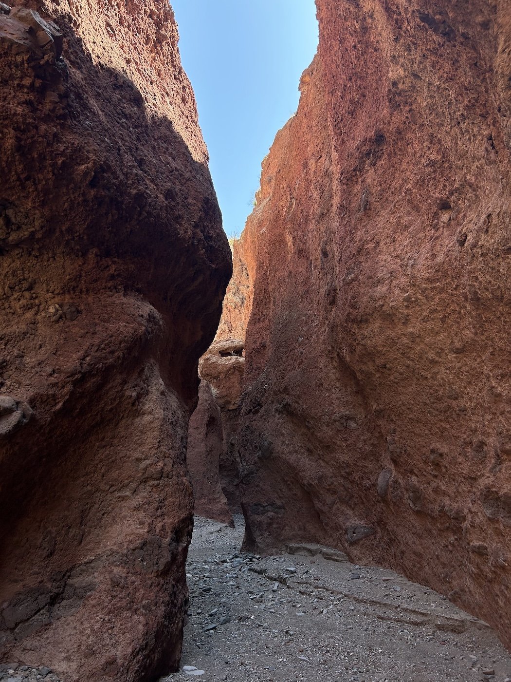
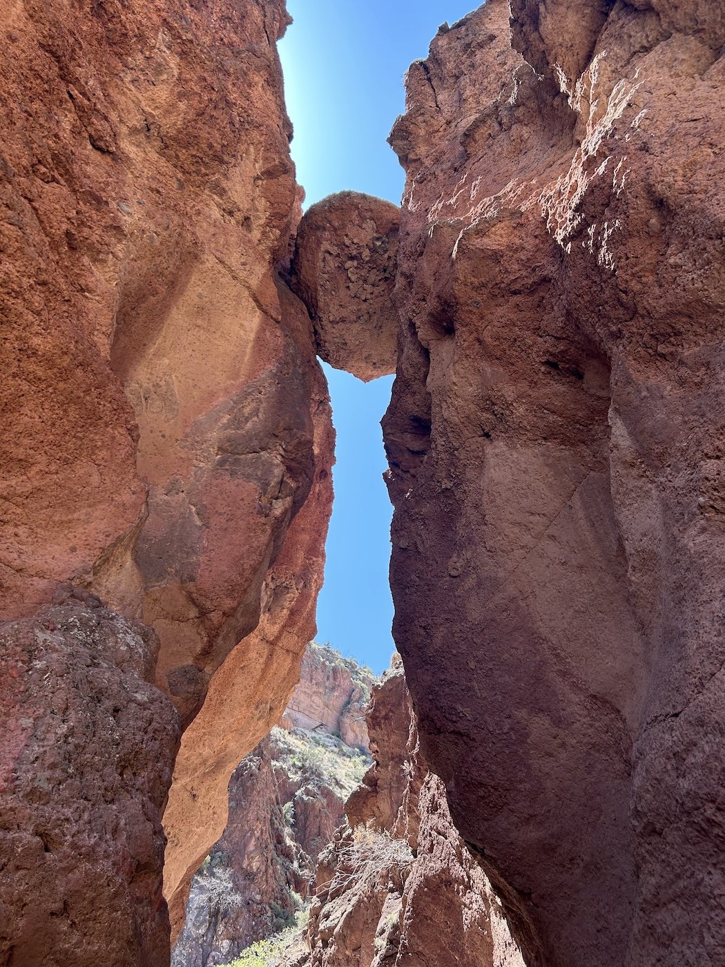
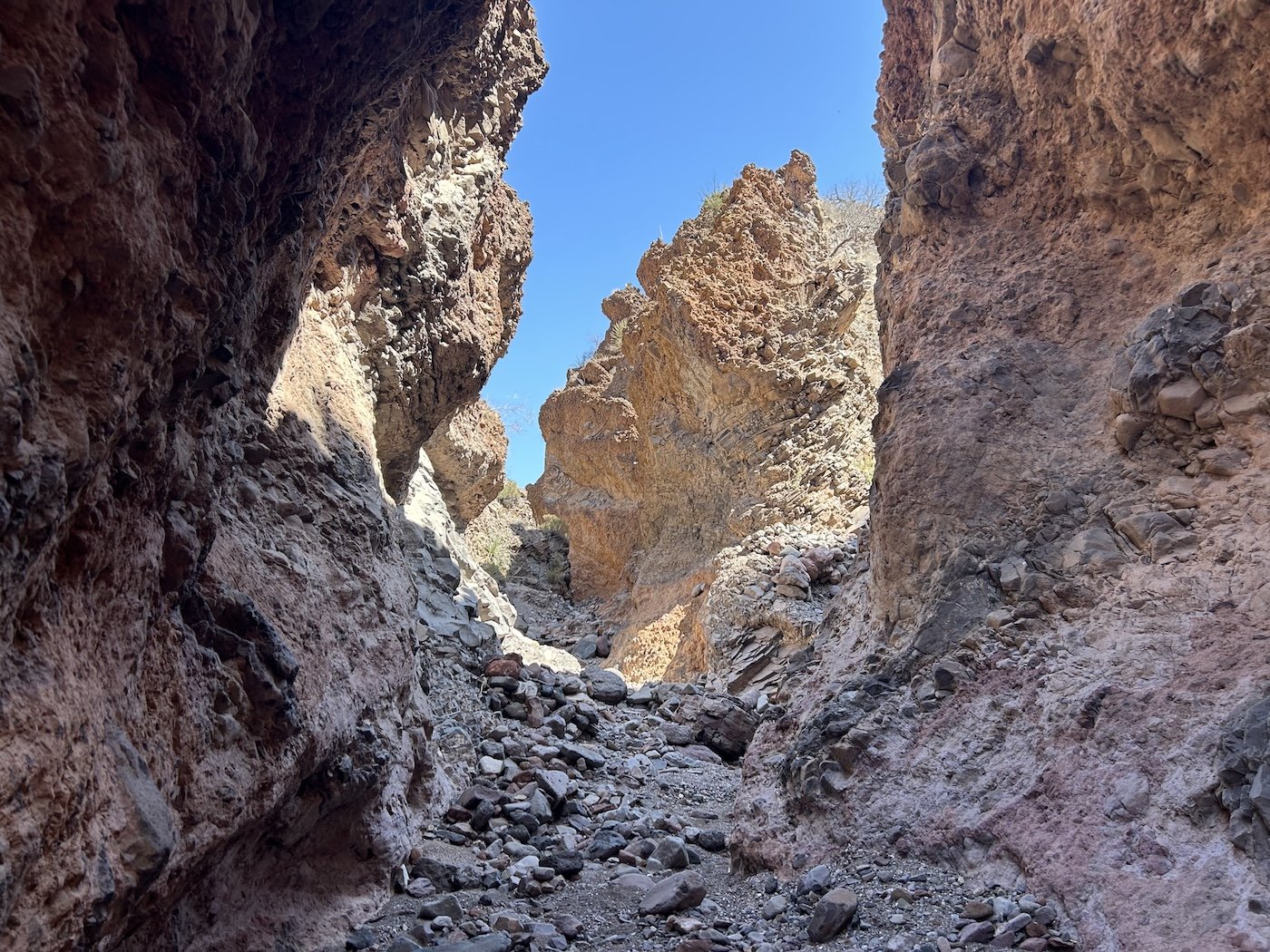
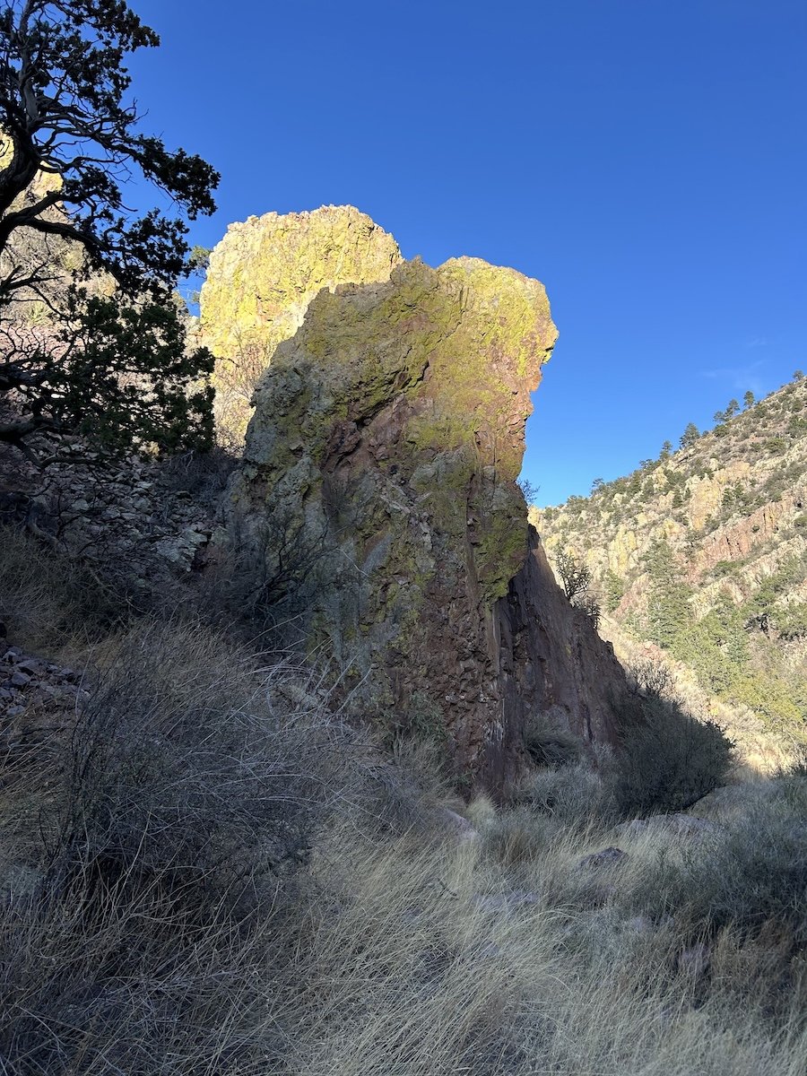
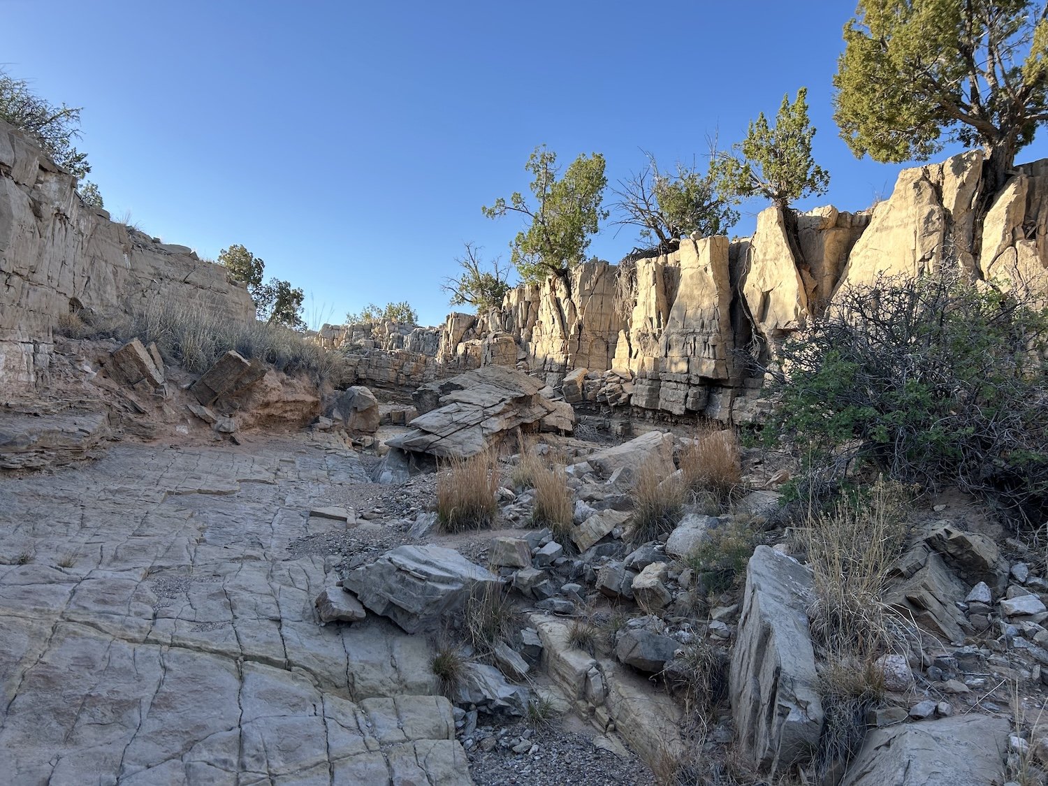
Slot canyon along the Painted Bluffs Primitive Route


Eagle Creek


San Francisco Mountains

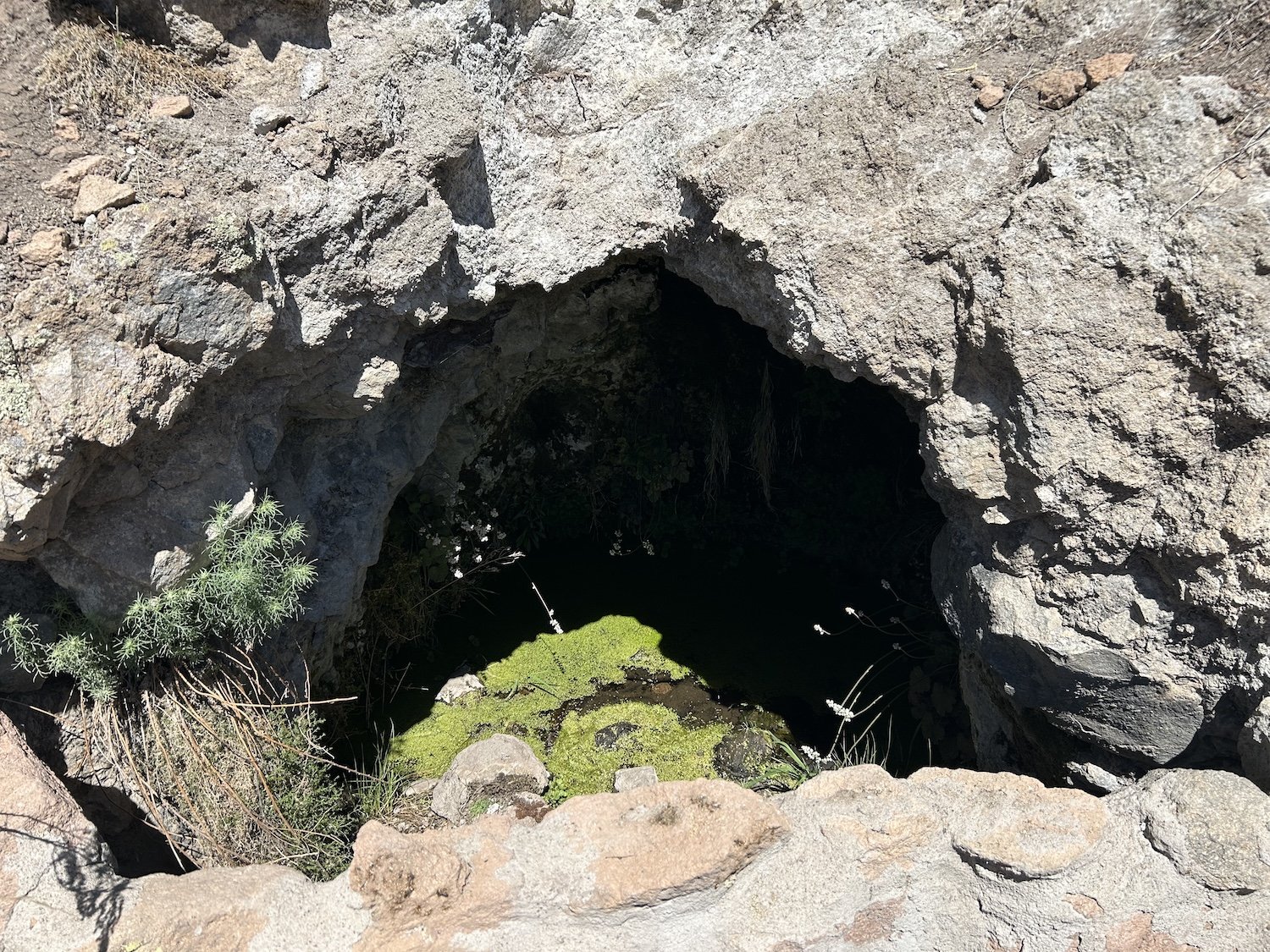
Cave spring


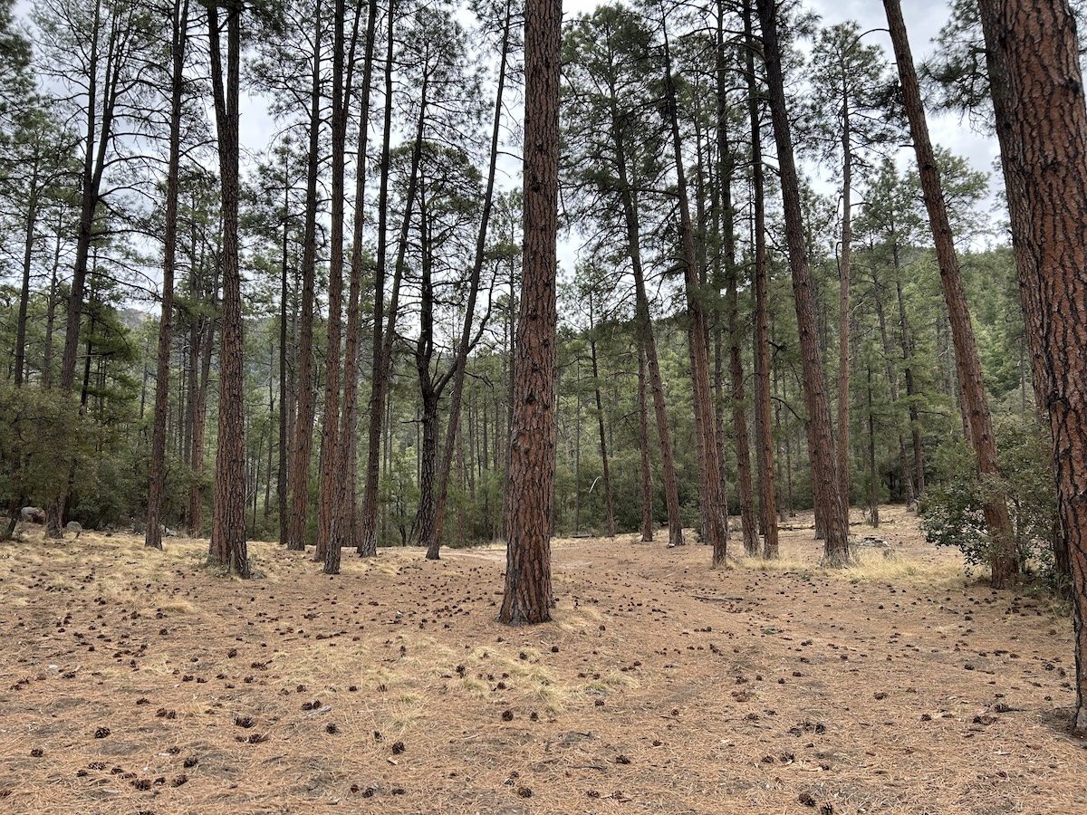
Alligator Juniper
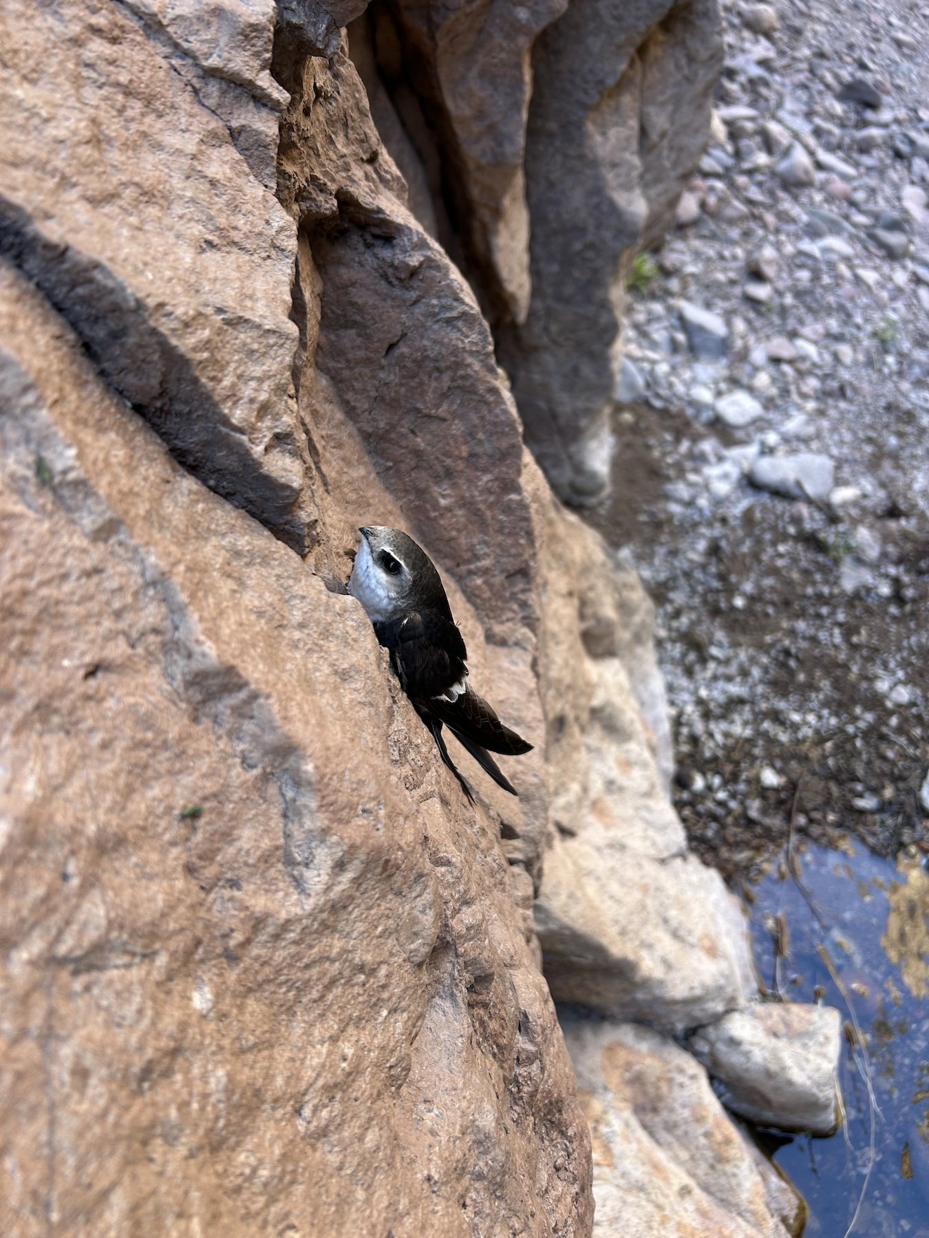
White Throated Swift
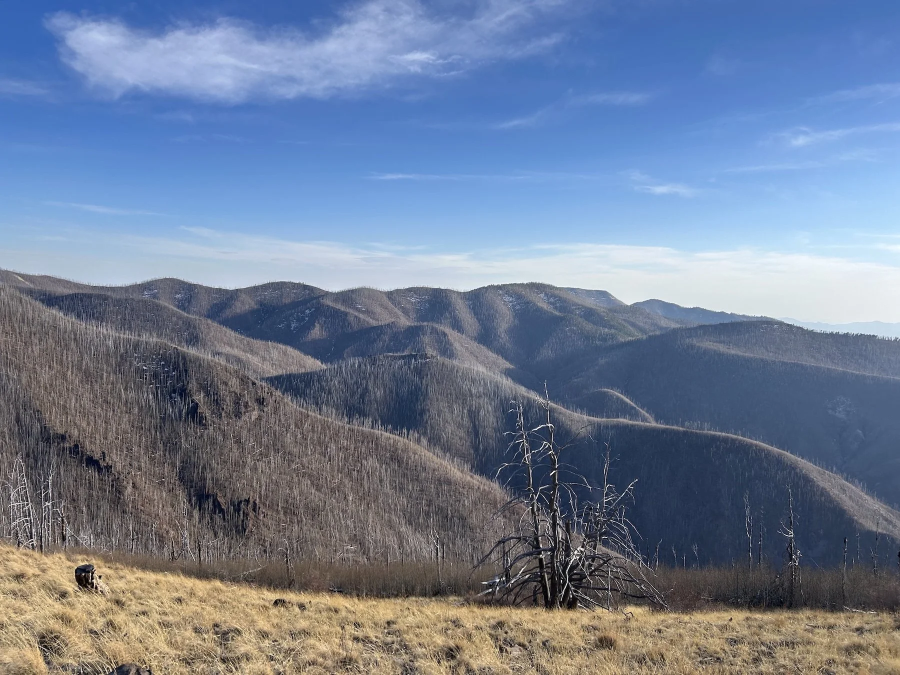
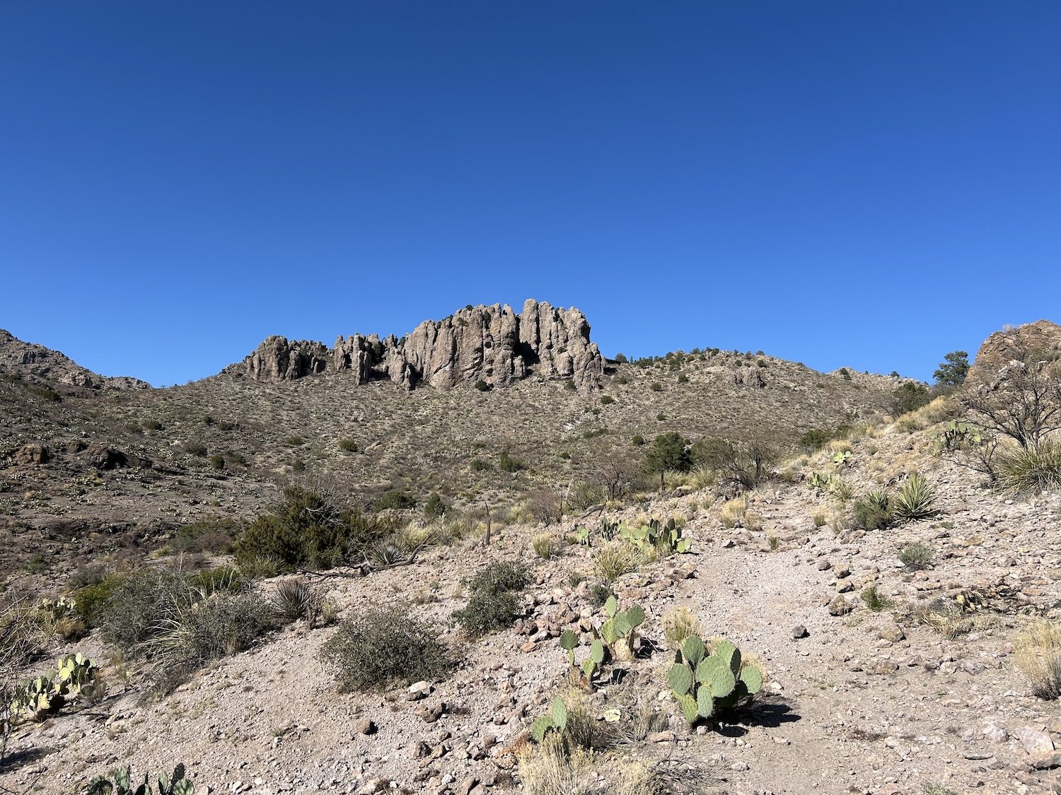
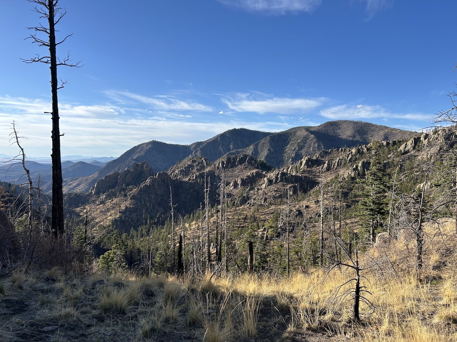
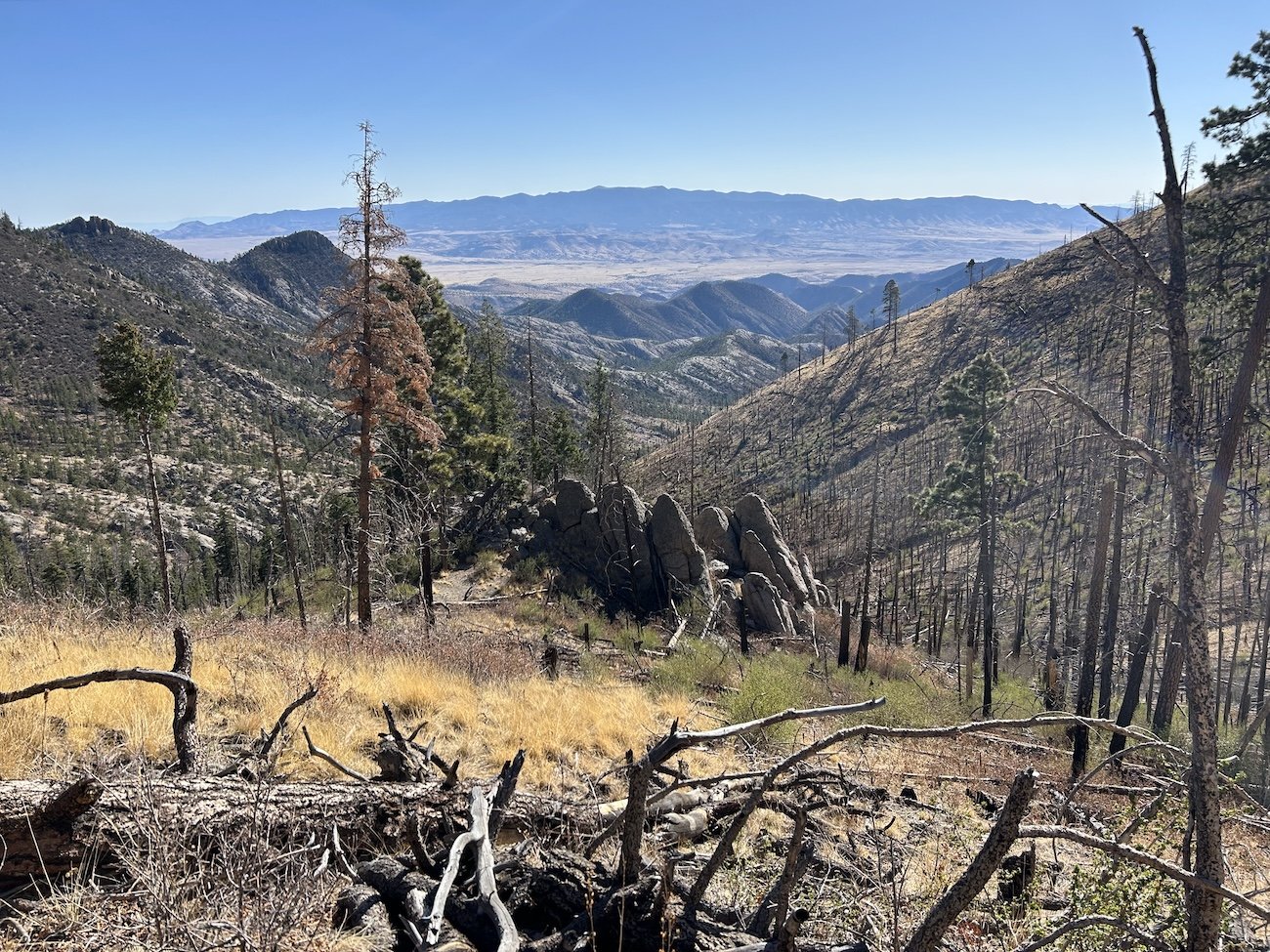
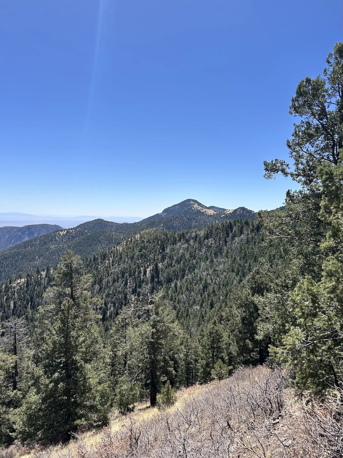
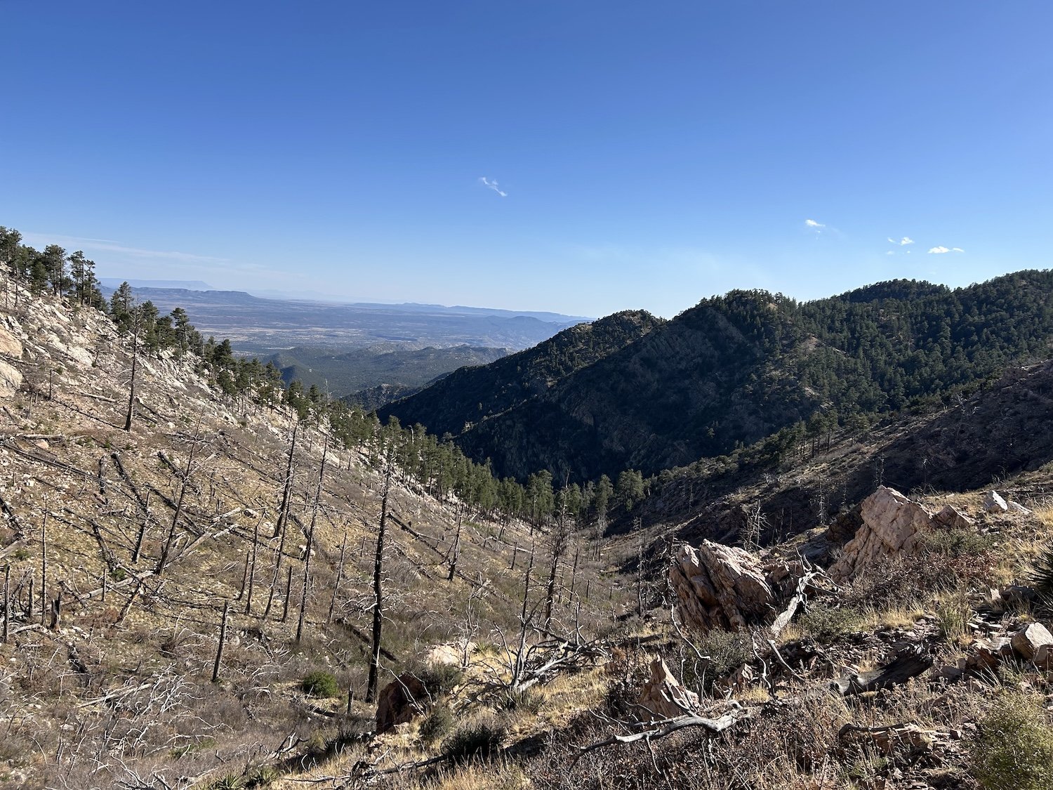
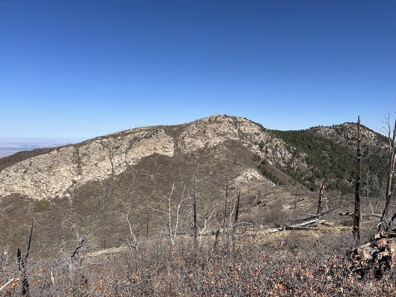
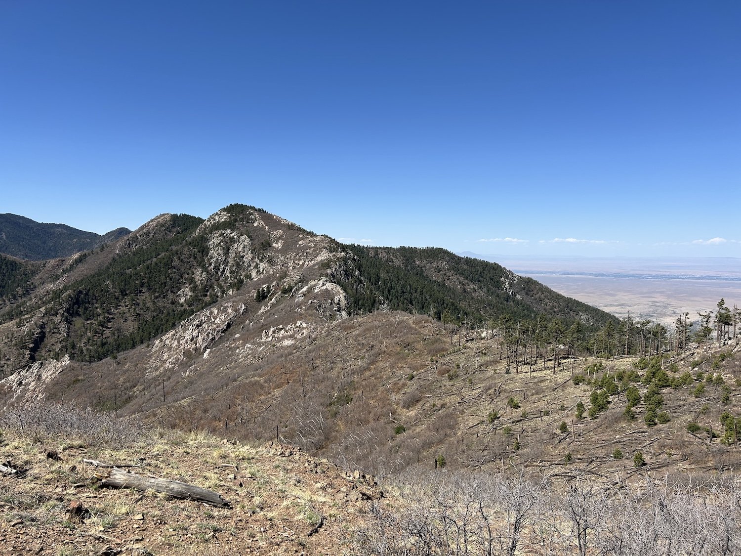
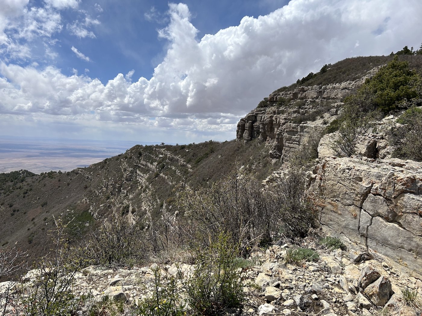
Mogollon Crest

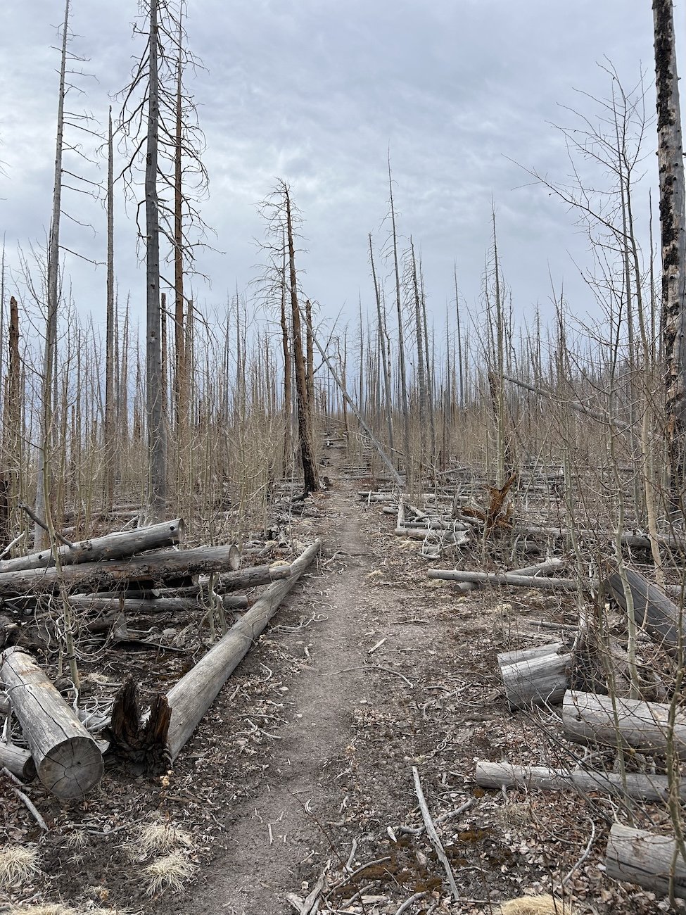
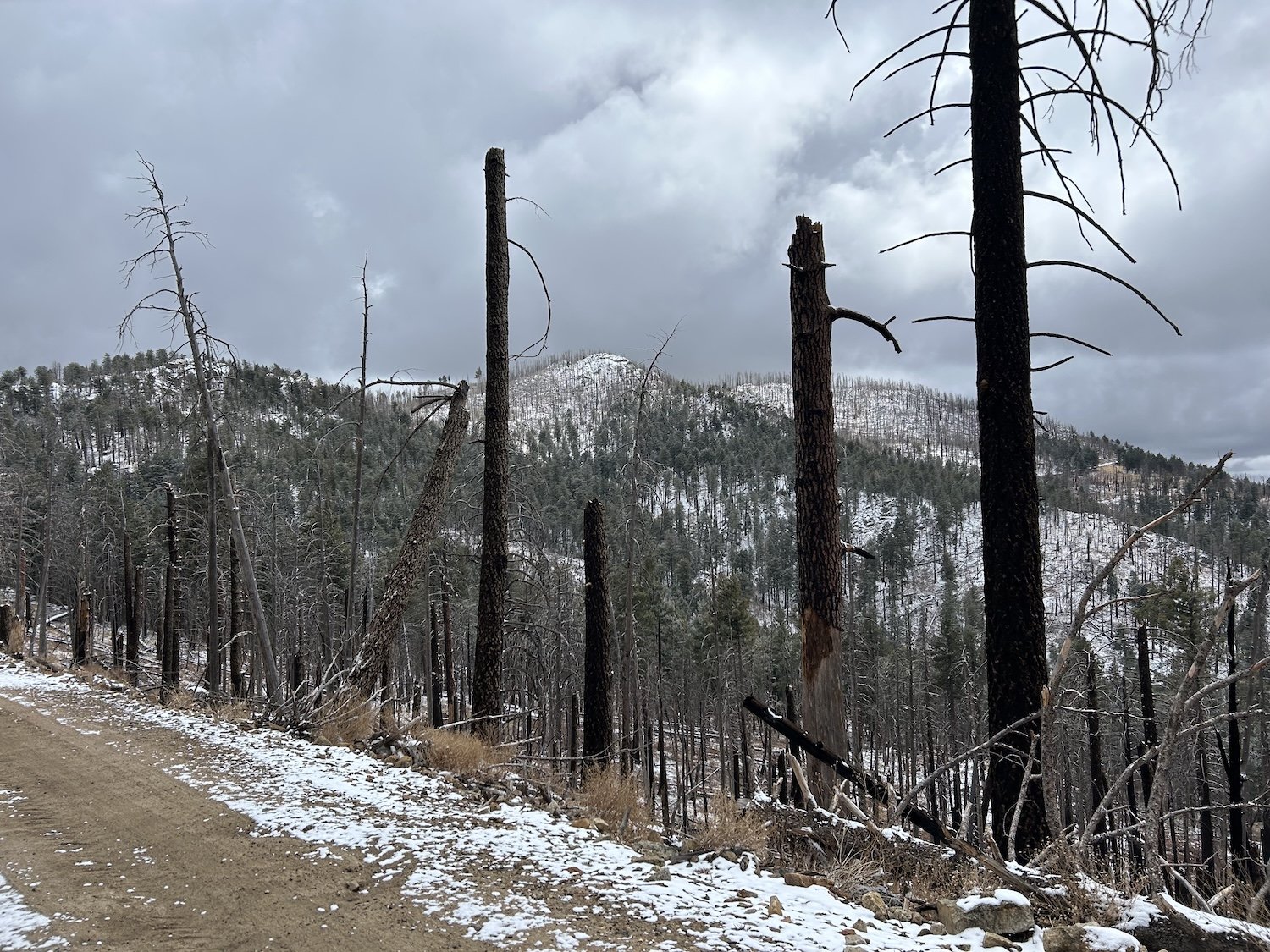
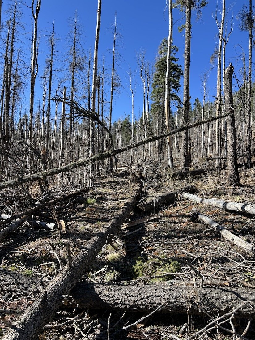
Whitewater Baldy burn-scar


thorns did a number on my FrogTogs

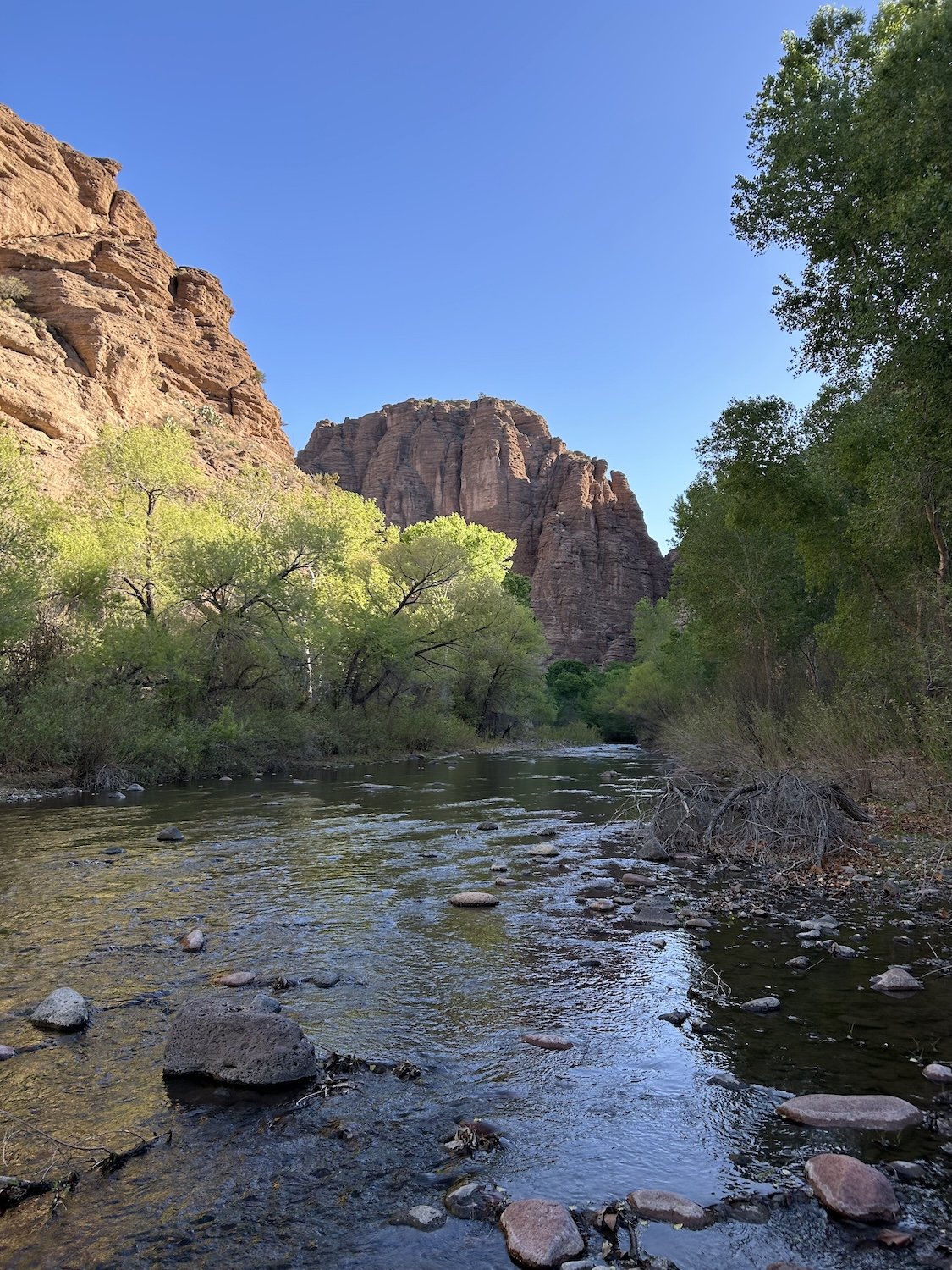
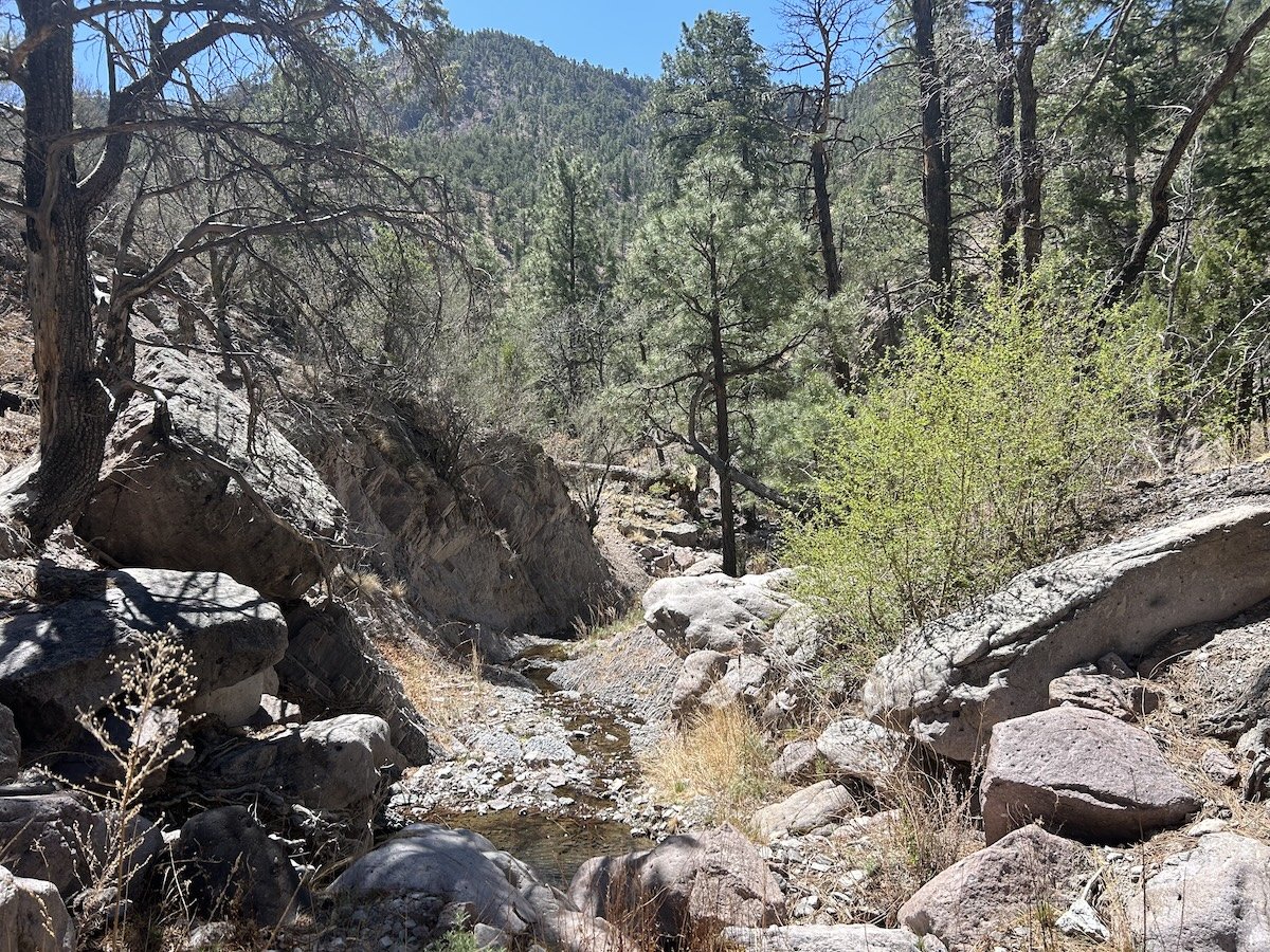
West Fork Gila River
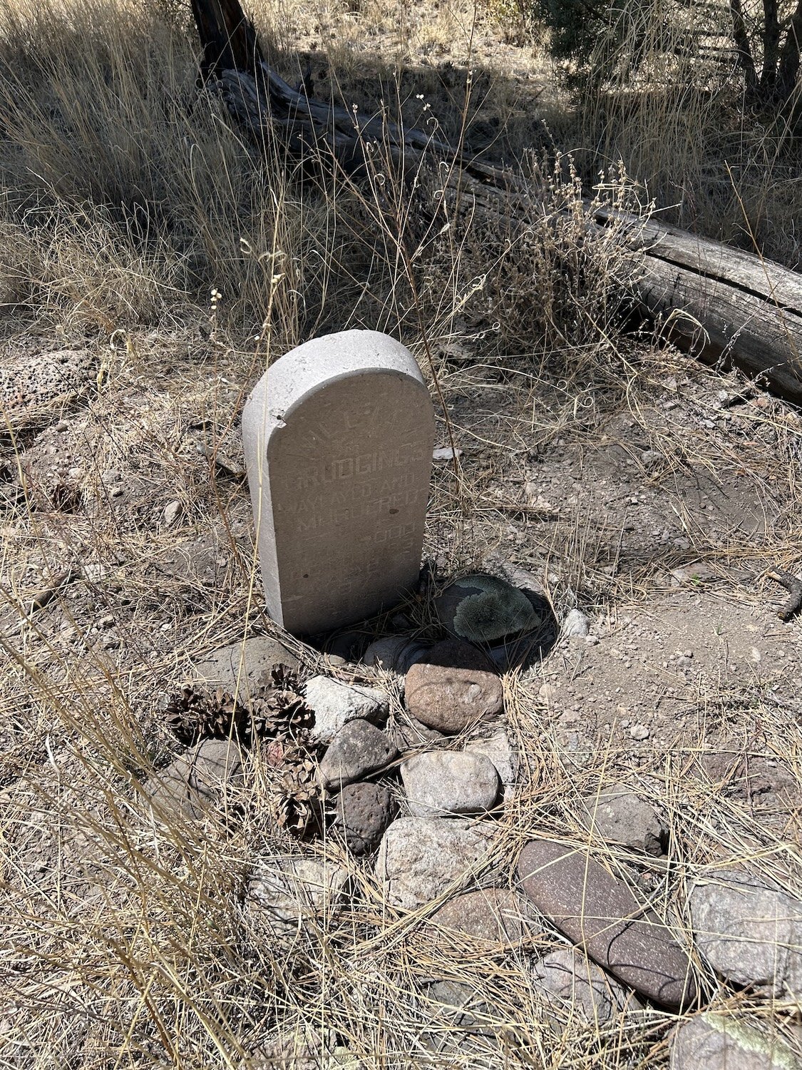
"waylaid and murdered"

Sarah + Tim at Lightfeather Hot Spring

Upper Diamond Creek

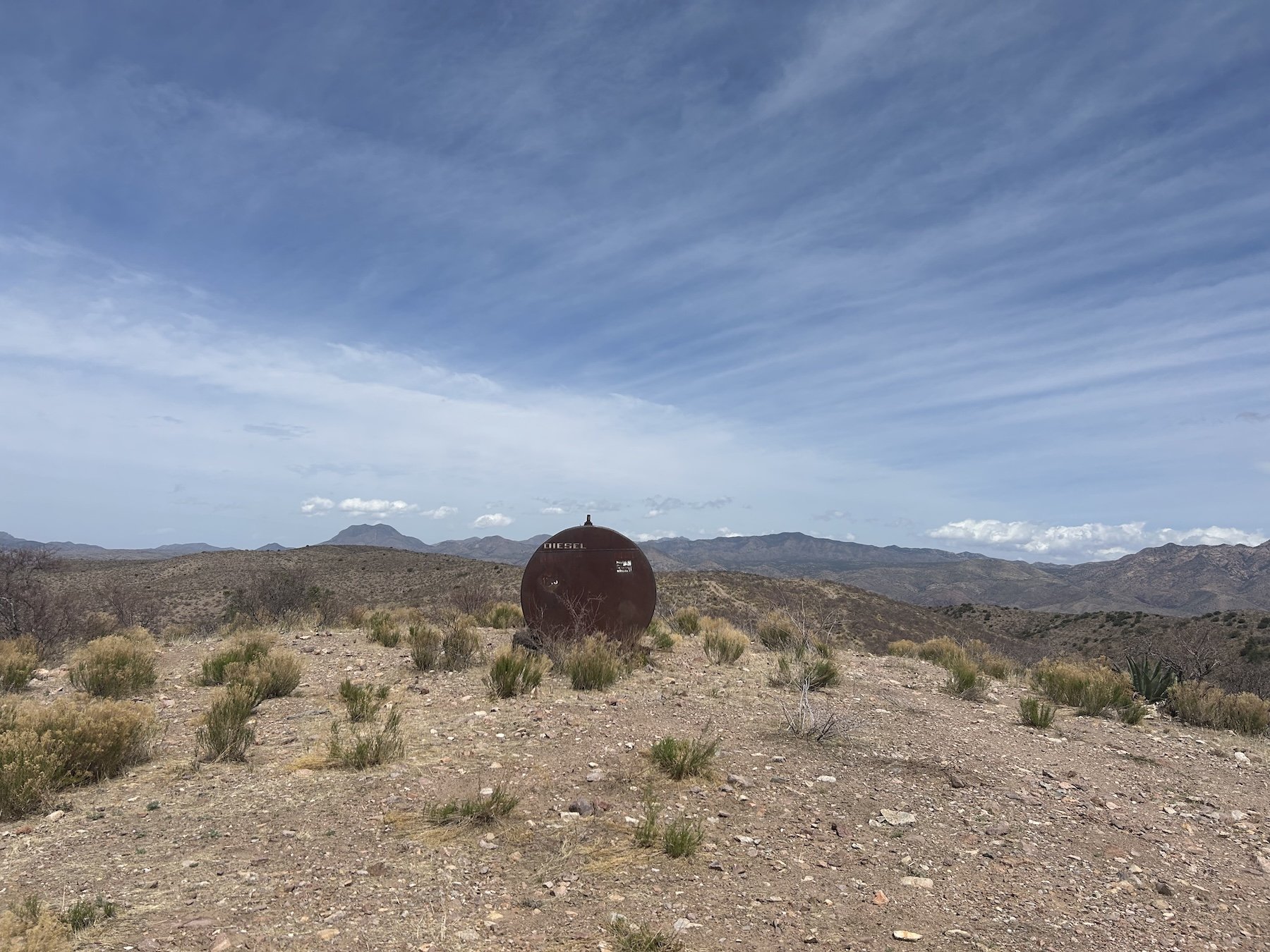
Iron Spring

soonest water source (27.8 miles) after Iron Spring

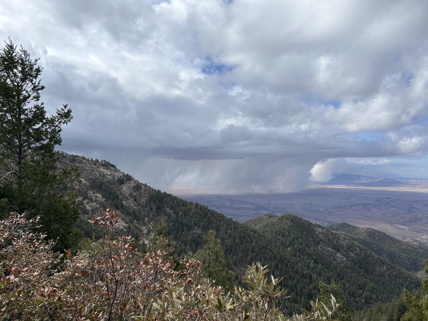
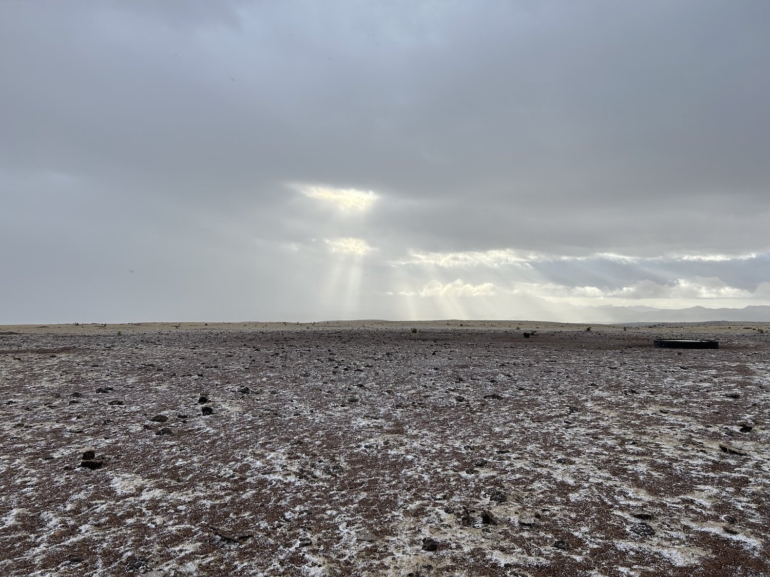
there's a storm a'coming!

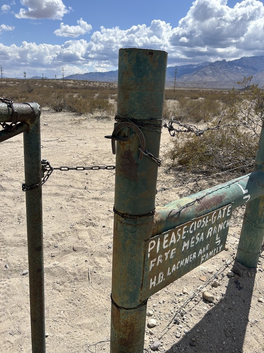
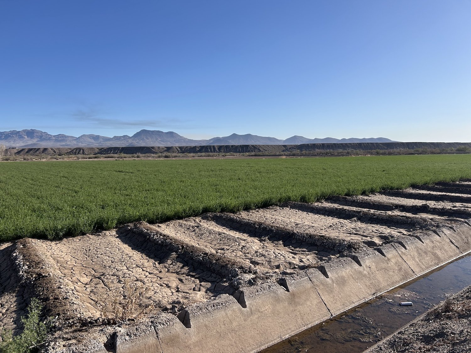
Monticello Box Canyon (private land managed by the county ditch association, skirted via a circuitous, off-trail detour)
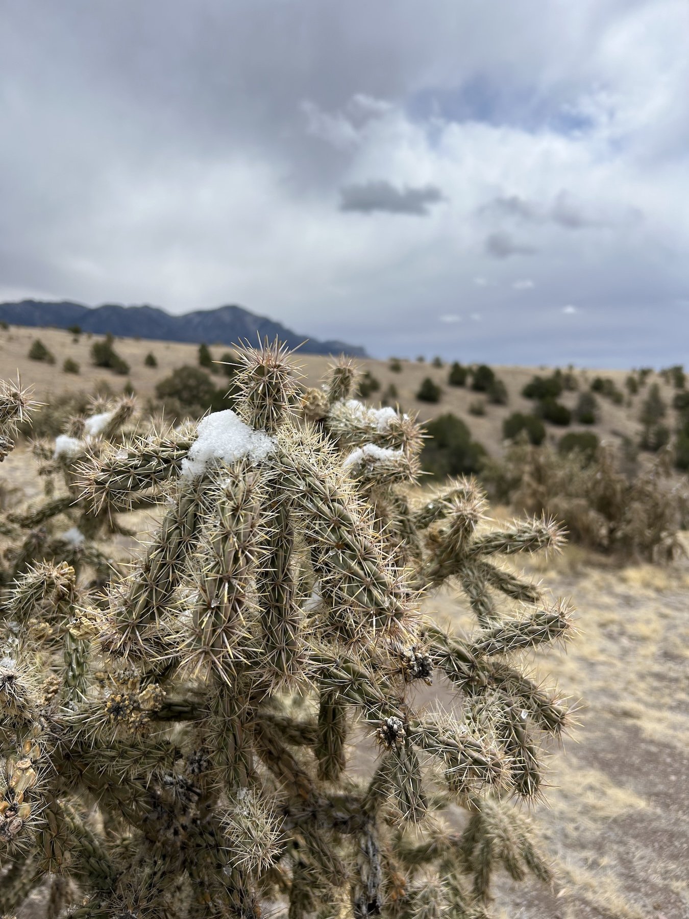
snow capped cholla
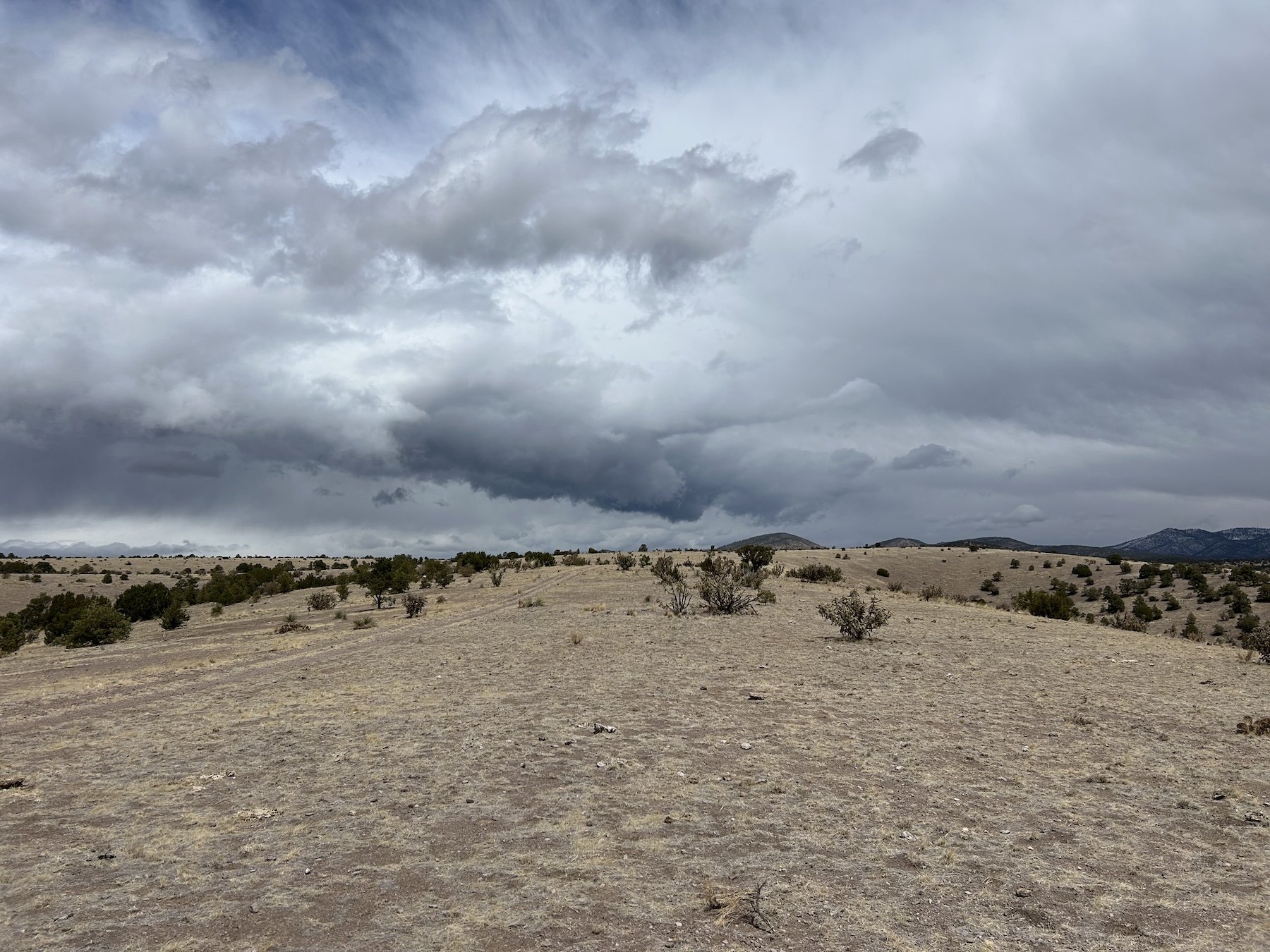
Squalls rolling in from all directions
yum.

kitted out to defend against wind and dust

Lauren and her beautiful front door in Monticello, NM

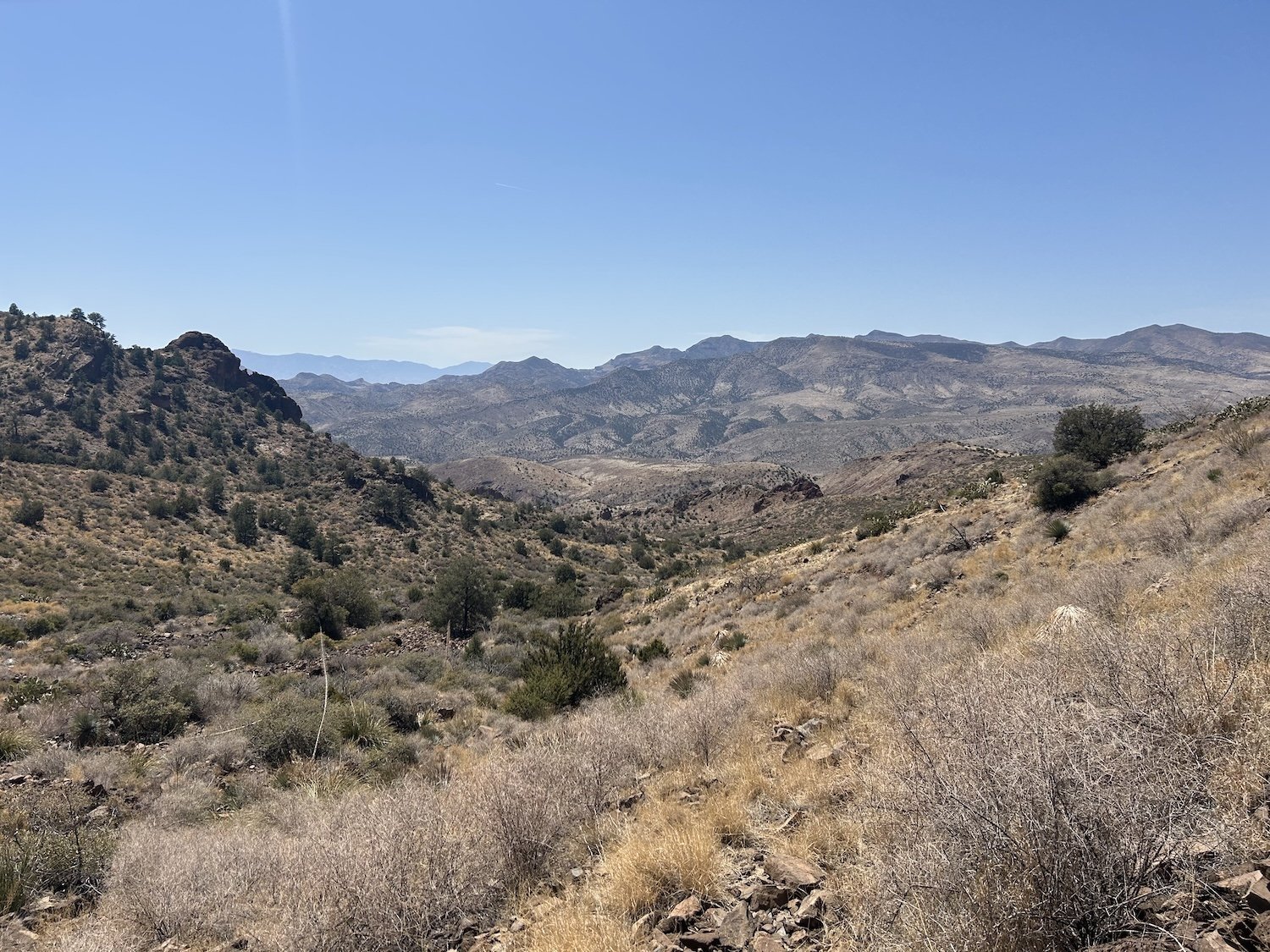
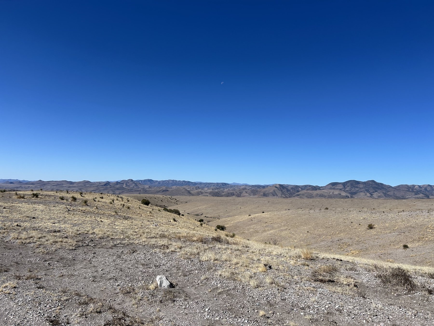
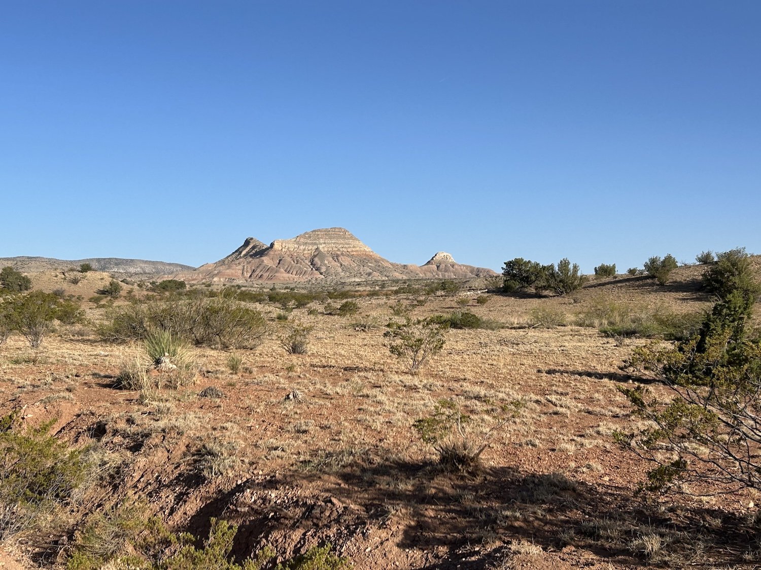
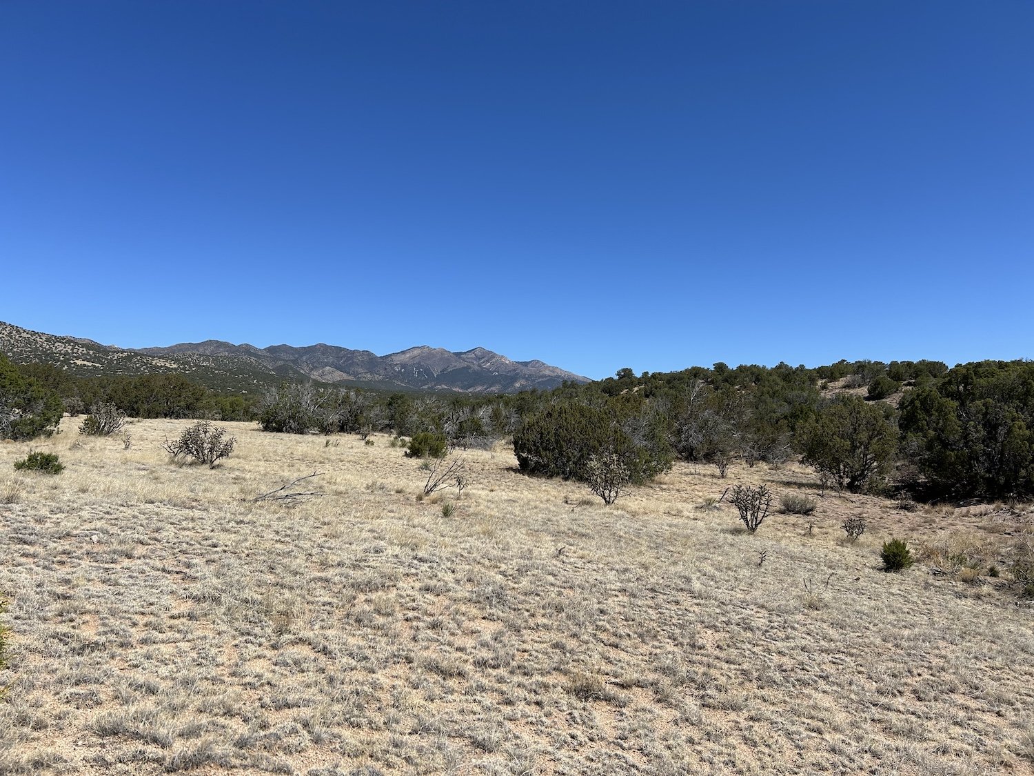
The San Mateo Mountains


Sunset on Grassy Lookout
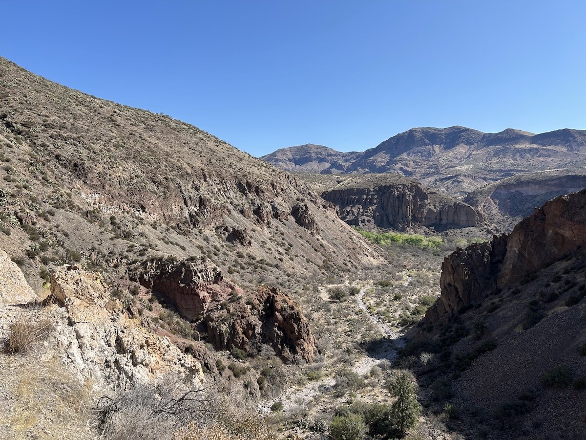
Descent into Potato Canyon
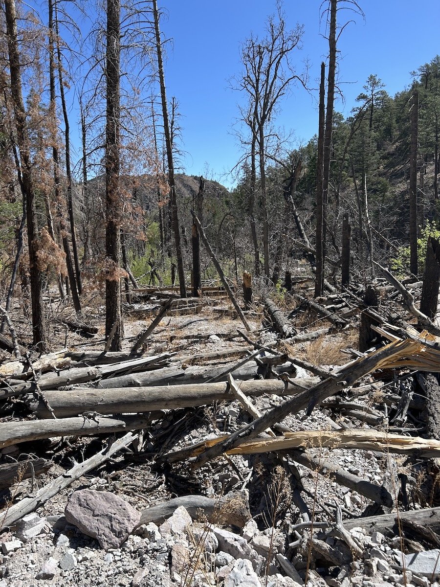
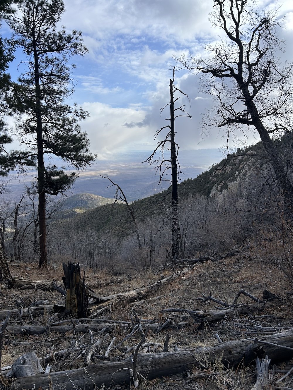
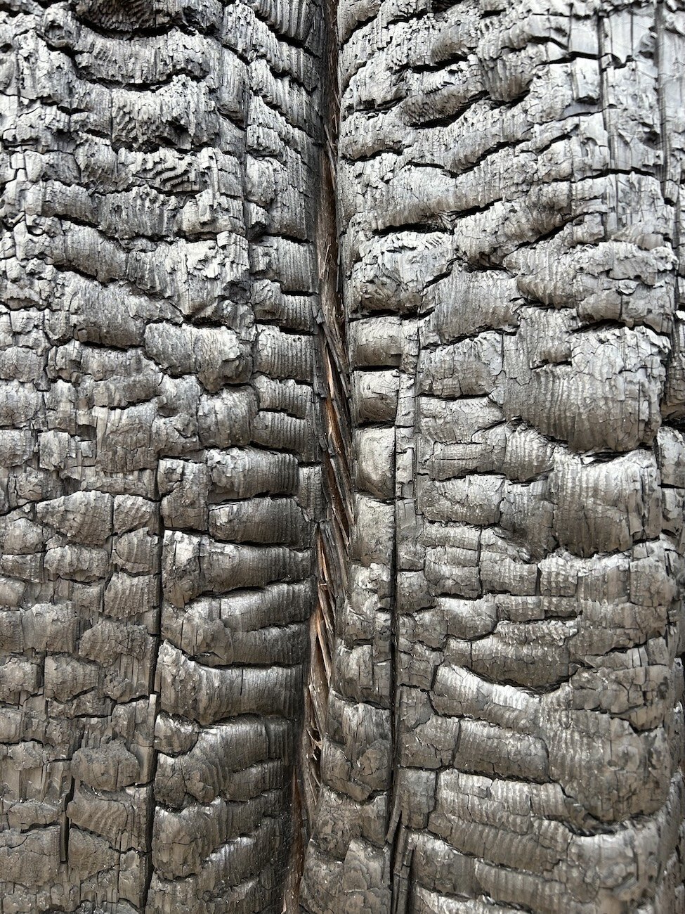
burn scar scars


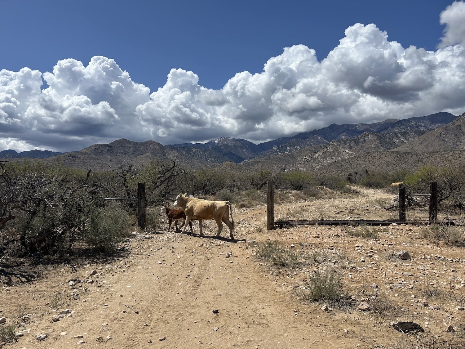
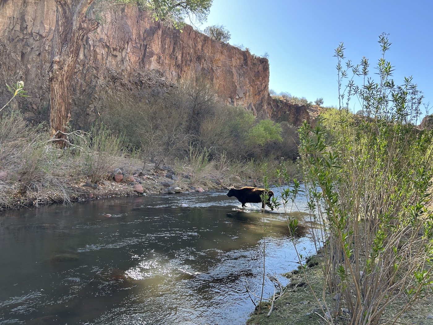
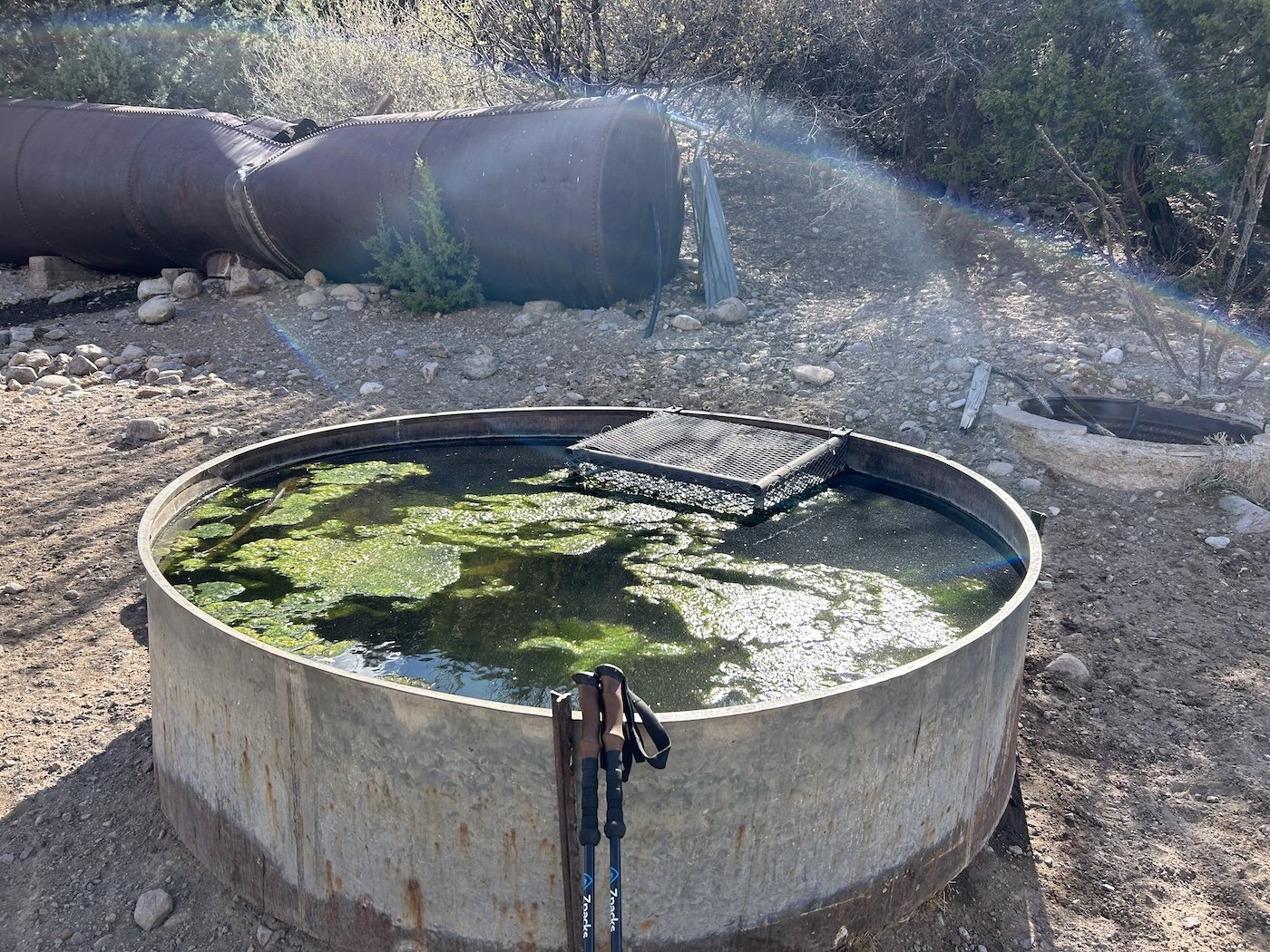
skeptical cows none too thrilled about sharing their trough with me

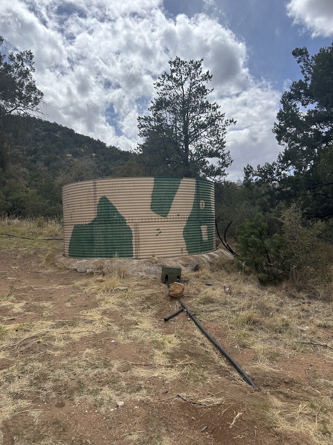
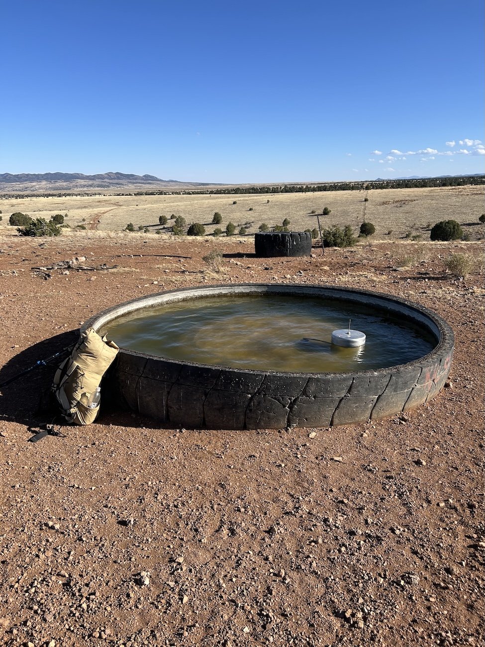
the trough in question


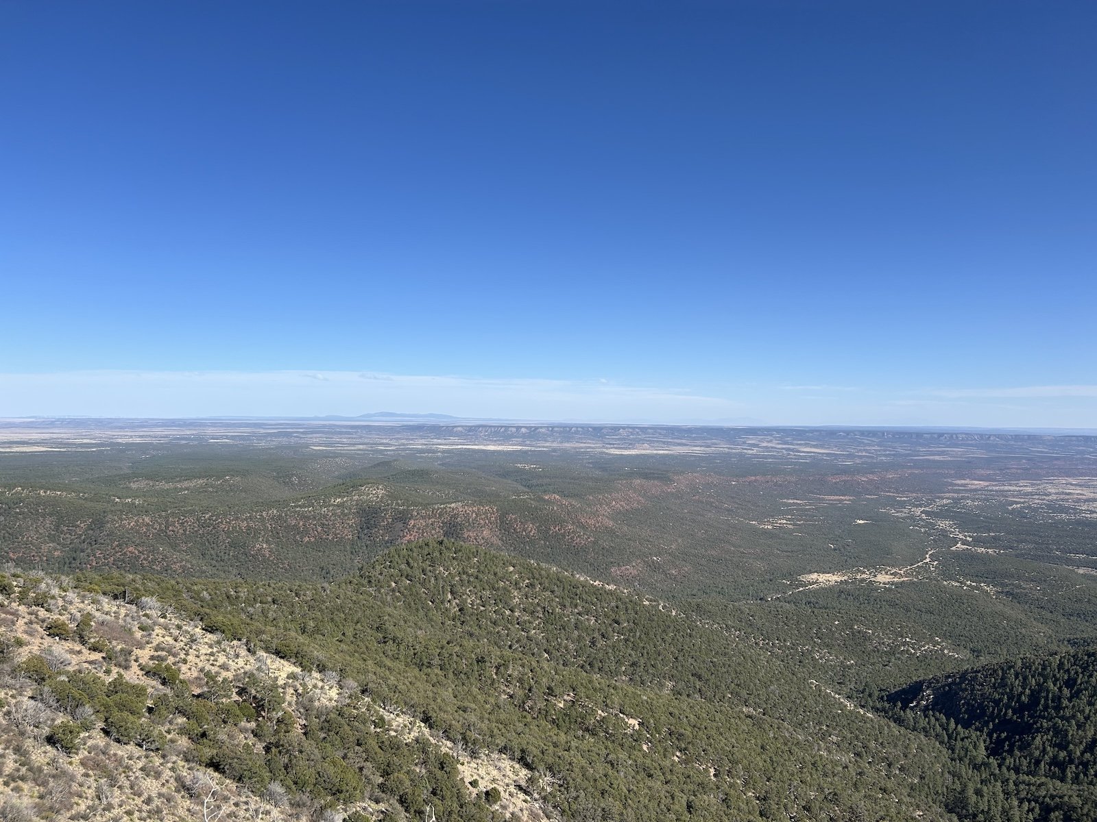
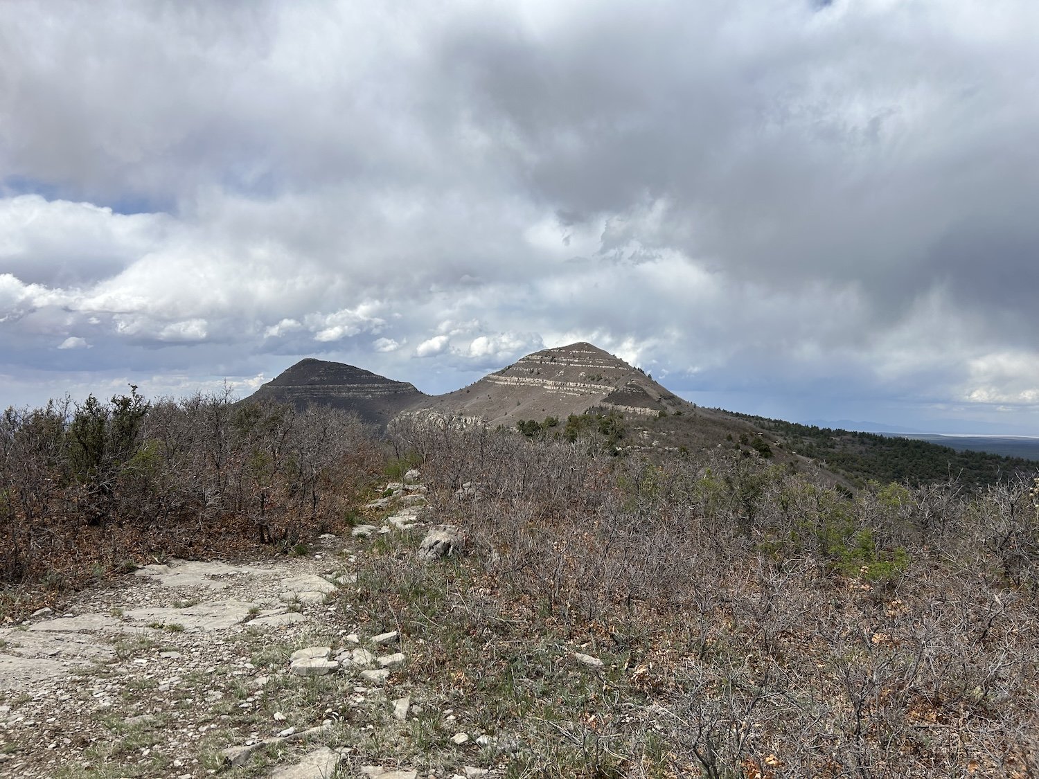
The Magdalena Mountains


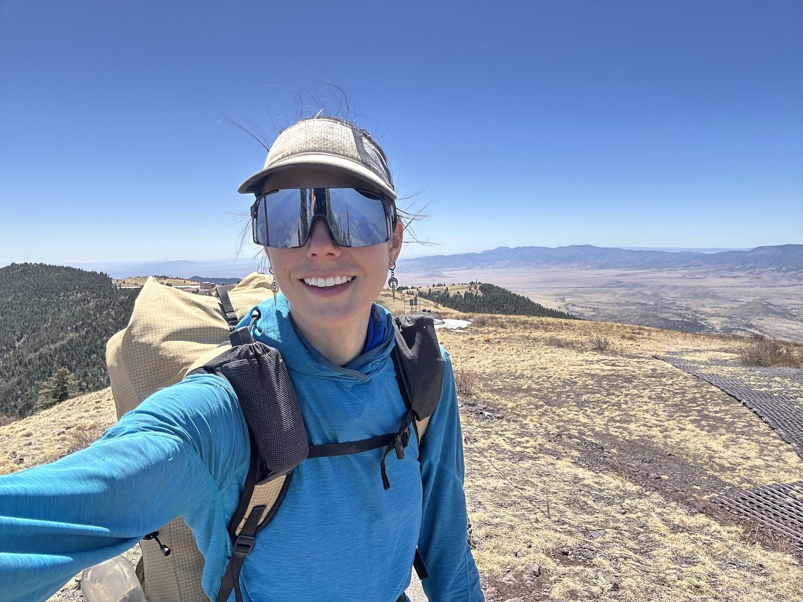
South Baldy Summit


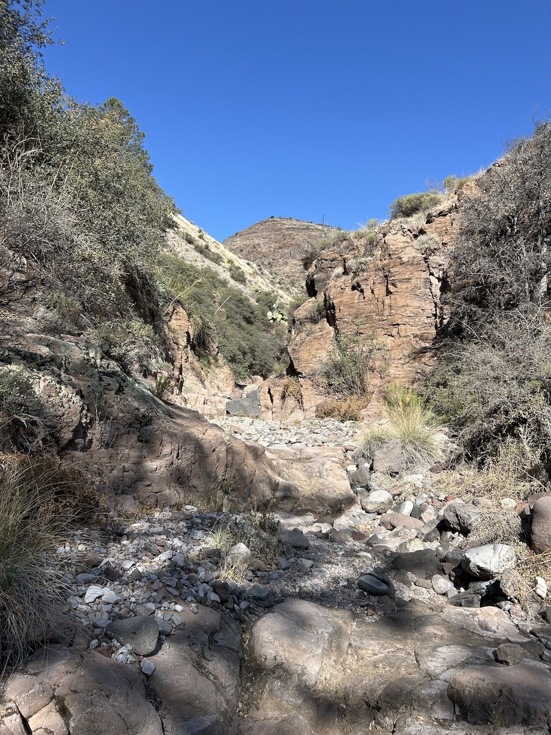
South Canyon


camp at the feet of the Magdalenas

Exposed walk into Socorro
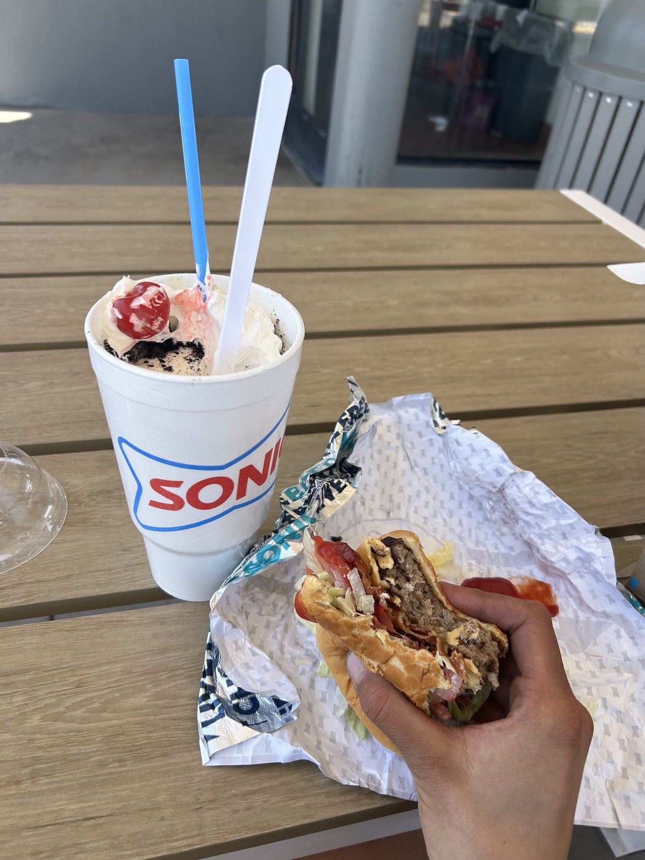
Sonic is the jam
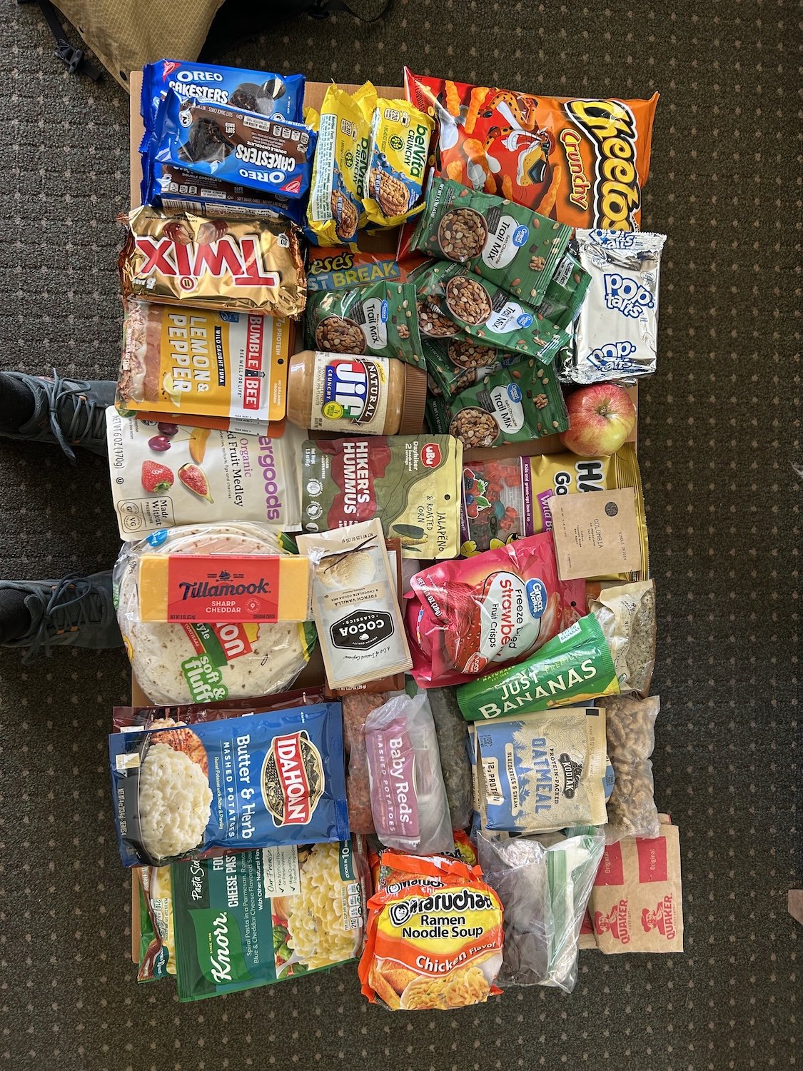
Final resupply
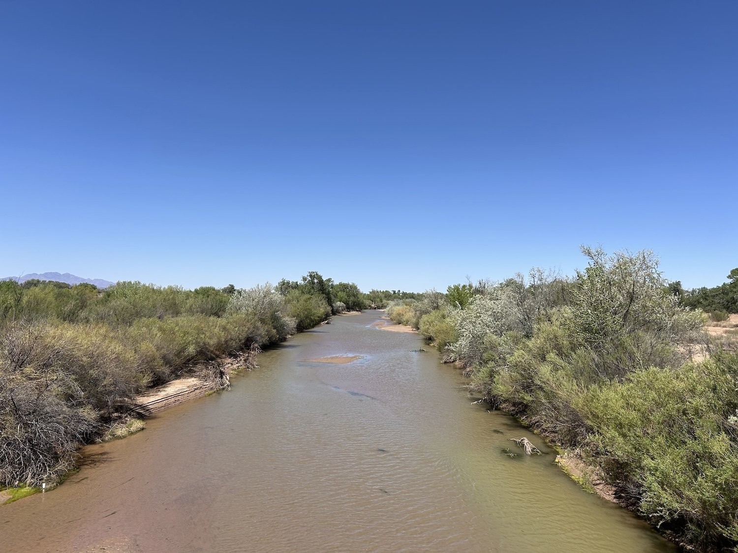
Rio Grande River


wind, dust, and cows

beautiful unnamed wash

a view into the Sevilleta National Wildlife Refuge and many miles of cross country and fence line walking to avoid it.

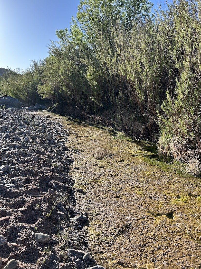
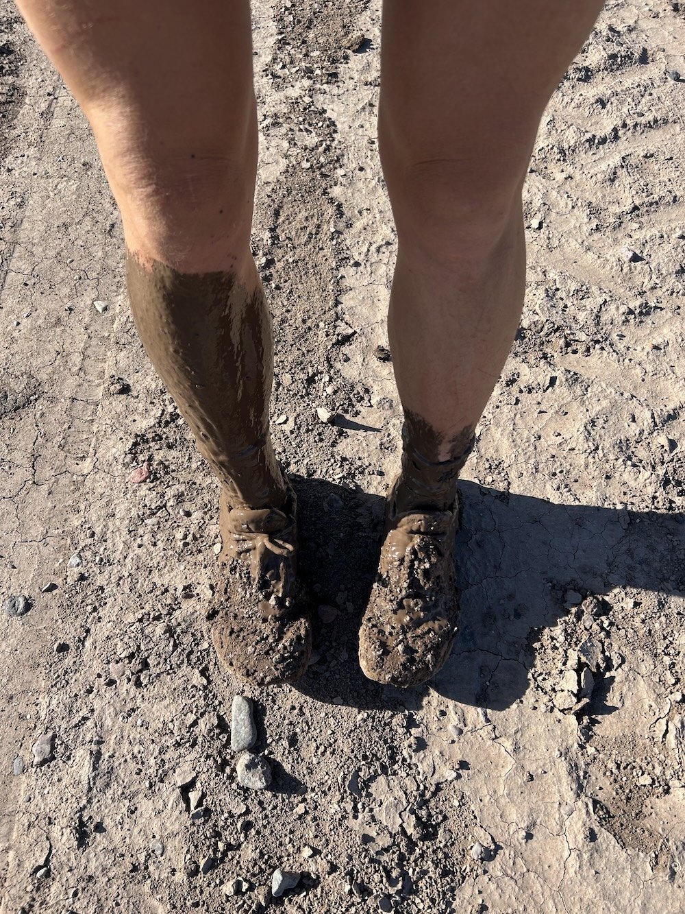
Abo Aroyo (polluted by cattle and covered in a blanket of foul algae)

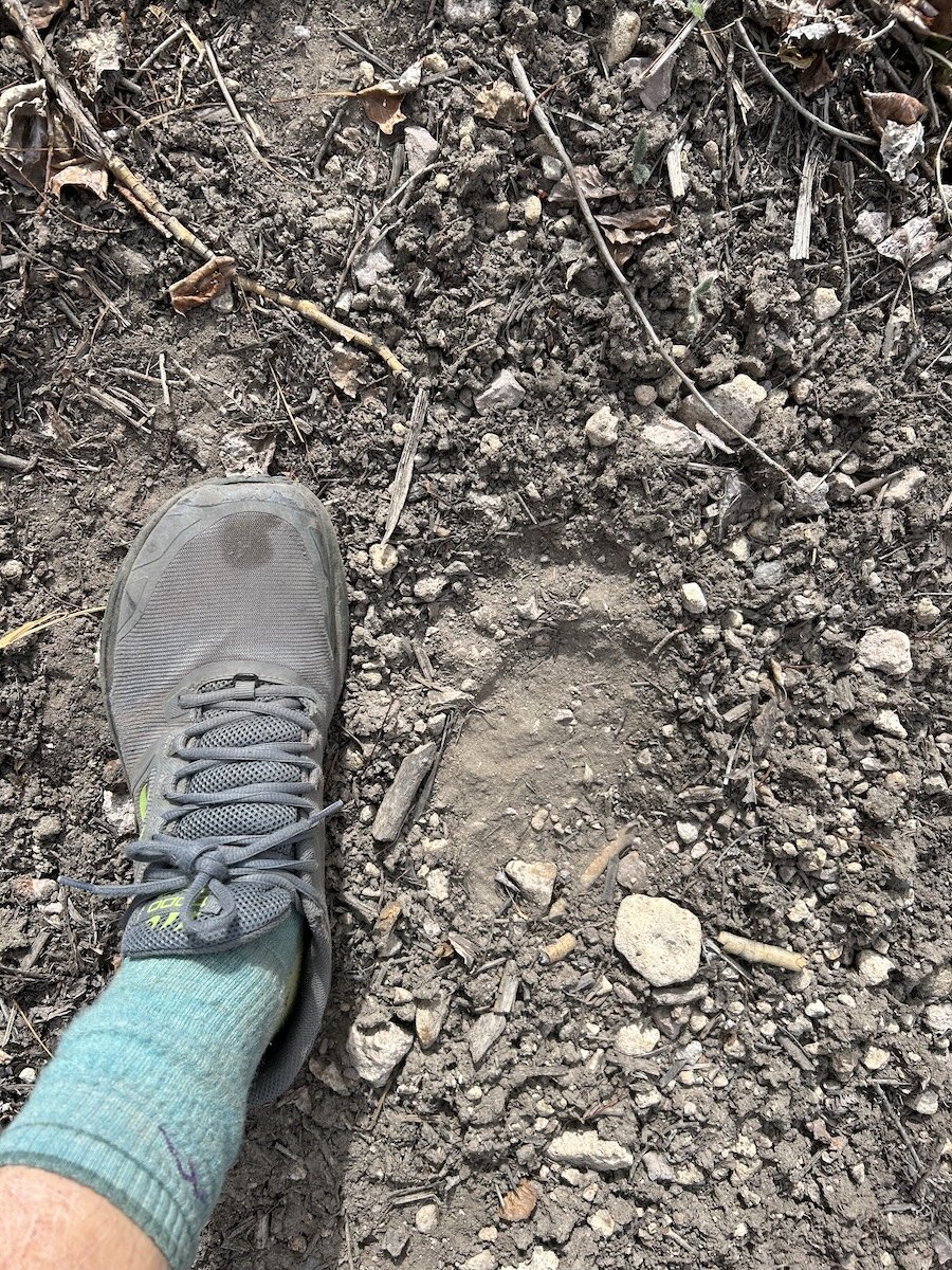
bear prints in Priest Canyon
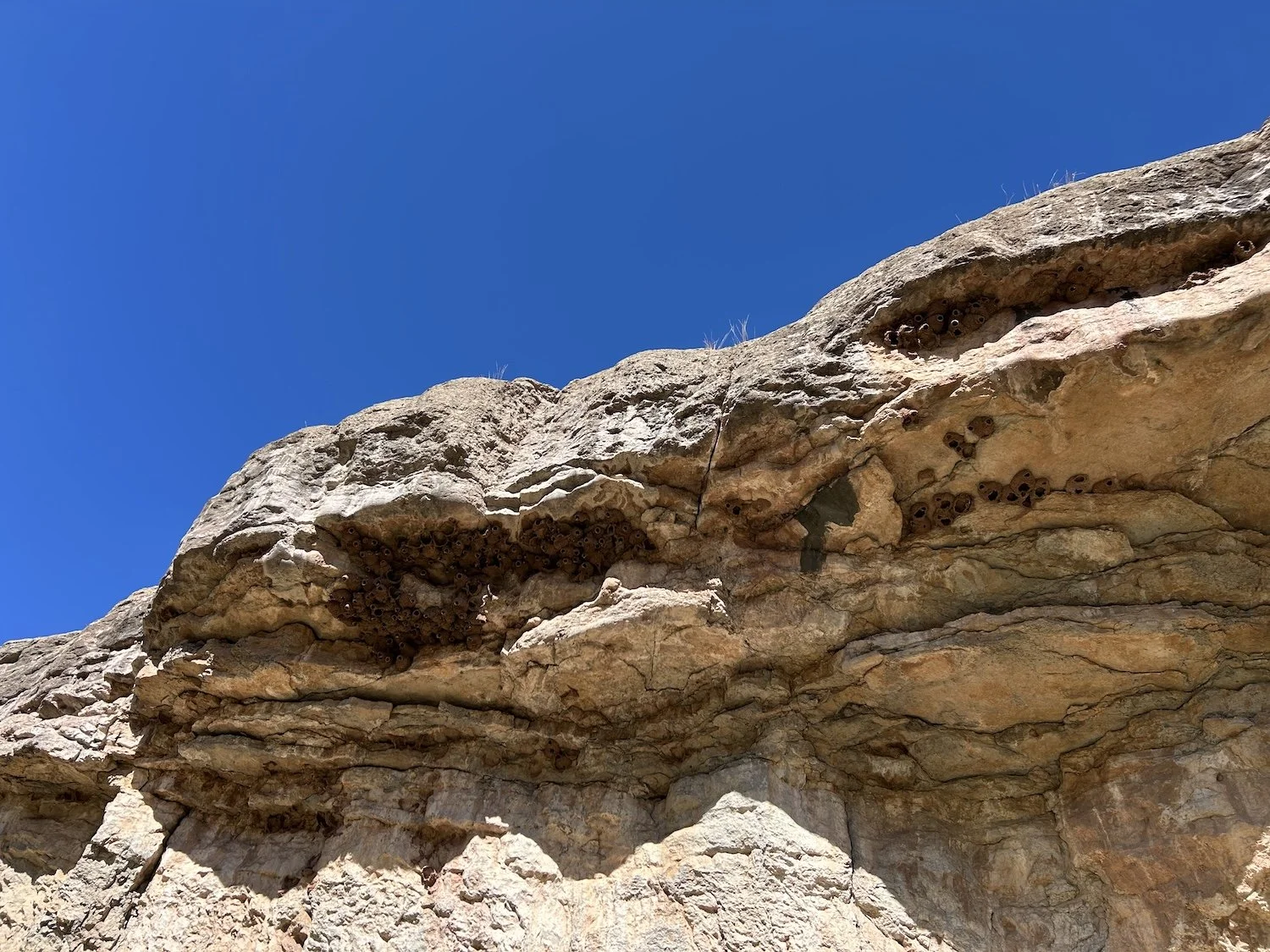
Cliff Swallows and their mud nests
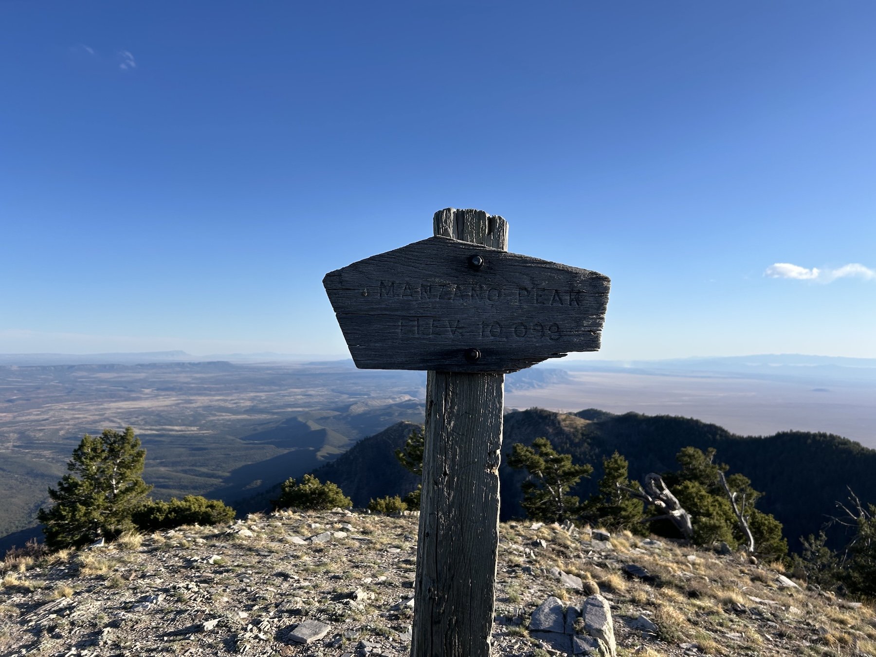
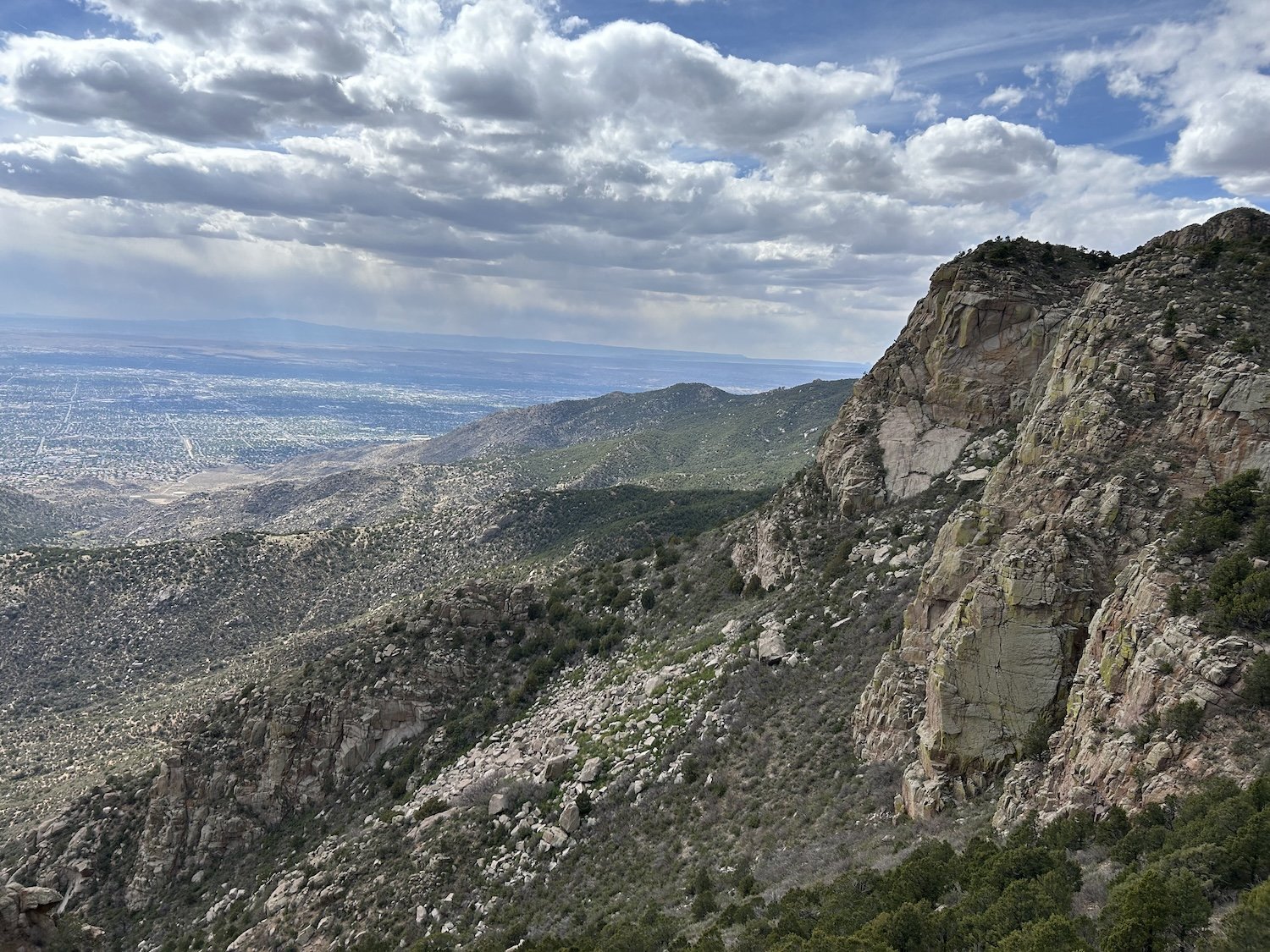
Manzano Mountains
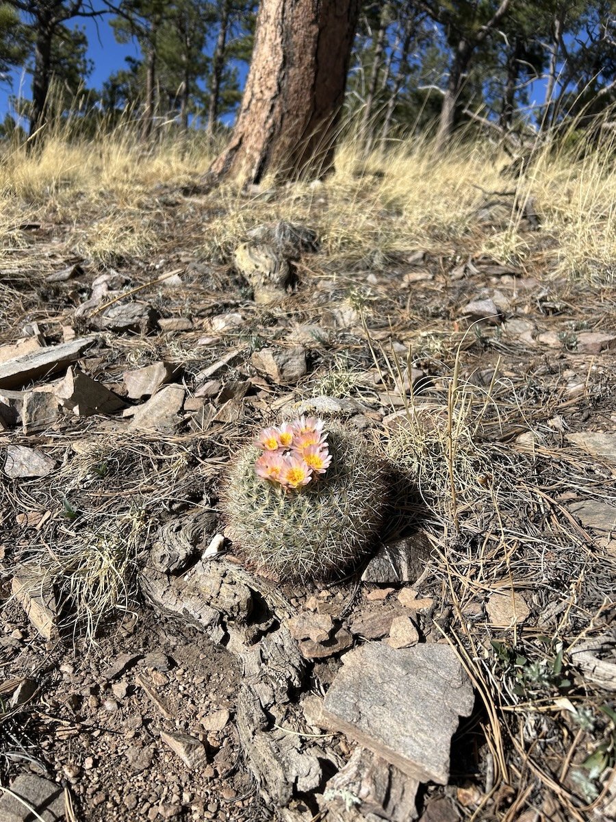
quite literally the cutest, most prim cactus
View from Manzano Peak

Spruce Spring
another burn


Manzano Crest


two sleeps away from ABQ


not only was my sun hoodie full of holes, it was no longer sun-proof and I was tanning through it

make it sing

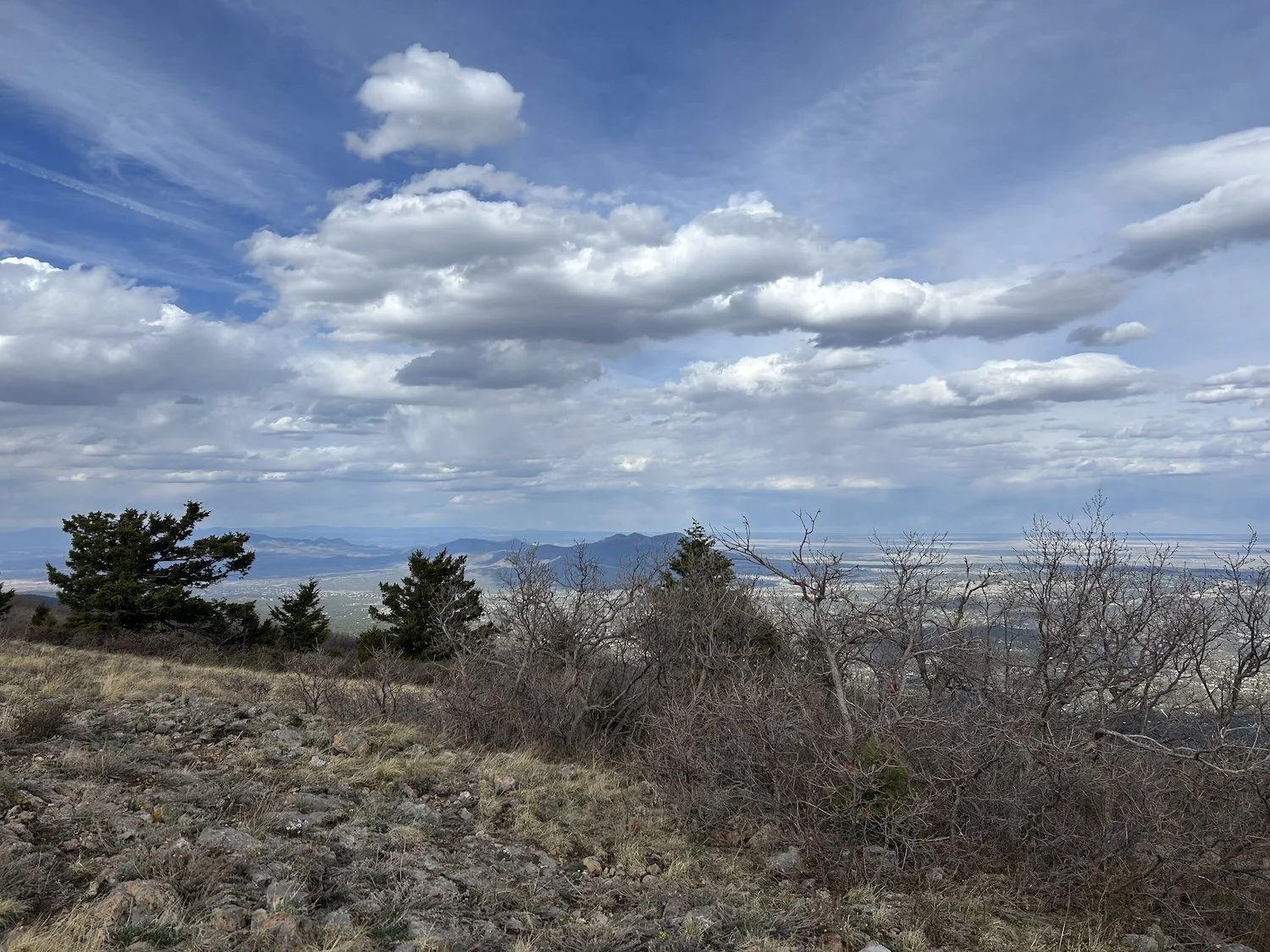
my first view of Albuquerque
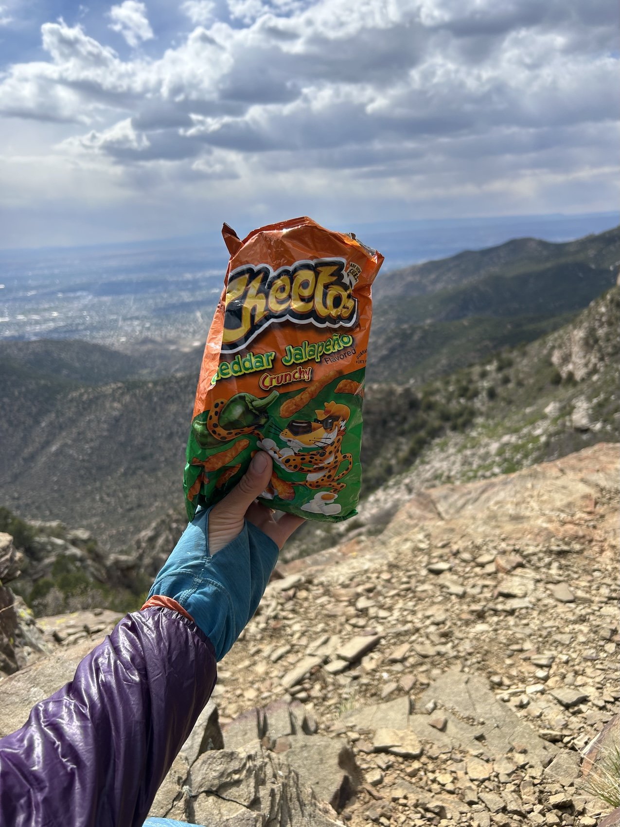
the ULTIMATE trail snack, disagree with me, I dare you
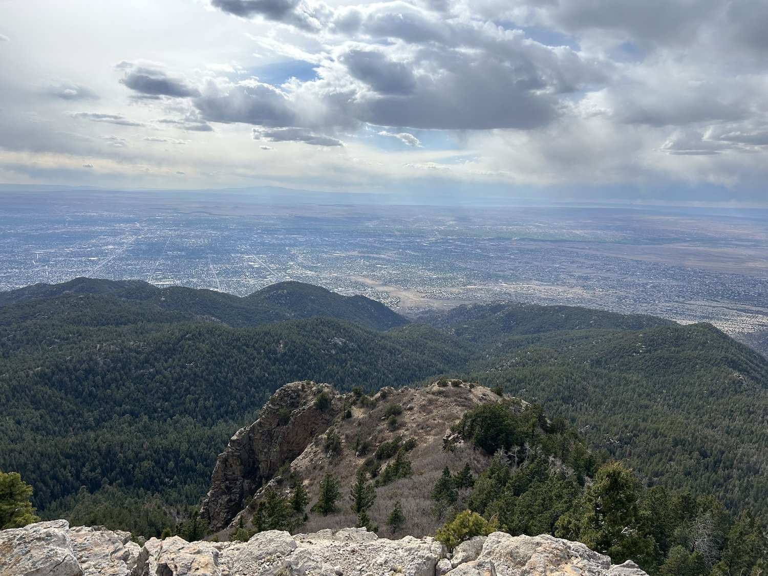


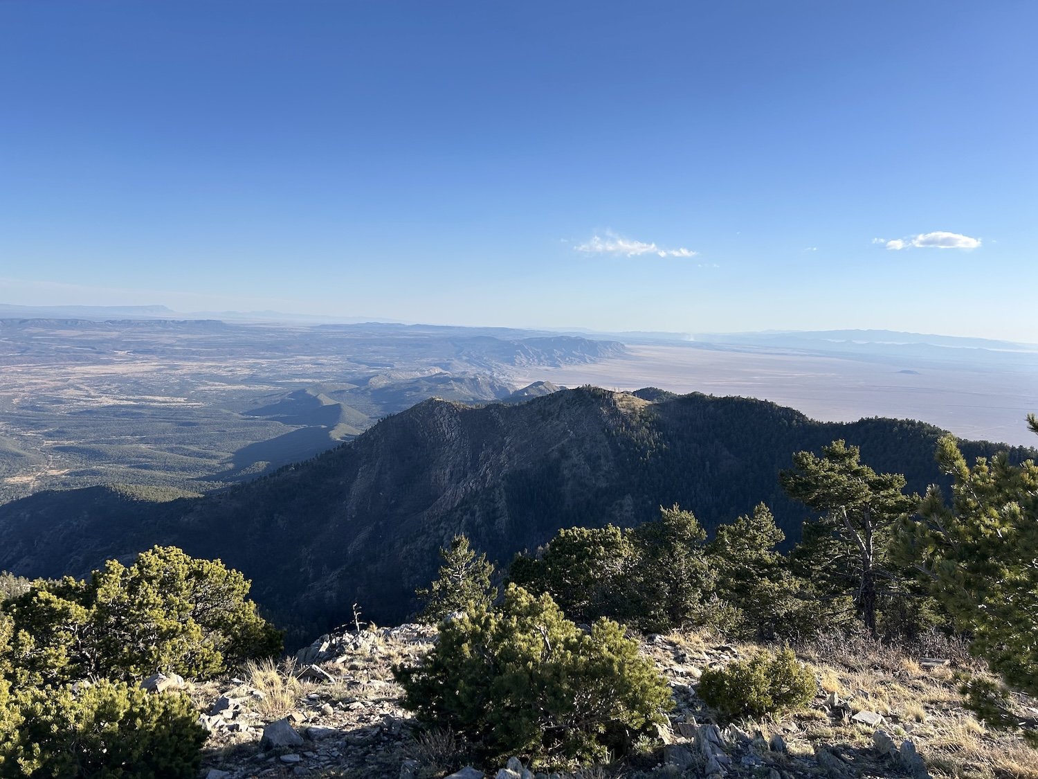
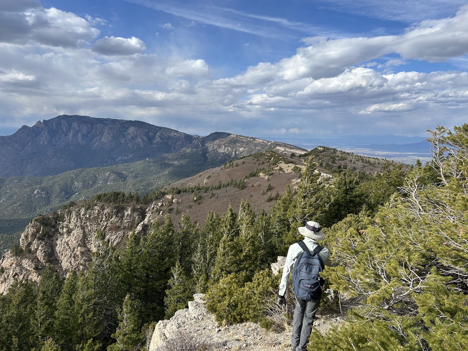
View from South Sandia Peak
Andrew, the mathematician who was actually a geologist at heart, with a special interest in lichen
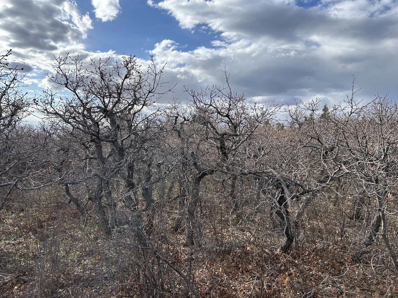
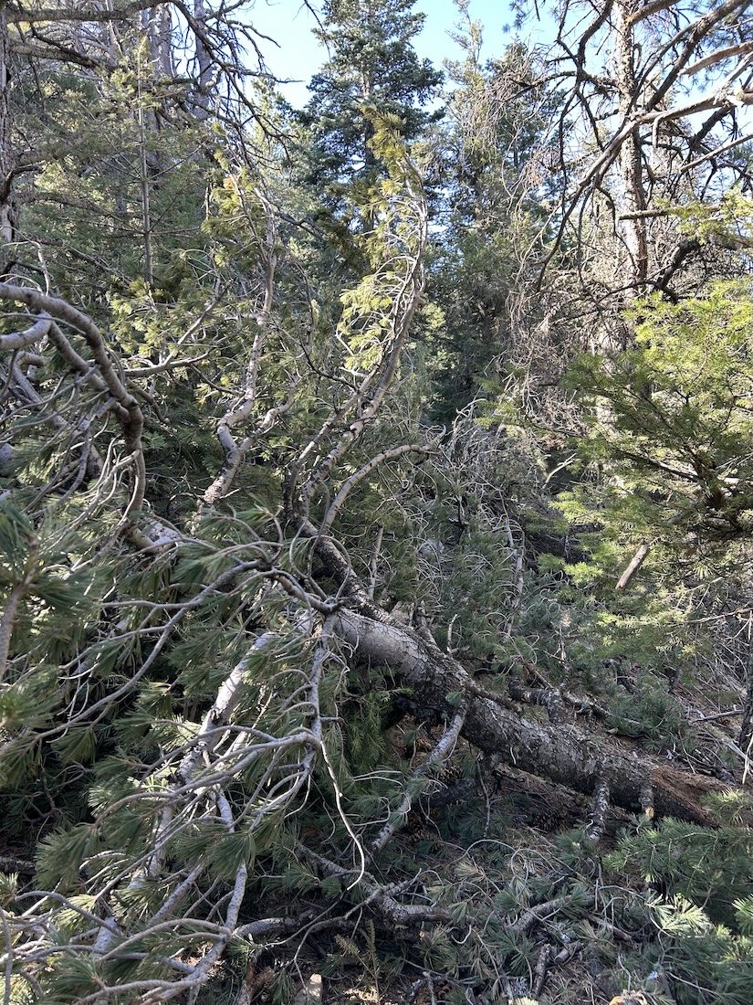
impenetrable gamble oak
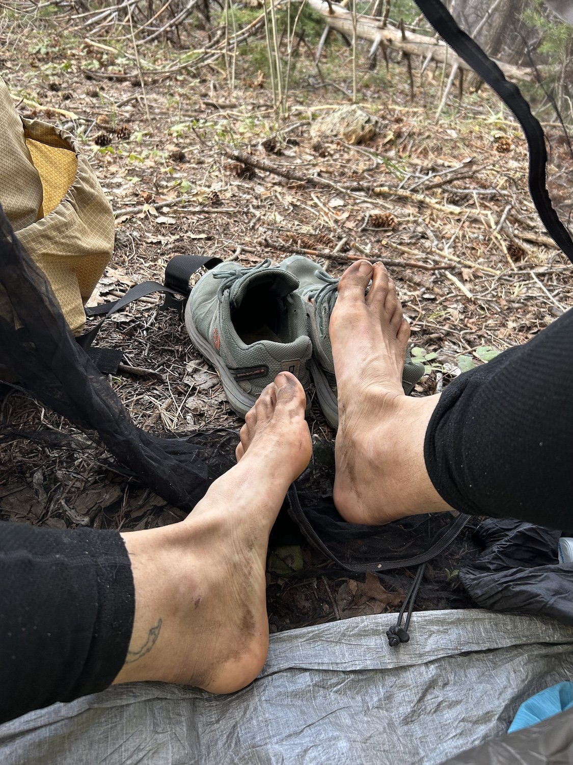
thank you tired feet


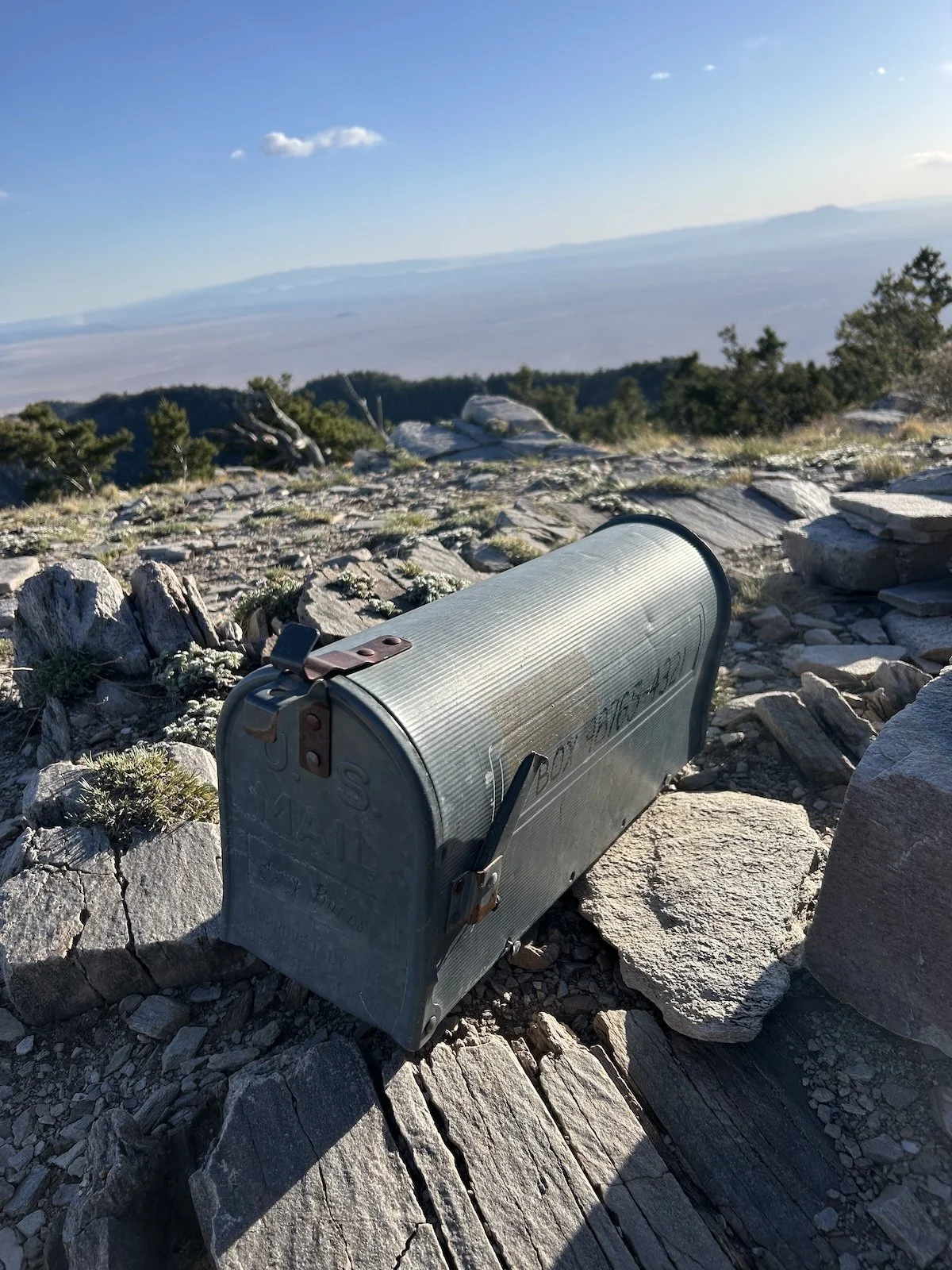
I found you
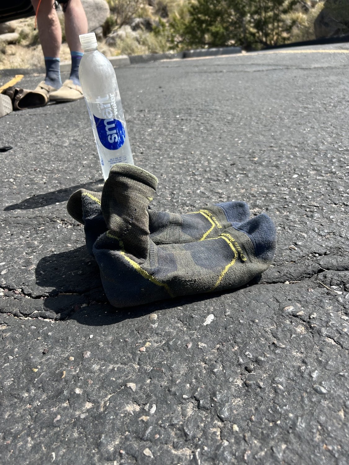
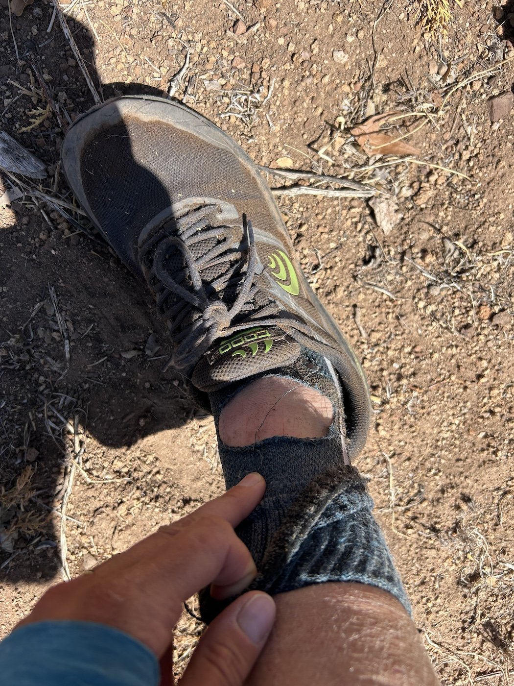
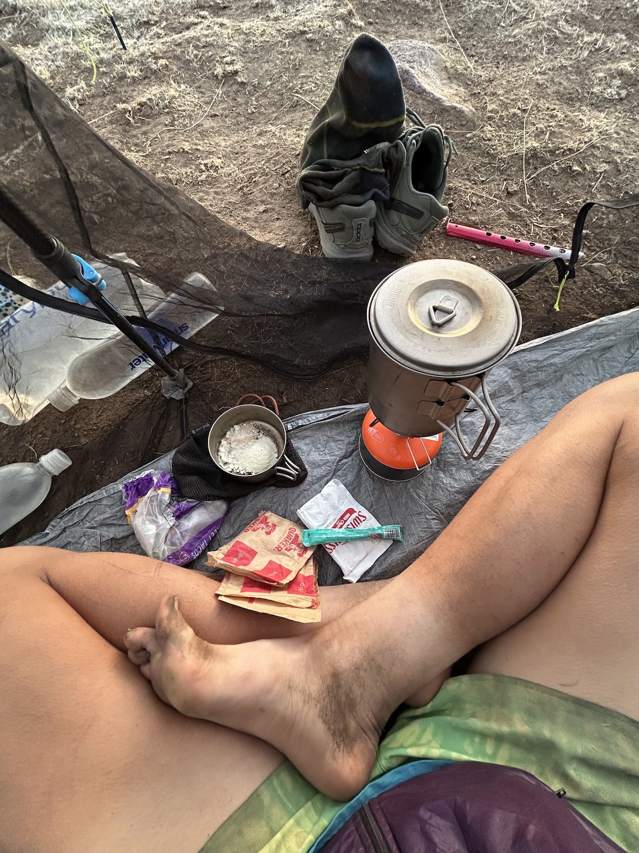
Arguably the best photo of the whole trip: socks stiff as boots