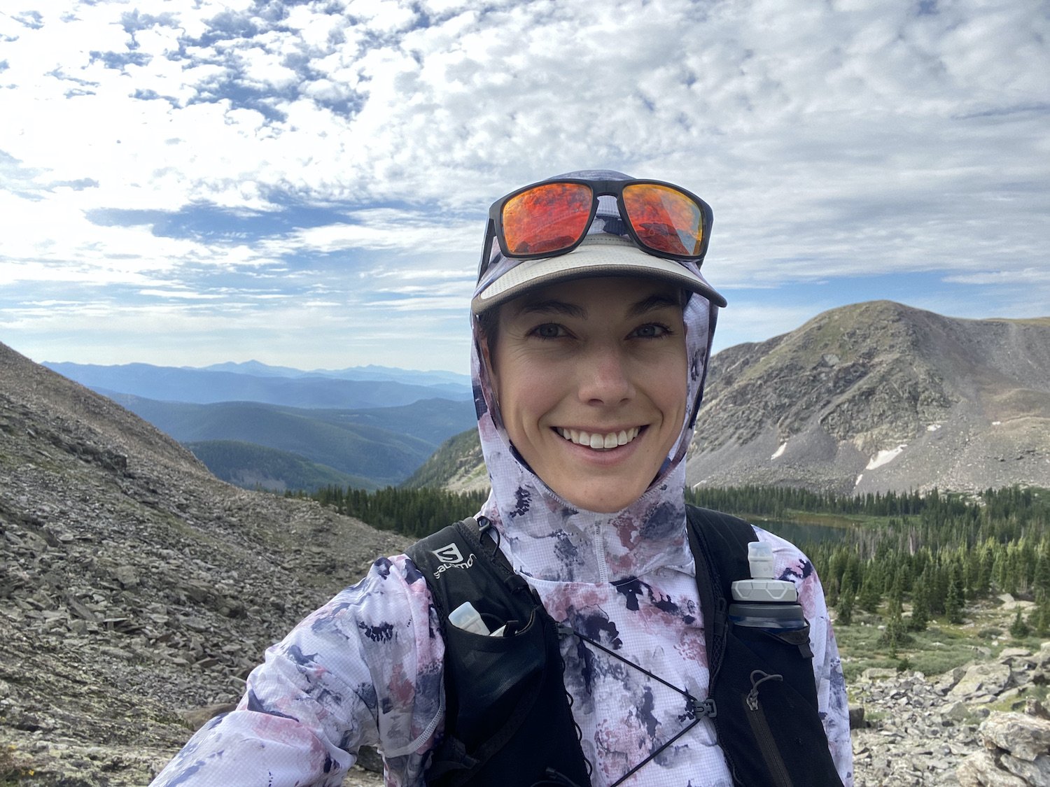
The Fossil Ridge Wilderness Loop
28 miles // 6,889 ft of climbing // 8hr 39min
https://www.strava.com/activities/9552990208
On Sunday July 30, 2023 I woke up to my alarm at 5AM, made a coffee, an egg & cheese bagel for the road, and departed Crested Butte for the Taylor River by 5:35AM.
I had my bike on the roof of my Tacoma, since I planned to shuttle myself from the Summerville Trailhead back to the Lottis Creek Trailhead at the conclusion of my run, where my truck would be waiting.
I decided I would rather bike the 4 miles of highway than run them, and I was really glad to have made that choice after such a huge day in the mountains.
I stashed my bike, helmet and liner shorts in the woods at the Summerville TH, locking all of them to a tree, and then I leapt back into my truck, urgently needing to find a pit toilet.
After stopping briefly at the Lodgepole Campground (just in time, too), I reached Lottis Campground and South Lottis Trailhead, where I parked my truck next to some young Ponderosa trees. I took care of some last minute items of business like sunscreening myself, slipping on my trailrunners, checking that my car was locked, and that I had everything I needed for the next 8-10 hrs stuffed in my running vest.
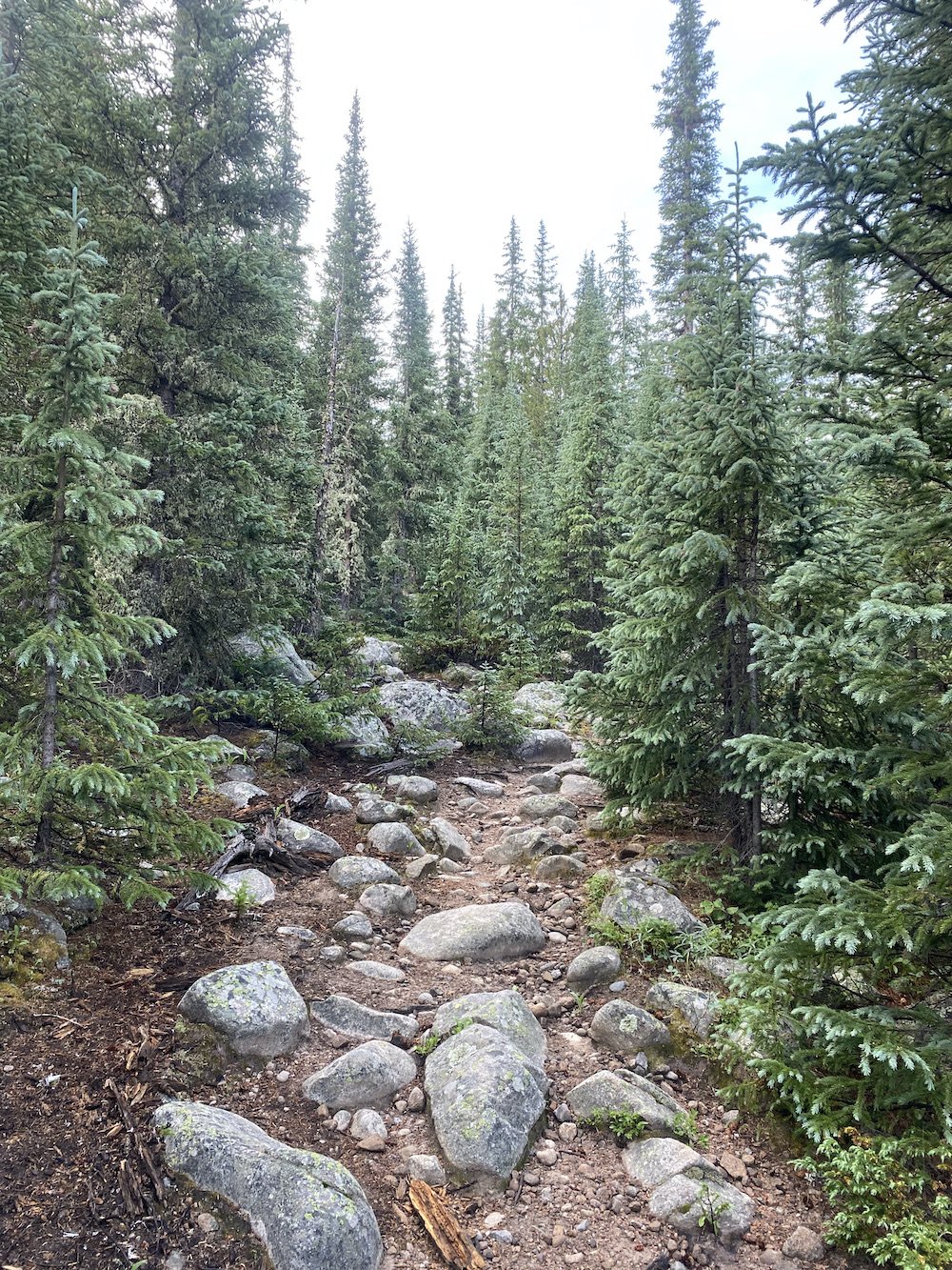
Satisfied I was ready to be out all day, I started my watch, crossed Lottis Creek and took off up the pine needle strewn trail into a healthy looking forest of timber.
I felt more excited than nervous, I truly thought the day was going to be a piece of cake all the way through until the end. Famous last thoughts.
The first 17 miles were smooth as butter & honey, though, so I will talk about this stretch first.
I ran the first two miles of trail, then power-hiked and jogged until the trail grew steep enough to exclusively hike. Once I passed the turn off for Henry Lake, the trail became intermittently faint, but easy enough to follow as there was really only one way to go—up the valley along South Lottis Creek.
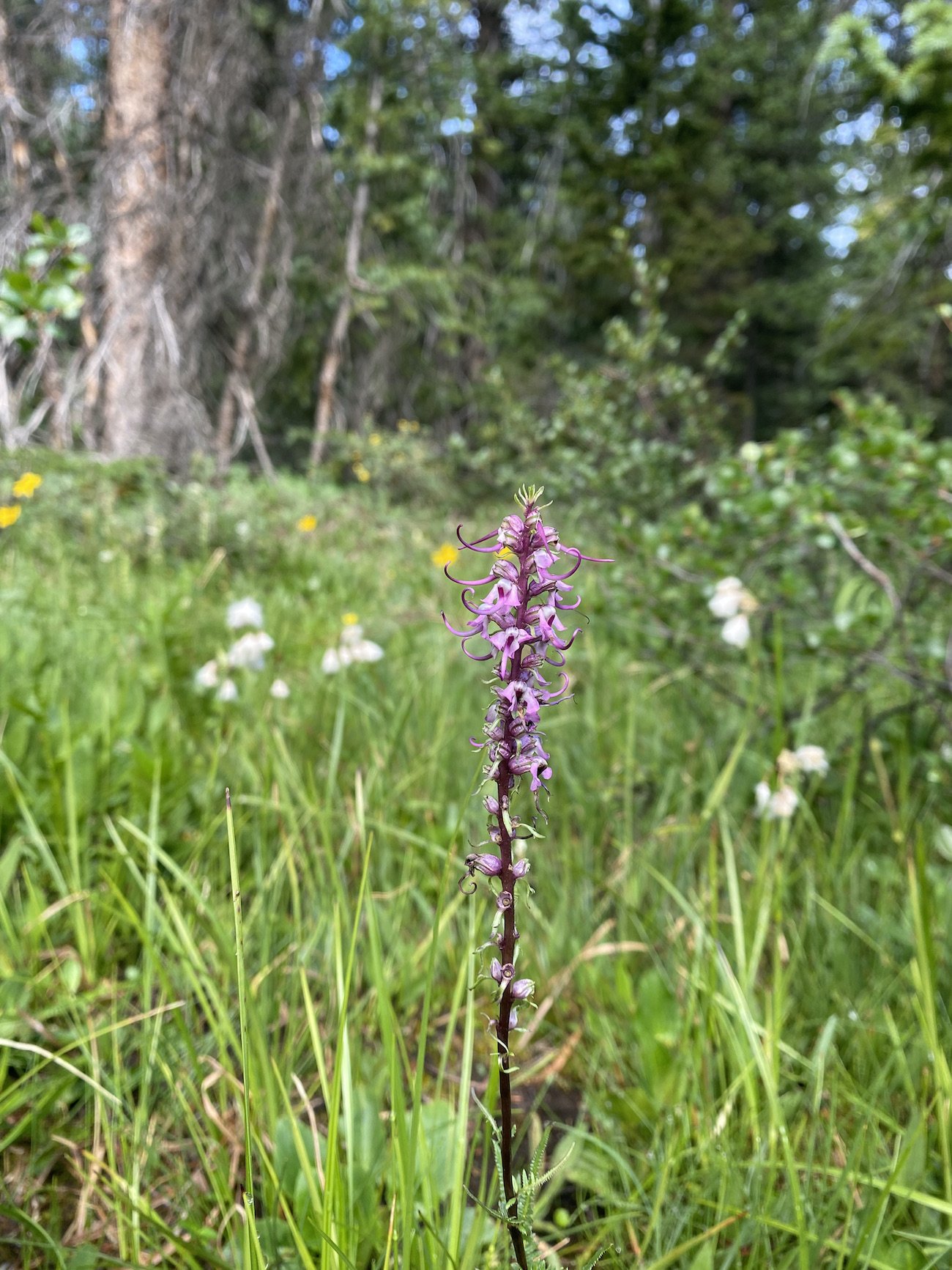
The valley was stunning and verdant, filled with Rosy Paintbrush, velvety purple Monk’s Hood and Larkspur, wild Geranium, Elephant’s Head, Globe Flowers, Yarrow, white Aster, and purple Fleabane. As I hiked I marveled at the health of the forest, its young timber and open forest floor; it felt like a joyful space, brimming with energy and new growth.
Rosy Paintbrush, Swamp Orchids & Globe FlowersElephant's HeadAs I entered the basin below Gunsight Pass, the trail disappeared entirely and was replaced by the occasional cairn or upright post, which led across the open landscape to the base of the scree field.
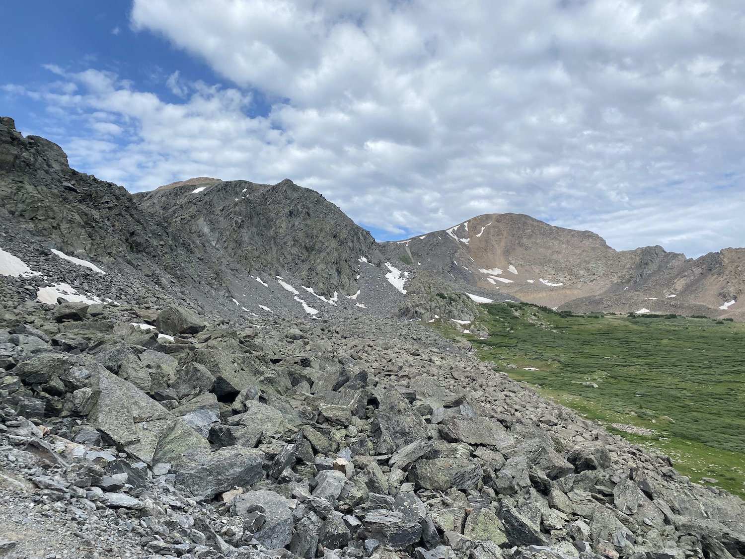
I felt like I was in a dream as I traversed the open basin. The lush grass was home to a multitude of wildflowers, each Paintbrush a neon beacon in a sea of green. When I reached the edge of the granite jumble, I was pleasantly surprised to find an impeccable trail built into the rocks.
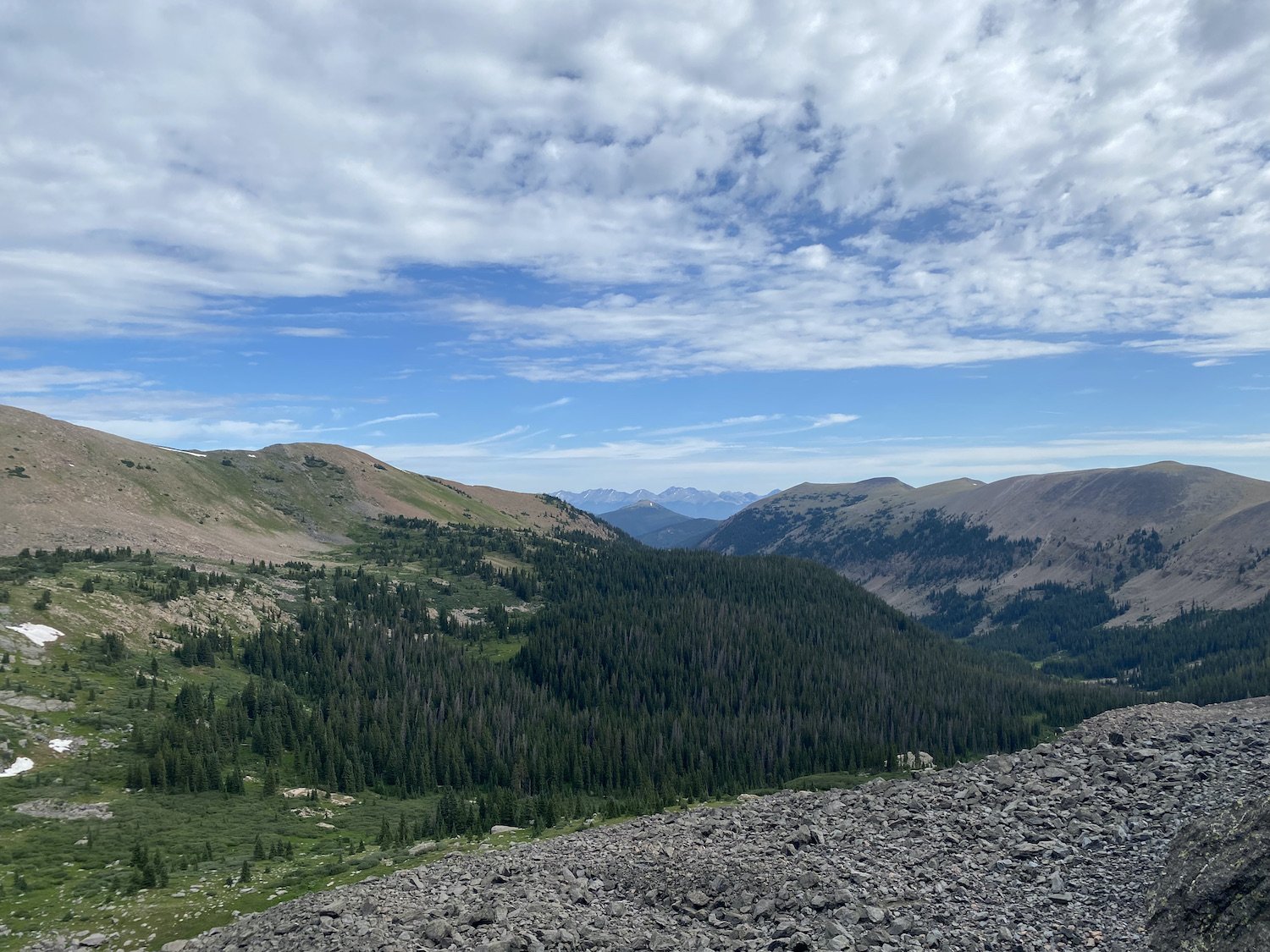
View of Gunsight Pass (the tiny notch) from the basin.View looking out at the basin from the climb up to Gunsight Pass.I followed the stoney path to the pass–a person-sized notch in the wall–which appeared exactly like a gunsight when viewed from across the basin. Delicate Skypilot flowers grew from cracks in the granite, and the surrounding rock was coated with neon yellow lichen, a startling contrast to the bright purple of the flowers.
Purple Skypilots and neon yellow lichen growing on the damp granite. Through the gunsight, beyond the rock wall, was yet another breathtaking valley, encircled by impressive, stoney peaks and filled with dark evergreens.
From whence I came, through the gunsight. I made my way down into the basin and the trail remained good underfoot; it seemed more people accessed the pass from this side, rather than from the direction I had come.
I passed two lakes on my descent and dropped steeply to Gold Creek Rd on the wide trail, pausing once to collect and filter some water.
The trail leading down valley from Gunsight Pass. I cut my tongue, of all things, on my soft flask nozzle, not realizing there was a hole with sharp edges in the rubber; the tiny perforation leaked and spurted for the rest of the day. Sigh.
When I reached the road, I turned right and jogged a short distance to the junction for the Fossil Ridge Trail. I didn’t pause at the trailhead–it was rather hot–instead I began the climb up the trail straight away, a relentless, 2,300ft of gain over the course of just 2 miles.
I passed three backpackers looking hot and tired, just before a small stream crossing at the turn off for Mill Lake; I filtered water there and splashed some on my face and neck before carrying on.
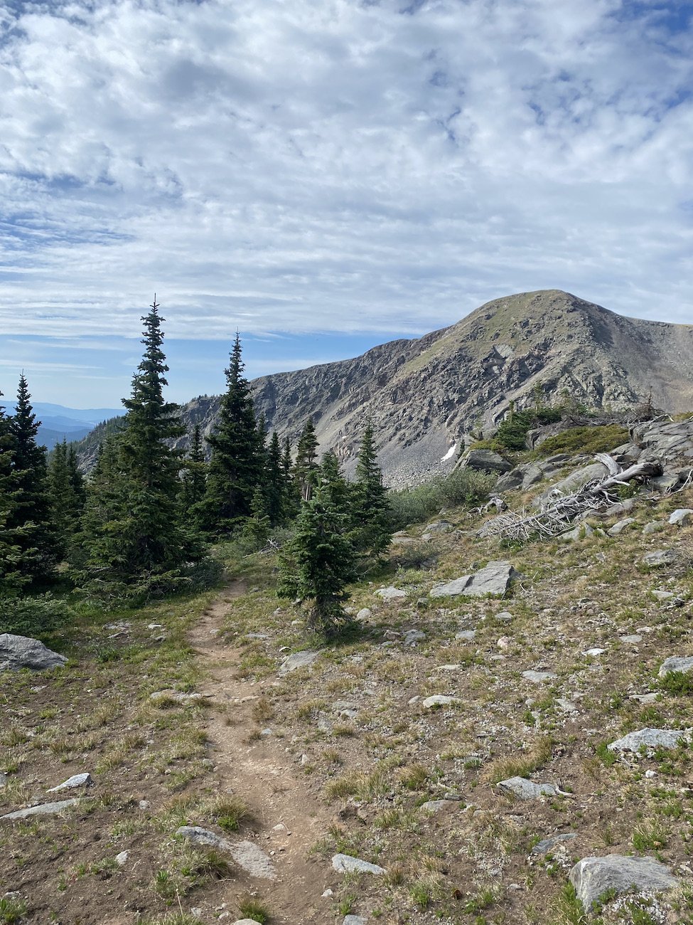
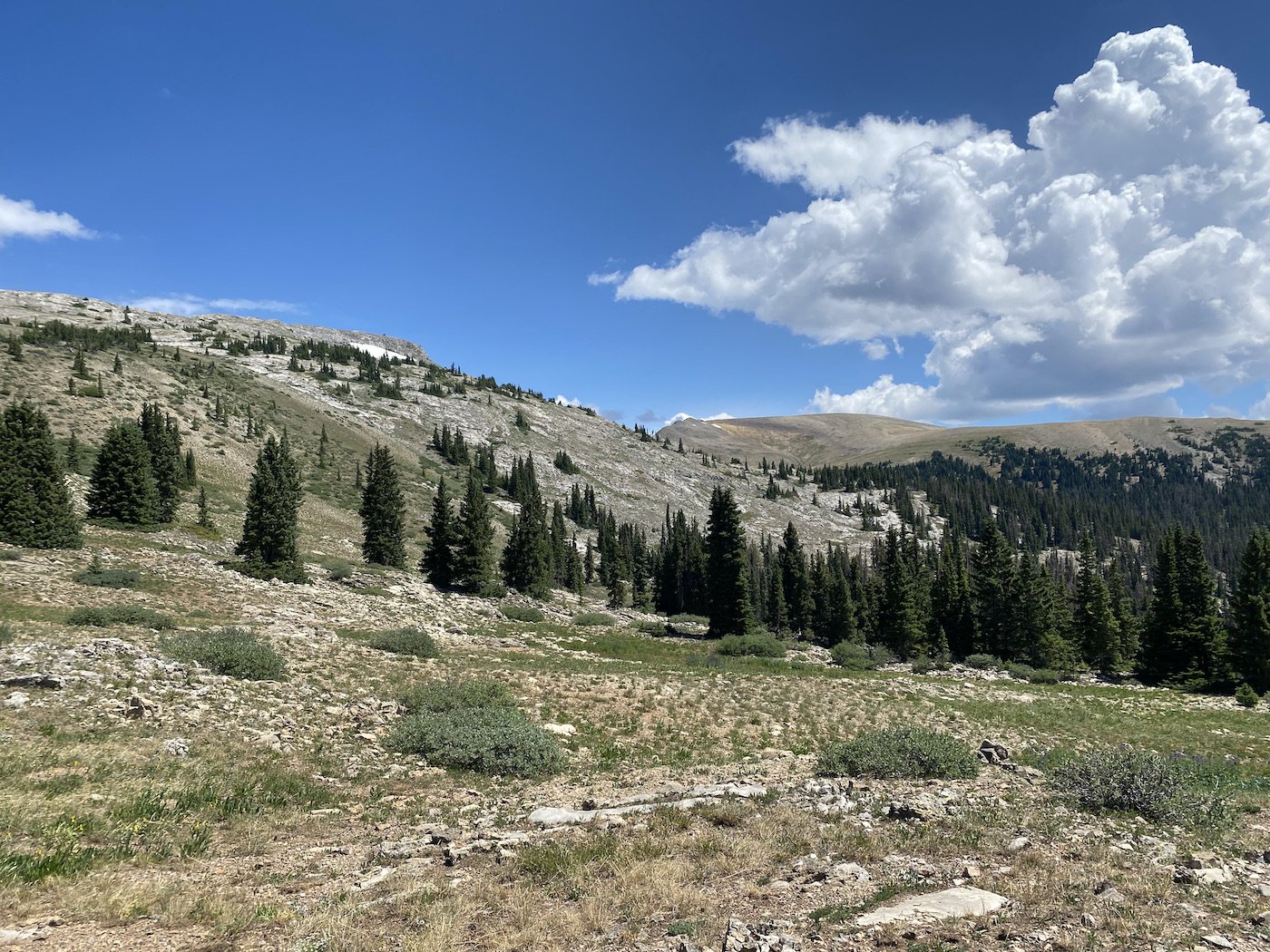
View of Lamphier Lake on my way down to Gold Creek Road.I wondered if the trail would take me above treeline, as it seemed to be an ever-climbing ribbon, snaking just below it. Eventually, after one final push uphill, it did! And the views were mind-boggling.
I’d never seen the Fossil Mountains before and I was in awe of their chalky, white peaks and sweeping prominence.
Once more I found myself surrounded by wildflowers; I passed through a sea of knee-high Navigator Sunflowers, and knelt down in the middle of the trail to observe two humming birds as they danced from one Scarlet Gilia to the next, dipping their needle bills into the narrow trumpets with lightning-quick efficiency.
Supposedly Navigator Sunflowers always face east, except for a few wonky ones with minds of their own. Feat. an alpine swamp on the Fossil Ridge Trail.The running was good for the next mile or two, and then I blew by the turn for the Summerville Trail, that should have been my cue that things were about to get hard. I noticed my watch measured my distance at 16.98 miles, and I had guesstimated the Summerville turn off to be closer to mile 16.5, so I backtracked.
A view into the Fossil Ridge Wilderness Area from the Fossil Ridge Trail.Upon careful inspection, I saw an old Forest Service sign leaning up against the trunk of a shady Ponderosa Tree, not oriented correctly, but marking the turn for my next trail all the same. I searched about for a trail, and not seeing nary a footprint or inch of disturbed soil, I sighed and walked where Gaia, my gps app, told me the trail was supposed to be.
A rocky trail materialized as I began descending off the ridge and I followed it in earnest.
A view of Fossil Ridge and, likely, Fossil Mountain.A brief aside: I was told (after the fact) that this tiny corner of land I traversed to get to the Summerville Trail is private property, an old mining claim held hostage by a man who wants the Forest Service to pay him too much money to buy it from him. He is not friendly to hikers, bikers, or moto riders. I didn’t see him, or a trace of a structure or sign marking the area as private, but in past years he built a yurt and had, at one point, put up gates. Until more is known, I can’t advocate for this exact route, nor do I want to set a bad example for other people.
I continued my descent off the ridge, distracted by the views and flowers, until I had the sneaking suspicion that I was not on route anymore. I was definitely on a trail, but when I pulled up Gaia, I was no longer on the trail. Since there was no signage for the path I was traveling on, and it wasn’t showing up on Gaia, I didn’t want to keep following it. I backtracked, instead, to the corner of a switchback where I thought I had seen the suggestion of a junction, and sure enough, the faint whisper of a “way” I had seen was the way I was supposed to be heading.
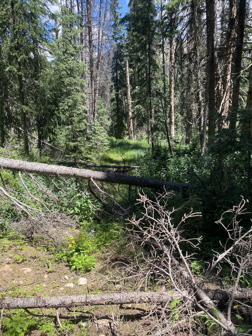
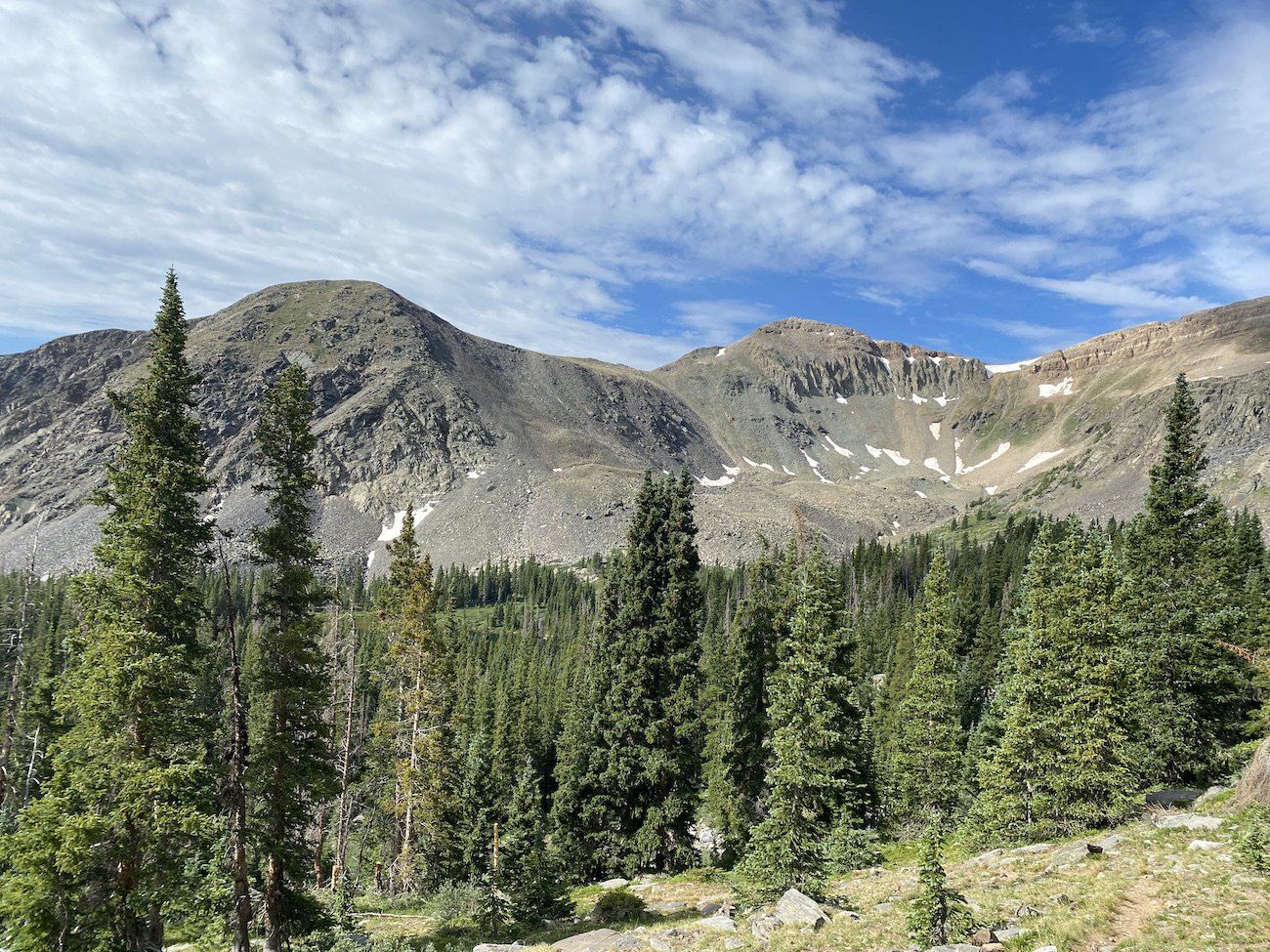
The only photo I took of the more rugged portion of my adventure, before things got really bad. I sighed and trudged down the vague track carefully, hesitant to run or hike quickly because I didn’t want to risk losing my way.
The trail disappeared in a meadow and picked back up in the trees; this game of peek-a-boo continued until the path disappeared altogether in yet another meadow, and was nowhere to be found in the dense timber on the other side. My heart raced and my mouth grew dry; I gagged on the Honey Stinger Waffle I was chewing (pretty sure these are ruined for me now).
Gazing into a forest filled with deadfall, snags, and thick brush, I was disheartened. The Summerville Trail was somewhere between 11-12 miles in length, and it was not a straight shot down a valley, instead it climbed over many small ridges, tracking back towards the Taylor River.
I’d seen the trail’s end when I stashed my bike, it looked pleasant, but I could not guess when this trail would become pleasant or even passable, there could be miles of bushwhacking between here and there.
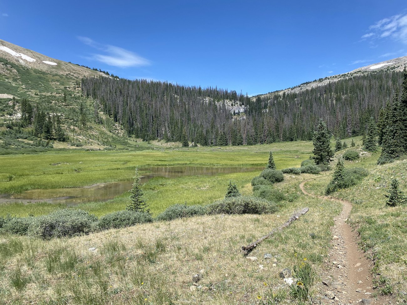
Flashback to the gorgeous basin on the other side of Gunsight Pass, above Gold Creek Road. Easier times.It occurred to me that I could turn back, I could retrace my steps all the way out Lottis Creek, but that would mean another 18 miles instead of 10. And Gold Creek road did not feel like an option–though it was closer–I just didn’t want to ask Logan to pick me up way out there unless it was absolutely necessary.
So I swallowed my bile and in I went. I battled my way through the sharp jungle-gym, climbing, stumbling, cursing my way over one blowdown after another. The ground was covered in thick brush and so I couldn’t see when it dipped or rose beneath my feet. The hill descended steeply down, and then it ascended steeply up with little warning. I kept my eyes on the tiny green line on Gaia which told me I was sort of in the right place, heading sort of the right way.
I grew increasingly more panicked, claustrophobic, and nauseous the further in I went.
When I turned to look behind me, I couldn’t even make out which direction I’d come from; at that point, I knew I was committed to the path I’d chosen.
Flashback to the view on my climb up Gunsight Pass. Happier times.Forward was my best option.
I tried to calm the roiling in my gut, I took deep breaths, I refused to cry or whimper. I stayed focused and continued crawling my way through the forest, keeping a watchful eye on the map on my phone, my little orange arrow hovering around the green dotted line but never quite on it.
In a moment of brilliance or desperation—I don’t know which—I decided to hike directly up into the worst of the snags. Counter intuitive, but I was following a hunch.
My decision paid off as I caught a glimpse of semi-trod dirt between a tangle of blowdowns. Could that be the trail?
Even as this suggestion of a trail continued to show itself every now and again, then with greater frequency, I never fully trusted it. I still had to cross Crystal Creek and then another meadow, where I feared I would lose it again.
I continued scrambling over blowdowns, eyes steadily fixed on the understory, feet crunching on dead branches, fingers raking through bushes, eyes down, then up, then down. A quick check on Gaia confirmed I was on route.
The creek crossing turned out not to be the demise of the trail, which continued to improve marginally as I climbed up another ridge and then contoured its slope.
I noticed an odd junction over my shoulder as I passed it, half of an ancient Forest Service sign, tired and leaning against a tree, which pointed towards Fossil Ridge proper. I didn’t see much of a trail in that direction though, and half the sign’s story was missing.
I was so focused on hiking and willing the trail into continued existence, I almost missed a stunning lake which popped up on my right like a glowing beacon of good fortune. Behind it were chalk-white walls of rock, and its water shone clear and inviting. I couldn’t resist.
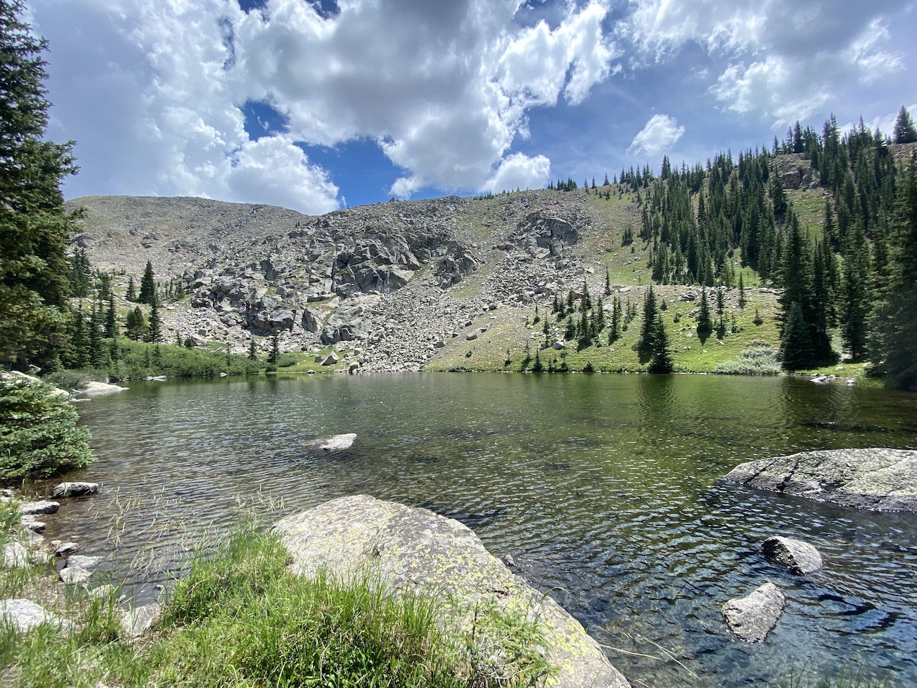
A magnificent lake, not marked on the map.I dropped my Leki poles, ripped off my velcro hand straps, ditched my running vest, all my clothes, my watch, my shoes and, dodging horseflies, I launched myself into the lake’s cool embrace. It was magic. Plain and simple. It brought my body temperature and my stress levels down several degrees–even the knots in my stomach loosened.
I looked ahead at the trail and saw that it continued, now all I had to do was follow it.
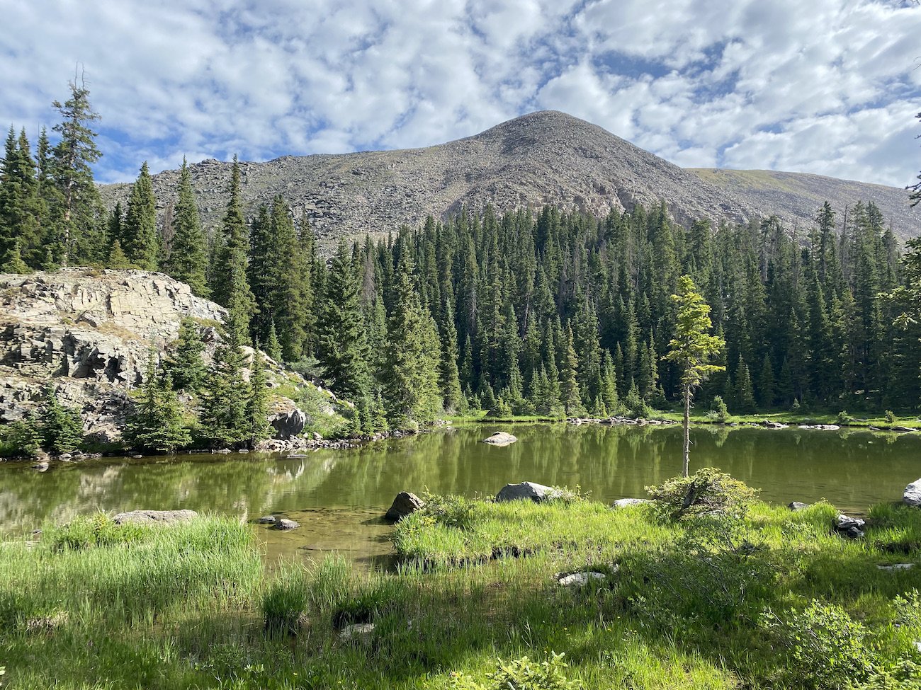
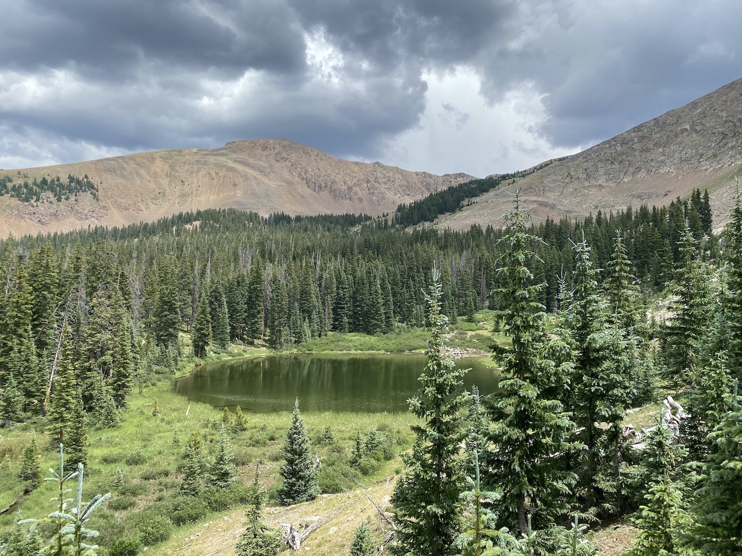
The Summerville trail continued to improve between the “unofficial” lake I swam in, and the next one which actually appeared on the map but was unnamed, the view of it as I descended a series of steep switch backs was incredible.
Unnamed lake on the way down the Summerville Trail, a storm brewing in the distance.I ran the remaining 6 miles from the last lake, pausing once to filter water for a fourth time that day, and to stuff some much needed calories into my mouth. I was proud of all the empty wrappers in my vest, it meant I’d accomplished my goal of actually eating the food I carried; my energy levels were proof of a mission accomplished. I felt strong–tired, but strong.
As I approached the trailhead and my bike (yay!) the air became smokey. I knew the wind had carried it here from the Lowline Fire at Mill Creek, but it was still disconcerting. And, completely unrelated, my chest was tight and catching–full of spiderwebs, is how I describe the sensation–which was becoming a common theme after a day of exerting myself at high elevations. An inhaler is on my list of things to get.
I ran the final mile of the Summerville Trail, pausing every now and then to cough, when I finally caught a glimpse of my bike through the trees. I was flooded with relief. I stopped my watch, tramped through the forest and collapsed next to its purple frame. It was over.
And then I cried. I cried and stuffed Fritos into my mouth between sobs.
I felt really proud of myself and what I accomplished, and I felt like I could finally relax and let the wave of overwhelm I’d been holding at bay wash over me.
I was safe now, all I had to do was bike 4 miles to my truck and drive home.
I messaged Logan on my InReach to let him know all was well–I’d sent him a message earlier amidst my bushwhack that had sounded rather disheartened–I wanted him to know I survived and was on my way home.
I don’t write trip reports for all of my long runs or hikes; for example, last summer I did a traverse of the West Elk Wilderness (largely off trail) with my friend Lynn, and while the day was challenging physically, I never once felt worried we wouldn’t make it. The route unfolded smoothly, in fact, as navigating cross-country in the alpine can be rather chill.
This adventure, though, given I was alone, saw very few people, and had to bushwhack through a densely forested area without a clear line of sight, felt like an important one to document. I have since talked to two people who have done the Fossil Ridge Wilderness Loop, both struggled like I did on Summerville, one decided it wasn’t worth it and turned around—I don’t blame them in the slightest. Personally, I have no interest in revisiting the upper portion of the Summerville Trail anytime soon, at least not without a buddy.
Bushwhacking is better with friends.


