
The Grand Enchantment Trail: Mogollon Crest to Monticello, NM
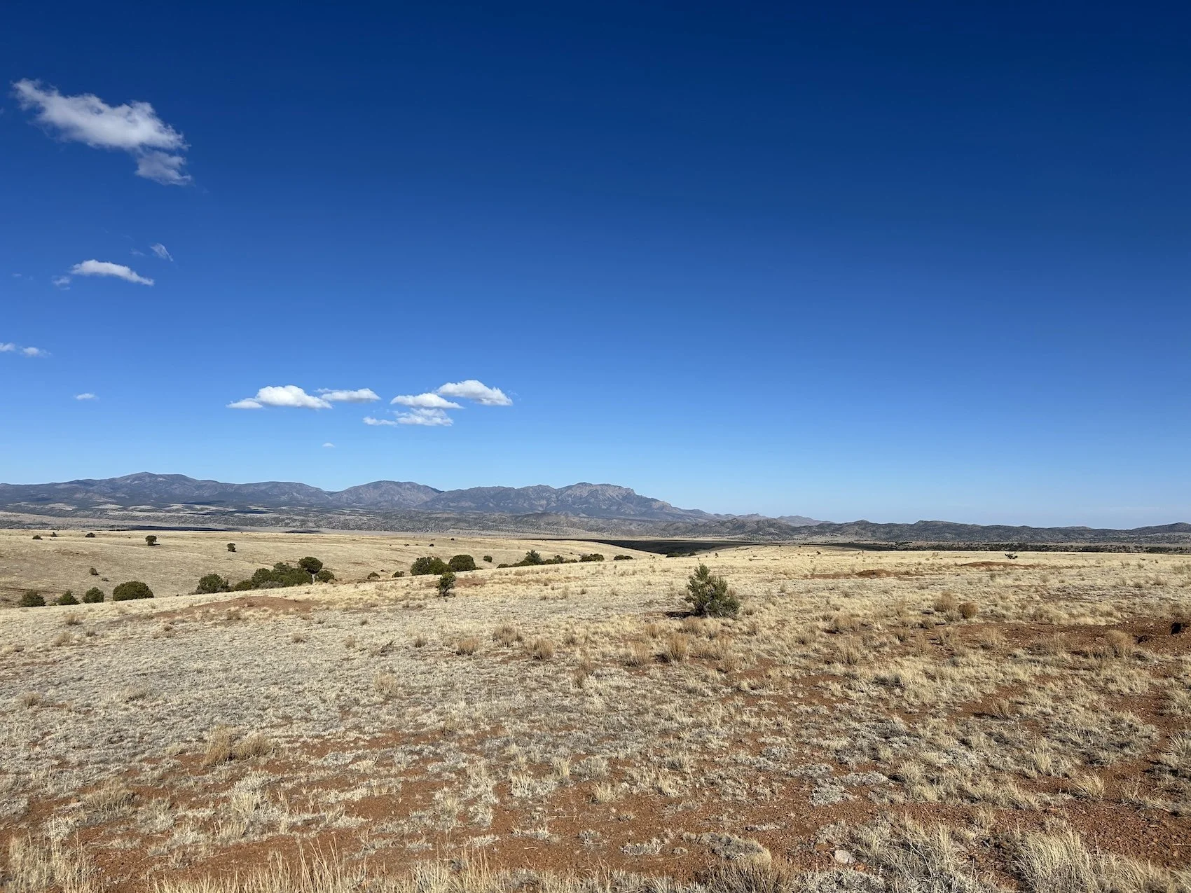
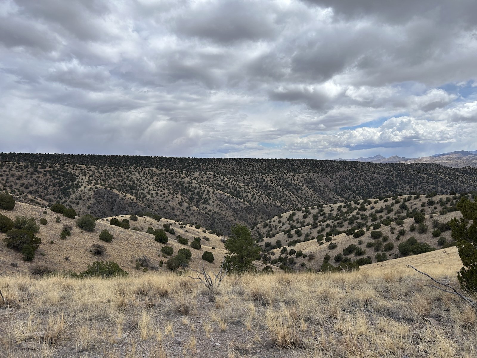
A long exposed mesa after the Black Range
“Sometimes the desert exhilarates me to the point of soaring. Other times I am so heartsick I cannot bear up against the despair, a palpable, aching longing. Longing for this wild beauty to last and for me never to die and no longer be able to feel, see, hear, taste, and breathe it. A yearning to die before the desert's wild heart is lost so I do not have to witness it. A longing to be a better person, for the world to be a better place, for us to truly measure up to this land, for this land not to be a battlefield of anger and greed. When these two opposing conditions, elation and despair, follow one another too quickly, the universe seems careless and precipitate. I soar, I crash, a squall of heat let loose in the ethos. Or else I get hungry.”
― Ellen Meloy, The Anthropology of Turquoise: Reflections on Desert, Sea, Stone, and Sky
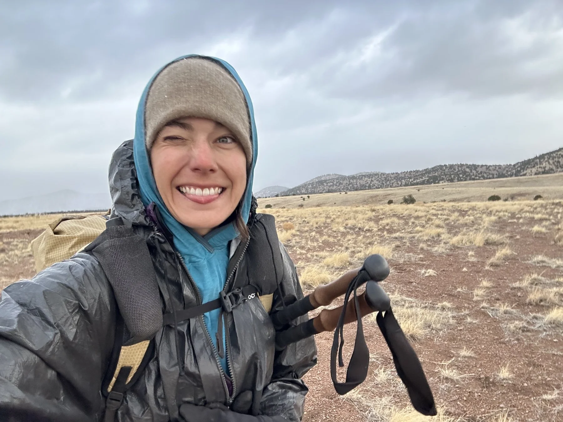
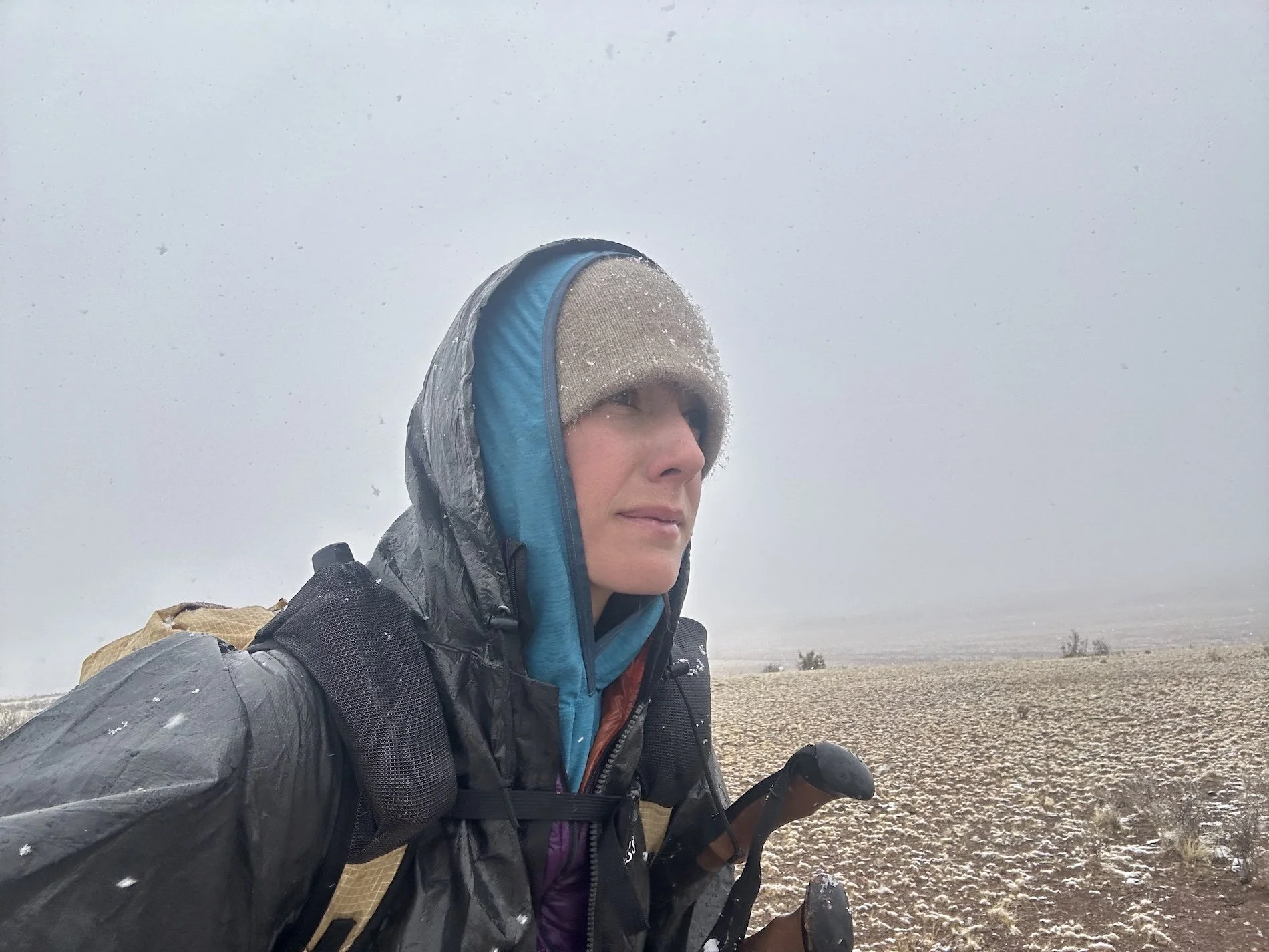
Day 22: April 14, 2025 // 23.48mi, 2,516ft+
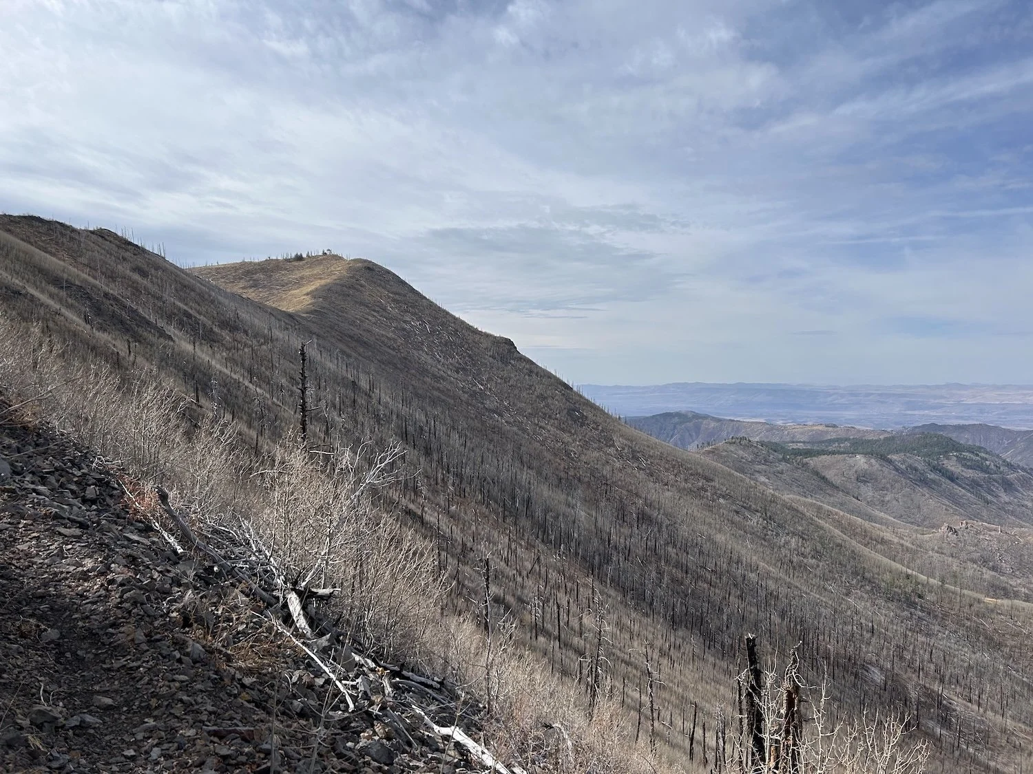
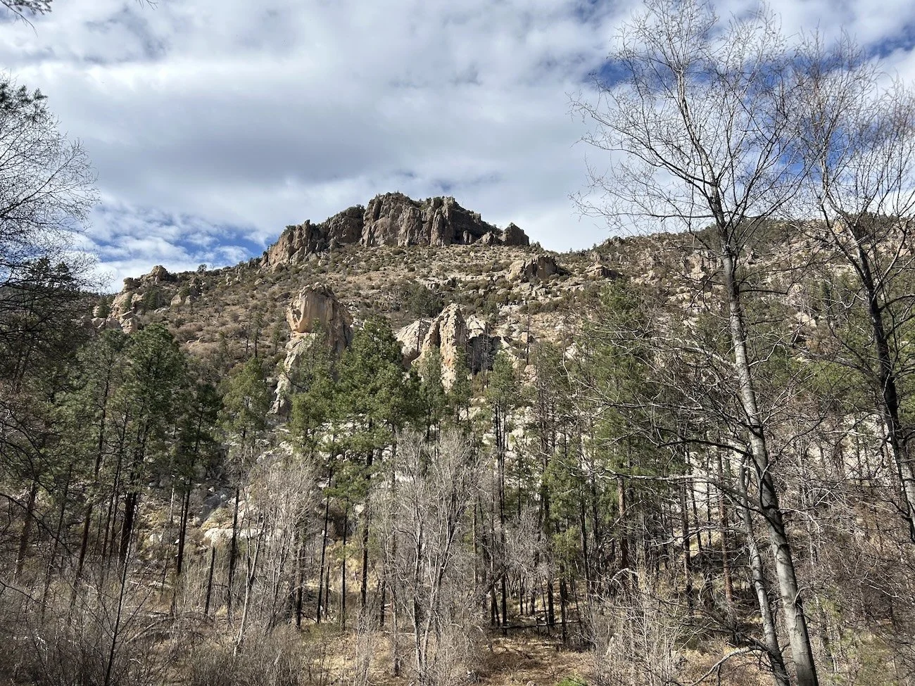
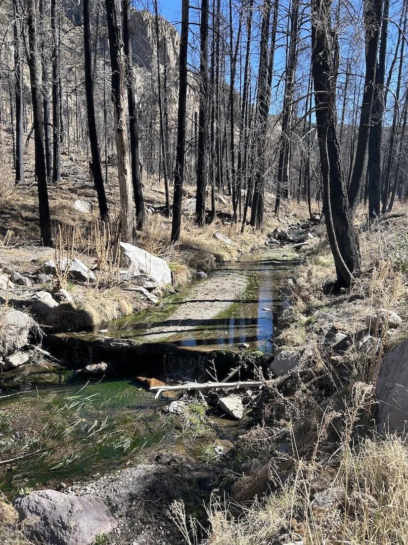
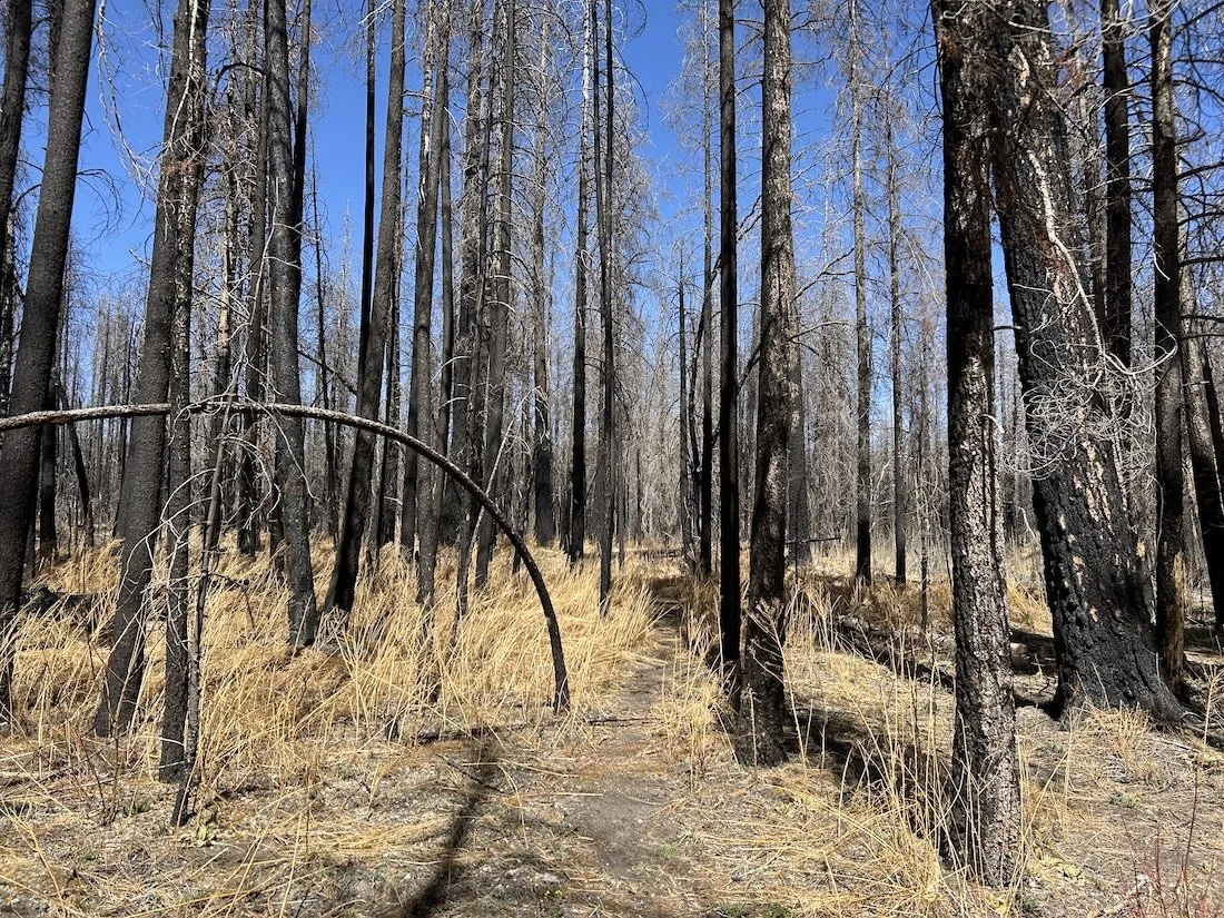
Burn scar in the Gila Wilderness from the 2012 Whitewater Baldy Fire, which burned 297,845 acres of the Gila National Forest; the fire was started by two separate lightening strikes.
I dreamt I walked through a landscape of driftwood spires and sun-bleached bones standing erect alongside the charred, cinnamon stumps of the ponderosa. I carried with me a shovel; when I paused in my walking atop a broad saddle, where many trees lay fallen in heaps around me, I dug my spade into the ashy soil.
I pressed down the handle and wrenched against the earth. I expected it to yield in a soft puff of dust; instead, a wet tearing filled my ears. I looked to the spade and saw it held a heap of torn muscle and sinew, coated in silken fascia, punctured with shards of bone. At once I threw down the shovel and fell to my knees, pressing my hands into the dirt; only then could I feel the steady thrumming in my bones.
—a dream on Hummingbird Saddle
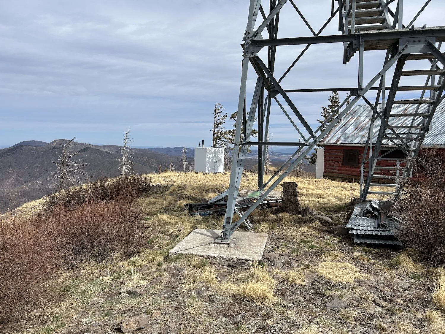
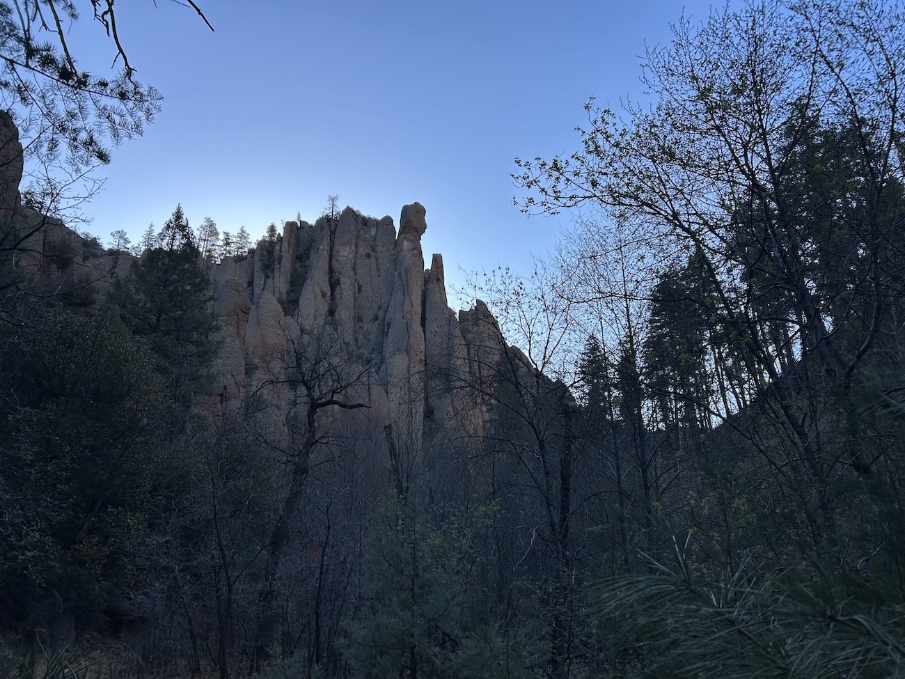
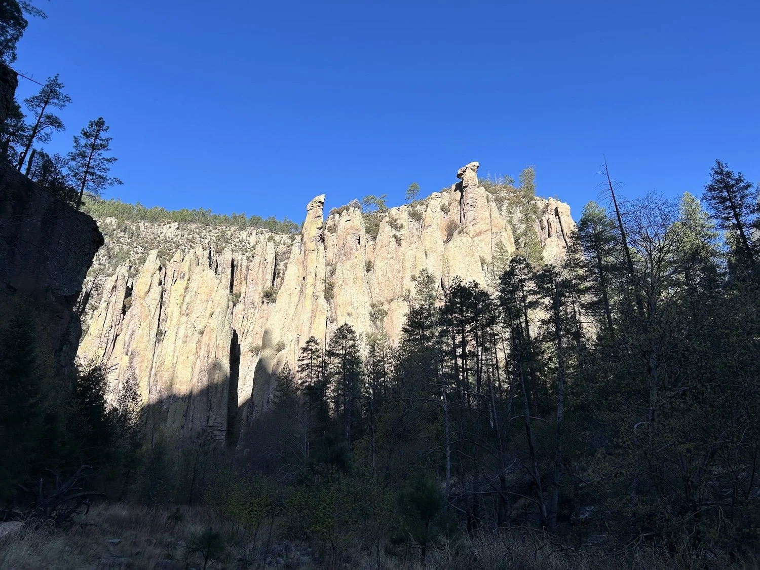
The summit of Mogollon Baldy
The scratches on my legs tell all; the hike up Mogollon Baldy was much better groomed than the descent, which was a mire of thigh-high thorn bushes and scratchy brush. I put on my FrogTog rain pants to give my raw skin a break, but I fear the Togs did not survive the ordeal. I emerged from a particularly dense patch of hooked and needle-like vegetation with the thin material hanging from my waist in shreds.
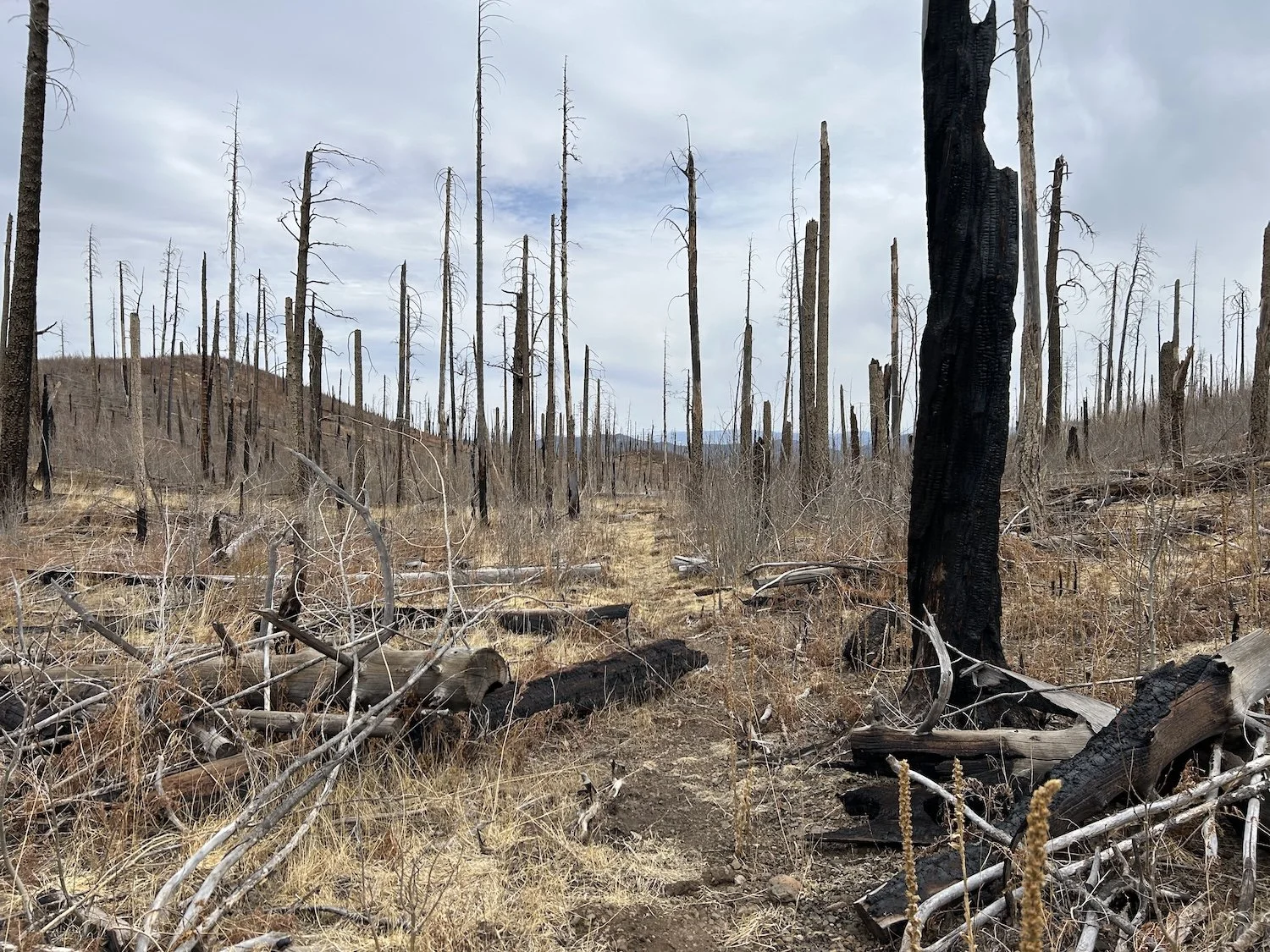
Faint trail on the descent from Mogollon Baldy
As I descended from the highpoint of the Mogollon Crest, I contemplated whether or not I wanted to continue my hike after Gila Cliff Dwellings. I was dogged by strange dreams that felt overly vivid and left me unsettled; I knew the trail could get harder as I continued on into mountain ranges home to burn scars that would not have received attention as this one had; I worried about long water carries and increasingly remote terrain.
I wove my way through fallen trees, my legs coated in char and, in some places, bleeding; clouds of ash rose around my shoes with each step. My gaze was trained on the ground and so I did not miss it when a bear’s prints joined my own. I stopped to consider the size of the paw compared to my shoe. It was uniquely special to share a trail with a wild animal, for their footprints to be the only ones I’d seen in a day and a half. Maybe I could finish this trail—others had before me—maybe I didn't need to quit.
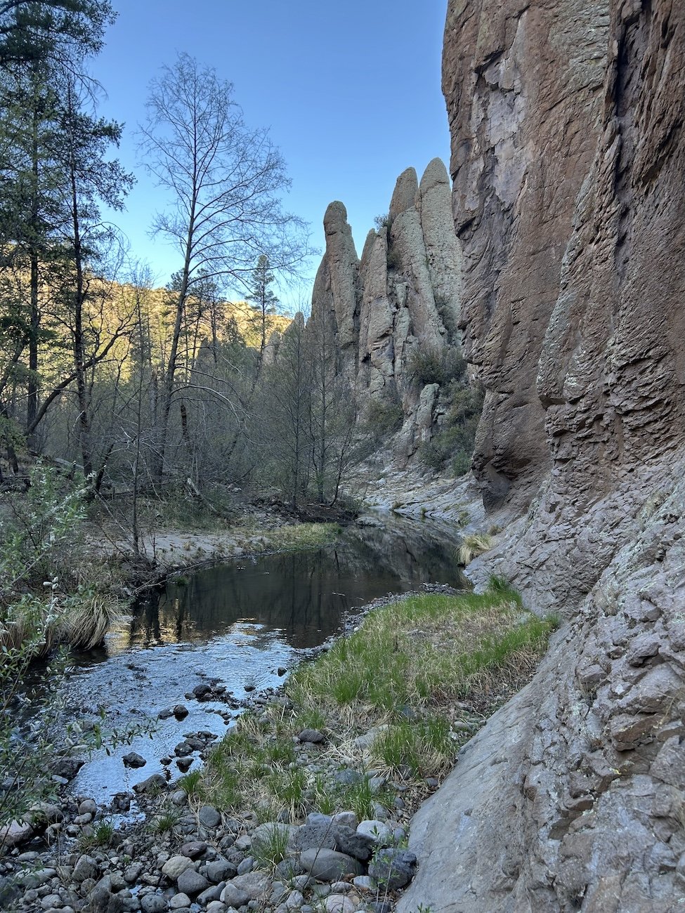
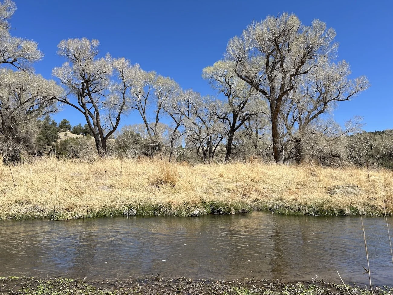
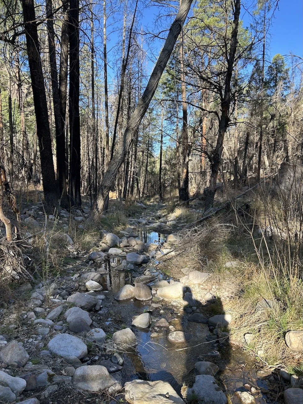
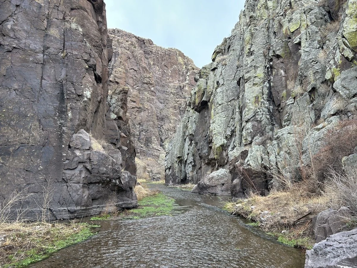
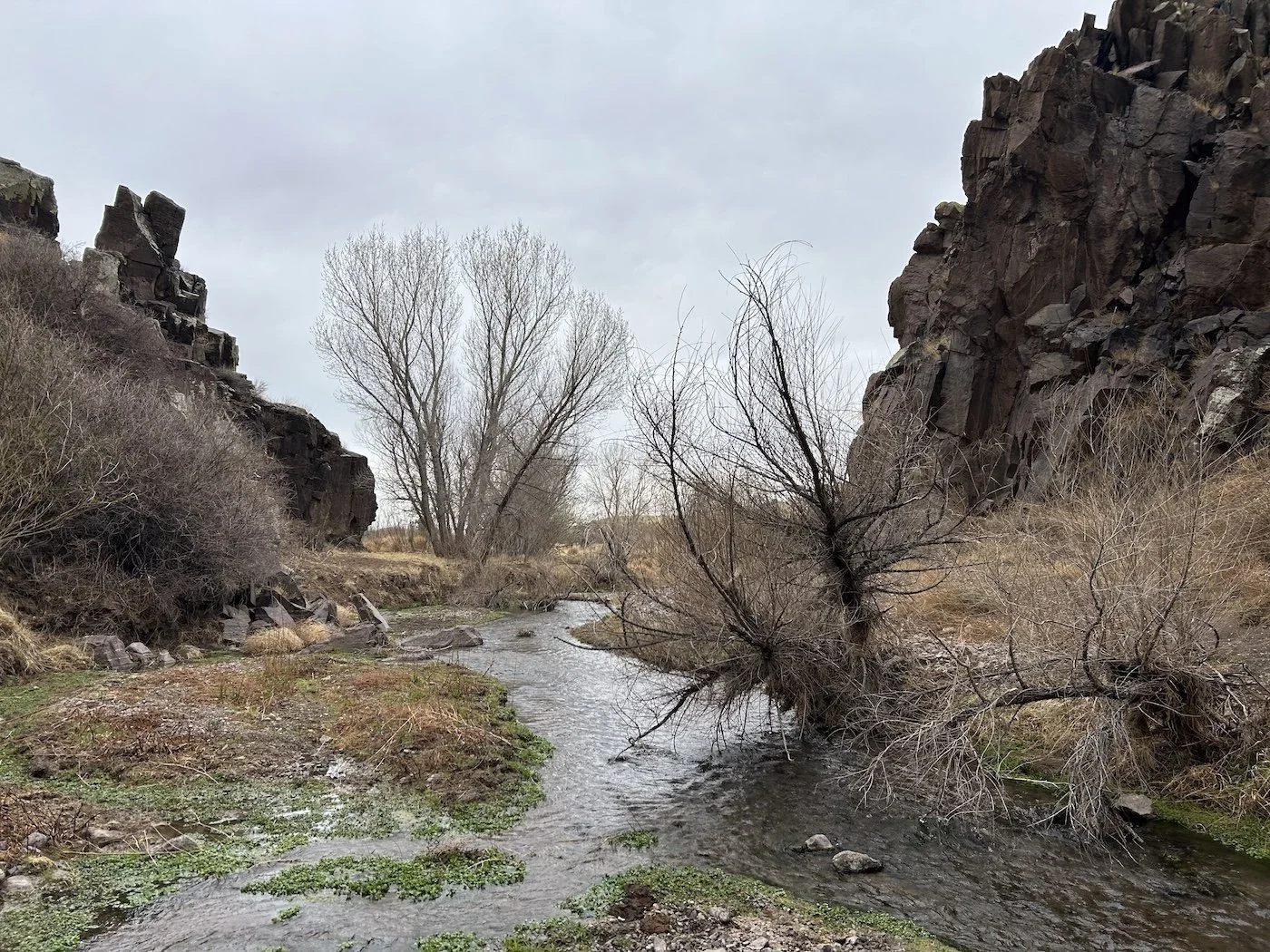
West Fork Gila River
I descended to White Creek and forded, joining the West Fork Gila River less than a mile later at its confluence with White Creek. When the day began to fade, I made camp beneath the ponderosa along the southern bank of the West Fork. Tomorrow I would follow the river all the way to Gila Cliff Dwellings to meet Sarah and Tim.
Day 23: April 15, 2025 // 13.71mi, 948ft+
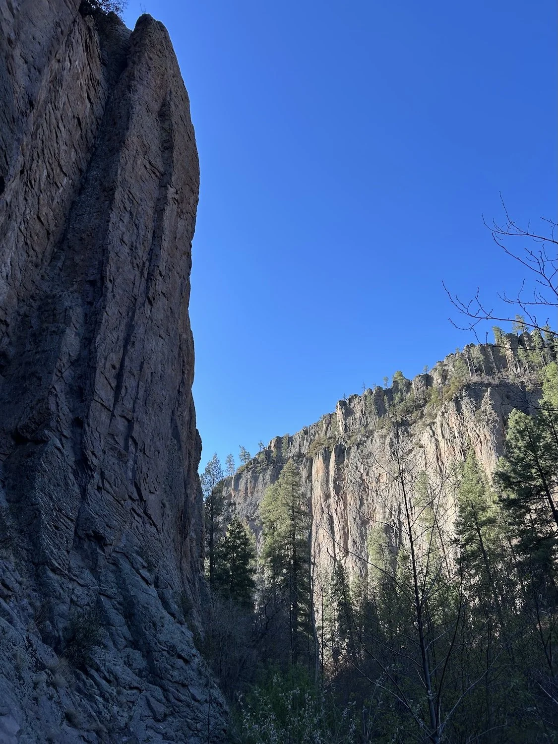
Rock formations along the West Fork Gila River
The next morning I hiked back and forth across the frigid river, shivering in the shaded canyon. My feet felt like hooves, so numb I hardly knew where I was stepping. When the sun finally touched me, I felt my body begin to thaw.
My steps grew lighter the closer I got to company. I had stumbled out of Arizona feeling like a chewed piece of meat coming unstuck from the teeth of hungry beast; but I felt renewed walking in the cool waters of the Gila. I could go on, I must.
Rock formations along the West Fork Gila River
West Fork Gila River
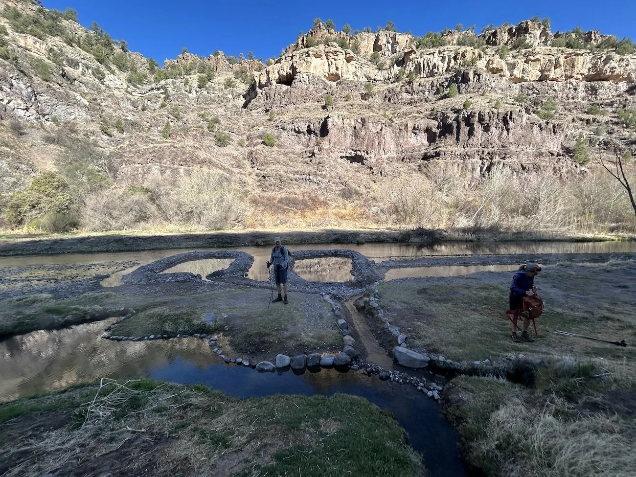
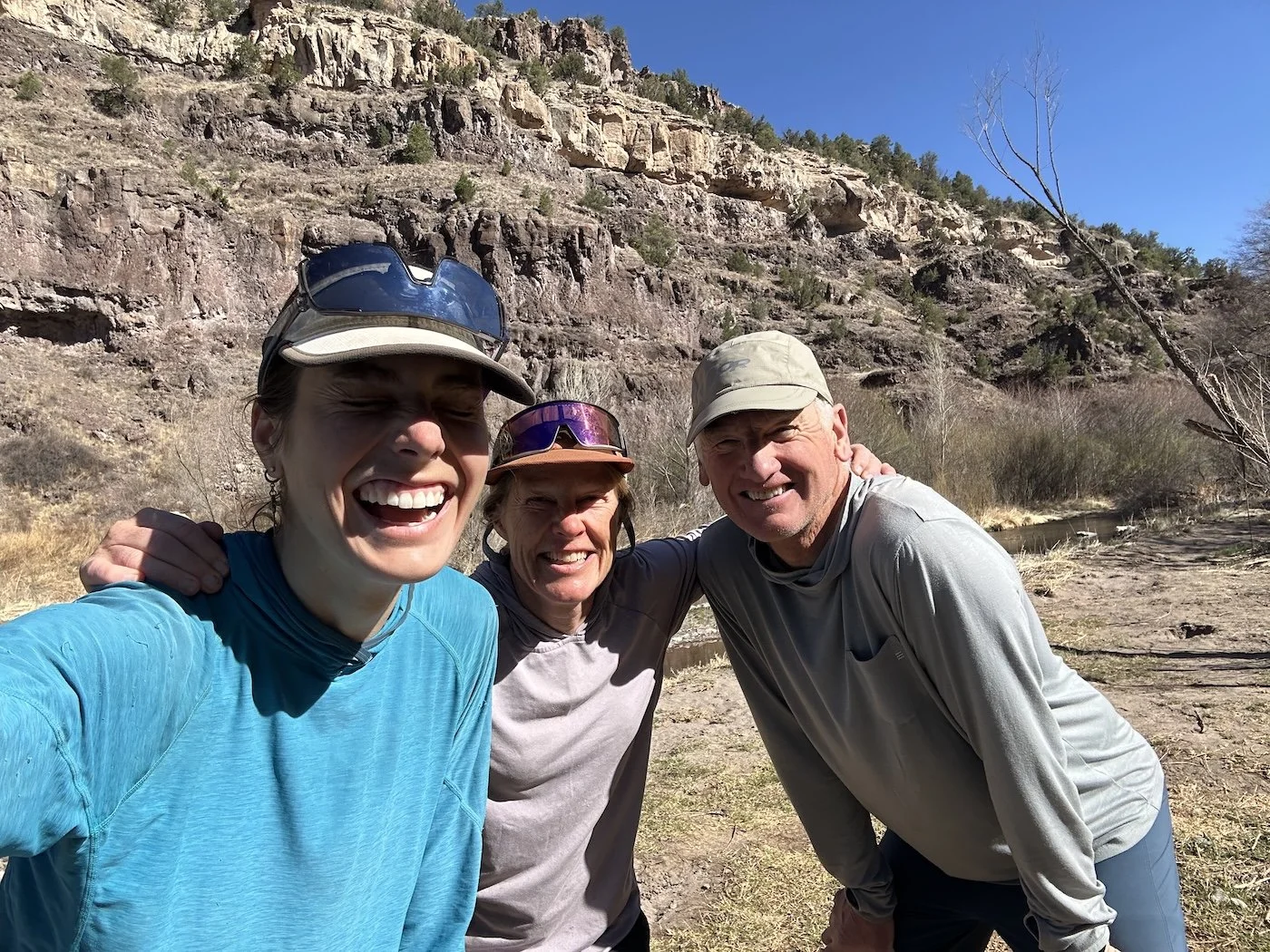
I picked up the pace with only a few miles left to the trailhead. I knew Tim and Sarah were hiking towards me on this trail and I was eager to see them; I’d felt so lonely these last few days. I had my head down, focusing on the alternately stoney and deep-sandy trail, when suddenly two figures jump out from behind ponderosa trees ahead of me.
“Hey!” I said. “I’m so happy to see you guys.”
“Us too!” Sarah and Tim gave me hugs and clementines, which I devoured gratefully.
We stopped occasionally on the 4 mile hike back to camp to spy birds through their binoculars, chatting all the while. I was relieved to have made it this far, and having their company suddenly made me hopeful that I could go on. I’d never endeavored to complete an adventure quite this rugged or this lonely. It was so easy to romanticize the GET from the comfort of home, but leaving the familiarity of my life to struggle in the desert without the benefit of commiseration with other thru-hikers was really quite hard.
As I write about my trip now, I want to gloss over the homesickness I felt, the fear, the doubt, the weakness, but skirting the truth doesn’t do anyone any favors, least of all me. Because the next time I dare to venture into the desert, and trust me, I already have solid plans to do so again two months from now, I want to remember that it probably won’t feel easy, but that doesn’t mean it isn’t worth it.
Sun touching humanoid-rocks above the West Fork Gila River
When we got to Tim and Sarah’s van, we piled inside and headed over to Doc Campbell’s Post to get ice cream and utilize the power outlets on the side of the building. With less than perfect WiFi, I called Logan and caught up with him. I missed him and the pull to call it quits, pile into the van, and head home with Tim and Sarah was strong.
Back at the site Tim and Sarah had booked at Lower Scorpion Campground for the night, I set about rinsing my socks, and exchanging my beat-up trail runners for the new pair I’d sent with Tim and Sarah, every action cementing the belief that I would go on. I thought about Jeff from Clifton, how he’d called a friend on speaker phone to tell her I was walking all the way to Albuquerque; I thought about the girl who was hiking the GET a few days ahead of me, using it to link the AZT to the CDT for her Great Western Loop hike; I thought about how I’d feel if I came home now, having left something like this so completely unfinished.
“I’m going to stay,” I said at dinner.
Tim was grilling bratwurst on a Coleman stove, while Sarah chopped peppers.
“Oh?” Sarah looked at me with some surprise.
“I need to finish this trail or I will regret it.” I used a second knife to cut thin slices of cheese from a block of cheddar. “I don’t want to have to come back out here, you know?”
“Okay,” Tim said, and we didn’t speak of it again.
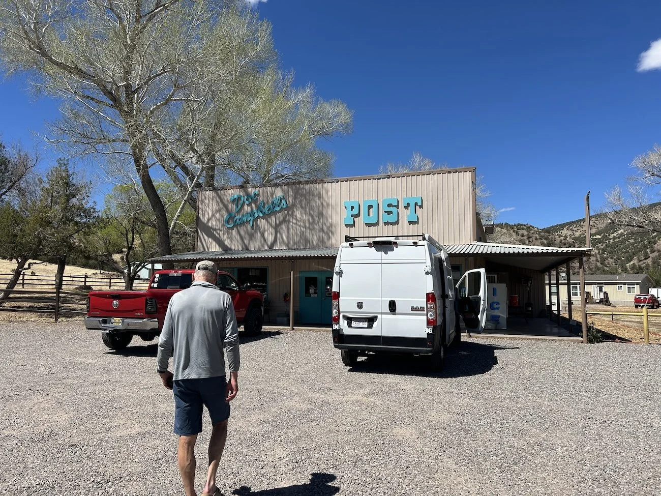
Tim walking into Doc Campbell’s Post
Day 24: April 16, 2025 // 23.25mi, 2,789ft+
The morning was lovely, leisurely and citrus. Tim, Sarah and I hiked to Lightfeather Hotsprings—an undeveloped, trailside spring—while eating oranges and talking about long trails. The springs themselves were the perfect temperature and a much needed “bath” in my case.
Before we went our separate ways, we spied an American Redstart in a scraggly tree near the springs. Its orange patches beneath black wings stood out against the dry color palette of the canyon. It was a first for me—I think that is called a Lifer in the birding world—and it seemed to herald good tidings.
Tim and Sarah at Lightfeather Hotsprings; the tadpoles here were the size of golf balls!
Goodbyes are hard and this one was no different. Even though I knew I’d be back to Crested Butte in fewer than 20 days, it still felt like an awfully long time to walk across the desert carrying so much uncertainty.
I waved to them as I struck out boldly in the direction of nowhere, the vague, roundabout direction of home, and dared myself to keep walking.
Saying goodbye to Tim and Sarah before striking out again towards ABQ
The morning wore on and the day grew warm. I forded the East Fork Gila River barefoot and relished in the feeling of the tiny pebbles rolling against the soles of my feet and squeezing up between my tired toes. Beyond the East Fork, I joined Diamond Creek and navigated its tamarisk lined shores; more often I walked in the creek, as the travel was notably easier.
Up ahead I deviated from the GET main route and took the Upper Diamond Trail instead. It was a forgotten route, little used, but said to be better than walking the CDT over Diamond Peak, which had been severely burned and seen little reconstruction. Upper Diamond was said to be beautiful and rugged and relatively unburned, and so maybe a more enjoyable experience overall.
East Fork Gila River
Nerves began to dog me as the sun dropped lower on the horizon. The canyon felt exceptionally dry and close, and none of the water sources mentioned on the chart had water that wouldn’t badly clog my filter. I kept walking. There was a sort of chaotic 4X4 road to follow, which gave me some sense of peace, until it lead straight into a corral next to an oddly haunting round shed.
It was one of the creepiest places I’d ever stumbled upon on a long trail. There were piles of odd junk all around, a defunct cement trough, and the trail appeared to just end here. I felt my neck prickle, but it was getting dark and I needed to find water. I decided it was worth exploring this place and, if I could find water, maybe even camp here.
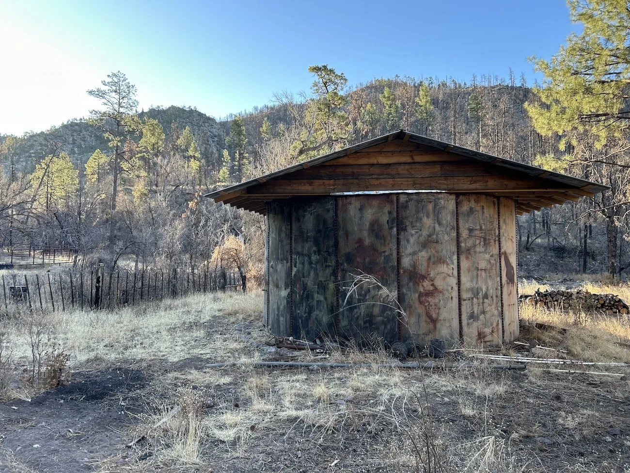
The strange round shed along Upper Diamond Creek
Upper Diamond Creek was still dry at this point, even though reports had previously stated it would’ve started flowing above ground by now in most years. I dropped my pack near a spigot with a blue handle and gave it a tug. I heard the glug of air get pulled down into it but no water came out. I put the handle back down and marched up a dirt hill to a large black tank I’d noticed on my way in. I inspected it for a nozzle or a spout and didn’t see one, so I yanked up the handle on a nearby spigot. Nothing came out.
Panic crept up my throat, making it dry and tight. I jogged back down to my pack, I guess I could keep walking and hope Diamond Creek surfaced soon? I gave the spigot I’d initially tried another hopeless tug and sure enough, a spurt of water came out. I grabbed my filter and caught the remainder of the stream before it petered out. And so it went, running up the hill to let air into the upper spigot, then running back down the hill to fill my bottles one liter at a time.
The wind changed that night and my campsite began smelling of skunk—that, coupled with the realization that day after tomorrow I’d have to do a 30 mile water carry made me lose my mind a bit. I found myself messaging Logan on the InReach in a total panic, asking if his parents were still in the area and could they drop water for me somewhere or, even better, could they just pick me up?
Logan’s response: “Is this an actual emergency or do you think you can handle this?”
He knows me well.
Day 25: April 17, 2025 // 23.80mi, 4,393ft+
Canyon walls along Upper Diamond Creek
I awoke to soft golden light and the funk of skunk. No part of me wanted to play the crazy faucet game, but I also wasn’t sure how reliable the water sources would be today, so I tanked up with 4L.
I hiked in the bush and on a faint deer trail when I could hold onto it. The walking wasn’t particularly strenuous, nor was the route-finding. After 10.5 miles I saw the shine of water through the charred trunks of ponderosa and I felt my shoulders relax. I was carrying so much water already, but seeing that the creek did in fact exist above ground was massively reassuring.
I dropped my pack next to the burbling stream and sank down beside it, head in hands I massaged my forehead. Tonight I would camp near Iron Spring, the last water source before the 30mile dry stretch.
Above ground water in Upper Diamond Creek
Thick brush and water along Upper Diamond Creek
Going forward the deer trail became less easy to find and follow and I found my steps greatly slowed by deep pockets of ash and dense thorns.
I was staring at my feet when out of my peripheral I noticed a black shadow moving up ahead. It was large, whatever it was. I squinted into the sun pouring through the trees—a bear! A very healthy looking black bear stood on its hind legs, facing me, scratching its back against a tree trunk. I took a quick video before alerting the bear to my presence.
“Hey bear!” I called.
He or she dropped down onto all fours and took off up the hill to my right, pausing once to see if I was in pursuit.
Moments like these remind me why I am out here, why it is all worth it.
The climb out of the canyon was steep and eroded. When I made it to the top I stopped at yet another creek and decided to make a lunch of bean and rice burritos.
When I finally joined the CDT up on the divide, on the crest of the Black Range, I was shocked by the wind. It barreled into me and howled through the trees, whipping them into a frenzy. I heard a loud crack, and watched in horror as a dust devil ripped around a dead looking ponderosa, wrenched its roots from the soil and slammed it down into the dirt. Worry gripped me as I walked quickly past the devastation.
Charred Ponderosa along Upper Diamond Creek
By the time I made it to Iron Spring, a bathtub catchment about 1/3 mile off of the CDT, my skin was scoured by wind and my mouth was full of grit and ash. I watched as the towering trees all around me swayed precariously in the wind and wondered if this was a good spot to camp; I had made sure I was far enough away from the spring that I didn’t prevent wildlife from drinking, and it was less windy down here, if only marginally so.
I was too tired to contemplate moving my tent and so this became home for the night.
Day 26: April 18, 2025 // 27.78mi, 4,488ft+
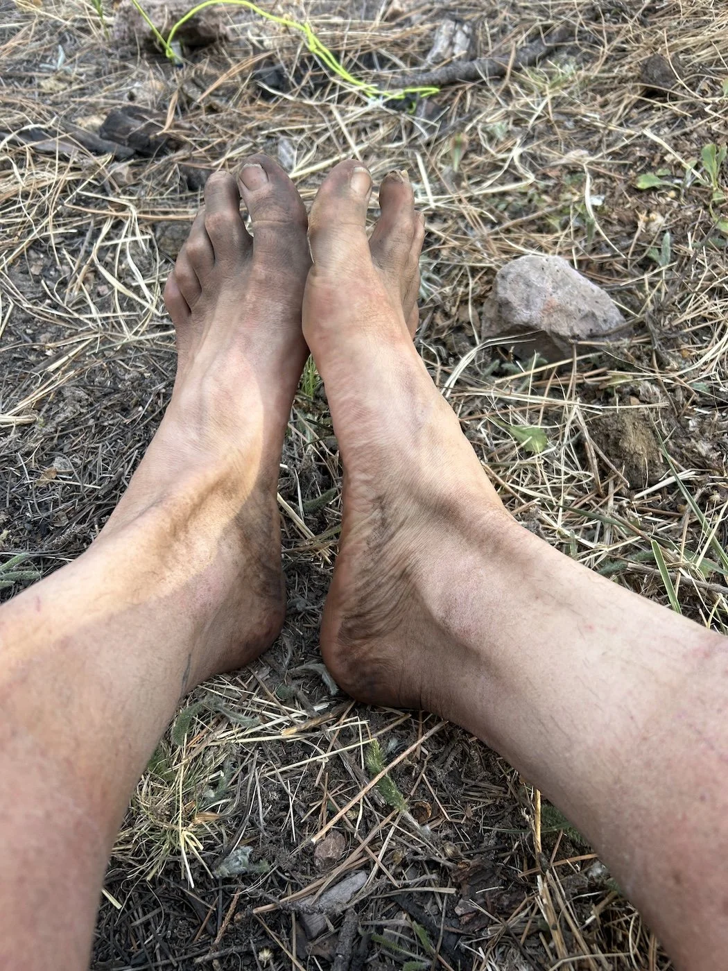
Sooty feet on the CDT
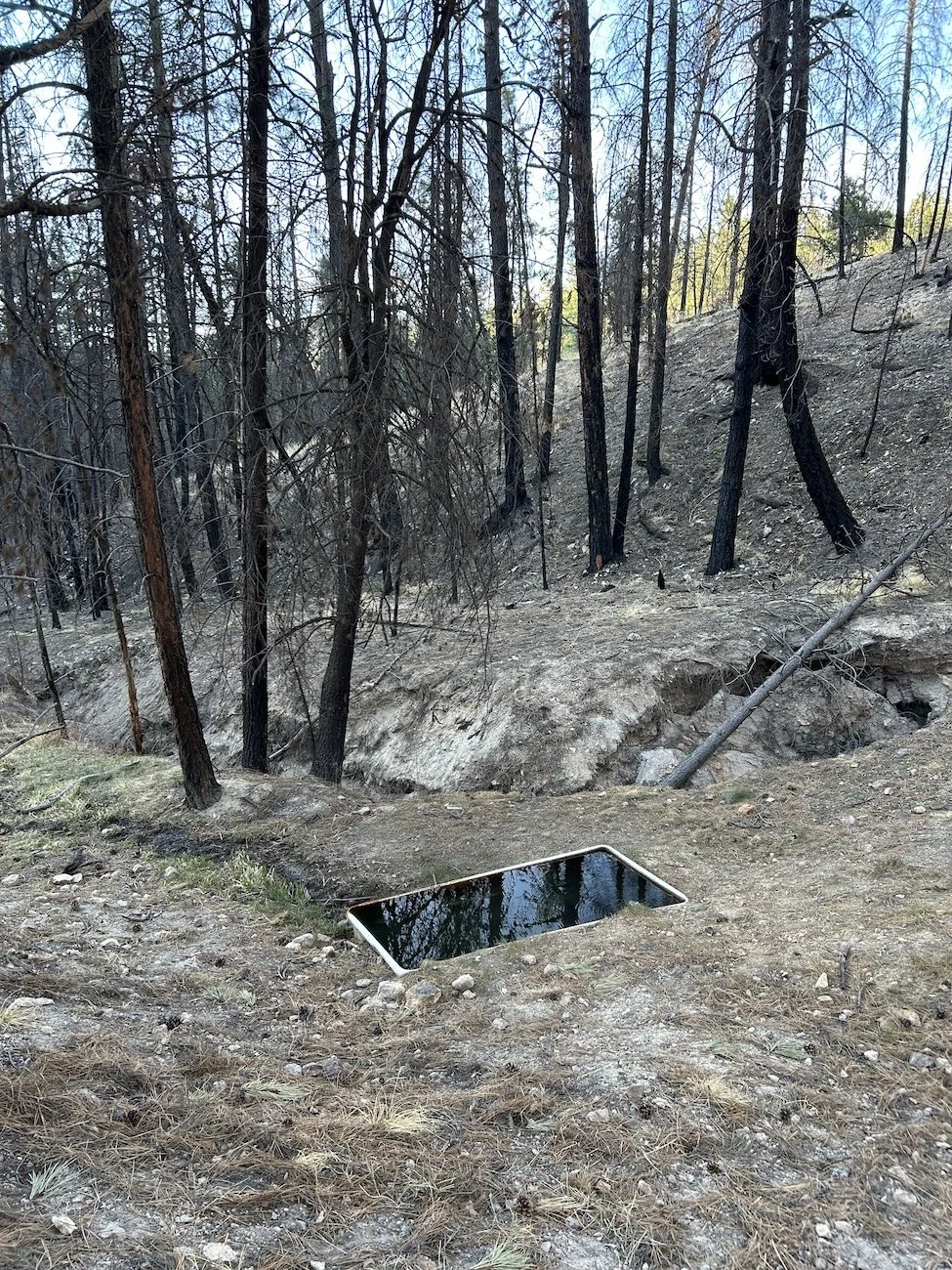
Iron Spring
The wind did not relent. All day I walked on the Continental Divide through the howling gale, fearing a tree would come down on top of me. Anytime I managed to find a sheltered spot—which was virtually impossible—my ears rang in the momentary quiet. I walked with dogged determination all day, the fear I would run out of water chasing me down the trail.
I did not see a single other person, nor had I since I left Gila two days prior. I had hoped I would run into some CDTers up here, given that this is the official route, but after consulting my guidebook, it seems the vast majority of them do not traverse the Black Range, instead they head to Pie Town.
Ponderosa blown over from the wind
I was carrying 11lb of water at the start of the day, an excess of what I needed, but I couldn’t help worry that I might get injured or waylaid or not make it to the cattle trough at the other end of this dry stretch for any number of reasons or, worse still, that the cattle trough might be dry when I got there. Ranchers cycle cattle through different areas and they don’t fill troughs that won’t be used.
When I had just four miles left of the CDT, the trail all but vanished. I was left to scrutinize the trunks of ponderosa for carved “i” blazes to guide me—a hard thing to do when you are also busy looking at your feet and trying not step on a cactus. Beyond the CDT I followed an old barbed wire fence up and over a rollercoaster of hills to Wahoo Saddle, then I began to descend.
Exhaustion weighed on my already sore shoulders. By the time I made it out of the Black Range and down to the lower (but still quite high and exposed desert) I was eager to find the cattle trough and choose a spot to camp.
There were loads of private property signs and unexpected fence lines to avoid as I entered a particularly dense and stunted juniper grove. I tried to stay positive, but the voice in my head made me fearful that the cattle trough would be inaccessible when I got to it. I did not want to trespass today.
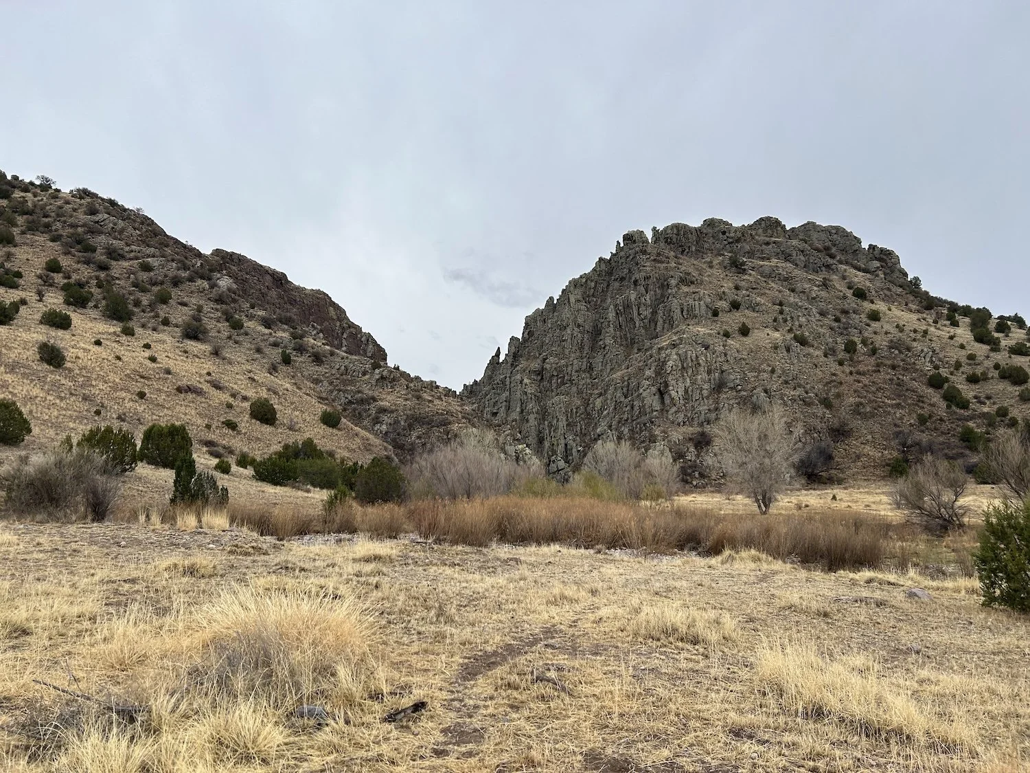
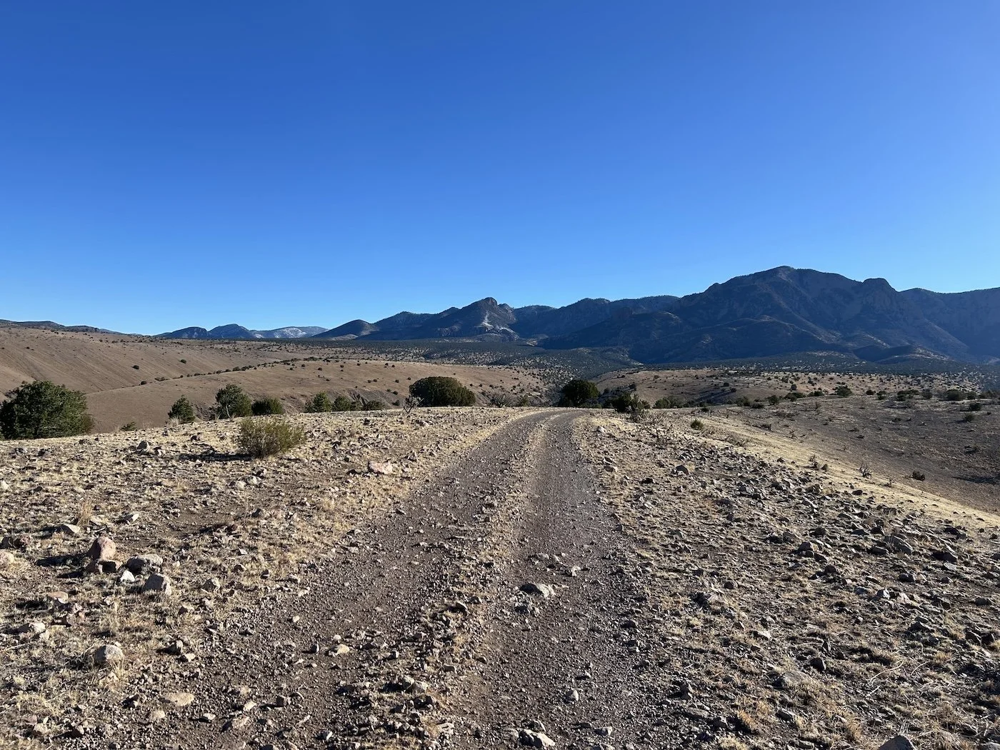
An expansive mesa at the feet of the Black Range
I crested a rise and saw at a great distance, a truly giant tire on the horizon. My pace quickened.
There was no fence encircling the trough and, when I peeked over its lip, there was relatively clear water inside. Relief washed through me. I dropped my pack and huddled in the lee of the wall of rubber to hide from the wind, which blew just as fiercely down here as it had up on the Divide. I took several moments to collect myself before collecting water. I hadn’t realized just how tense I’d been all day, worrying about this trough, until I no longer had to be.
After collecting water, I hiked another quarter mile to a wash and pitched my tent in its sandy bottom as storm clouds gathered overhead. The air grew cold and I wondered if it might snow, instead of rain.
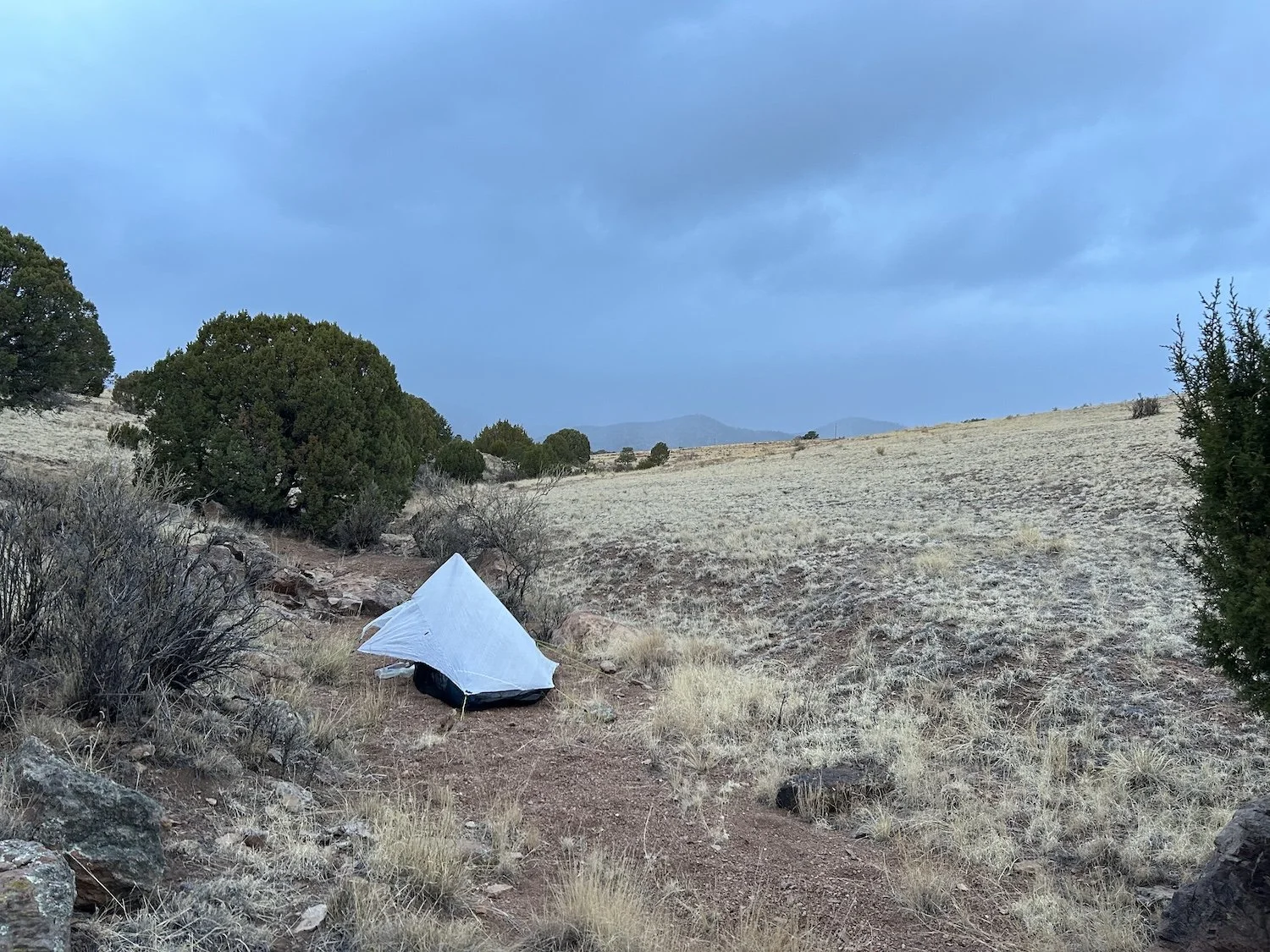
My hobbit-sized hovel with an impending storm in the background
Day 27: April 19, 2025 // 25.22mi, 3,504ft+
When I begin to struggle, I remind myself: people do this, other people have hiked this trail—they must all be insane, but then, so must I.
I woke up to graupel pelting my tent. Tiny fists of ice bounced off the white canopy and landed on the rust colored sand of the wash. I rubbed a hand over my face and clambered out of my tent to pee. The sky was black as I’d ever seen it, bruised to breaking.
Rather than having the slow morning I’d planned, a bit of rest from the long push the day before, I began packing up with an air of hysteria. By the time I broke camp, it was snowing.
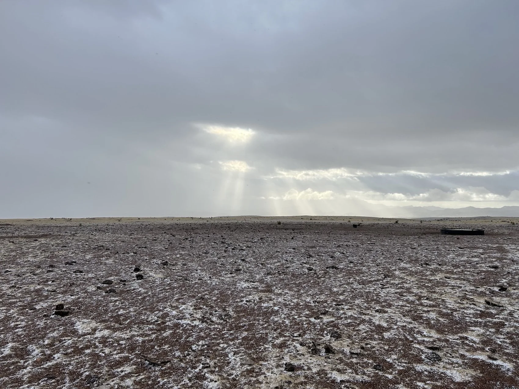
Snow on the mesa
The route was easy enough to follow despite the heavy flakes; I walked on a series of primitive roads that quickly turned to clay beneath my feet. I was grateful for the lack of thunder, given how completely exposed the mesa was. Just as the wind picked up, I found a corral with a lone juniper tree at its edge under which I could shelter.
I forced myself to sit in the dirt, no matter how damp and uncomfortable I felt, and peel off my sopping wool gloves to make a Nutella tortilla. If conditions persisted, I would need to make the most of any break I took because there wouldn’t be much opportunity for stopping.
I’d already climbed over and under more barbed wire fences than I could count that day, and my already ruined FrogTogs were clinging to my legs in shreds, doing little in the way of keeping me dry or warm.
The second snow storm of my trip, and still not a drop of rain
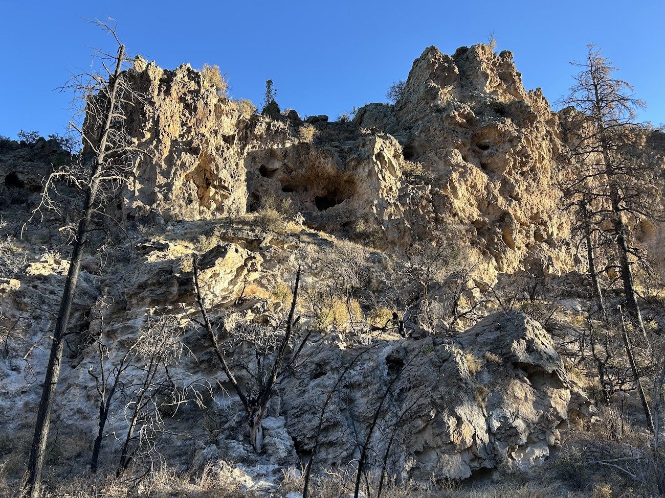
My next objective was to reach the mouth of Monticello Box, a canyon whose interior was not open to the public, one that I would need to circumvent through a series of convoluted cross-country maneuvers, but I was excited to peer into the canyon at least.
As I approached I was confronted with myriad “no trespassing”, “under surveillance”, “steep fines and penalties” signage, but kept walking. I knew the private property boundary didn’t start until the mouth of the canyon. I slopped through bogs and mushy grass, wading in the creek at times. I was cold and moved quickly to generate what heat I could.
The approach to Monticello Box
A thundering reverberated through the wet earth and I looked up; a herd of elk pounded across the marshy flats a hundred feet or more away. I stopped, in water up to my shins, and watched them go. I finished the walk to the twin monoliths of polished mauve stone that marked the opening of Monticello Box and paused at the fence to appreciate the narrow corridor. I wanted desperately to walk its length directly into the town of Monticello, especially considering the way I would take around would be many miles longer and with much less water.
The mouth of Monticello Box
With a look of longing, I turned my back on the canyon and went the long way around. I knew there was a warm springs not far from here along spring canyon; I marched against the rushing water until I felt brutal cold transition to something warmer. In a small grotto were two shallow, steaming pools, barely deep enough to cover a supine body. Despite the cold air and misty conditions, I stripped down to nothing and lowered myself into the deeper of the two pools.
The water was warm enough to sooth my tired muscles and allow me a chance to bathe off the worst of the salt and dirt from my skin, but not hot enough to hold me captive for an entire day. I closed my eyes and committed the warmth to memory before rising and dressing.
My day of walking had barely begun.
Spring Canyon
Beyond Spring Canyon the guidebook warned the way would be “exceedingly rough going” and to absolutely use a gps and check it often. I thought I was mentally prepared, but alas, I was not. As there was no 4X4 road going the way I was going, my route involved a lot of steep careening, up and down, in and out of arroyos on rocky, prickly pear studded terrain.
At one point, descending a particularly nebulous ridge, I looked across the way and saw the wall of a mesa rising near vertically out of a deep canyon. “That can’t be where I am going, I reassured myself. But when I reached the bottom of the wash, sure enough, back up was exactly where I was going. I might have shed a tear or two.
Storm clouds dogged me all day, converging over me from every direction. Vicious winds pelted me and snow fell sporadically, adding a frantic energy to the day. I cried in earnest several times, feeling so painfully alone and exposed. I tripped several times, once very badly, banging up my knees on rocks, getting cholla barbs imbedded in my ankle, and bruising my left palm and wrist so severely that the whole area swelled purple and black.
Nebulous arroyos and endless mesas
When I finally reached San Mateo Canyon I hunted about for a semi sheltered place to pitch my tent. The sun had deigned to return but the wind was no less viscous, throwing sand and dust into my mouth and eyes. I borrowed time at the local cattle trough, taking a moment to find its tank a short way uphill, which was leaking clean, fresh water; I filled up there.
As I lay in my tent that night, feeling like I’d survived something, I realized for all the struggle and tears, bruises and pain, I was still grateful to be out here. The wind exhausted me, and I fell asleep quickly to the distant sounds of sand flying and cows ruminating.
Day 28: April 20, 2025 // 17.84mi, 1,900ft+
The walk into Monticello, NM
“I am so abhorrent of the fact that I am here, in this situation that seems so desolate, so lonely, so comically wrong. My skin threatens to peel away from bone and lay me bare in utter rawness; I wish I was anywhere but here in this exposed straight of dust and sand and wind. But I see a patch of verdant green and think, maybe that is where I am headed. And I talk out loud to myself, calming words, because I’ve been alone for 5 days with no one to talk to. And many miles later I emerge from a world of cracked earth and brittle tumbleweeds, onto a street lined with green things which smell sweet and earthy and damp and full of spice. At first, bird song tinkles like mist, and then it explodes like fat raindrops on pavement and I know, something good is coming. All will be well. I meet two people, standing outside a gated yard, dipping their noses to tall, purple flowers. “Did you walk here?” They ask as the gate swings open. A woman with a kind face stands inside the sun-scoured, turquoise doorway and greets the two people as friends, then she looks at me.
“Oh! Do you need a place to stay?”
And I realize behind all the gates and doors of the world there is a universe of wonder and magic and warm food and all it takes to banish the terror—to pull the skin back down over bone—is an open gate, and meeting the person behind it” —journal entry
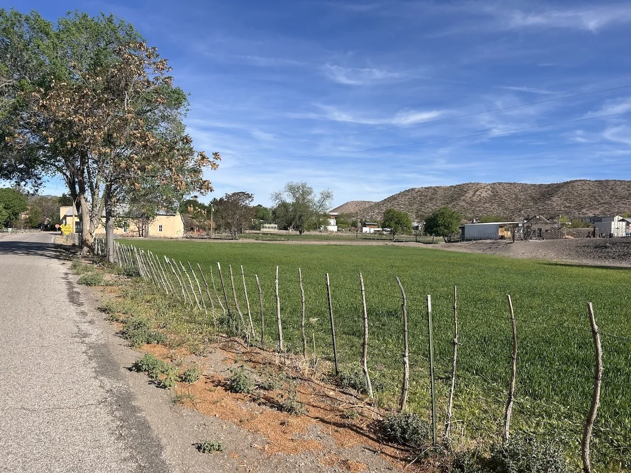
Monticello, NM
I was at my wits end walking into Monticello. The town was 15 miles off route down a little used forest service road; there was no hope of a hitch. I walked for nearly 5 hours and worried the whole time about whether or not I would be able to find water there, whether or not I would be able to charge my phone or my InReach, whether or not the post office with the most limited hours in the world would even be open. Monticello is a small community; I knew it did not have a gas station or general store or any amenities beyond the post office. And to make matters feel more dire, a long stretch of mountain wilderness lay waiting for me beyond this point.
The aforementioned journal entry articulates the negativity and fear I felt in contrast with the magic of being taken in off the street in a matter of seconds by Lauren. Lauren’s home was full of warmth and creativity and love. She was caring for her aging father who I was lucky enough to share a really nice conversation with, and she was hosting Carlis Chee, a soulful and brilliant painter from the Navajo Nation. I was invited to share Easter dinner with them and help in preparations; one of Lauren’s neighbors joined as well and all of us spent hours talking about life and birds and the state of the world. It was what I needed, but I couldn’t have planned it. I think the hardest part about doing something as big and lonely as the Grand Enchantment Trail, is that I never knew when or if I’d see people, but time and time again I was blown away by the generosity bestowed upon me through chance encounters.
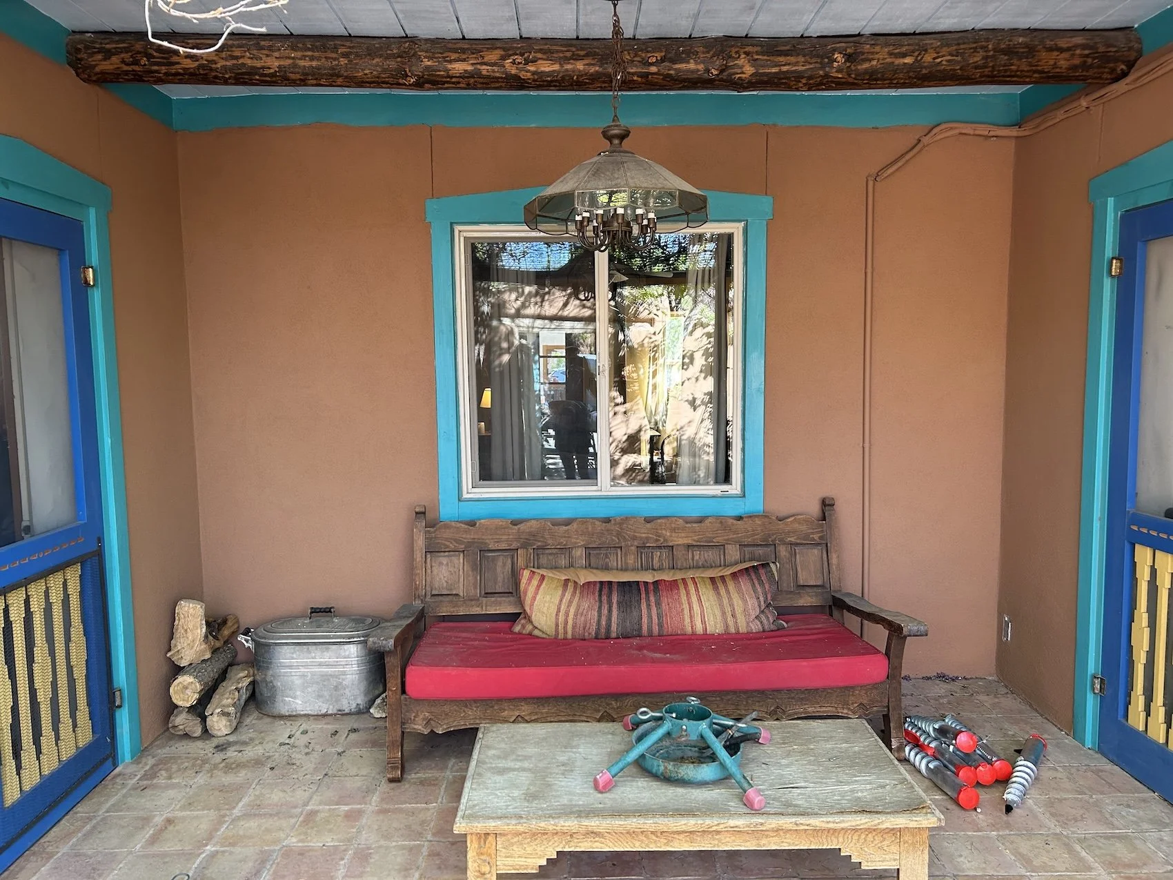
Lauren’s house in Monticello
“I hope I come home stronger, not tougher, with a greater capacity for tolerance and understanding; I hope I am capable of loving even when I am angry and suffering” —journal entry