The Grand Enchantment Trail: San Pedro River to Safford, AZ
Aravaipa Canyon Wilderness
“The world’s otherness is an antidote to confusion, that standing within this otherness—the beauty and mystery of the world, out in the fields or deep inside books—can re-dignify the worst-stung heart” —Mary Oliver, Staying Alive, Upstream p. 14-15
Day 8: March 31st, 2025 // 21.08mi, 2,448ft+
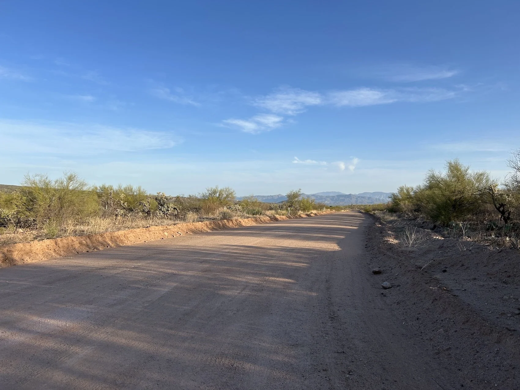
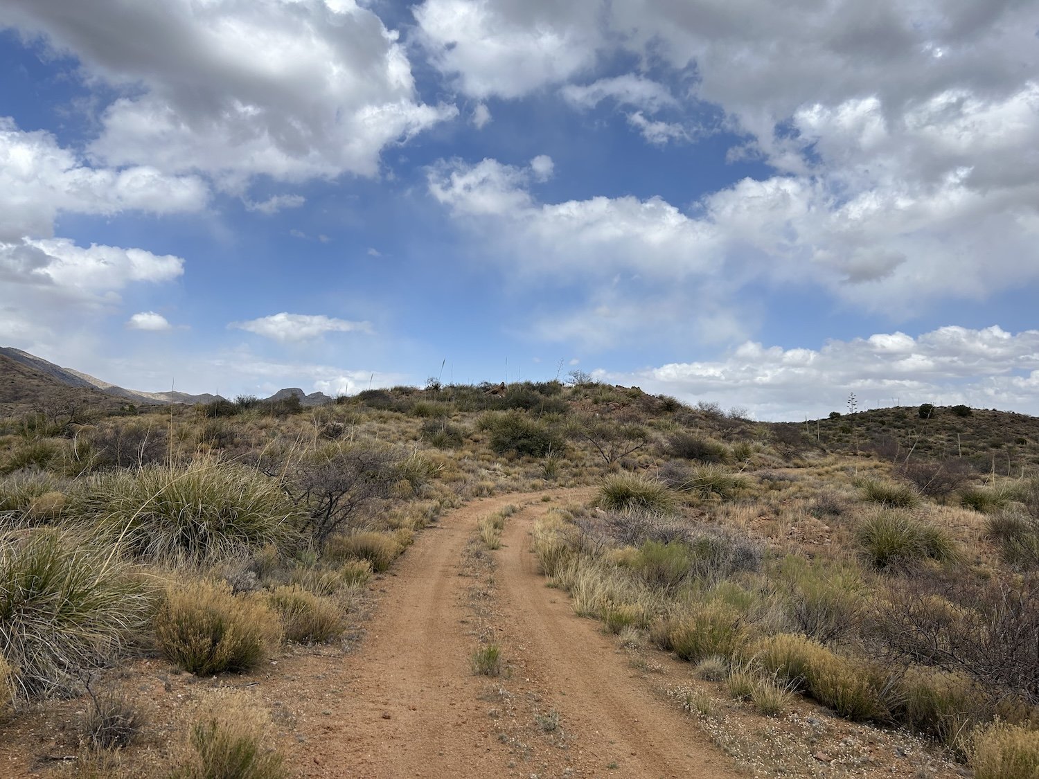
South Pz Ranch Road
I woke up while the black and red ants still slept. The sun crept up in the sky and reminded me I was wasting the coolest hours of the day.
Last night I started my period and felt so full of uncertainty I was sure I’d cry; instead, I had dutifully performed my camp-chores, made cheese grits, and then slept.
After packing up, I hunted about for the pack trail that would take me to a dirt road and deliver me from “ant central” to Central Arizona College where I could get water and maybe even use a bathroom.
The pack trail was intermittent and unreliable, but once I hit the dirt road the miles came easer and soon I was standing inside a bathroom, flushing a toilet and pulling a couple of free tampons out of a dispenser. I gathered a liter of water to compliment the one I already had and then was on my way.
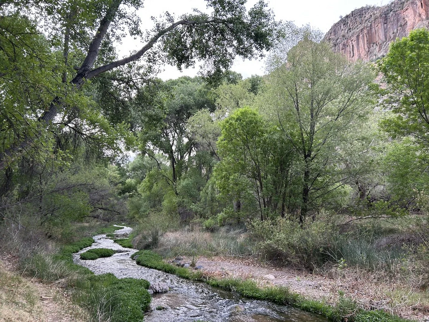
View of green cottonwood trees growing near possible Carrico Spring
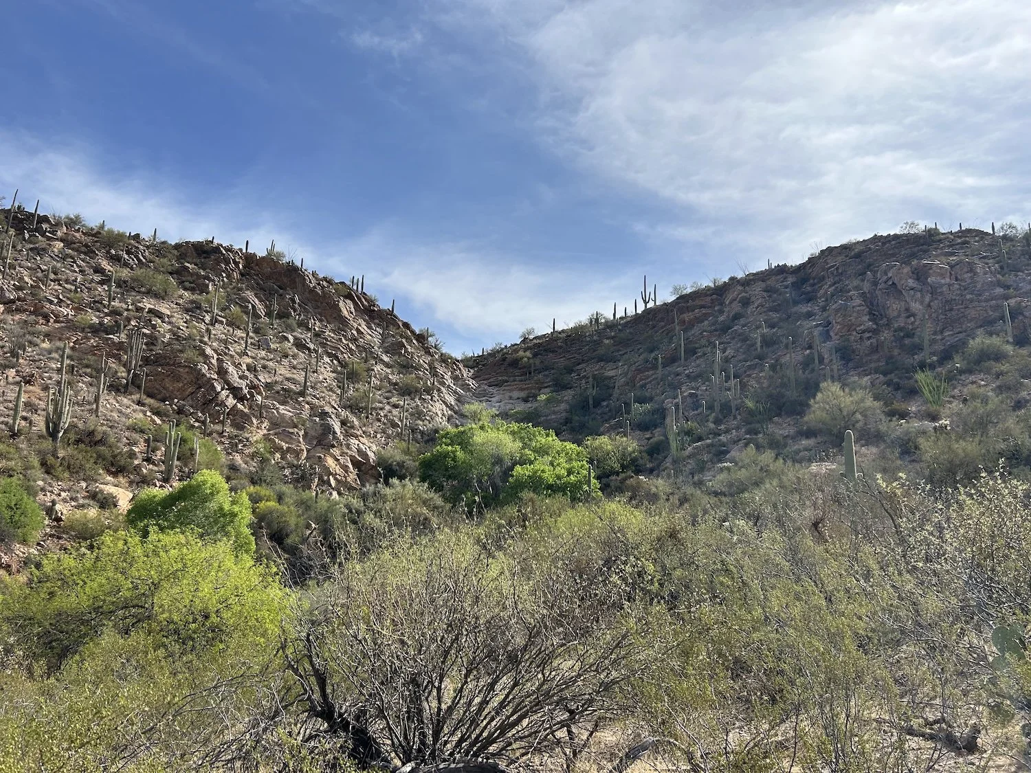
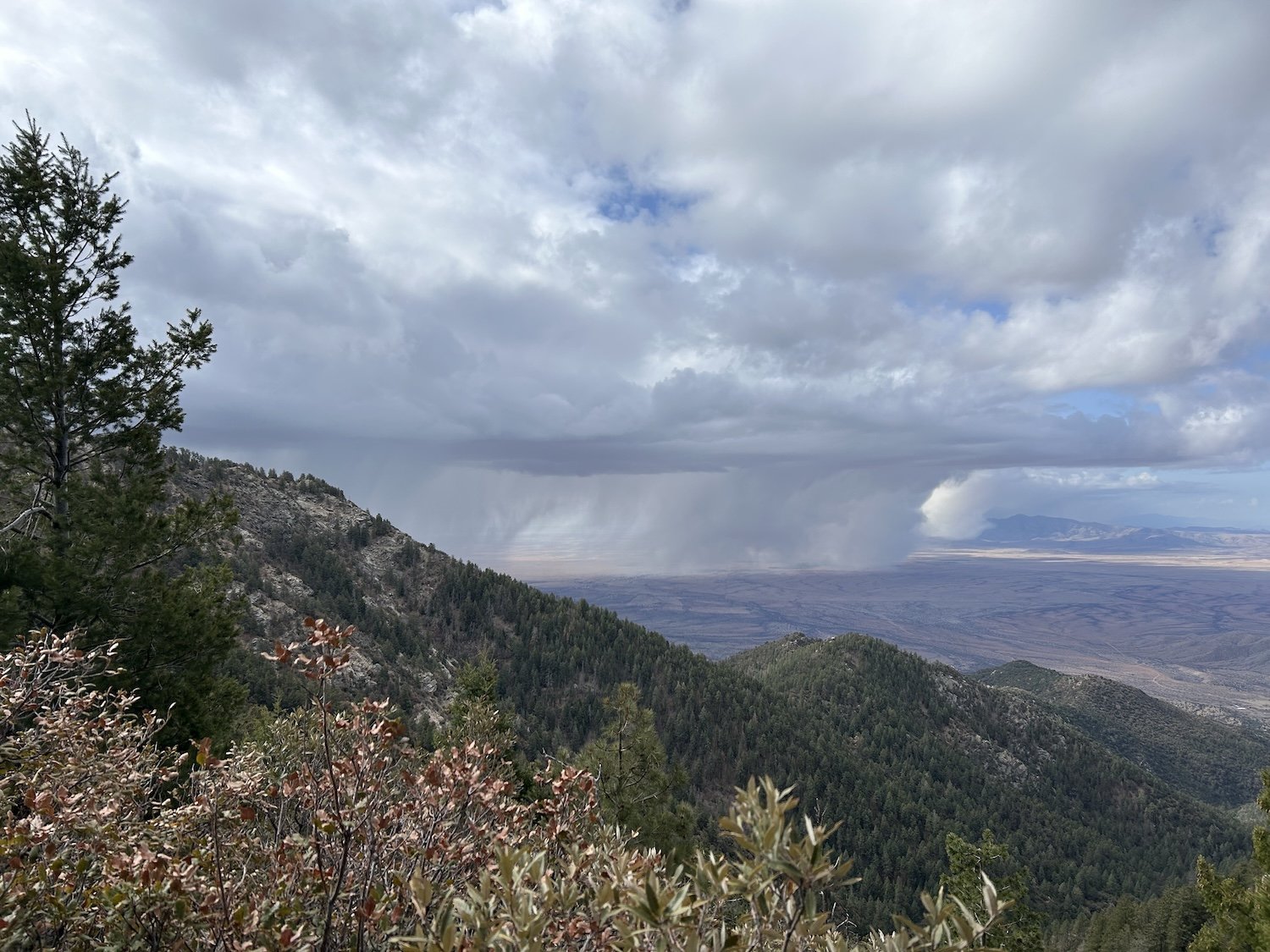
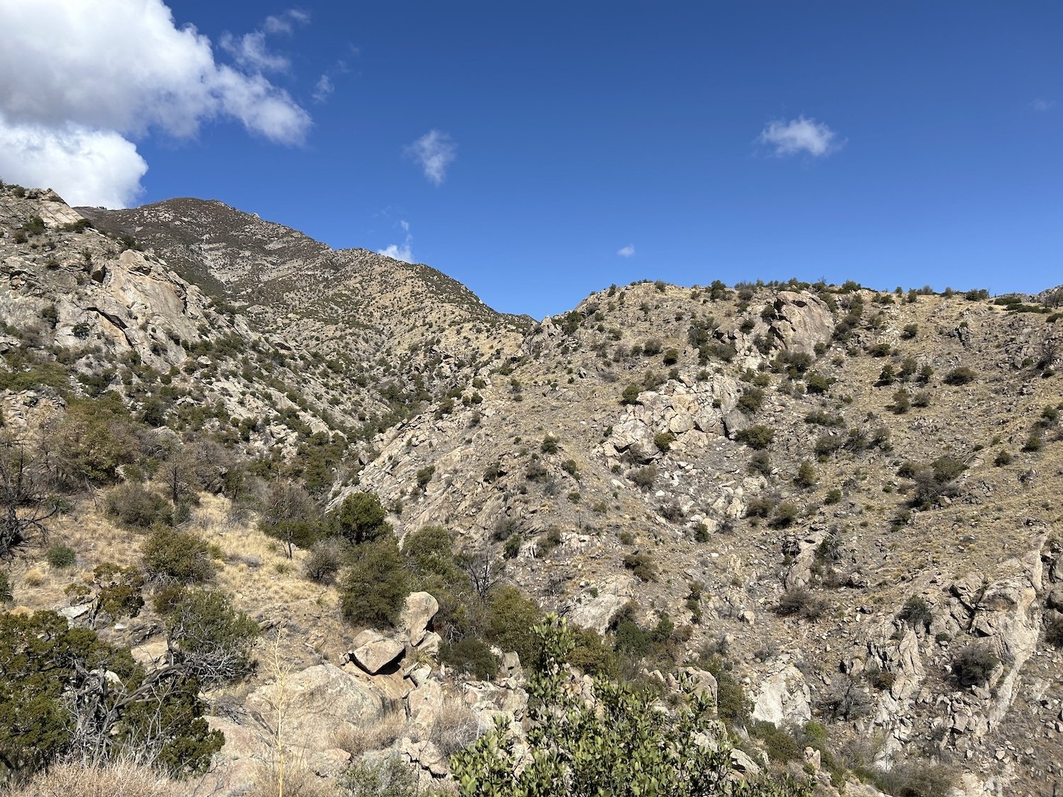
The goal of the day was to reach Aravaipa Canyon, and the GET took the most direct route it could to get me there. At first, the 4X4 road I walked was wonderful and quick and the day was not yet hot so I raced up and down it, until, as Brett Tucker narrates, “you get dropped into a very rugged wash”. This will be my first real experience in one of Tucker’s very rugged washes, and I’ll admit, it was worse than expected.
Imagine yourself in a narrow, craggy, steep sided canyon, full of thorn bushes and sharp rocks; the sun blares overhead and the air seems to crackle and sing with heat—this a very rugged wash. A helicopter would be hard-pressed to find you if you collapsed here due to the close, tangled nature of the vegetation.
I felt as though I’d stepped off the map of known places and I tried not to burst into tears. I was relieved when I found the over-grown two-track “road” that lead out of the wash and ran parallel to it; it wasn’t easy going by any means, but it was something I could follow.
Eventually, after much careening up and down, I topped out on a ridge and shucked my heavy pack. I dropped down next to it in the gravel and sand and took in big gulps of air and then similarly huge gulps of water. The dry air seemed to leech every ounce of moisture from me as quickly as I took it in. I closed my eyes and considered my racing heart. I felt the most alone I’d ever felt but I was starting to wonder if that wasn’t such a bad thing. It was a new feeling, but it wasn’t inherently awful.
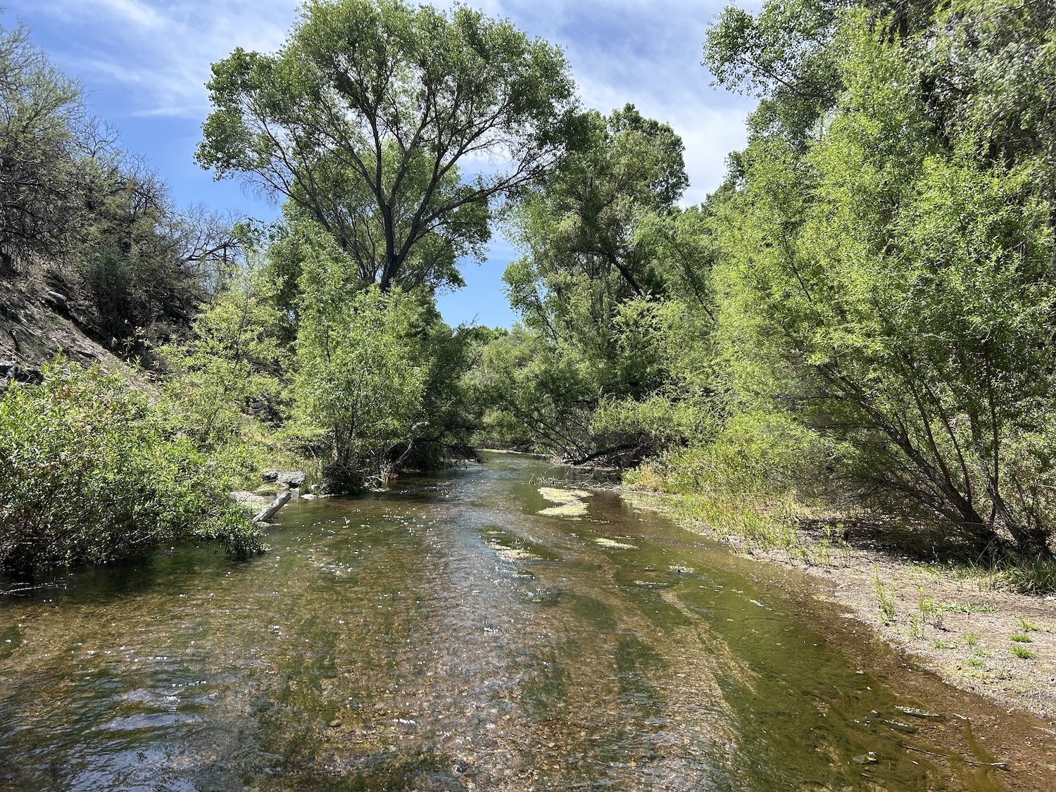
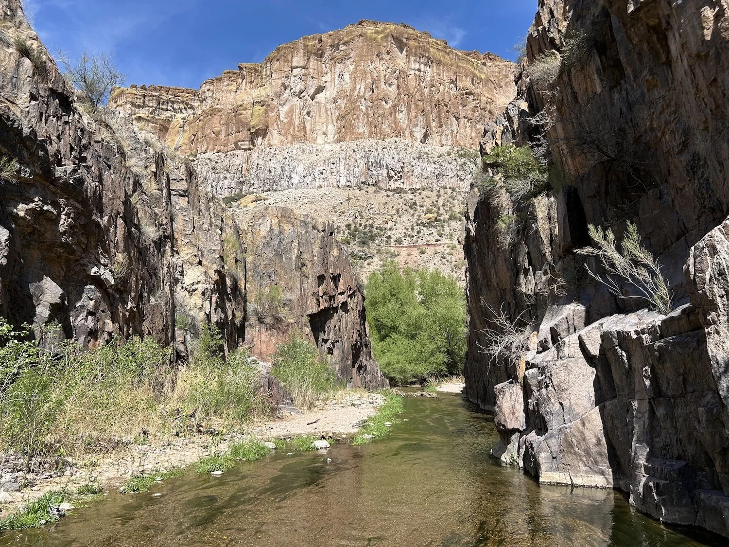
Blissfully cool waters of Aravaipa Creek in the protected wilderness area; a true oasis
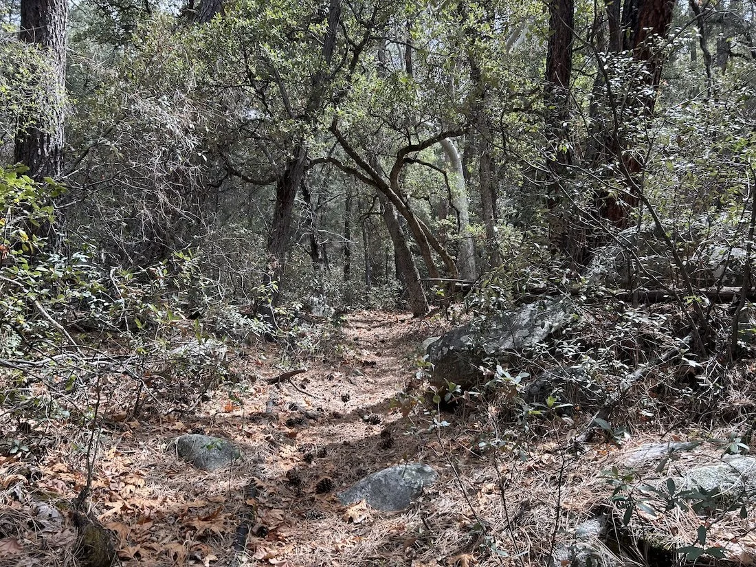
From the ridge I descended on shockingly good single track; I couldn’t imagine navigating the steep, thorny terrain without a trail, and this one was nice enough for me to look up every now and then to enjoy the views. The day had grown hot, and I still had a long road walk from the Brandenburg Ranger Station to reach the Aravaipa Wilderness Trailhead.
At the Ranger Station, the faucet was not working. I had about two liters of water and I wasn’t particularly stressed about it, but it was disconcerting nonetheless, since the guidebook marked it as a reliable water source. There was nowhere shady to rest outside the locked station, so I kept hiking down the road.
All along the right side of the road were signs for private property, signs threatening surveillance, signs threatening consequences like jail-time and fines for trespassing, and signs declaring penalties for picnicking of all things; the worst part about the signs was they stood between me and the creek which was desperately close. All I wanted to do was take a break on its bank, in the shade of the cottonwoods, and take my shoes off for a minute.
I kept walking.
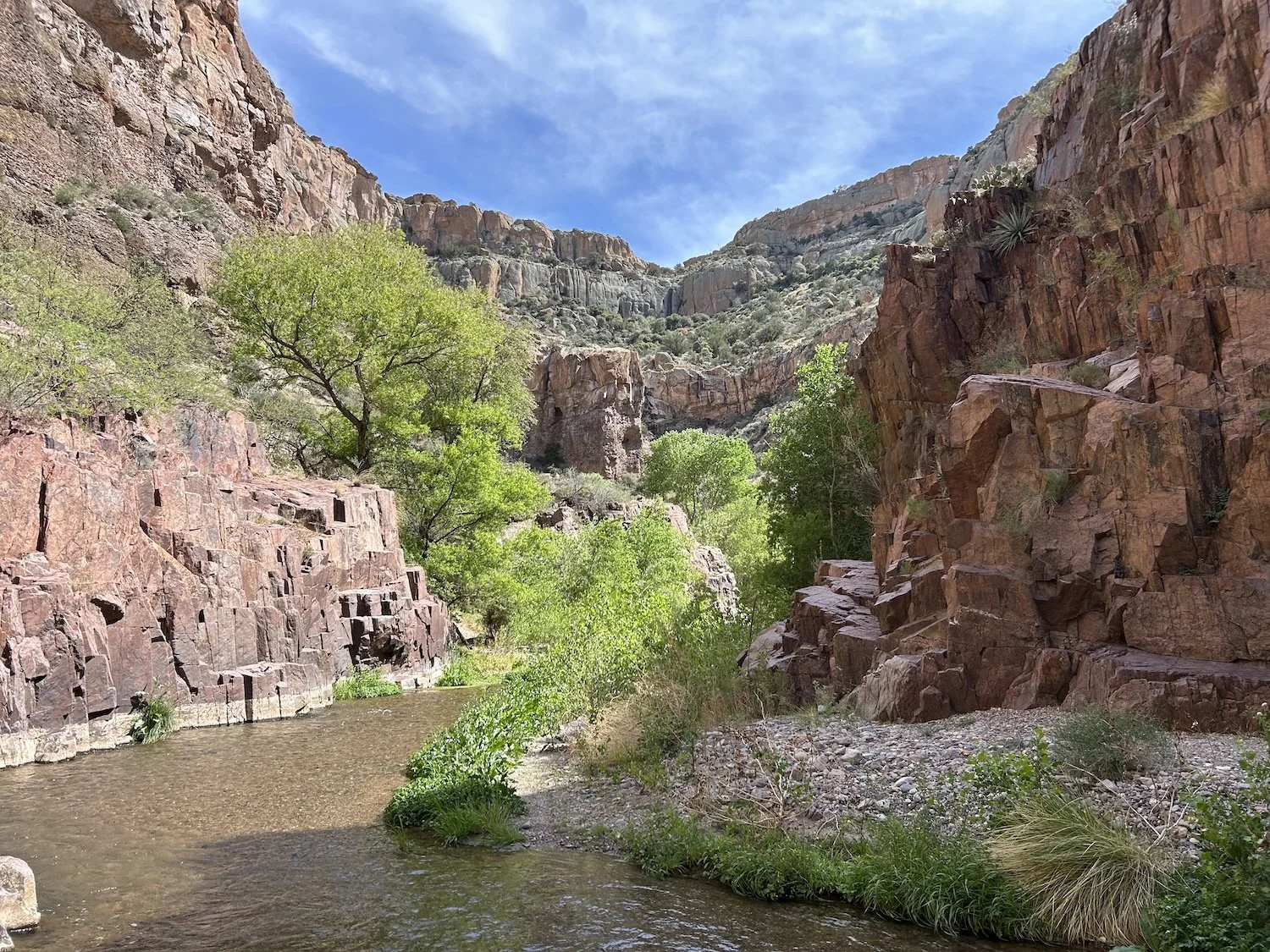
An amphitheater of red rocks and lush foliage along Aravaipa Creek
At the trailhead I took a moment to make a tuna tortilla and throw away my trash in the bins. I sat in the shade of the large signboard afterwards and dug out my paper map set, figuring I’d put my gps away for a while now that the navigation was sure to become easier.
I hiked downhill through open desert until the trees enveloped me at the bank of the creek. The first thing I did was lay down in the water fully clothed. I felt the heat and stress of the day run off of me, carried away by the clear stream.
The trail wound its way lazily from bank to bank. Walking in the cool water was a balm for my hot, sandy feet.
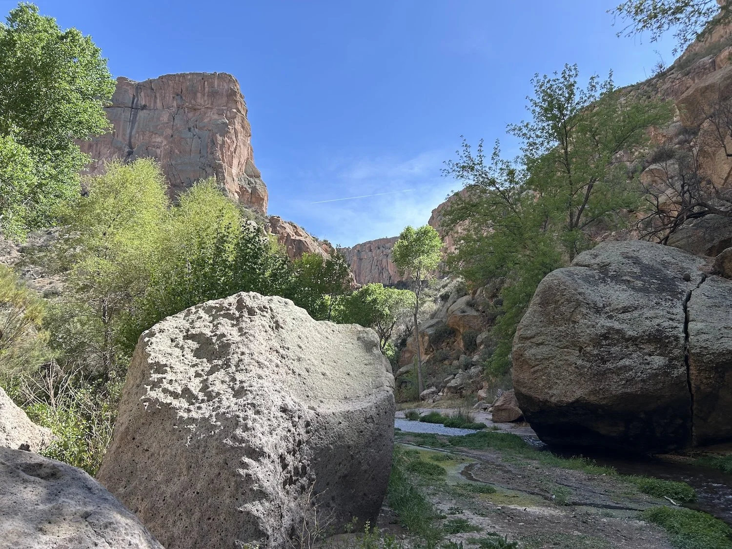
Giant boulders alongside Aravaipa Creek
After a couple of miles of serene walking, I realized how tired I was. I sat down in the grass and then laid my head back onto my pack. I was overwhelmed with emotion. Joy at making it this far, relief that I was next to water, worry over what the coming days would hold, and a deep, aching sorrow. I let myself cry without needing to know why.
That night in camp, lying in my tent before night had fallen, I watched ants crawl in straight lines up and over its peak and down along the guy-lines. My eyelids drooped as the tiny figures quested this way and that, searching for a way in, a tiny morsel, or a deeper understanding of my house as a terrain feature.
Day 9: April 1st, 2025 // 17.94mi, 2,388ft+

Dawn in Aravaipa Canyon
The next morning I continued my hike upstream along the creek. A soft blanket of grey shielded the canyon from the harsh sun of yesterday, and I moved slowly, not wanting my time here to end. I saw more people today and made sure to smile at every one of them. When I finally reached the parking lot, I made the executive decision to hike the Turkey Creek alternate—the more adventurous way to Klondyke, where my resupply box was waiting in a defunct freezer behind the general store.
Nearing the upper reaches of Aravaipa Creek in the Wilderness Area
Along the dirt road out of Aravaipa Canyon, I hiked a short out and back to the Salado Cliff Dwellings, said to be roughly 700yrs old. The structure was impressive and very well preserved. I was disappointed, though, to find some dirty toilet paper up there; of all the places to defecate, this was the most disrespectful.
Beyond the cliff dwellings, I left the road at the site of a large confluence of canyons. At the center of the confluence there was a grassy, tree-filled expanse. My gps struggled to locate me or my directionality, so at first I wandered blindly into the gnarled, black trees, their canopy low enough that I adopted a severe hunch. I was busy staring at Gaia and my spinning arrow, when suddenly, I sensed another presence.
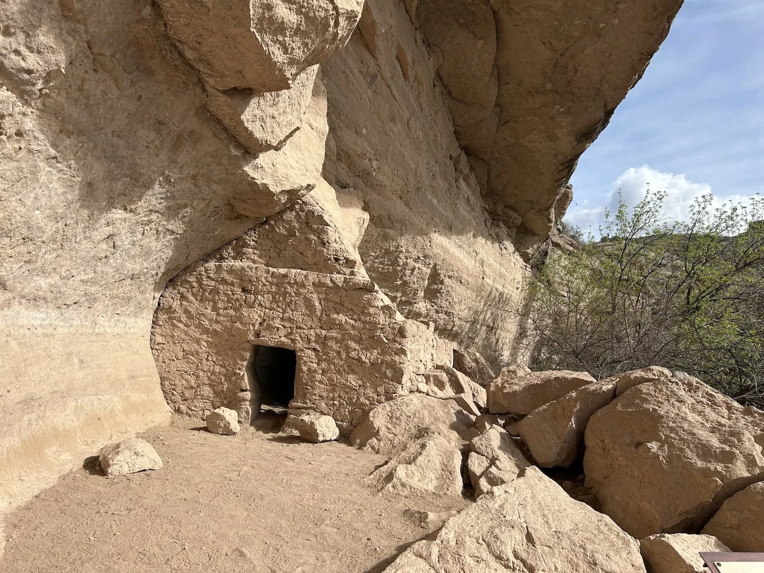
Salado Cliff Dwellings; the structure is said to be 700 years old
I lifted my gaze to a branch not 10ft from my face and saw a pair of bright, round orange eyes with massively dilated pupils glaring at me; above the eyes were two black tufts of feathers. The great horned owl leapt from the branch and flew straight towards me, brushing the air over my right shoulder, and I was struck by the absence of sound. For a moment I wondered if I’d lost my hearing. The owl was gone when I turned around to search for her in the thicket, and shortly after, my gps found me and I found my canyon.
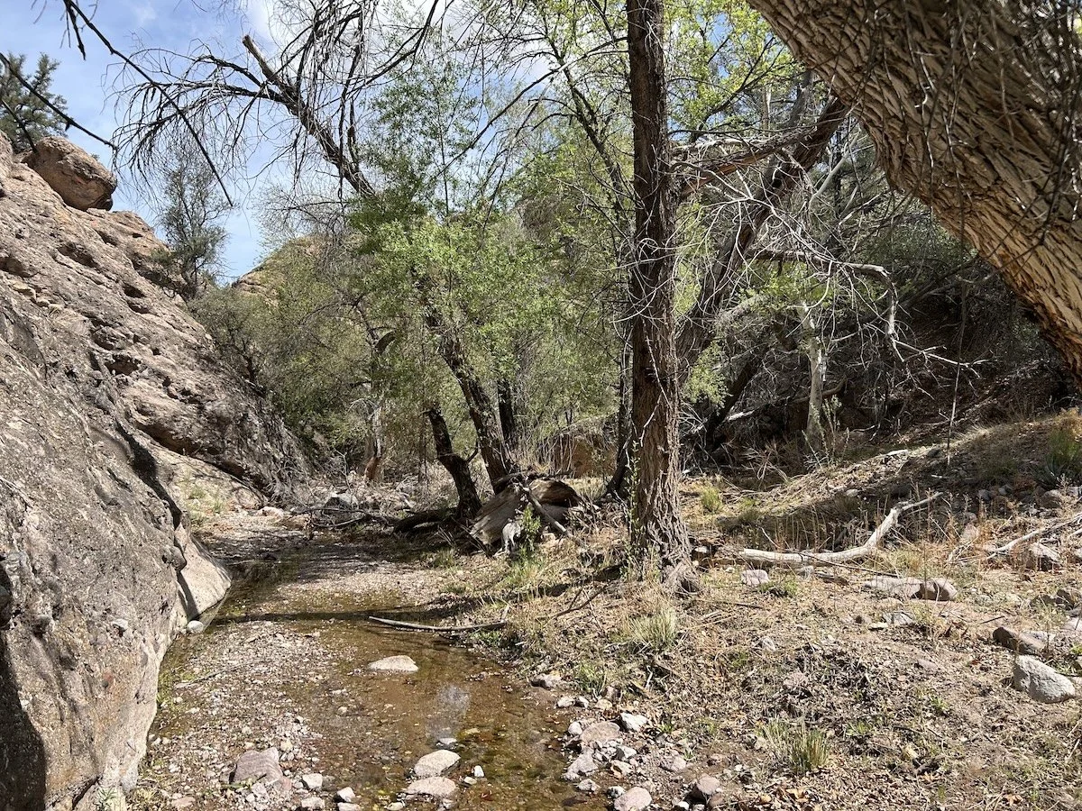
The mouth of Turkey Creek Canyon was overgrown but once I was inside, the walking became easier. There was water in the creek and the way was relatively shaded.
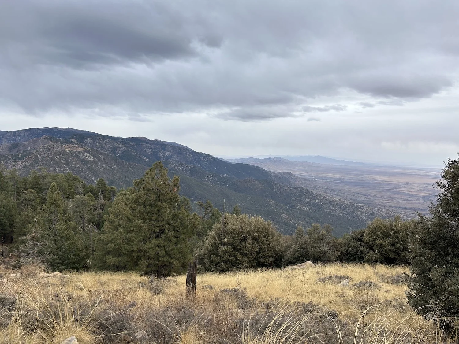
Beyond Turkey Creek, I climbed on 4X4 roads into increasingly dry, desert conditions. When I topped out on a ridge, I saw the Santa Teresas and knew them instantly, as they were the most prominent range in view. I felt suddenly confident; I’d navigated the alternate route which was little traveled and without a trail for much of it. I could handle whatever came next.
Looking back from (roughly) the direction I’d come
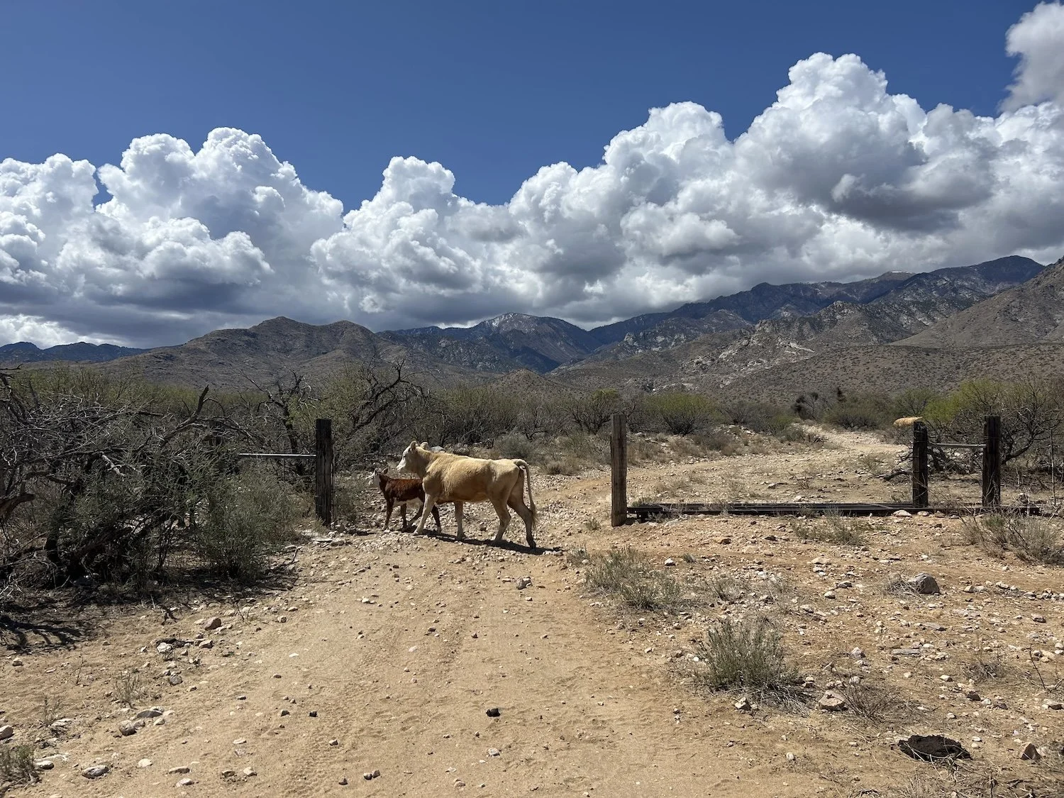
The descent into Klondyke was similarly deserted to the rest of the afternoon. I didn’t see a single person or vehicle on the dirt road. I passed by the campground, which was supposed to have a water spigot according to the guidebook—it did not—and kept hiking into town. I’d have to return in this direction to visit to the dump, as there were no trash cans in town.
Arriving to the closed General Store, I felt yet more alone. There was no one in “town”—no one to ask if I could charge my devices, no one to ask for water. I went around back to locate the defunct freezer where my resupply box was hopefully waiting. It took a minute for me to locate it on the covered back porch next to a range and some other appliances, but I saw my handwriting on the priority box and relief washed over me.
I hung out back with my dwindling liter of water and wondered what to do next. Do my resupply and hike on to Reef Tank? My next water source? Without charging my phone or Garmin this felt risky. The Santa Teresas would be largely off trail or on very poor trail and incredibly remote. But staying here overnight without charging anything felt like a big waste of time and I wasn’t sure where to find water.
A truck pulled up behind the store and I stood. The driver rolled down his window and I approached.
“I’m sorry to bother you,” I said. “I’m wondering if you know where I can fill up a few water bottles and maybe charge my phone?”
“Oh,” He said. “Are you hiking?”
“I am. I just came from Aravaipa Canyon.”
“Shew, that’s a ways to walk.” He gestured across his passenger seat to the campground. “There is a spigot out there and some outlets behind that locked building over there.” He gestured out his back window.
When he left I set about filling bottles and plugging in devices. I felt suspect, doing all of this without permission of the owners. The man in the truck had pulled up to use the wifi at the store, only. I was organizing my pack when a woman pulled up, probably to do the same.
“Are you okay?” She asked out her window.
“I am,” I said. “Do you know if the store owners are around? I was hoping to camp somewhere in their campground.”
“I’ll call Beth.”
After a few moments she hung up. “They aren’t coming down, and you can’t stay in the lodge but you’re welcome to sleep on the back porch here.”
I nodded my thanks and she rolled up her window.
Gratitude flooded my system; I was lucky to have encountered these people. I’m not sure what I would have done without their help. Not to mention Beth and Dave, the shop owners, were so kind to let me sleep here without meeting me.
As I lay down that night, sheltered on the porch from a ferocious wind and dust storm, I still felt alone, but a little happier about it.
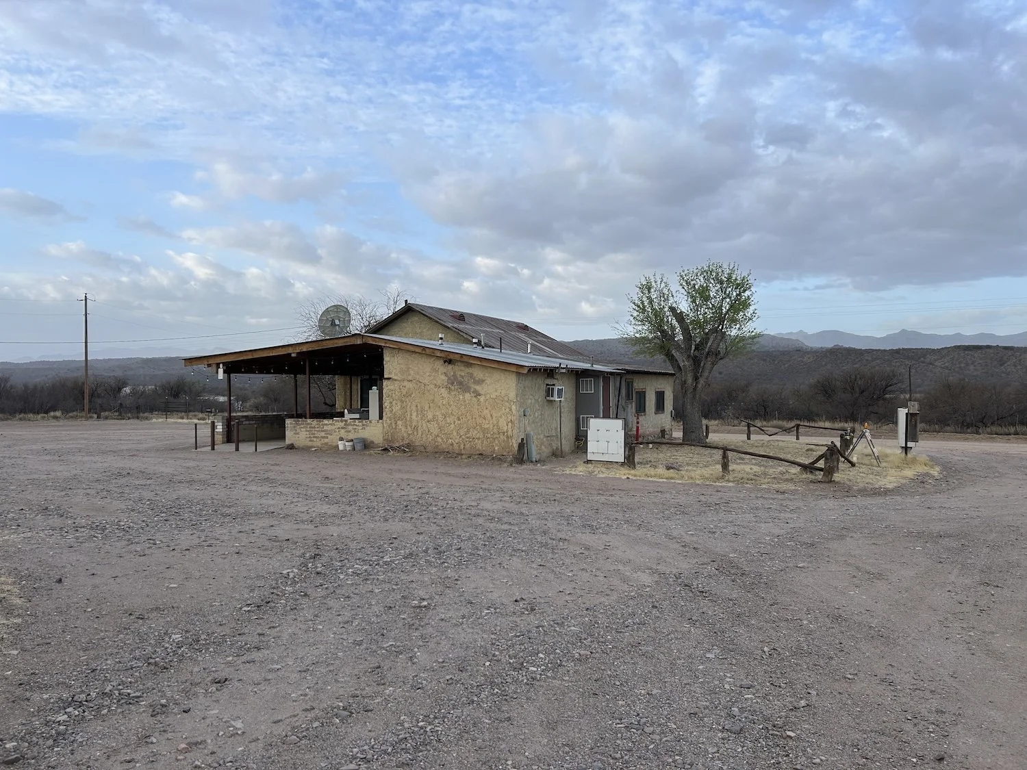
The General Store; Klondyke, AZ
Day 10: April 2nd, 2025 // 22.24mi, 3,612ft+
Prior to setting off on the dirt road that would set me on a path toward the Santa Teresa Wilderness and the Holdout Canyon Trail, I topped off my water and checked for the umpteenth time that my devices were fully charged.
I’d woken up anxious, eyeing the opaque air, so thick with particles I was tempted to believe the haze was caused by smoke from a fire, not the aftermath of a dust storm. My chest felt tight and I used my inhaler for the fourth time since arriving to Klondyke.
I didn’t realize how nervous about this section of the “trail” I was, until I reached the gate that would take me to Reef Tank and the vague path beyond I was to follow through a very remote wilderness area. My lungs felt like they were in a vice as I climbed higher and higher on 4X4 track, the air growing hazier with every quarter mile.
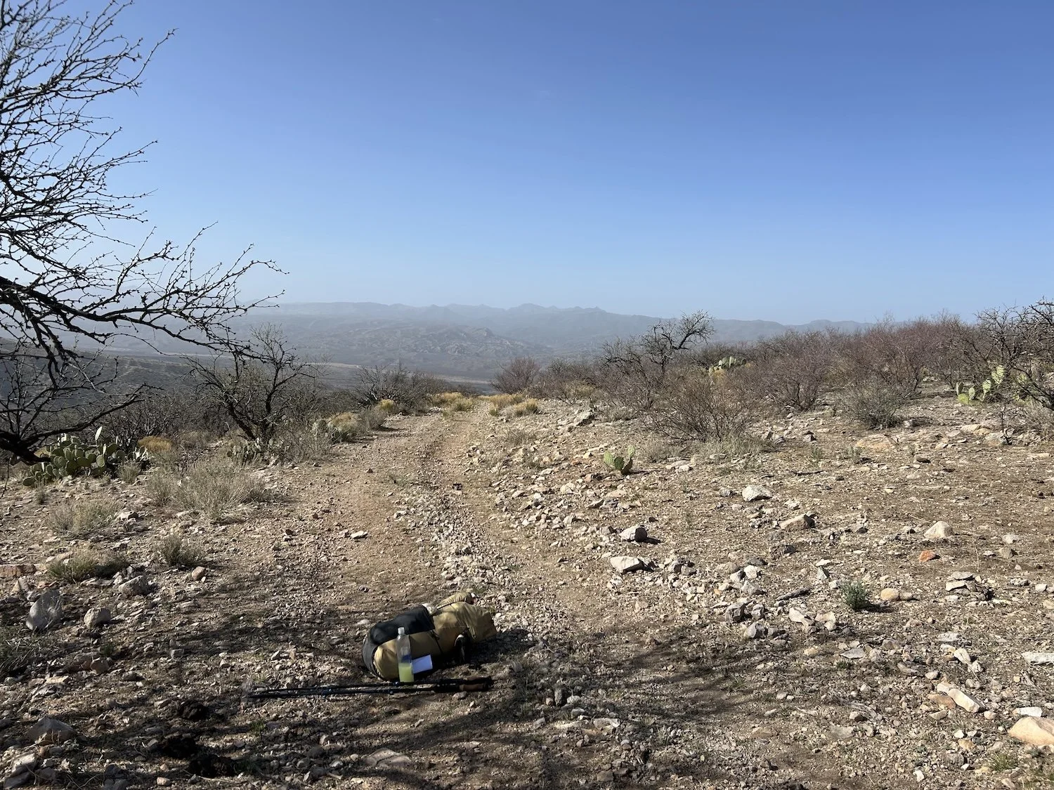
Decision point
I wanted to do it, I would do it, I could do it, I told myself with every step. And yet, my hands shook and my breath came in gasps.
Was I having an asthma attack? A panic attack? What if I had an asthma attack and died in the middle of the wilderness area? Who would come for me? Even if I managed to hit the SOS button on my InReach, it would take ages for anyone to get to me. My thoughts came in spirals of worry, sucking me down, down, down.
I reached a rise on the dirt road and shucked my pack, collapsing onto my knees in the scraggly shade of a mesquite tree.
“Why am I like this?” I said to earth, to the dusty sky, to the silent mountains. A sob welled up inside of me and tears tipped over my eyelids, carving little canyons through the dirt coating my face.
I felt the opposite of brave. There was so much terrain between me and Safford, so many unknowns, and the Santa Teresa’s felt like the biggest. Holdout Canyon would have many navigational challenges and limited water. Beyond it lay a 3 mile cross country route without any trail to speak of, and I was still learning this place, learning the personality of this route.
I hung my head and sat down on the stony ground; I knew I would not continue on this path.
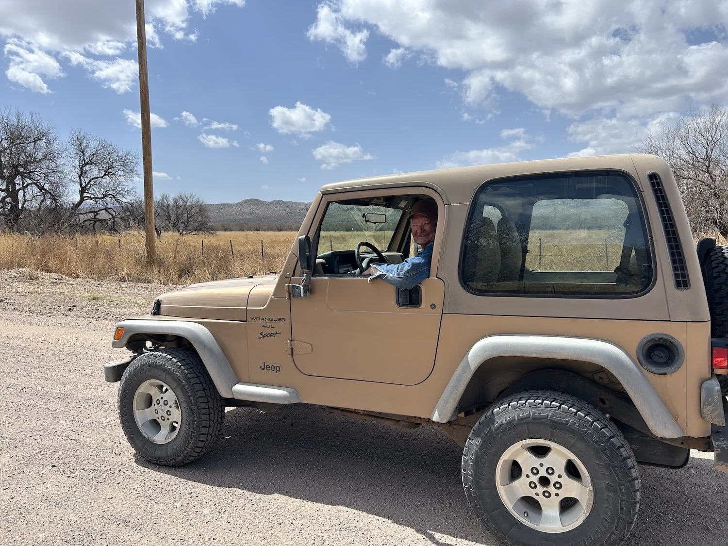
An unexpectedly happy encounter with a man named Lee Roy
I felt like a failure, turning back from the Santa Teresa Wilderness. It had been a major goal to traverse it, but then, I hadn’t exactly done much to prepare specifically for it. My arrival to Klondyke felt very rushed and thrown together. I hadn’t arrived on a day when the store was open so I hadn’t been able to connect with the store owners or talk to anyone about the terrain ahead.
Turning tail and doing the walk of shame back past The Store felt awful. Once I was half a mile past it, I sat down in a shady spot and ate some lunch, which helped a little. But what really helped was meeting LeRoy in his very cool, sand-colored Jeep Cherokee.
I’d just begun walking again, when I heard tires on the road behind me. A man who at once appeared full of light and joy pulled up beside me and asked me with a beaming smile where in the world I was going.
His joy was infectious and I cracked a smile. “I’m walking to Albuquerque.”
“Well isn’t that something!”
Lee Roy told me that woman in the community had died and he was just then on his way home after feeding her animals; all of her neighbors were pitching in. He idled beside me and we chatted for at least ten minutes in the middle of that dusty road. We talked about loss and mental health and ultimately: letting go.
He told me he thinks the point of it all is just to see things, to absorb as much as possible, that death itself might come as a sweet relief on the heels of a full life.
So maybe that is what I needed to do, let go of what I want this hike to be or mean and just allow it to be what it is. To accept and relish in whatever sort of adventure I am given.
Buford Hill
“There is something I must consider while I am out here; perhaps there is no greater purpose in life than the one I decide to believe in. I will live to be hopelessly sad another day, to become tied into knots the next; my despair will be punctuated by moments of elation. There will be devastation and bitter disappointment; I will handle set backs poorly and sometimes with grace. I will be exhausted one minute and lit with inspiration the next. And I will struggle to cope with these very human feelings. I will go to therapy because I want it to stop and because I tell myself I would rather spread the peaks of my feelings into some semblance of smooth, sameness. But that is not actually what I want. I want to live, to really and truly live.
Leeroy told me a friend of his died on the operating table during open heart surgery and then came back to life; she said what waited for her on the other side of death was so beautiful she didn’t want to come back. If death is truly beautiful in all the ways living falls short, perhaps that is my purpose—to live so that I arrive on the final threshold entirely wrung out, having done and seen and felt all that I can” —excerpt from my journal
The road to Cherry Spring Wash
I crawled under barbed wire fences and walked in deep, sandy washes; I sat beside a giant tractor tire turned cattle trough and contemplated life; and just before I made camp in Cherry Spring Wash, two grey foxes darted into open view before me. They paused, narrow faces peered at me over silver shoulders, large ears swiveling this way and that, considering; and then they vanished into the scrub. They left me feeling noticed in a way I needed. I felt perceived by the desert and perhaps that was all I wanted.
Cozy camp in Cherry Spring Wash
Day 11: April 3rd, 2025 // 24.84mi, 6,368ft+
“A day I merely survived” —except from journal
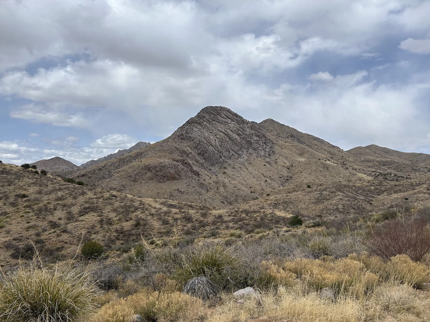
Looking back at the Santa Teresa Wilderness
It was a hard day but still an “okay” day when everything was said and done. First I encountered several No Trespassing signs dotting the dirt roads that were supposedly my route; knowing no other way, I put my head down and hiked fast.
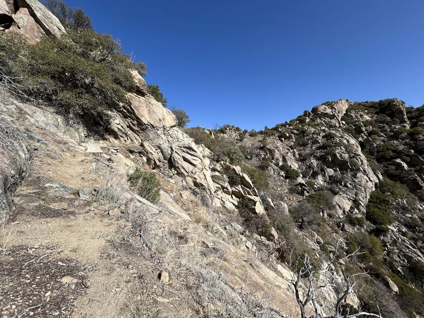
Then I followed an off trail route into the Pinaleños successfully and actually quite enjoyed it. It was a straightforward route up and over a steep ridge, studded with agave and cat claw and other vicious, thorn-coated vegetation.
On the other side of the ridge I expected to land at a developed campground or trailhead—not so. The world I descended into was densely forested by ponderosa and mapped only by a network of dirt roads. There was no signage marking the start or end to anything and there wasn’t a single vehicle in sight. I hadn’t seen another person since I spoke with Lee Roy the day before at noon.
The cross country route up and over the ridge into the Pinaleños
I needed water and so I opted to take Sawmill Canyon up into the mountains instead of John’s Canyon, which was supposedly very dry. The Sawmill Trail was less of a trail and more of a pipeline through the forest. I literally followed a PVC pipe for two and half miles through the woods only to be dropped into a twenty-car-pile-up of downed trees at the choke point of the canyon.
Navigating the deadfall took some doing, but by that point I was committed.
The start of Sawmill Canyon
I topped out on West Peak at 8,658ft and took in the view. The sky looked grey and unfriendly and I’d truly never felt more alone. I wasn’t sure when I’d see another person. These places I was traveling through did not seem like the kind many people visited.
Solitude was what I wanted, at least, that’s what I told myself in the days leading up to my departure for Phoenix. But maybe “want” was the wrong word—need might be more appropriate—there was something only these places could teach me and I had to do this alone.
I descended to Taylor Saddle on a trail that was more of a memory than it was a path, last seeing maintenance in 2010, according to the guidebook. I payed attention to every clue I could find, which suggested where a trail might have been, and then at long last I arrived at the low point in the ridge. I made camp as dusk fell and quickly donned every layer I had. The evening was cold and my camp was high at 7,100ft.
Before I bedded down, I scoped out my path for tomorrow. It seemed in better shape than the one I’d followed down to the saddle and was marked by a cairn at the start. Knowing I would not have to rely heavily on my gps right at the start of the day provided me with some relief.
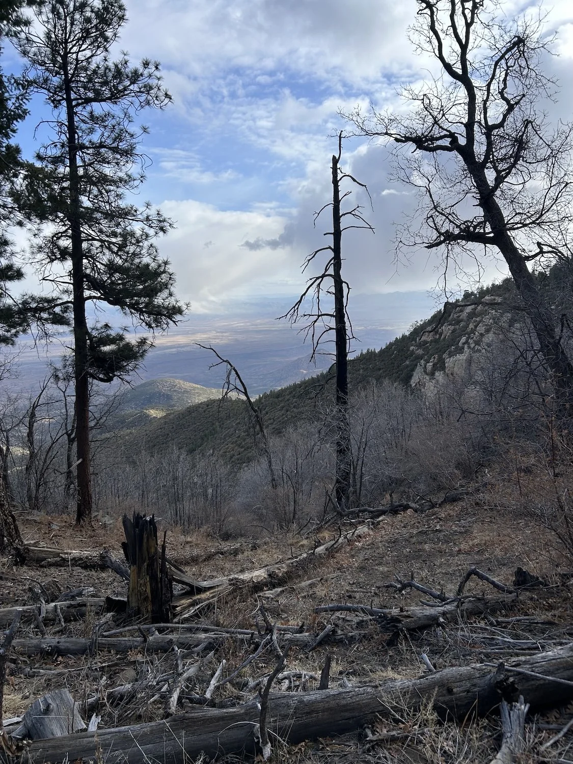
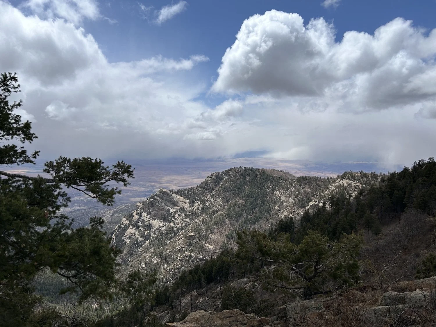
Looking ahead to Clark Peak in the Pinaleños
Day 12: April 4th, 2025 // 27.24mi, 4,570ft+
Remnants of a past burn
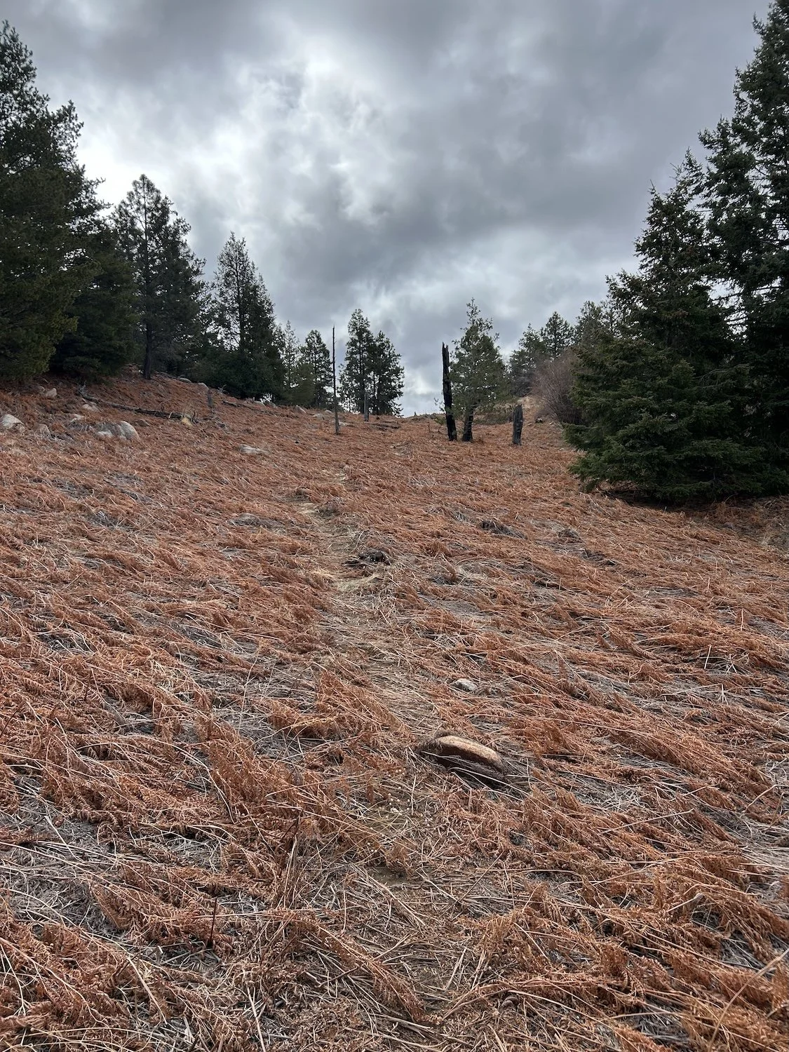
Dead ferns
I woke up cold but not frigid on silent Taylor Pass. The night had been so dead quiet, in fact, that when I woke up in the middle of the night to roll over and relieve my aching hips, the ringing in my ears was so intense, it almost hurt.
The climb to Clark Peak at 9,012ft was long and winding. I ascended on passable trail, then off trail, then on some vague suggestion of a deer trail, until I gained the ridge properly and found excellent trail underfoot, but by then I felt less worried about what the trail quality was going to be like, because the bar had been set so low.
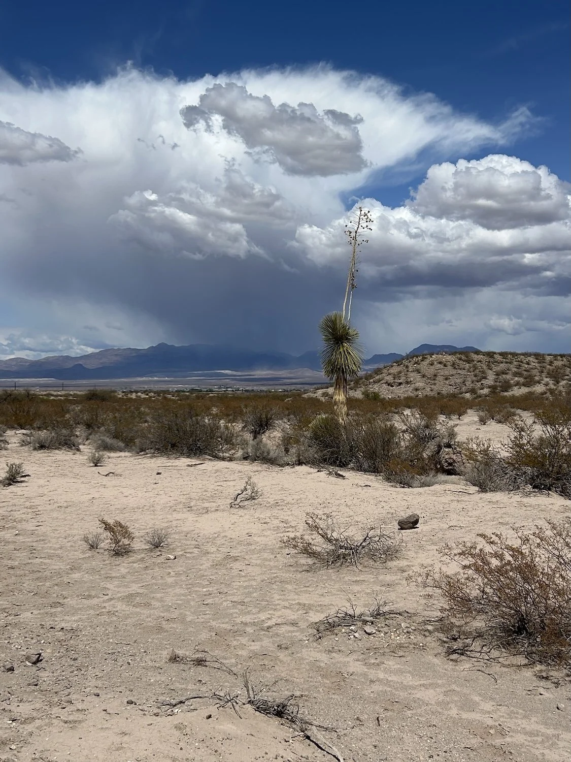
Virga Rain over the basin moving in my direction
I took the side trail to the summit of Clark Peak and signed the register housed in a Tostitos Salsa jar. As I nestled the jar back into its pile of rocks, snow began falling, and not lightly. The flakes were huge and obscuring and immediately I began to panic that I would lose my way and become a casualty in this little visited place. I ran pellmell back to the trail, which felt much further down the side trail than I remembered. When I finally reached it, I did not let up my pace. I jogged on, eager to reach the Swift Trail, a definitive road.
Snow on the summit of Clark Peak
The swift trail was a good dirt road, easy to walk as it stayed high and didn’t much descend or climb.
I hiked down to Riggs Lake, in a daze from the bitter cold. I needed to add layers, I was still hiking in shorts because I hadn’t stopped moving since Clark Peak. At the edge of the lake I pulled on my Frog Tog rain gear over my long underwear which I’d pulled on over my shorts, and I put my fleece on under my puffy jacket. I shoved my beanie down over my ears before I took one last look at the lake—a great water source but one I didn’t need since the cold had done nothing to encourage my thirst—and headed back to the Swift Trail.
On the road once more I encountered a sign that read “Safford - 40 miles”, much to my dismay. It was so much farther than I expected.
The original route for the GET was obliterated by fire and flood and the new suggested route continued along the Swift Trail for many miles before hikers join single track once more along the descent.
Up ahead I saw a man get out of a car. He took one look at me and busied himself with something in his trunk before getting back in his car and driving off. I kept walking. A mile or more later I saw him again; this time I was close enough to make contact.
“Hey! Do you work for the Forest Service?”
“No.”
“Oh, okay. Well, have you hiked much around here?”
“I don’t hike. I work for the University.”
“Ah, I was hoping you might know something about the trail conditions.”
“This whole area has burned multiple times. I doubt there are any trails left.” He turned back to whatever gear or equipment he had in his trunk.
I thanked him for his time and kept walking. He’d seemed genuinely nervous, for what reason I cannot guess besides, maybe, that my lip was split and bleeding, I looked haggard, and, quite possibly, I smelled.
I carried on down the road for what seemed like an age, making it to Arcadia campground, a drive-in campground, just as night fell, along with more snow. I shivered in the cold as I burrowed into my sleeping bag. Exhaustion carried me off to sleep, but I was woken at midnight by blaring music and headlights. The vehicle did not leave the campground for what seemed like hours; I fell back asleep before then.
Views along the Swift Trail
Day 13: April 5th, 2025 // 26.13 mi, 2,103ft+
I continued along the road in the morning, now desperate for water, and found West Canyon Creek. I filtered water into my Smart water bottles and made some instant coffee and oatmeal while sitting in a warm sliver of sunlight. Today was a new day.
Round the Mountain Trail
I joined a trail off the highway and relished in its unbelievable quality—it was well maintained! At last! I hiked past the burbling streams in Noon and Marjidilla Canyons, enjoying the relative smoothness of the trail and the open views. This trail would ultimately deposit me on a series of dirt roads through the desert basin in which Safford was situated.
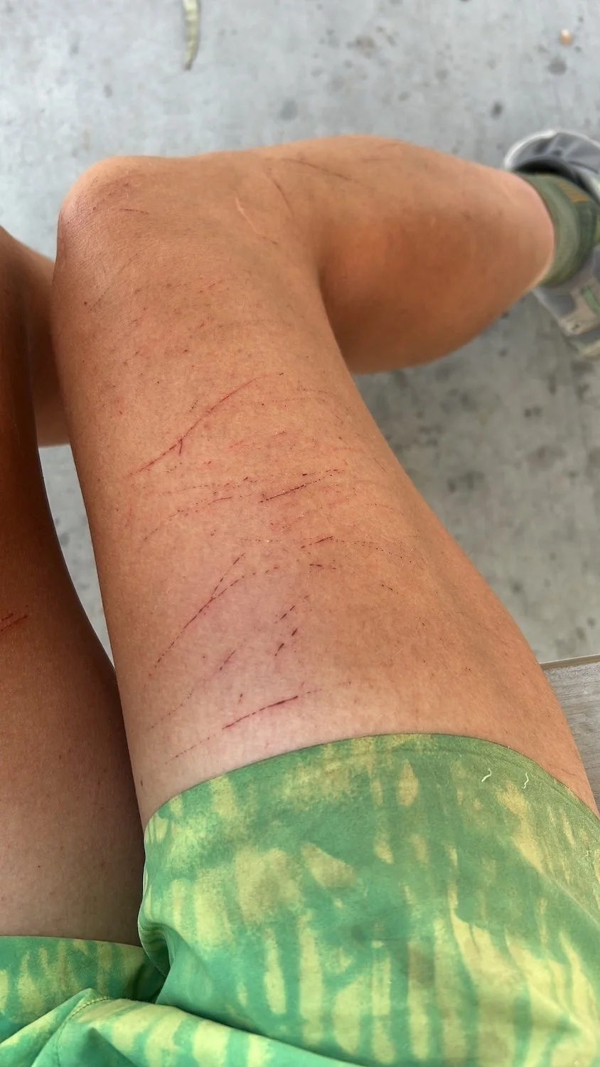
As I power-walked across the desert flats beneath the snow capped peak of Mt. Graham, I realized the desert was infiltrating me with each passing day. The day before, I’d squeezed a thorn out of the meat covering my ankle bone; the cuts on my legs were full of grime and filth and the inside of my mouth was coated with grit. There was dust in my lungs and red sand beneath my nails. There are worse things to be filled with than the desert.
High desert above Safford, AZ
The network of dirt roads leading to Safford felt never ending; as I walked I considered the ephemeral quality of my sleep in the desert.
My dreams were vivid, worrisome, they haunted me well into the day. I seemed to come-to many times during the night, aware of my surroundings, but in the morning I did not feel like I had slept poorly. My dreams felt like a parallel life reluctant to let me go, as if the waking world was somehow less important, less real.
Phainopepla studied me from his perch in a spiky bush, his black robe shining in the heat of the afternoon sun. I’d seen him once before on the Arizona Trail, near Superior, his silky crest raised and red eye gleaming. Again, I had the distinct impression of being observed by the world, or maybe by the spirit of this place.
I called Logan when I hit pavement. I felt more confident, having made it to Safford, that I could make it to Gila to meet his parents, Tim and Sarah, who were planning to resupply me there. But I was honest about the low I’d had coming into the Pinaleños.
The outdoor store, Gila Outfitters, I’d been counting on for fuel and a water filter let me down on both counts, but the people who worked there were so friendly it made up for the fact that the shop was geared solely towards hunters and off-roading.
Next I went to Sonic, which happened to be right across the street from the Motel 6, where Logan had booked me a room for two nights. While I was sitting at one of the picnic tables out front, a man and his two kids came up to me.
“How far are you going?”
“Hopefully all the way to Albuquerque.” I smiled.
“You know, I think endurance sports are so cool. I had a goal a year or so back of running a marathon. I trained like crazy and I’ll tell you what, I did it. I’m 50 years old and I did that.”
“That is amazing, you should be really proud.”
His gaze was distant, like he was remembering.
“Yeah, well.” He looked down at his boots. “You have safe travels, now.”
Another dirt road, with a view of Mt. Graham
The women working at the Motel 6 looked like they could handle just about any kind of troublemaker, which didn’t exactly bode well for me and my stay, but I didn’t waist much time wondering about the clientele. Later that night, though, it sounded like an absolute rager was unfolding in the room below mine, my bed frame shaking with the pounding base, and in the morning there was puke all over the stairs.
I truly couldn’t have cared less, though. I think I was just glad to not have died in the desert or to have spent another night freezing in my tent.
Lone tree outside Safford
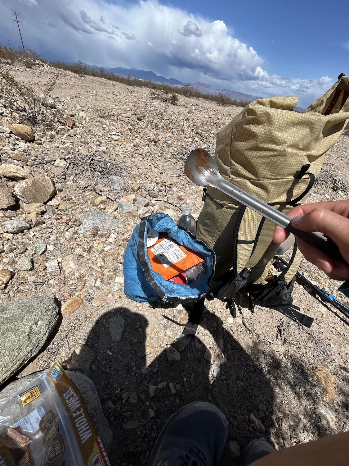
Making my own shade for a snack break
Day 14: April 6th, 2025 // 0mi, 0ft+
On my zero day, I went to a diner for breakfast and listened to a couple of yokels in plaid and denim muttering and guffawing over their morning coffee. They told several obscene jokes about women, their laughter raucous, and in the next breath gossiped about who was and was not showing up to church.
The rest of the day I spent grocery shopping, washing my clothes in the shower and resting my feet for the next leg of my journey.